

Village Apetatitlán de Antonio Carvajal, Tlaxcala Municipality of Apetatitlán de Antonio Carvajal
Locality in Apetatitlán de Antonio Carvajal at 2,277 m with 926 residents in 2020, a few kilometres from Tlaxcala city.
From Chiautempan: 5 min by car (4 km by road) How to get there ↓
Near here
See everything nearby ↓


Plan your visit to Tecolotla
Where to stay near Tecolotla
Compare hotels, posadas and guest houses in Tecolotla.
Tours to Tecolotla
Day trips and guided outings from Ixtenco often include Tecolotla; with a local guide you can get there without a car.
 Tours from Puebla City
Africam Safari Zoo Admission with Transportation
★ 4.8 (87) · From US$35
How to get to Tecolotla
- From Chiautempan: about 5 min by road (~4 km)
- Nearest airport: Puebla (PBC), 1 h 16 min by car to Ixtenco
Links open a partner site. We may earn a commission if you book, at no cost to you.
Tours from Puebla City, near Tecolotla


Tours, prices and ratings from Viator, checked weekly. We may earn a commission if you book.
About Tecolotla
Tecolotla is one of the six localities of the municipality of Apetatitlán de Antonio Carvajal, in central Tlaxcala, and the fifth by population: 926 residents in the 2020 census, at about 2,277 metres. At the entrance stands a sign of coloured letters, red, green, blue and yellow, spelling TECOLOTLA, which serves as a landmark on the road through the community; in photographs it is framed by trees and red volcanic gravel. The name is of Nahuatl origin and recalls the tecolote, the owl.
The community is about 6 km in a straight line from central Tlaxcala city (approx., from coordinates) and about 2.5 km from Chiautempan, in a small municipality of about 7 km² and an average altitude of 2,340 m, bordering Tlaxcala, Chiautempan, Yauhquemehcan, Amaxac de Guerrero and Contla de Juan Cuamatzi. About 90% of Tecolotla's residents say they are Catholic, according to a locality directory.
Tecolotla has no published monuments of its own; what is visited in Apetatitlán is concentrated in the seat, San Pablo Apetatitlán, about 7 km from Tlaxcala by the Tlaxcala–Chiautempan–Apetatitlán road: the Parroquia de San Pablo, made a parish in 1767, and the Templo de Jesús, built in stages between the 17th and 19th centuries. The municipality also carves religious figures from ayacahuite wood, with glass eyes and articulated limbs, and Tlatempan makes carnival masks. Municipal festivities include the carnival of San Pablo Apetatitlán, the start of Todos Santos on 28 October, and the feast of San Pablo and San Pedro, with a novena starting nine days before 29 June.
How to get to Tecolotla
Drive from Chiautempan: 5 min, 4 km
Tecolotla is about 6 km in a straight line from central Tlaxcala (approx., from coordinates) and about 2.5 km from Chiautempan. The municipal seat, San Pablo Apetatitlán, is about 7 km from Tlaxcala city by the Tlaxcala–Chiautempan–Apetatitlán road, which is the main axis of the area. The practical way is to come by car or taxi from Tlaxcala, which has the Exal bus terminal; from Mexico City there are buses from the TAPO terminal to Tlaxcala. No colectivo routes or schedules to Tecolotla are published, so ask in Chiautempan or Apetatitlán about local transport.
Directions to Tecolotla on Google Maps
Distances are in a straight line; the road is usually longer.
Links open a partner site. We may earn a commission if you book, at no cost to you.
From the nearest cities to Tecolotla
- Chiautempan · 4 km by road, 5 min
- San Martín Texmelucan · 31 km by road, 25 min
- Huamantla · 36 km by road, 30 min
Drive times by road from OpenStreetMap, without traffic or stops. Times marked ~ are estimated from the straight-line distance.
Visiting Tecolotla: what to see and do
The coloured-letter Tecolotla sign on the entrance road
The Parroquia de San Pablo in San Pablo Apetatitlán, about 7 km from Tlaxcala
The Templo de Jesús beside the parish, built between the 17th and 19th centuries
The ayacahuite wood figures of Apetatitlán and the masks of Tlatempan
The carnival of San Pablo Apetatitlán and the Todos Santos altars from 28 October
Plan your trip
Places to stay in Tecolotla
Compare hotels, posadas, and rentals in and around Tecolotla.
Tours & activities
Day trips and guided outings from Ixtenco often include Tecolotla; with a local guide you can get there without a car.
Rental cars
Pick up a car at PBC (Puebla): about 1 h 16 min by road to Ixtenco, then 28 km more to Tecolotla, on your own schedule.
Flights
The nearest airport with scheduled flights is Puebla (PBC), about 1 h 16 min by road from Ixtenco, the base for Tecolotla.
Mobile data
Signal can drop away from Ixtenco: download a map of the way to Tecolotla before you set out, or carry an eSIM with data.
Links open a partner site. We may earn a commission if you book, at no cost to you.
When to go to Tecolotla cool
Tecolotla shares the climate of Ixtenco, 28 km away. The best months to visit are February, March, November, and December.
See the month-by-month climate of Ixtenco
Weather in Tecolotla now and the next 7 days
Live forecast from Open-Meteo. Chance of rain is the day's highest.
The closest Pueblo Mágico: Ixtenco

Ixtenco is the Pueblo Mágico closest to Tecolotla, with places to stay, food, and more to see.
Also close to
- Huamantla · Tlaxcala · 28 km away
- Tlaxco · Tlaxcala · 31 km away
- Huejotzingo · Puebla · 31 km away
- Cholula · Puebla · 34 km away
- Atlixco · Puebla · 54 km away
Closest to Tecolotla
-
Apetatitlán de Antonio Carvajal · Town · 1 km away
-
Belén Atzitzimititlán · Town · 1 km away
-
Amaxac de Guerrero · Town · 2 km away
-
Contla · Town · 2 km away
-
San Matías Tepetomatitlán · Village · 2 km away
-
Santa María Ixtulco · Town · 2 km away
-
Tlatempan · Town · 2 km away
-
Chiautempan · Town · 3 km away


Near Tecolotla


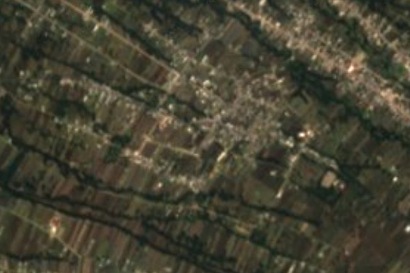


Drive times by road from OpenStreetMap, without traffic. Times marked ~ are estimated from the straight-line distance.
Location from OpenStreetMap. Written by Puebloteca.