


Town Maxcanú, Yucatán Municipality of Maxcanú Camino Real (Yucatán)
A market town on the Mérida–Campeche road with a Tren Maya station, a big red-ochre church, and Oxkintok and the Calcehtok caves close by.
From Mérida: 50 min by car (64 km by road) How to get there ↓
Near here
See everything nearby ↓


Plan your visit to Maxcanú
Where to stay near Maxcanú
Compare hotels, posadas and guest houses in Maxcanú.
Tours to Maxcanú
Day trips around Sisal sometimes stop in Maxcanú; a tour is the easy way to see it without a car.
How to get to Maxcanú
- From Mérida: about 50 min by road (~64 km)
- Nearest airport: Mérida (MID), 1 h 7 min by car to Sisal
Links open a partner site. We may earn a commission if you book, at no cost to you.
About Maxcanú
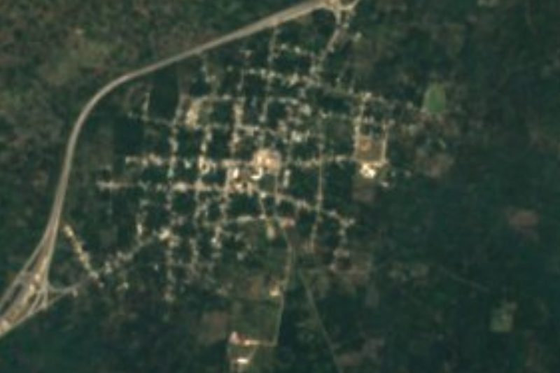
Maxcanú is a town of about 14,000 people (13,965 in the 2020 census) in western Yucatán, the seat of a large municipality that reaches west to the Campeche border. It sits on Federal Highway 180, about 62 km south of Mérida, and it is the natural base for the Maya city of Oxkintok and the Calcehtok caves, just to the east, and the vast, little-visited ancient city of Chunchucmil, about 25 km west. The Maya name is read in different ways, as "the beard of Kanul" (Kanul being a family name) or "his four monkeys".
Before the conquest the area belonged to the Ah Canul chiefdom. In 1734 the encomienda of José Domingo Pardío counted 256 Maya tributaries here. During the tensions that led to the Caste War, in 1847, the state government set up whipping posts at the entrance to town to punish Maya suspected of conspiracy, the local cacique among them. Maxcanú was a villa by 1900, was declared a city on 28 April 1914 only to have the decree reversed, and lost Kopomá, which became a municipality of its own, in 1935. The anthropologist Alfredo Barrera Vásquez, chief editor of the great Cordemex Maya dictionary, was born here.
The parish church of San Miguel Arcángel dominates the centre with its tall, battlemented red-ochre front; Spanish-language Wikipedia notes that the 90° west meridian runs through its tower. The state government also lists a 17th-century church of Nuestra Señora del Carmen and the chapel of the Tres Cruces among the town's monuments. On the town square, the arcaded green municipal palace with its clock tower faces streets busy with tricycle taxis, and women sell seeds and produce at the market. The shaded main square is bigger than Mérida's Plaza Grande, a white plaque marks Alfredo Barrera Vásquez's birthplace, and a long staircase climbs to a small hilltop chapel with a view. On the outskirts, the decaying Hacienda Chan Chocholá has odd French-style towers with slate roofs. The farms around town grow jícama, maize, habanero chiles, aloe and Maradol papaya. Maxcanú has a bus station with services to Mérida and Campeche, combis to the surrounding villages, and a Tren Maya station just outside town.
How to get to Maxcanú
Drive from Mérida: 50 min, 64 km
From Mérida take Federal Highway 180 toward Campeche through Umán, Chocholá and Kopomá: about 62 km, roughly 50 minutes to an hour. Buses between Mérida and Campeche stop at Maxcanú's bus station, and the Tren Maya stops at Maxcanú station just outside town. For Oxkintok and Calcehtok take the secondary road east from Maxcanú.
Directions to Maxcanú on Google Maps
Distances are in a straight line; the road is usually longer.
Links open a partner site. We may earn a commission if you book, at no cost to you.
From the nearest cities to Maxcanú
- Mérida · 64 km by road, 50 min
- Campeche · 112 km by road, 1 h 25 min
- Valladolid · 221 km by road, 2 h 50 min
Drive times by road from OpenStreetMap, without traffic or stops. Times marked ~ are estimated from the straight-line distance.
Before you go to Maxcanú: hours, prices and tips
- Best season
- Fiesta of San Miguel Arcángel in the second half of September (16–29 September); Santa Cruz 1–3 May; Virgen de Guadalupe around 8–15 December. Wikipedia (es) and Gobierno del Estado de Yucatán · checked Oct 2026
Hours and prices change, especially around holidays. Each fact links to where we checked it.
Visiting Maxcanú: what to see and do
See the red-ochre parish church of San Miguel Arcángel, whose tower sits on the 90° west meridian.
Walk the main square past the arcaded municipal palace and its clock tower.
Browse the market, where women sell seeds and local produce, and eat regional fish and shrimp dishes at Restaurant Oxkintok, across from the church.
Climb the long staircase to the small hilltop chapel for the view.
Visit the Maya city of Oxkintok and the Calcehtok caves, a short drive east.
Come in the second half of September for the fiesta of San Miguel Arcángel.
Plan your trip
Places to stay in Maxcanú
Compare hotels, posadas, and rentals in and around Maxcanú.
Tours & activities
Day trips around Sisal sometimes stop in Maxcanú; a tour is the easy way to see it without a car.
Rental cars
Pick up a car at MID (Mérida): about 1 h 7 min by road to Sisal, then 65 km more to Maxcanú, on your own schedule.
Flights
The nearest airport with scheduled flights is Mérida (MID), about 1 h 7 min by road from Sisal, the base for Maxcanú.
Mobile data
Signal can drop away from Sisal: download a map of the way to Maxcanú before you set out, or carry an eSIM with data.
Links open a partner site. We may earn a commission if you book, at no cost to you.
Photos
When to go to Maxcanú warm
Maxcanú shares the climate of Sisal, 65 km away. The best months to visit are January, February, November, and December.
See the month-by-month climate of Sisal
Weather in Maxcanú now and the next 7 days
Live forecast from Open-Meteo. Chance of rain is the day's highest.
The closest Pueblo Mágico: Sisal

Sisal is the Pueblo Mágico closest to Maxcanú, with places to stay, food, and more to see.
Also close to
- Maní · Yucatán · 67 km away
Closest to Maxcanú
-
Oxkintok · Archaeological site · 6 km away
-
Hacienda San José Chactún · Landmark · 7 km away
-
San Bernardo · Village · 8 km away
-
Grutas de Calcehtok · Cave · 10 km away
-
Hacienda Santa Rosa de Lima · Landmark · 10 km away
-
Kopomá · Village · 13 km away
-
Cepeda · Village · 14 km away
-
Halachó · Town · 15 km away

Near Maxcanú


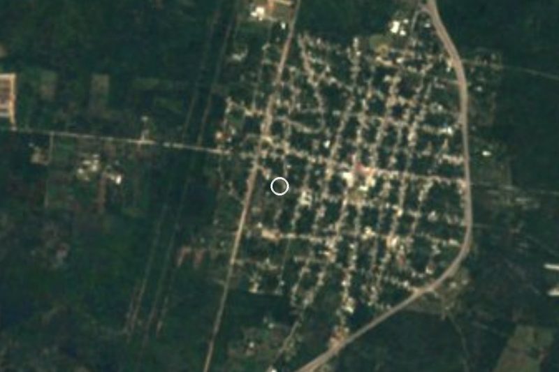


Drive times by road from OpenStreetMap, without traffic. Times marked ~ are estimated from the straight-line distance.
Location from OpenStreetMap. Written by Puebloteca.