


Village Opichén, Yucatán Camino Real (Yucatán)
A small municipal seat between Muna and Maxcanú with an 18th-century church of San Bartolomé, the nearest town to the Calcehtok caves.
From Mérida: 1 h by car (75 km by road) How to get there ↓
Near here
See everything nearby ↓

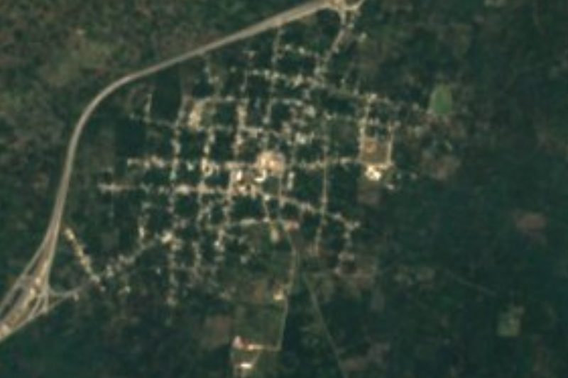


Plan your visit to Opichén
Where to stay near Opichén
Compare hotels, posadas and guest houses in Opichén.
Tours to Opichén
Day trips and guided outings from Maní often include Opichén; with a local guide you can get there without a car.
How to get to Opichén
- From Mérida: about 1 h by road (~75 km)
- Nearest airport: Mérida (MID), 1 h 27 min by car to Maní
Links open a partner site. We may earn a commission if you book, at no cost to you.
About Opichén
Opichén is a small town in western Yucatán, the seat of the municipality of the same name, on the road between Muna and Maxcanú: about 22 km northwest of Muna and 20 km southeast of Maxcanú, and some 52 km southwest of Mérida as the crow flies. It had 5,412 inhabitants in the 2020 census, up from about 2,100 in 1900. The Maya name is usually read as "inside the well" or "inside the cave", from op, inside, and ch'en, well or cave, a fitting name for a municipality whose best-known sight is underground.
Before the conquest the area belonged to the domain of the Tutul Xiú lords of Maní. In colonial times it was given in encomienda, with grants recorded from 1607 to 1705, and in 1825 it became part of the Camino Real Bajo district. In 1847, at the start of the Caste War, Opichén and nearby Calcehtok saw fierce fighting. Around 1900 the town did well from maize and cattle, and in 1911 the politician Delio Moreno Cantón launched a strong opposition movement against the state government of Nicolás Cámara Vales from here.
The 18th-century church of San Bartolomé, a plain stone building with a stepped gable, stands in the centre of town; the main park has a bandstand and a children's playground; the Capilla de la Mejorada is another 18th-century chapel in town. The town holds three fiestas: its traditional fiesta from 23 to 27 February, San Bernabé from 8 to 12 June, and San Bartolomé, its patron, at the end of August. Opichén is the closest town to the Calcehtok caves, a few kilometres west in its own comisaría of Calcehtok, a village that grew up around an old cattle and henequen hacienda; the Maya city of Oxkintok lies just beyond, in Maxcanú municipality.
How to get to Opichén
Drive from Mérida: 1 h, 75 km
From Mérida take Federal Highway 180 toward Campeche to Maxcanú (about 62 km), then the secondary road southeast past the Oxkintok turnoff and Calcehtok for about 20 km to Opichén. Coming from Uxmal or Muna, take the road northwest from Muna, about 22 km.
Directions to Opichén on Google Maps
Distances are in a straight line; the road is usually longer.
Links open a partner site. We may earn a commission if you book, at no cost to you.
From the nearest cities to Opichén
- Mérida · 75 km by road, 1 h
- Campeche · 124 km by road, 1 h 35 min
- Valladolid · 233 km by road, 3 h
Drive times by road from OpenStreetMap, without traffic or stops. Times marked ~ are estimated from the straight-line distance.
Before you go to Opichén: hours, prices and tips
- Best season
- Traditional fiesta 23–27 February; San Bernabé 8–12 June; San Bartolomé at the end of August. Gobierno del Estado de Yucatán, municipio de Opichén · checked Oct 2026
Hours and prices change, especially around holidays. Each fact links to where we checked it.
Visiting Opichén: what to see and do
See the 18th-century church of San Bartolomé and its stepped stone gable.
Find the 18th-century Capilla de la Mejorada.
Sit in the main park by the bandstand in the evening.
Go underground at the Calcehtok caves with a local guide.
Visit the Maya city of Oxkintok, a short drive west.
Plan your trip
Places to stay in Opichén
Compare hotels, posadas, and rentals in and around Opichén.
Tours & activities
Day trips and guided outings from Maní often include Opichén; with a local guide you can get there without a car.
Rental cars
Pick up a car at MID (Mérida): about 1 h 27 min by road to Maní, then 52 km more to Opichén, on your own schedule.
Flights
The nearest airport with scheduled flights is Mérida (MID), about 1 h 27 min by road from Maní, the base for Opichén.
Mobile data
Signal can drop away from Maní: download a map of the way to Opichén before you set out, or carry an eSIM with data.
Links open a partner site. We may earn a commission if you book, at no cost to you.
Photos
When to go to Opichén warm
Opichén shares the climate of Maní, 52 km away. The best months to visit are January, February, November, and December.
See the month-by-month climate of Maní
Weather in Opichén now and the next 7 days
Live forecast from Open-Meteo. Chance of rain is the day's highest.
The closest Pueblo Mágico: Maní

Maní is the Pueblo Mágico closest to Opichén, with places to stay, food, and more to see.
Also close to
Closest to Opichén
-
Grutas de Calcehtok · Cave · 6 km away
-
Oxkintok · Archaeological site · 10 km away
-
Kopomá · Village · 12 km away
-
San Bernardo · Village · 14 km away
-
Maxcanú · Town · 15 km away
-
Hacienda San José Chactún · Landmark · 16 km away
-
Hacienda Ochil · Landmark · 18 km away
-
Abalá · Village · 21 km away


Near Opichén


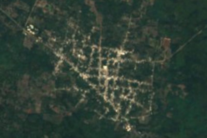

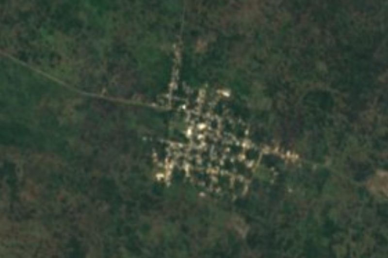
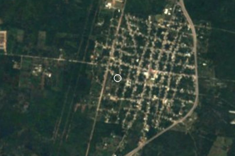
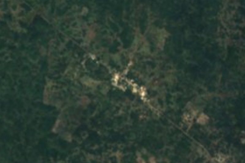


Drive times by road from OpenStreetMap, without traffic. Times marked ~ are estimated from the straight-line distance.
Location from OpenStreetMap. Written by Puebloteca.