

Archaeological site Maxcanú, Yucatán Municipality of Maxcanú Ruta Puuc Camino Real (Yucatán)
One of the oldest cities of the Puuc region, 70 km south of Mérida, with the Satunsat labyrinth, an early ballcourt and hardly any crowds.
From Mérida: 55 min by car (66 km by road) How to get there ↓
Near here
See everything nearby ↓


Plan your visit to Oxkintok
Where to stay near Oxkintok
Compare hotels, posadas and guest houses in Oxkintok.
Tours to Oxkintok
A guide brings Oxkintok to life: look for tours from Maní that include the site and the ride there.
 Tour Hacienda and Cenotes Mucuyché with Guided Tour in Oxkintok
★ 4.9 (42) · From US$96
How to get to Oxkintok
- From Mérida: about 55 min by road (~66 km)
- Nearest airport: Mérida (MID), 1 h 27 min by car to Maní
Links open a partner site. We may earn a commission if you book, at no cost to you.
Popular tours to Oxkintok


Tours, prices and ratings from Viator, checked weekly. We may earn a commission if you book.
About Oxkintok
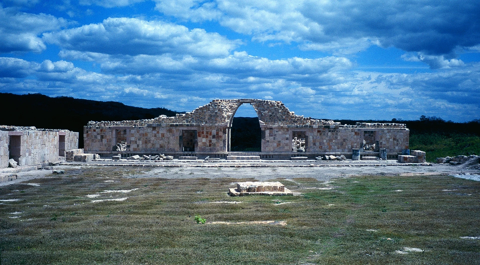
Oxkintok is a Maya city in the municipality of Maxcanú, about 70 km south of Mérida, near the village of Calcehtok and its caves. It sits at a strategic point between the west of the peninsula and the entrance to the Puuc hills, and its architecture mixes the Puuc style with traditions from central Mexico. Its Maya name is usually read as "three days flint" or "three cutting suns"; it was also known as Maxcanú or Tzat Tun Tzat.
It was inhabited for a very long time, from about 500 BC to AD 1450. In the Early Classic (300–550) it grew into a regional power on the trade routes linking the peninsula with the Gulf coast and the central highlands, and most of its pyramids and palaces were built then; inscriptions here carry dates of AD 475 and 487, among the oldest in northern Yucatán. In the Late Classic a ruler known from the inscriptions as Walas held power in the first half of the 8th century. By the Terminal Classic (850–1000) the city followed the Puuc tradition but lost importance as power shifted to Uxmal, and in the Postclassic people mainly added shrines and offerings to the old buildings. A Spanish archaeological mission excavated here from 1985 to 1991, and INAH has continued the work since.
The star building is the Satunsat, "the place to get lost": a three-level structure with a labyrinth of vaulted passages and chambers and a single entrance on the west, one of only four labyrinth buildings known in the Maya world. The May group is the most restored, the Ah Canul group has carved human figures in stone and a plaza where the equinox can be watched, the Millet group sends out a 650-metre sacbé, and the site has one of the oldest ballcourts recorded. Few people come, so you usually have it to yourself.
How to get to Oxkintok
Drive from Mérida: 55 min, 66 km
From Mérida, take Federal Highway 180 toward Campeche to Maxcanú, then the secondary road from Maxcanú toward Calcehtok; the site is signposted, about 70–74 km from Mérida in all. The Calcehtok caves are on the same road.
Directions to Oxkintok on Google Maps
Distances are in a straight line; the road is usually longer.
Links open a partner site. We may earn a commission if you book, at no cost to you.
From the nearest cities to Oxkintok
- Mérida · 66 km by road, 55 min
- Campeche · 112 km by road, 1 h 30 min
- Valladolid · 223 km by road, 2 h 55 min
Drive times by road from OpenStreetMap, without traffic or stops. Times marked ~ are estimated from the straight-line distance.
Before you go to Oxkintok: hours, prices and tips
- Hours
- Daily 8:00–17:00. INAH (site guide) · checked Oct 2026
- Entry
- 145 pesos general entry in 2026 (INAH category III); free for under-13s, over-60s, students and teachers with ID, and on Sundays for Mexicans and residents. POSTA (May 2026) · checked Oct 2026
- Rules
- Professional cameras and tripods need prior INAH permission; video cameras pay a fee. INAH (site guide) · checked Oct 2026
Hours and prices change, especially around holidays. Each fact links to where we checked it.
Visiting Oxkintok: what to see and do
Walk the outside of the Satunsat, the three-level labyrinth.
See the restored pyramid of the May group.
Look at the carved stone figures of the Ah Canul group.
Follow the 650-metre sacbé from the Millet group.
Combine it with the Calcehtok caves, about 5 km away.
Plan your trip
Places to stay in Oxkintok
Compare hotels, posadas, and rentals in and around Oxkintok.
Tours & activities
A guide brings Oxkintok to life: look for tours from Maní that include the site and the ride there.
Rental cars
Pick up a car at MID (Mérida): about 1 h 27 min by road to Maní, then 62 km more to Oxkintok, on your own schedule.
Flights
The nearest airport with scheduled flights is Mérida (MID), about 1 h 27 min by road from Maní, the base for Oxkintok.
Mobile data
Signal can drop away from Maní: download a map of the way to Oxkintok before you set out, or carry an eSIM with data.
Links open a partner site. We may earn a commission if you book, at no cost to you.
Photos
When to go to Oxkintok warm
Oxkintok shares the climate of Maní, 62 km away. The best months to visit are January, February, November, and December.
See the month-by-month climate of Maní
Weather in Oxkintok now and the next 7 days
Live forecast from Open-Meteo. Chance of rain is the day's highest.
The closest Pueblo Mágico: Maní

Maní is the Pueblo Mágico closest to Oxkintok, with places to stay, food, and more to see.
Also close to
Closest to Oxkintok
-
Grutas de Calcehtok · Cave · 4 km away
-
Maxcanú · Town · 6 km away
-
Hacienda San José Chactún · Landmark · 7 km away
-
San Bernardo · Village · 8 km away
-
Opichén · Village · 10 km away
-
Kopomá · Village · 11 km away
-
Hacienda Santa Rosa de Lima · Landmark · 15 km away
-
Halachó · Town · 16 km away


Near Oxkintok
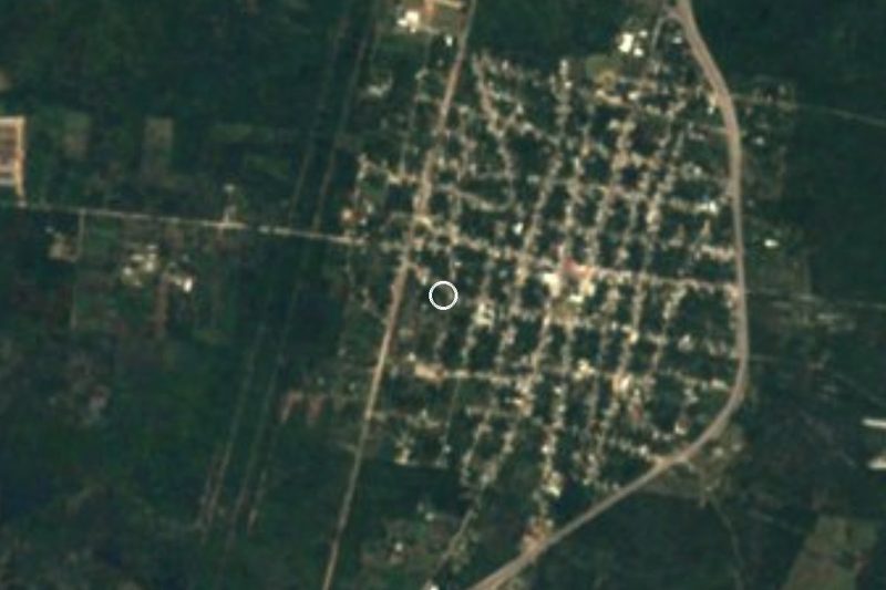
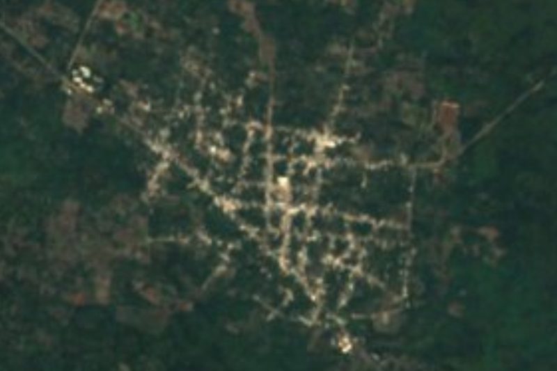
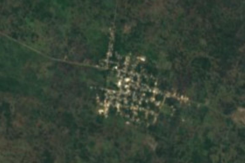

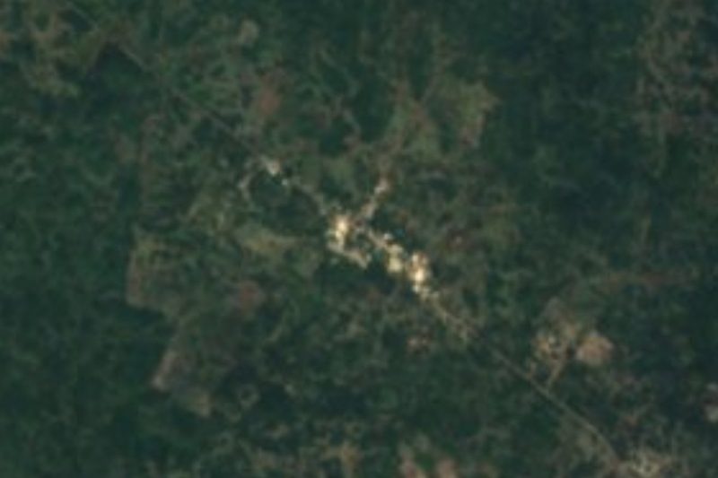

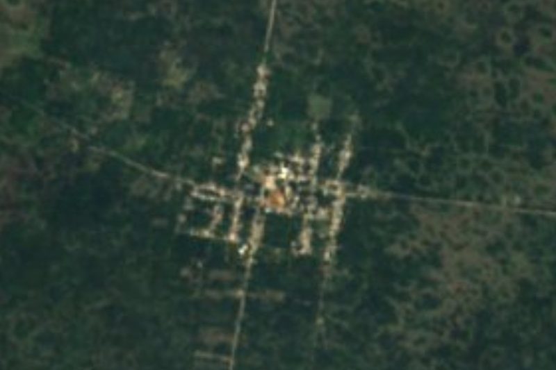


Drive times by road from OpenStreetMap, without traffic. Times marked ~ are estimated from the straight-line distance.
Lists with Oxkintok
Ruins in Yucatán · 14 Ruins near Mérida · 6Location from OpenStreetMap. Written by Puebloteca.