

Village Mérida, Yucatán Municipality of Mérida Mérida and around
A tiny village north of Mérida, near Komchén and Sierra Papacal, whose restored henequen hacienda is now a garden venue for weddings.
From Mérida: 30 min by car (24 km by road) How to get there ↓
Near here
See everything nearby ↓


Plan your visit to Suytunchén
Where to stay near Suytunchén
Compare hotels, posadas and guest houses in Suytunchén.
Tours to Suytunchén
Day trips and guided outings from Sisal often include Suytunchén; with a local guide you can get there without a car.
 Tours from Merida
From Merida: Chichen Itza Tour, Izamal, Cenote Ik Kil and Food
★ 4.9 (578) · From US$74
How to get to Suytunchén
- From Mérida: about 30 min by road (~24 km)
- Nearest airport: Mérida (MID), 1 h 7 min by car to Sisal
Links open a partner site. We may earn a commission if you book, at no cost to you.
Tours from Merida, near Suytunchén


Tours, prices and ratings from Viator, checked weekly. We may earn a commission if you book.
About Suytunchén
Suytunchén is a subcomisaría of Mérida municipality about 26 km north of the city centre, west of the Mérida–Progreso highway (Federal Highway 261), between Komchén and Sierra Papacal. Its Maya name means 'stone well', from suytun, a large rock, and chen, a well. It is a very small place: 150 people lived here at the 2020 census, about the same as the 130 counted in 1900.
The village grew around a henequen hacienda with a long chain of owners. It was first an annex of Kikteil belonging to the parish of Santa Ana in Mérida; by 1860 it was the property of Manuel José Peón y Maldonado, and in 1897 it passed to Joaquín Peón y Peón, later to Arturo Peón Aznar and then to Augusto Iturralde, before Luis de Yturbe Redo acquired it in 1982. After the agrarian reform of 1937 the fields became ejido land while the hacienda buildings remained private. The main house has since been restored and altered by its owners.
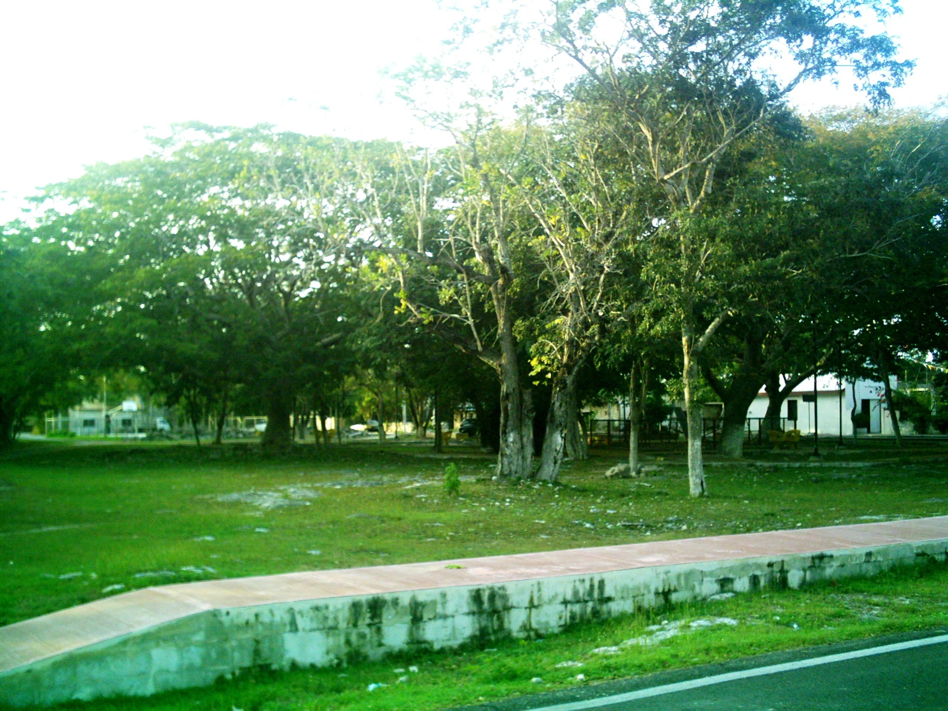
Today the hacienda is known for its gardens with large old trees and is rented out for weddings and other social and business events; it is not a museum, and access depends on there being an event. The village itself is a few streets around a shady main park. Suytunchén also has a fish farm raising tilapia. It combines well with Kikteil and Dzidzilché, two other former hacienda villages a few kilometres to the north-east, and with Sierra Papacal just to the west.
How to get to Suytunchén
Drive from Mérida: 30 min, 24 km
From Mérida take the highway to Progreso (Federal 261) north. At the height of Komchén turn off into the village and follow the signs to the hacienda, on the road towards Sierra Papacal. The village lies about 26 km from Mérida's centre.
Directions to Suytunchén on Google Maps
Distances are in a straight line; the road is usually longer.
Links open a partner site. We may earn a commission if you book, at no cost to you.
From the nearest cities to Suytunchén
- Mérida · 24 km by road, 30 min
- Campeche · 188 km by road, 2 h 25 min
- Valladolid · 188 km by road, 2 h 30 min
Drive times by road from OpenStreetMap, without traffic or stops. Times marked ~ are estimated from the straight-line distance.
Visiting Suytunchén: what to see and do
Walk around the main park, shaded by big old trees.
See the gates of the restored Hacienda Suytunchén, now an event venue.
Continue north-east to the hacienda villages of Kikteil and Dzidzilché.
Visit nearby Sierra Papacal, just to the west.
Plan your trip
Places to stay in Suytunchén
Compare hotels, posadas, and rentals in and around Suytunchén.
Tours & activities
Day trips and guided outings from Sisal often include Suytunchén; with a local guide you can get there without a car.
Rental cars
Pick up a car at MID (Mérida): about 1 h 7 min by road to Sisal, then 32 km more to Suytunchén, on your own schedule.
Flights
The nearest airport with scheduled flights is Mérida (MID), about 1 h 7 min by road from Sisal, the base for Suytunchén.
Mobile data
Signal can drop away from Sisal: download a map of the way to Suytunchén before you set out, or carry an eSIM with data.
Links open a partner site. We may earn a commission if you book, at no cost to you.
Photos
When to go to Suytunchén warm
Suytunchén shares the climate of Sisal, 32 km away. The best months to visit are January, February, November, and December.
See the month-by-month climate of Sisal
Weather in Suytunchén now and the next 7 days
Live forecast from Open-Meteo. Chance of rain is the day's highest.
The closest Pueblo Mágico: Sisal

Sisal is the Pueblo Mágico closest to Suytunchén, with places to stay, food, and more to see.
Also close to
Closest to Suytunchén
-
Sierra Papacal · Village · 2 km away
-
Cosgaya · Village · 3 km away
-
Noc Ac · Village · 3 km away
-
Cheumán · Village · 5 km away
-
Kikteil · Village · 5 km away
-
Dzidzilché · Village · 7 km away
-
Komchén · Village · 7 km away
-
San Antonio Hool · Village · 7 km away


Near Suytunchén


Drive times by road from OpenStreetMap, without traffic. Times marked ~ are estimated from the straight-line distance.
Location from OpenStreetMap. Written by Puebloteca.