

Village Mérida, Yucatán Municipality of Mérida Mérida and around
A village in Mérida's far north, home to the Yucatán Science and Technology Park, with a cenote and small Maya ruins on the road toward the coast.
From Mérida: 30 min by car (25 km by road) How to get there ↓
Near here
See everything nearby ↓


Plan your visit to Sierra Papacal
Where to stay near Sierra Papacal
Compare hotels, posadas and guest houses in Sierra Papacal.
Tours to Sierra Papacal
Day trips and guided outings from Sisal often include Sierra Papacal; with a local guide you can get there without a car.
 Tours from Progreso
Learn Paddle Board and Explore the Mangroves of Progreso
★ 5.0 (356) · From US$80
How to get to Sierra Papacal
- From Mérida: about 30 min by road (~25 km)
- Nearest airport: Mérida (MID), 1 h 7 min by car to Sisal
Links open a partner site. We may earn a commission if you book, at no cost to you.
Tours from Progreso, near Sierra Papacal


Tours, prices and ratings from Viator, checked weekly. We may earn a commission if you book.
About Sierra Papacal
Sierra Papacal is a comisaría of Mérida municipality about 32 km north of the city centre, west of the highway from Mérida to Progreso, on the road that continues toward Xtul and the beach village of Chuburná Puerto. It borders Kikteil to the east and Suytunchén to the south. The village had 1,556 inhabitants in the 2020 census; in 1900 it had 178. The name mixes two languages: in Maya, papacal is read as "mud of the magpies", from pap, a brown jay-like bird of Yucatán, and akal, sticky mud; Sierra honours the 19th-century Yucatecan writer and politician Justo Sierra O'Reilly.
The village is best known today for the Parque Científico y Tecnológico de Yucatán, a research campus of more than 200 hectares created in 2008 and inaugurated in December 2015. Research centres and universities work there, among them the CICY, CINVESTAV, ECOSUR, CIMAT, CIESAS and units of the UNAM, mainly in biotechnology, environmental technology and information technology. The park includes a botanical garden, a germplasm bank and a core library that stores geological samples.
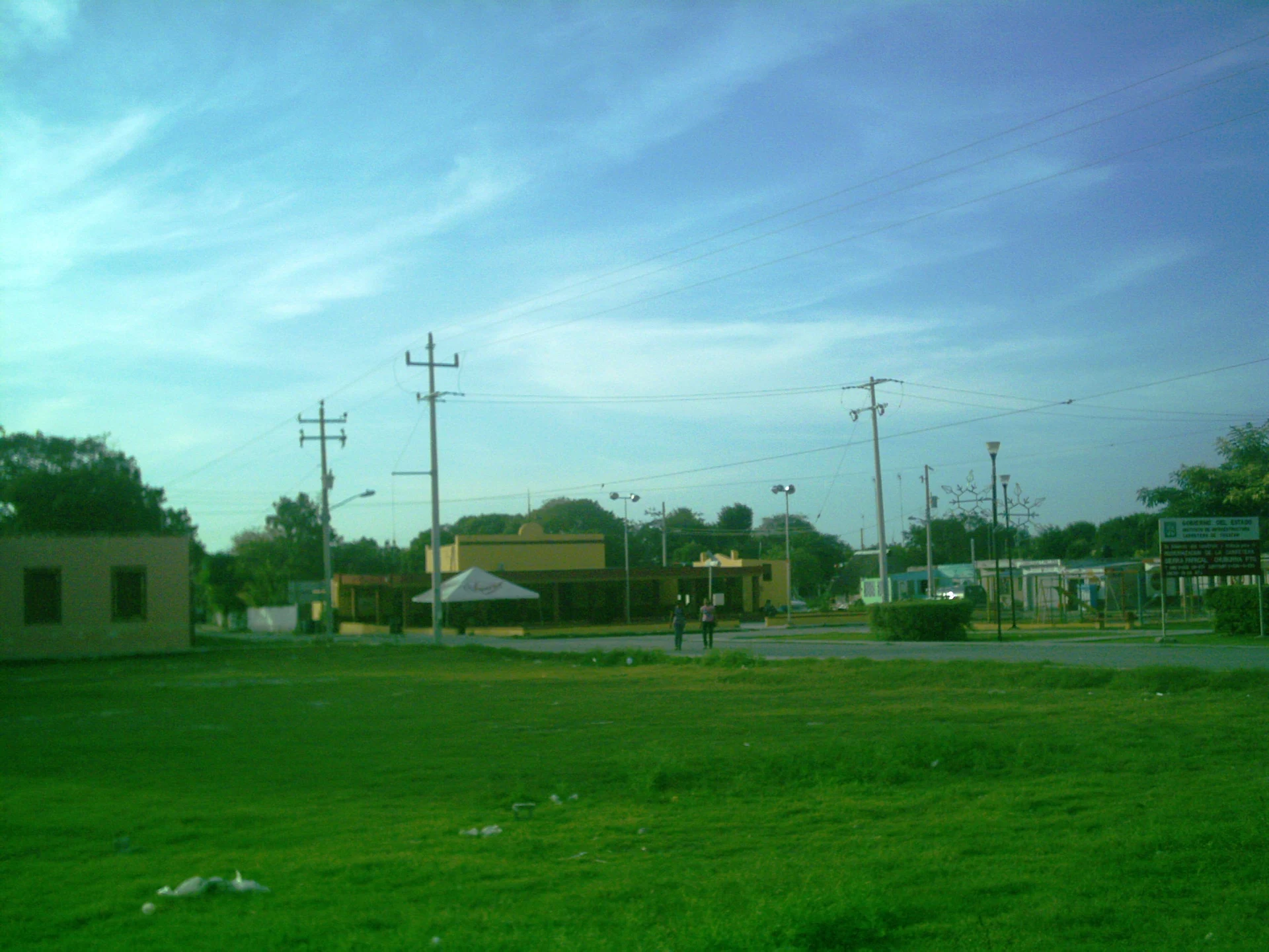
The old village is small and quiet, built around a broad main square with a Catholic church, the casa comisarial and a baseball and football field. South of the village there is a cenote, a rocky opening in the limestone. To the west, along the road to Xtul and Chuburná Puerto, archaeologists have recorded minor Maya sites, and low stone walls and platforms can be seen in the scrub beside the road, together with remains of ranches abandoned in the 19th and 20th centuries.
How to get to Sierra Papacal
Drive from Mérida: 30 min, 25 km
From Mérida, drive north on the highway to Progreso (Federal 261) and turn west toward Sierra Papacal; the village is about 32 km from the city centre, roughly 35–40 minutes by car. The same road continues northwest to Chuburná Puerto on the coast.
Directions to Sierra Papacal on Google Maps
Distances are in a straight line; the road is usually longer.
Links open a partner site. We may earn a commission if you book, at no cost to you.
From the nearest cities to Sierra Papacal
- Mérida · 25 km by road, 30 min
- Campeche · 190 km by road, 2 h 25 min
- Valladolid · 190 km by road, 2 h 30 min
Drive times by road from OpenStreetMap, without traffic or stops. Times marked ~ are estimated from the straight-line distance.
Visiting Sierra Papacal: what to see and do
Walk around the broad main square with its church and casa comisarial.
See the cenote on the southern edge of the village.
Look for the low Maya stone walls and platforms along the road toward Xtul.
Pass by the Yucatán Science and Technology Park, Mérida's big research campus.
Continue to the beach at Chuburná Puerto on the same road.
Plan your trip
Places to stay in Sierra Papacal
Compare hotels, posadas, and rentals in and around Sierra Papacal.
Tours & activities
Day trips and guided outings from Sisal often include Sierra Papacal; with a local guide you can get there without a car.
Rental cars
Pick up a car at MID (Mérida): about 1 h 7 min by road to Sisal, then 32 km more to Sierra Papacal, on your own schedule.
Flights
The nearest airport with scheduled flights is Mérida (MID), about 1 h 7 min by road from Sisal, the base for Sierra Papacal.
Mobile data
Signal can drop away from Sisal: download a map of the way to Sierra Papacal before you set out, or carry an eSIM with data.
Links open a partner site. We may earn a commission if you book, at no cost to you.
Photos
When to go to Sierra Papacal warm
Sierra Papacal shares the climate of Sisal, 32 km away. The best months to visit are January, February, November, and December.
See the month-by-month climate of Sisal
Weather in Sierra Papacal now and the next 7 days
Live forecast from Open-Meteo. Chance of rain is the day's highest.
The closest Pueblo Mágico: Sisal

Sisal is the Pueblo Mágico closest to Sierra Papacal, with places to stay, food, and more to see.
Also close to
Closest to Sierra Papacal
-
Suytunchén · Village · 2 km away
-
Cosgaya · Village · 4 km away
-
Kikteil · Village · 4 km away
-
Dzidzilché · Village · 5 km away
-
Noc Ac · Village · 5 km away
-
Cheumán · Village · 7 km away
-
Komchén · Village · 7 km away
-
San Antonio Hool · Village · 9 km away


Near Sierra Papacal


Drive times by road from OpenStreetMap, without traffic. Times marked ~ are estimated from the straight-line distance.
Location from OpenStreetMap. Written by Puebloteca.