
City Naucalpan de Juárez, Estado de México Valley of Mexico
A high-rise, industrial city on Mexico City's northwest edge, home to the Torres de Satélite, the Remedios sanctuary and a 50-arch colonial aqueduct.
From Mexico City: 20 min by car (15 km by road) How to get there ↓
Near here
See everything nearby ↓


Plan your visit to Naucalpan de Juárez
Where to stay near Naucalpan de Juárez
Compare hotels, posadas and guest houses in Naucalpan de Juárez.
Tours to Naucalpan de Juárez
Day trips and guided outings from Tepotzotlán often include Naucalpan de Juárez; with a local guide you can get there without a car.
 Tours from Mexico City
Teotihuacan pyramids morning or afternoon without tourist traps
★ 4.9 (10,269) · From US$59
How to get to Naucalpan de Juárez
- From Mexico City: about 20 min by road (~15 km)
- Nearest airport: Mexico City (Felipe Ángeles) (NLU), 48 min by car to Tepotzotlán
Links open a partner site. We may earn a commission if you book, at no cost to you.
Tours from Mexico City, near Naucalpan de Juárez


Tours, prices and ratings from Viator, checked weekly. We may earn a commission if you book.
About Naucalpan de Juárez
Naucalpan de Juárez, formerly San Bartolo Naucalpan, is the seat of the municipality of the same name and the third most populous city in the State of Mexico after Ecatepec and Nezahualcóyotl, with 776,220 people in the 2020 INEGI census. It abuts Mexico City's northwest edge at about 2,280 m and belongs to the Valley of Mexico metropolitan area. The name comes from Nahuatl Nauhcalpan, "place above four houses". Nobody comes for a postcard-pretty historic centre; they come for a handful of distinct things.
The best known are the Torres de Satélite, five triangular prisms between 30 and 52 m tall that rise beside the Periférico and the Mexico-Querétaro highway. Sculptor Mathias Goeritz and architect Luis Barragán designed them with the painter Jesús "Chucho" Reyes Ferreira, and they opened in March 1958 as the gateway to the brand-new Ciudad Satélite. Goeritz wanted them all in shades of orange, but builders and developers talked him into orange, blue, white and yellow.
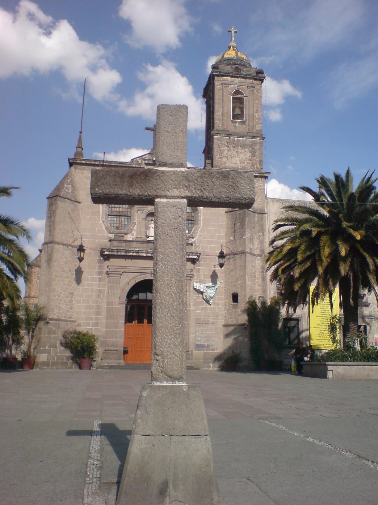
To the west, inside Los Remedios National Park, stands the 16th-century sanctuary of Nuestra Señora de los Remedios, which keeps an image tradition says Hernán Cortés brought; the Virgin's confraternity goes back to about 1575. Close by, the Acueducto de los Remedios, known as Los Arcos, runs 50 stone arches over 500 m, up to 16 m high, built in the second half of the 17th century. The park covers about 900 hectares around Cerro Moctezuma and is where locals jog and walk.
The municipality also holds the El Conde archaeological zone, a Preclassic site of the Tlatilica people, and Parque Quetzalcóatl, a sculpture garden by Javier Senosiain that can only be visited by appointment.
How to get to Naucalpan de Juárez
Drive from Mexico City: 20 min, 15 km
By Metro, Line 2 (blue) runs to Cuatro Caminos, a big transfer hub (CETRAM) where buses and Mexibús routes fan out across most of Naucalpan; it is the cheapest, fastest way, though reaching a given neighbourhood usually takes two modes of transport. The nearest intercity bus terminal is Terminal Poniente (Observatorio). By car the main artery is the Anillo Periférico (Blvd. Manuel Ávila Camacho), which turns into a crawl from the rest of the city; from Toluca take the Toluca-Naucalpan toll road (134D), and from Querétaro the Chamapa-Lechería toll road (57D). Traffic is among the worst in the metro area. The city is about 12 km in a straight line from central Mexico City and about 26 km from Tepotzotlán; actual travel time depends heavily on the hour.
Directions to Naucalpan de Juárez on Google Maps
Distances are in a straight line; the road is usually longer.
Links open a partner site. We may earn a commission if you book, at no cost to you.
From the nearest cities to Naucalpan de Juárez
- Mexico City · 15 km by road, 20 min
- Toluca · 59 km by road, 55 min
- Cuernavaca · 90 km by road, 1 h 25 min
Drive times by road from OpenStreetMap, without traffic or stops. Times marked ~ are estimated from the straight-line distance.
Before you go to Naucalpan de Juárez: hours, prices and tips
- Hours
- Los Remedios National Park is open daily from 5 am to 6 pm. The El Conde archaeological zone is listed as Tuesday to Sunday, 9 am to 5 pm, but staff are said to turn up irregularly, so confirm before a special trip. Wikivoyage · checked Oct 2026
- Entry
- Parque Quetzalcóatl charges 1,300 pesos for Mexicans and 1,600 for foreign visitors and requires a reservation (visits 10:00-12:30). Wikivoyage · checked Oct 2026
Hours and prices change, especially around holidays. Each fact links to where we checked it.
Visiting Naucalpan de Juárez: what to see and do
The Torres de Satélite, five coloured prisms by Goeritz and Barragán beside the Periférico.
The basilica and sanctuary of Nuestra Señora de los Remedios, inside Los Remedios National Park.
The Acueducto de los Remedios (Los Arcos): 50 stone arches, 500 m long.
Walk or jog the trails of Los Remedios National Park around Cerro Moctezuma.
The El Conde archaeological zone, with Preclassic platforms and temples of the Tlatilica people.
Javier Senosiain's Parque Quetzalcóatl, a sculpture garden in a ravine (by appointment only).
The parish of San Miguel Arcángel in Tecamachalco, a 16th-century church with gardens.
Plan your trip
Places to stay in Naucalpan de Juárez
Compare hotels, posadas, and rentals in and around Naucalpan de Juárez.
Tours & activities
Day trips and guided outings from Tepotzotlán often include Naucalpan de Juárez; with a local guide you can get there without a car.
Rental cars
Pick up a car at NLU (Mexico City (Felipe Ángeles)): about 48 min by road to Tepotzotlán, then 26 km more to Naucalpan de Juárez, on your own schedule.
Flights
The nearest airport with scheduled flights is Mexico City (Felipe Ángeles) (NLU), about 48 min by road from Tepotzotlán, the base for Naucalpan de Juárez.
Mobile data
Signal can drop away from Tepotzotlán: download a map of the way to Naucalpan de Juárez before you set out, or carry an eSIM with data.
Links open a partner site. We may earn a commission if you book, at no cost to you.
When to go to Naucalpan de Juárez cool
Naucalpan de Juárez shares the climate of Tepotzotlán, 26 km away. The best months to visit are January, February, March, and December.
See the month-by-month climate of Tepotzotlán
Weather in Naucalpan de Juárez now and the next 7 days
Live forecast from Open-Meteo. Chance of rain is the day's highest.
The closest Pueblo Mágico: Tepotzotlán

Tepotzotlán is the Pueblo Mágico closest to Naucalpan de Juárez, with places to stay, food, and more to see.
Also close to
- Villa del Carbón · Estado de México · 37 km away
- Metepec · Estado de México · 46 km away
- Teotihuacán · Estado de México · 47 km away
- Otumba · Estado de México · 56 km away
- Tepoztlán · Morelos · 57 km away
Closest to Naucalpan de Juárez
-
Tlatilco · Archaeological site · 2 km away
-
Museo Soumaya · Landmark · 5 km away
-
Polanco · Landmark · 6 km away
-
Bosque de Chapultepec · Nature reserve · 8 km away
-
Casa del Lago Juan José Arreola · Landmark · 8 km away
-
Castillo de Chapultepec · Landmark · 8 km away
-
Museo Nacional de Antropología · Landmark · 8 km away
-
Tlalnepantla · City · 8 km away


Near Naucalpan de Juárez




Drive times by road from OpenStreetMap, without traffic. Times marked ~ are estimated from the straight-line distance.
Location from OpenStreetMap. Written by Puebloteca.