

Village Valle de Santiago, Guanajuato Municipality of Valle de Santiago The Bajío
A maar crater of the Siete Luminarias southwest of Valle de Santiago, with salty water and rock paintings; the last stretch is dirt road.
From Valle de Santiago: 5 min by car (5 km by road) How to get there ↓
Near here
See everything nearby ↓


Plan your visit to Hoya de Cíntora
Where to stay near Hoya de Cíntora
Compare hotels, posadas and guest houses in Hoya de Cíntora.
Tours to Hoya de Cíntora
Day trips and guided outings from Yuriria often include Hoya de Cíntora; with a local guide you can get there without a car.
 Tours from Guanajuato City
Private walking tour in Guanajuato (available from 1 person)
★ 4.9 (374) · From US$53
How to get to Hoya de Cíntora
- From Valle de Santiago: about 5 min by road (~5 km)
- Nearest airport: Morelia (MLM), 49 min by car to Yuriria
Links open a partner site. We may earn a commission if you book, at no cost to you.
Tours from Guanajuato City, near Hoya de Cíntora


Tours, prices and ratings from Viator, checked weekly. We may earn a commission if you book.
About Hoya de Cíntora
La Hoya de Cíntora is a maar: a broad, flat-floored crater formed when rising magma met groundwater and blew a hole in the surface without building a lava cone. It belongs to the crater field around Valle de Santiago known as the Siete Luminarias, and shares the protection the state gave the whole volcanic region as a natural monument on 21 November 1997.
In Purépecha the crater is called Andaracua. Locals map their seven hoyas onto the Big Dipper, and this one gets the star Alioth, the first in the handle. People in Valle say the salty water at the bottom has healing properties. The walls and surroundings hold black-and-white rock paintings and traces of yácatas or Purépecha burials, and the hill of La Batea, another volcano, shows up on the way in.
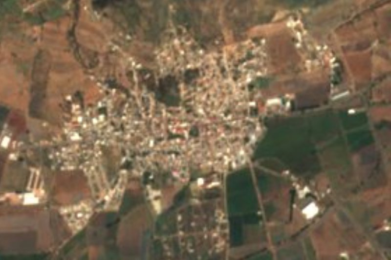
The village named after the crater grew from 130 people in 1910 to 1,414 in the 2020 census. The municipal list splits it into two localities, La Hoya de Arriba and La Hoya de Abajo, so look for both on a map. Most visitors pair it with the other hoyas and eat in Valle de Santiago.
How to get to Hoya de Cíntora
Drive from Valle de Santiago: 5 min, 5 km
From Valle de Santiago it is about 5 km southwest and roughly 20 minutes by car. Leave on federal highway 43 toward Morelia and take the dirt turn-off to the crater; at the edge of the village a dirt track drops to the crater floor, where a few houses stand. A 2011 account says the direct entrance was padlocked, so the writers went around through the community of Las Crucitas on about 5 km of bad road, and found no sign at the junction. Ask in the village which access is open, and avoid the rainy season in a low car.
No bus or combi reaches the hoya. The practical way is a bus to Valle de Santiago and then a taxi (there is a taxi rank in front of the terminal). The Central de Autobuses de Valle de Santiago is on Manuel Doblado s/n, between Libertad and Mena, served by Primera Plus and Flecha Amarilla with departures to León, Salamanca, Celaya, Irapuato and Mexico City's Terminal Norte. From Mexico City it is about 4.5 hours by car (the Mexico-Querétaro toll road, then the 45D to Celaya and Salamanca) or 4 to 5 hours by bus to Salamanca. Yuriria is roughly 19 km away and Salamanca about 23 km.
Directions to Hoya de Cíntora on Google Maps
Distances are in a straight line; the road is usually longer.
Links open a partner site. We may earn a commission if you book, at no cost to you.
From the nearest cities to Hoya de Cíntora
- Valle de Santiago · 5 km by road, 5 min
- Salamanca · 27 km by road, 30 min
- Uriangato · 34 km by road, 35 min
Drive times by road from OpenStreetMap, without traffic or stops. Times marked ~ are estimated from the straight-line distance.
Before you go to Hoya de Cíntora: hours, prices and tips
- Rules
- Access to the crater has changed over the years (in 2011 the direct road was padlocked); check in the village which way down is open before you go. Estela de Cometa (relato de viaje) · checked Oct 2026
Hours and prices change, especially around holidays. Each fact links to where we checked it.
Visiting Hoya de Cíntora: what to see and do
The flat-floored crater of Hoya de Cíntora and its salty water.
The black-and-white rock paintings on the crater walls.
The hill of La Batea, a volcano you pass before dropping into the hoya.
Rincón de Parangueo, a nearby hoya entered through a tunnel of about 500 metres.
Hoya de Álvarez, the largest crater of the group, with a farmed floor and a few houses.
Plan your trip
Places to stay in Hoya de Cíntora
Compare hotels, posadas, and rentals in and around Hoya de Cíntora.
Tours & activities
Day trips and guided outings from Yuriria often include Hoya de Cíntora; with a local guide you can get there without a car.
Rental cars
Pick up a car at MLM (Morelia): about 49 min by road to Yuriria, then 19 km more to Hoya de Cíntora, on your own schedule.
Flights
The nearest airport with scheduled flights is Morelia (MLM), about 49 min by road from Yuriria, the base for Hoya de Cíntora.
Mobile data
Signal can drop away from Yuriria: download a map of the way to Hoya de Cíntora before you set out, or carry an eSIM with data.
Links open a partner site. We may earn a commission if you book, at no cost to you.
When to go to Hoya de Cíntora mild
Hoya de Cíntora shares the climate of Yuriria, 19 km away. The best months to visit are January, March, April, and December.
See the month-by-month climate of Yuriria
Weather in Hoya de Cíntora now and the next 7 days
Live forecast from Open-Meteo. Chance of rain is the day's highest.
The closest Pueblo Mágico: Yuriria

Yuriria is the Pueblo Mágico closest to Hoya de Cíntora, with places to stay, food, and more to see.
Also close to
- Salvatierra · Guanajuato · 38 km away
- Cuitzeo · Michoacán · 45 km away
- Comonfort · Guanajuato · 61 km away
Closest to Hoya de Cíntora
-
Hoya La Alberca · Nature reserve · 3 km away
-
Cráter Rincón de Parangueo · Nature reserve · 8 km away
-
Jaral del Progreso · Town · 15 km away
-
Laguna de Yuriria · Lake · 15 km away
-
Lago-Cráter La Joya · Nature reserve · 21 km away
-
Salamanca · City · 23 km away
-
Cerro del Culiacán · Mountain · 25 km away
-
San Pablo Casacuarán · Village · 25 km away


Near Hoya de Cíntora



Drive times by road from OpenStreetMap, without traffic. Times marked ~ are estimated from the straight-line distance.
Location from OpenStreetMap. Written by Puebloteca.