City Irapuato, Guanajuato Municipality of Irapuato
Guanajuato's strawberry city and its second largest: baroque churches, Maximilian's Florentine fountain and a Strawberry Fair every March.
From Salamanca: 20 min by car (23 km by road) How to get there ↓
Near here
See everything nearby ↓


Plan your visit to Irapuato
Where to stay near Irapuato
Compare hotels, posadas and guest houses in Irapuato.
Tours to Irapuato
Day trips and guided outings from Yuriria often include Irapuato; with a local guide you can get there without a car.
 Tours from Guanajuato City
Private walking tour in Guanajuato (available from 1 person)
★ 4.9 (374) · From US$53
How to get to Irapuato
- From Salamanca: about 20 min by road (~23 km)
- Nearest airport: Morelia (MLM), 49 min by car to Yuriria
Links open a partner site. We may earn a commission if you book, at no cost to you.
Tours from Guanajuato City, near Irapuato


Tours, prices and ratings from Viator, checked weekly. We may earn a commission if you book.
About Irapuato
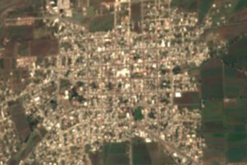
Irapuato is the second-largest city in Guanajuato, with 452,090 people at the 2020 census, spread across the middle of the Bajío at the foot of Cerro de Arandas between the Silao and Guanajuato rivers. Downtown streets follow a tangled 'broken plate' layout that opens out into modern boulevards. The city's nickname comes from its fields: strawberries have been grown here since 1852, when a resident named Nicolás Tejeda brought in two dozen French plants. Once the Central railway arrived, the fruit was shipped to Mexico City, and later freezing and packing plants grew up around the crop.
The city keeps 15 February 1547 as its founding date, when it was the Congregación de San Marcos de Irapuato. Local tradition credits Vasco de Quiroga, the first bishop of Michoacán, with its first church, and the Templo del Hospitalito dates from that period. It was built for a hospital serving Tarascan people and holds a Christ figure modelled in maize paste. In 1810 Miguel Hidalgo passed through on his way to attack Guanajuato and was joined by the Dragones del Príncipe regiment stationed here. Soon after, Agustín de Iturbide ran the Bajío military command from the town. Irapuato became a city in 1893. In 1915 its railway yard was Álvaro Obregón's staging point in the campaign against Pancho Villa. In August 1973 three dams upstream on the Silao River burst and flooded the city, knocking down hundreds of houses. The La Purísima and El Conejo dams now hold back the floodwater.
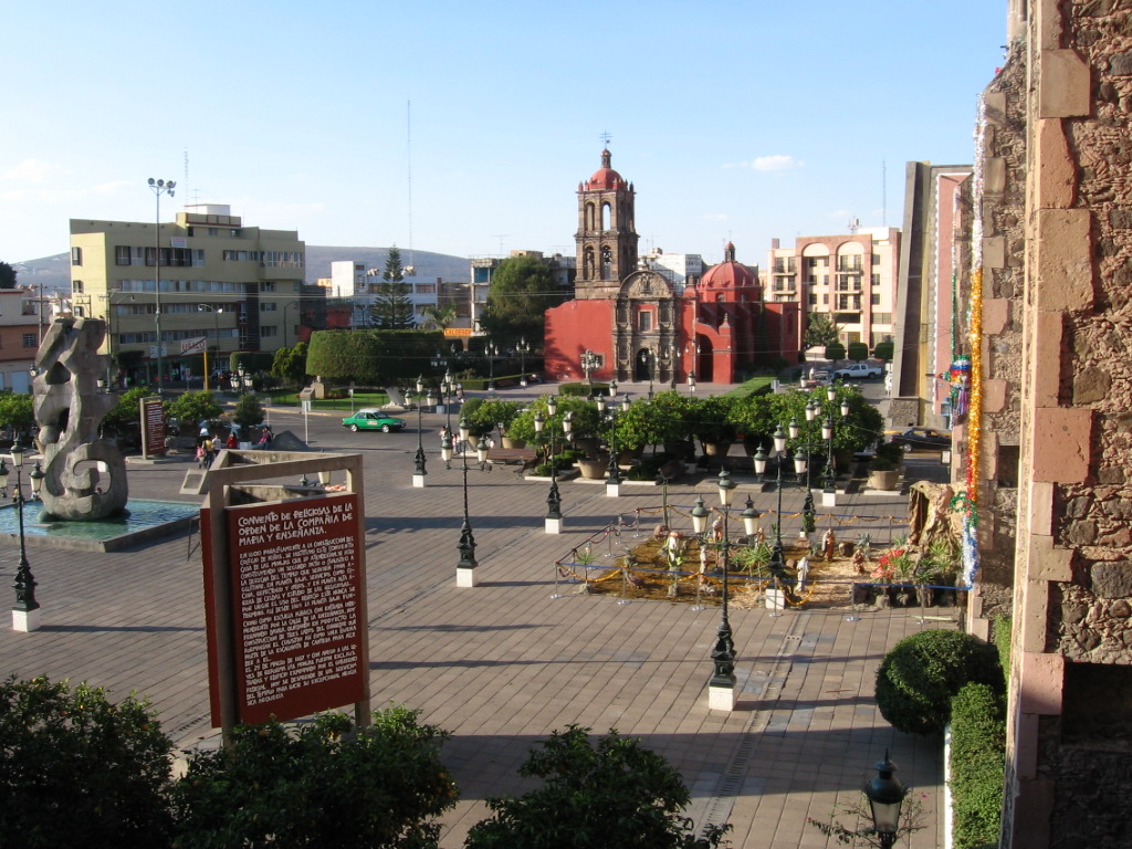
Today the economy runs on agribusiness, car and chemical plants and services, and the city hosts the yearly Expo Agroalimentaria farm show. For visitors the draw is a walkable centre: the Plaza de los Fundadores, the cathedral of the Limpia Concepción facing the dancing-water fountain, the Dolphin Fountain that Emperor Maximilian donated in 1864, and churches such as San Francisco, with paintings attributed to Tresguerras. The Strawberry Fair in March draws hundreds of thousands of people, and on 5 January a parade of floats for the Three Kings crosses town. Strawberries and cream are sold all over the city.
How to get to Irapuato
Drive from Salamanca: 20 min, 23 km
Irapuato is a road hub: Highway 45 (and the 45D toll road) links it east to Salamanca and Celaya and west to Silao and León, Highway 90 heads for Guadalajara, and Highway 43 runs south through Salamanca to Morelia. Guanajuato city is about 48 km by road, roughly 45 minutes' drive; León is about 70 km, a little over 50 minutes. Yuriria, the nearest Pueblo Mágico, is about an hour south via Salamanca and Valle de Santiago.
The Central de Autobuses de Irapuato is served by Primera Plus, ETN, Futura, Coordinados, Ómnibus de México, Élite, Flecha Amarilla and the state line Unebus, among others. From Mexico City's Terminal del Norte, ETN and Primera Plus leave about hourly (around 4 h 30 min); from Querétaro, Primera Plus takes about 1 h 40 min. Unebus runs to Guanajuato city every half hour (about an hour), with a few direct Futura and ETN buses; Futura and Flecha Amarilla go hourly to León (1 h 25 to 1 h 40 min). Bajío International Airport (BJX) is about 25 minutes away. In town, use a taxi or ride-hailing app; city buses run roughly 06:00-22:00.
Directions to Irapuato on Google Maps
Distances are in a straight line; the road is usually longer.
Links open a partner site. We may earn a commission if you book, at no cost to you.
From the nearest cities to Irapuato
- Salamanca · 23 km by road, 20 min
- Silao · 38 km by road, 35 min
- Valle de Santiago · 42 km by road, 40 min
Drive times by road from OpenStreetMap, without traffic or stops. Times marked ~ are estimated from the straight-line distance.
Before you go to Irapuato: hours, prices and tips
- Hours
- Museo de la Ciudad Salvador Almaraz: Tuesday to Sunday 10:00-18:00, closed Monday. Wikivoyage · checked Oct 2026
- Entry
- Museo de la Ciudad Salvador Almaraz: free entry. Wikivoyage · checked Oct 2026
- Best season
- Three Kings parade on 5 January; founding day 15 February; Strawberry Fair in March; feast of the Virgen de la Soledad, the city's patron, on 30 April; Irapuato Jazz Festival 17-21 November; neighbourhood fiestas for the Virgin of Guadalupe all December. Wikivoyage · checked Oct 2026
Hours and prices change, especially around holidays. Each fact links to where we checked it.
Visiting Irapuato: what to see and do
Walk the Plaza de los Fundadores and the 16th-century Templo del Hospitalito.
Visit the cathedral of the Limpia Concepción and the dancing-water fountain on the main plaza.
Find the Dolphin Fountain, one of three Florentine fountains Emperor Maximilian donated in 1864.
See the Santuario de la Virgen de la Soledad (1774) and the Templo de San Francisco, begun in 1766.
Spend a morning at the Museo de la Ciudad Salvador Almaraz, with pre-Hispanic pieces and rooms on Independence and the Revolution.
Catch the Strawberry Fair in March or the Three Kings parade on 5 January.
Have breakfast at the Mercado Benito Juárez and try strawberries and cream.
Plan your trip
Places to stay in Irapuato
Compare hotels, posadas, and rentals in and around Irapuato.
Tours & activities
Day trips and guided outings from Yuriria often include Irapuato; with a local guide you can get there without a car.
Rental cars
Pick up a car at MLM (Morelia): about 49 min by road to Yuriria, then 57 km more to Irapuato, on your own schedule.
Flights
The nearest airport with scheduled flights is Morelia (MLM), about 49 min by road from Yuriria, the base for Irapuato.
Mobile data
Signal can drop away from Yuriria: download a map of the way to Irapuato before you set out, or carry an eSIM with data.
Links open a partner site. We may earn a commission if you book, at no cost to you.
When to go to Irapuato mild
Irapuato shares the climate of Yuriria, 57 km away. The best months to visit are January, March, April, and December.
See the month-by-month climate of Yuriria
Weather in Irapuato now and the next 7 days
Live forecast from Open-Meteo. Chance of rain is the day's highest.
The closest Pueblo Mágico: Yuriria

Yuriria is the Pueblo Mágico closest to Irapuato, with places to stay, food, and more to see.
Also close to
- Comonfort · Guanajuato · 62 km away
- Jalpa de Cánovas · Guanajuato · 69 km away
- Dolores Hidalgo · Guanajuato · 69 km away
- Salvatierra · Guanajuato · 71 km away
Closest to Irapuato
-
Ex-Hacienda del Copal · Village · 7 km away
-
San Antonio el Rico · Village · 17 km away
-
Salamanca · City · 20 km away
-
Zona Arqueológica de Peralta · Archaeological site · 24 km away
-
Cráter Rincón de Parangueo · Nature reserve · 29 km away
-
Abasolo · Town · 31 km away
-
Corralejo de Hidalgo · Village · 34 km away
-
Cuerámaro · Town · 34 km away

Near Irapuato



Drive times by road from OpenStreetMap, without traffic. Times marked ~ are estimated from the straight-line distance.
Location from OpenStreetMap. Written by Puebloteca.