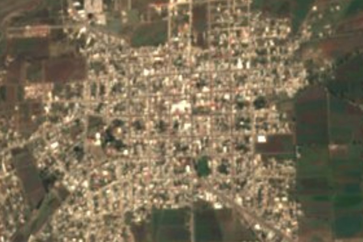
Town Cuerámaro, Guanajuato
A town that grew out of a hacienda granted in 1543 and run by Camillian friars, with century-old ahuehuete trees downtown and hot springs in the nearby hills.
From Irapuato: 50 min by car (44 km by road) How to get there ↓
Near here
See everything nearby ↓


Plan your visit to Cuerámaro
Where to stay near Cuerámaro
Compare hotels, posadas and guest houses in Cuerámaro.
Tours to Cuerámaro
Day trips around Jalpa de Cánovas sometimes stop in Cuerámaro; a tour is the easy way to see it without a car.
 Tours from Guanajuato City
Private walking tour in Guanajuato (available from 1 person)
★ 4.9 (374) · From US$53
How to get to Cuerámaro
- From Irapuato: about 50 min by road (~44 km)
- Nearest airport: León (Bajío) (BJX), 1 h 5 min by car to Jalpa de Cánovas
Links open a partner site. We may earn a commission if you book, at no cost to you.
Tours from Guanajuato City, near Cuerámaro


Tours, prices and ratings from Viator, checked weekly. We may earn a commission if you book.
About Cuerámaro
Cuerámaro was born inside a hacienda, and that heritage explains most of it. The original grant dates from 8 January 1543, when Viceroy Antonio de Mendoza gave it to Diego de Orozco, son of Captain Juan de Villaseñor Orozco, who piled up land across what is now Cuerámaro, Pénjamo and Manuel Doblado. In 1762 it was bought by the order of St Camillus de Lellis, the Camillian friars, who held it for almost a century. The Ley Lerdo forced them to sell in 1858; Agapito de Anda subdivided the land and founded the congregation that became the town. A decree of 12 November 1869 made it a municipal seat under the name Cuerámaro de Degollado, and it was raised to city status in 1969.
The name is Purépecha and nobody agrees on what it says: "place of ocote pines", "place of defence" or "sheltered by the marshes". The 1969 coat of arms plays on both the pine and the defence readings and carries the motto "Cuerámaro siempre fiel".
In the centre stand two ahuehuete trees, planted in 1910 for the centenary of the Grito and in 1921 for the consummation of Independence. The town sits on the flat Bajío at about 1,720 metres, but the Pénjamo range starts to the west; on the slopes of Cerro del Fuerte, which reaches 2,500 metres, undeveloped thermal springs rise, mainly near Tupátaro and San Gregorio. The Presa del Aguacate, now inside neighbouring Pénjamo, was built by the hacienda owner in the first half of the 1700s.
With about 15,300 residents (2020 census) the town holds half the municipality's population; the rest live in more than eighty hamlets of under 1,500 people, living off farming.
How to get to Cuerámaro
Drive from Irapuato: 50 min, 44 km
From Irapuato it is about 41 km and roughly 45 minutes by car. By bus, Flecha Amarilla (ConectaGFA, phone 477 710 0060) runs Irapuato to Cuerámaro every 30 minutes daily in about 1 h 15; a ticket costs around 45 to 75 pesos, leaving from the Central de Autobuses de Irapuato and arriving at the Cuerámaro terminal. From Mexico City there is no direct bus: take one to Irapuato from the Terminal Norte and change, about 6 h 30 in all.
Cuerámaro sits on the route linking the Bajío with Arandas and Guadalajara, and Flecha Amarilla has Arandas services leaving from the same terminal. To the north lies Ciudad Manuel Doblado; the nearest Pueblo Mágico, Jalpa de Cánovas, is about 43 km (roughly 50 minutes). The roads are paved; the hot springs in the hills can only be reached on dirt tracks, best with someone who knows the way.
Directions to Cuerámaro on Google Maps
Distances are in a straight line; the road is usually longer.
Links open a partner site. We may earn a commission if you book, at no cost to you.
From the nearest cities to Cuerámaro
- Irapuato · 44 km by road, 50 min
- San Francisco del Rincón · 60 km by road, 1 h 5 min
- Salamanca · 64 km by road, 1 h 5 min
Drive times by road from OpenStreetMap, without traffic or stops. Times marked ~ are estimated from the straight-line distance.
Visiting Cuerámaro: what to see and do
The ahuehuete trees of 1910 and 1921 in the central plaza
The 1969 coat of arms and its motto "Cuerámaro siempre fiel"
Thermal springs on the slopes of Cerro del Fuerte near Tupátaro and San Gregorio (no facilities)
Presa del Aguacate, in neighbouring Pénjamo municipality
Plan your trip
Places to stay in Cuerámaro
Compare hotels, posadas, and rentals in and around Cuerámaro.
Tours & activities
Day trips around Jalpa de Cánovas sometimes stop in Cuerámaro; a tour is the easy way to see it without a car.
Rental cars
Pick up a car at BJX (León (Bajío)): about 1 h 5 min by road to Jalpa de Cánovas, then 43 km more to Cuerámaro, on your own schedule.
Flights
The nearest airport with scheduled flights is León (Bajío) (BJX), about 1 h 5 min by road from Jalpa de Cánovas, the base for Cuerámaro.
Mobile data
Signal can drop away from Jalpa de Cánovas: download a map of the way to Cuerámaro before you set out, or carry an eSIM with data.
Links open a partner site. We may earn a commission if you book, at no cost to you.
When to go to Cuerámaro mild
Cuerámaro shares the climate of Jalpa de Cánovas, 43 km away. The best months to visit are January, February, March, and April.
See the month-by-month climate of Jalpa de Cánovas
Weather in Cuerámaro now and the next 7 days
Live forecast from Open-Meteo. Chance of rain is the day's highest.
The closest Pueblo Mágico: Jalpa de Cánovas

Jalpa de Cánovas is the Pueblo Mágico closest to Cuerámaro, with places to stay, food, and more to see.
Also close to
- Yuriria · Guanajuato · 73 km away
Closest to Cuerámaro
-
Corralejo de Hidalgo · Village · 14 km away
-
Pénjamo · Town · 22 km away
-
Abasolo · Town · 25 km away
-
Zona Arqueológica de Plazuelas · Archaeological site · 30 km away
-
Ciudad Manuel Doblado · Town · 31 km away
-
Zona Arqueológica de Peralta · Archaeological site · 32 km away
-
Huanímaro · Town · 34 km away
-
Irapuato · City · 34 km away

Near Cuerámaro



Drive times by road from OpenStreetMap, without traffic. Times marked ~ are estimated from the straight-line distance.
Location from OpenStreetMap. Written by Puebloteca.