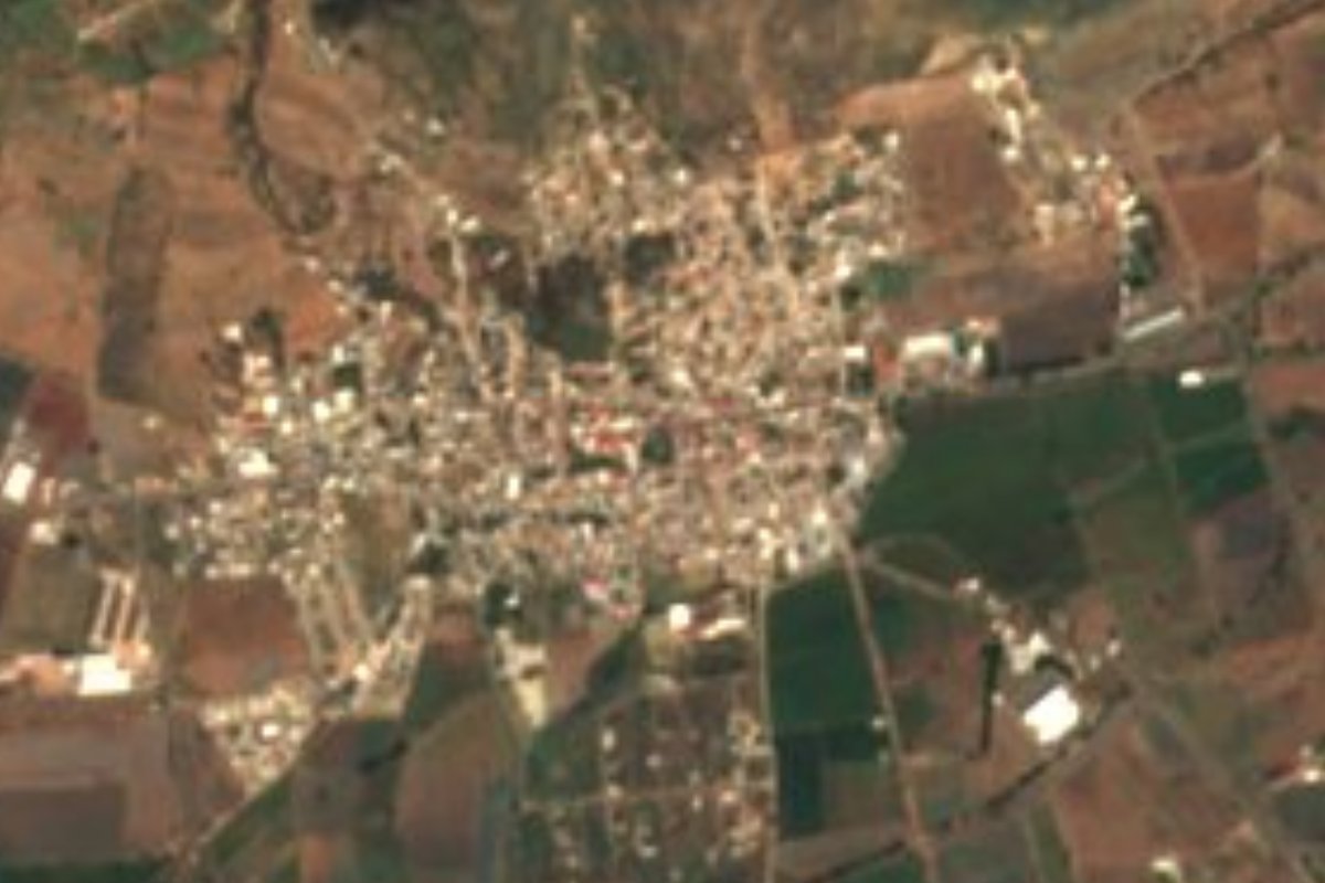
Town Huanímaro, Guanajuato
A small town beside the Lerma river with a pink-quarry-stone plaza, the Santa Regina cave, and a table of pozole, ash tamales and oven-baked birria.
From Valle de Santiago: 40 min by car (35 km by road) How to get there ↓
Near here
See everything nearby ↓


Plan your visit to Huanímaro
Where to stay near Huanímaro
Compare hotels, posadas and guest houses in Huanímaro.
Tours to Huanímaro
Day trips around Yuriria sometimes stop in Huanímaro; a tour is the easy way to see it without a car.
 Tours from Guanajuato City
Private walking tour in Guanajuato (available from 1 person)
★ 4.9 (374) · From US$53
How to get to Huanímaro
- From Valle de Santiago: about 40 min by road (~35 km)
- Nearest airport: Morelia (MLM), 49 min by car to Yuriria
Links open a partner site. We may earn a commission if you book, at no cost to you.
Tours from Guanajuato City, near Huanímaro


Tours, prices and ratings from Viator, checked weekly. We may earn a commission if you book.
About Huanímaro
Huanímaro, a Purépecha name translated as "place where maize is toasted" or "place of barter", stands at 1,715 metres in the southernmost Bajío of Guanajuato, with the Lerma river as the natural border with Michoacán. For a long time it depended on Abasolo; today it has 5,740 residents in the seat and another 27 localities across 130 sq km. The climate is semi-warm, averaging about 22 degrees a year with 781 mm of rain in summer.
The centre revolves around the main garden, with pink-quarry-stone arches, commercial arcades and, above it all, the Cerrito de la Cruz. The church of San Juan Bautista forms a complex with the town's former hacienda and holds its patron fiesta on 24 June; there is a second church to the Virgen de Guadalupe and a Casa de la Cultura with exhibitions through the year. Near the seat is the quarry bank that supplies the carved stone seen on façades, and on top of Cerro del Mono there are archaeological remains.
The best-known outing is the Santa Regina Cave, about 10 minutes from town, in a ravine inside a state nature reserve. It is named for Regina Chacón Jaramillo, daughter of a family from Paso de Cobos; an inscription on the rock was renewed in 1923, until 1971 people went by a narrow track carrying food on donkeys, and on the cliffs to the north a seep drips into a hollow basin in the rock. Its fiesta on 7 September brings a walk and a picnic; the rest of the year families use it for gatherings.
The food is worth a stop: red pozole with pork head, ash and sugar tamales, oven-baked young-corn gorditas, uchepos, oven-roasted goat birria and menudo after Sunday mass. The community of Joroches is known for its wind bands.
How to get to Huanímaro
Drive from Valle de Santiago: 40 min, 35 km
There is no direct bus from Irapuato to Huanímaro. The usual combination is Flecha Amarilla (ConectaGFA, 477 710 0060) from the Central de Autobuses de Irapuato to Abasolo, hourly and taking about 50 minutes, then a taxi from Abasolo to Huanímaro, about 30 minutes; a little over an hour in all. By car it is about 45 km from Irapuato (roughly 41 minutes) via Abasolo.
Yuriria, the nearest Pueblo Mágico, is about 42 km away (roughly 50 minutes), and Valle de Santiago lies to the east. From Mexico City the usual way is the Terminal Norte to Irapuato and a change. The road to the Santa Regina Cave, about 10 minutes from town, is stone and concrete, passable by car or on foot; bring comfortable shoes.
Directions to Huanímaro on Google Maps
Distances are in a straight line; the road is usually longer.
Links open a partner site. We may earn a commission if you book, at no cost to you.
From the nearest cities to Huanímaro
- Valle de Santiago · 35 km by road, 40 min
- Irapuato · 47 km by road, 50 min
- Salamanca · 54 km by road, 1 h
Drive times by road from OpenStreetMap, without traffic or stops. Times marked ~ are estimated from the straight-line distance.
Before you go to Huanímaro: hours, prices and tips
- Best season
- Patron fiesta of San Juan Bautista on 24 June; the Santa Regina Cave fiesta, with a walk to the cave, on 7 September. Revista de los Cronistas de Guanajuato, no. 15 (Huanímaro) / Wikipedia (es) · checked Oct 2026
- What to bring
- Comfortable shoes for the Santa Regina Cave. guanajuato.mx · checked Oct 2026
Hours and prices change, especially around holidays. Each fact links to where we checked it.
Visiting Huanímaro: what to see and do
Main garden with pink-quarry-stone arches and arcades
Church of San Juan Bautista, beside the former hacienda
Cerrito de la Cruz, over the garden
Santa Regina Cave, about 10 minutes away in a state nature reserve
Casa de la Cultura, with exhibitions
Cerro del Mono, with archaeological remains
Plan your trip
Places to stay in Huanímaro
Compare hotels, posadas, and rentals in and around Huanímaro.
Tours & activities
Day trips around Yuriria sometimes stop in Huanímaro; a tour is the easy way to see it without a car.
Rental cars
Pick up a car at MLM (Morelia): about 49 min by road to Yuriria, then 42 km more to Huanímaro, on your own schedule.
Flights
The nearest airport with scheduled flights is Morelia (MLM), about 49 min by road from Yuriria, the base for Huanímaro.
Mobile data
Signal can drop away from Yuriria: download a map of the way to Huanímaro before you set out, or carry an eSIM with data.
Links open a partner site. We may earn a commission if you book, at no cost to you.
When to go to Huanímaro mild
Huanímaro shares the climate of Yuriria, 42 km away. The best months to visit are January, March, April, and December.
See the month-by-month climate of Yuriria
Weather in Huanímaro now and the next 7 days
Live forecast from Open-Meteo. Chance of rain is the day's highest.
The closest Pueblo Mágico: Yuriria

Yuriria is the Pueblo Mágico closest to Huanímaro, with places to stay, food, and more to see.
Also close to
- Cuitzeo · Michoacán · 58 km away
- Salvatierra · Guanajuato · 67 km away
- Jalpa de Cánovas · Guanajuato · 76 km away
Closest to Huanímaro
-
Abasolo · Town · 10 km away
-
Zona Arqueológica de Peralta · Archaeological site · 14 km away
-
Corralejo de Hidalgo · Village · 21 km away
-
Pénjamo · Town · 25 km away
-
Cráter Rincón de Parangueo · Nature reserve · 27 km away
-
Hoya de Cíntora · Village · 30 km away
-
Cerano · Town · 31 km away
-
Hoya La Alberca · Nature reserve · 31 km away


Near Huanímaro



Drive times by road from OpenStreetMap, without traffic. Times marked ~ are estimated from the straight-line distance.
Location from OpenStreetMap. Written by Puebloteca.