Town Jerécuaro, Guanajuato
Hill town in the Sierra de los Agustinos of southeast Guanajuato, watched over by a 30 m steel Christ, with the Las Adjuntas reservoir nearby.
From Acámbaro: 35 min by car (33 km by road) How to get there ↓
Near here
See everything nearby ↓


Plan your visit to Jerécuaro
Where to stay near Jerécuaro
Compare hotels, posadas and guest houses in Jerécuaro.
Tours to Jerécuaro
Day trips around Amealco sometimes stop in Jerécuaro; a tour is the easy way to see it without a car.
 Tours from Morelia
Morelia City Tour
★ 4.9 (115) · From US$33
How to get to Jerécuaro
- From Acámbaro: about 35 min by road (~33 km)
- Nearest airport: Querétaro (QRO), 1 h 15 min by car to Amealco
Links open a partner site. We may earn a commission if you book, at no cost to you.
Tours from Morelia, near Jerécuaro


Tours, prices and ratings from Viator, checked weekly. We may earn a commission if you book.
About Jerécuaro
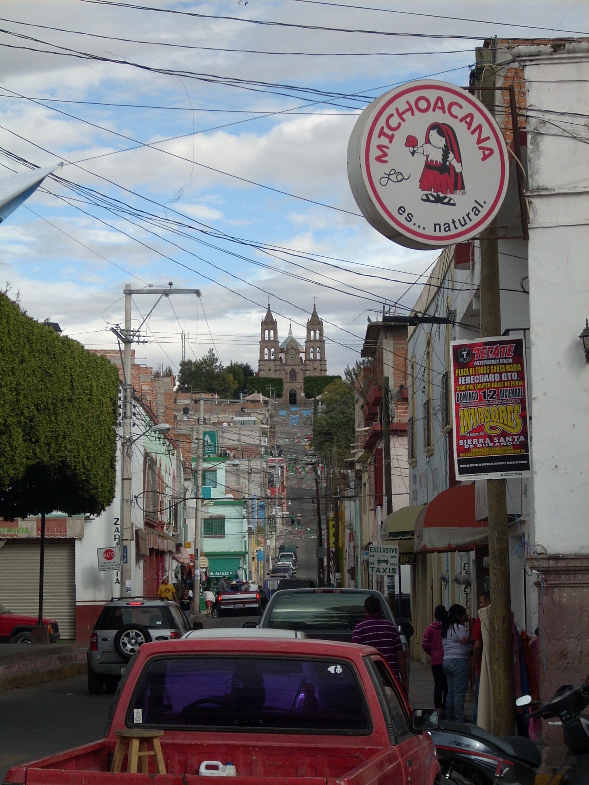
Jerécuaro, seat of the municipality of the same name, has 8,011 people (2020) and stands at 1,967 m in southeastern Guanajuato, close to the borders with Querétaro and Michoacán. Its Purépecha name translates as place like a nest, which fits: the town nestles among hills of the Sierra de los Agustinos, and three quarters of the municipality is ridges and mesas.
Local tradition dates its Purépecha founding to 23 September 1523, a day marked with a parade since 1994. Around 1526 the area was brought under Spanish rule by the Otomí chief Nicolás de San Luis Montañez, and the town was formally founded in 1572 under Bishop Juan de Medina Rincón. The Franciscans gave it Saint Michael the Archangel as patron. The first church was the Templo del Hospital; then came San Miguel, rebuilt in 1847, and in the 20th century the shrine of the Virgin of Guadalupe on Calvario hill, begun in 1919 and finished in 1947. Jerécuaro depended on Acámbaro's church for centuries and only became a parish in 1985. Its first road, to Acámbaro, opened in 1954 under governor José Aguilar y Maya, a native of the town.
Since December 2011 the skyline has been dominated by the Cristo de la Misericordia on top of Cerro del Sombrerete: a figure about 30 m tall and 12 tonnes, made of steel plates by local artist Daniel Rico Patiño, showing Christ stepping down from the cross and blessing with three fingers. A niche at its foot fills with candles and offerings. Near town, the Las Adjuntas reservoir, also called Fray Ángel Juárez after the Franciscan who started it with alms money, irrigates the farmland and is a favorite picnic spot.
Local food includes semitas, corundas, fresh requesón cheese, lamb barbacoa and sweets such as charamuscas, quince paste and black-corn pinole; the town's own pastry is the enatolada, puff pastry topped with clotted cream.
How to get to Jerécuaro
Drive from Acámbaro: 35 min, 33 km
By car: from Querétaro take the free road toward Celaya and, before Apaseo el Alto, the turn-off south to Jerécuaro; at a junction turn left and carry straight on into town. It is about 60 km, around 1 hour 10 minutes. Roads also run to Acámbaro, Coroneo and Tarandacuao, with a bypass linking the Apaseo and Coroneo roads. By bus: there is no direct service from Querétaro. Flecha Amarilla (Coordinados) runs from Jerécuaro to Acámbaro every 2 hours, taking about 1 hour, with connections there to Celaya; Herradura de Plata, Coroneos and the local Rangel family line also serve the town, plus combis to outlying villages. Amealco, the nearest Pueblo Mágico, is about 46 km away, roughly 45 minutes by car; by bus you change in Acámbaro.
Directions to Jerécuaro on Google Maps
Distances are in a straight line; the road is usually longer.
Links open a partner site. We may earn a commission if you book, at no cost to you.
From the nearest cities to Jerécuaro
- Acámbaro · 33 km by road, 35 min
- Celaya · 65 km by road, 1 h
- Ciudad Hidalgo · 73 km by road, 1 h 10 min
Drive times by road from OpenStreetMap, without traffic or stops. Times marked ~ are estimated from the straight-line distance.
Before you go to Jerécuaro: hours, prices and tips
- Best time of day
- Mid-April to early June, the warmest stretch; rain arrives in summer. Wikivoyage · checked Oct 2026
- Best season
- Feast of Saint Michael on 29 September, with a fair, jaripeo rodeos and dances; the Virgin of Guadalupe from 12 to 15 December, ending with a coronation at the Calvario shrine; a living Way of the Cross on Good Friday; the Fray Ángel Juárez reservoir feast on 27 November, with Mass and a picnic. Cronistas de Guanajuato, monografía de Jerécuaro · checked Oct 2026
Hours and prices change, especially around holidays. Each fact links to where we checked it.
Visiting Jerécuaro: what to see and do
Climb Cerro del Sombrerete to the Cristo de la Misericordia and its view over the valley.
Visit the parish church of San Miguel Arcángel downtown.
Step into the Templo del Hospital, the first church the Franciscans built.
Walk up to the Guadalupe shrine on Calvario hill.
Spend an afternoon at the Las Adjuntas reservoir.
Try an enatolada from a local bakery.
Plan your trip
Places to stay in Jerécuaro
Compare hotels, posadas, and rentals in and around Jerécuaro.
Tours & activities
Day trips around Amealco sometimes stop in Jerécuaro; a tour is the easy way to see it without a car.
Rental cars
Pick up a car at QRO (Querétaro): about 1 h 15 min by road to Amealco, then 38 km more to Jerécuaro, on your own schedule.
Flights
The nearest airport with scheduled flights is Querétaro (QRO), about 1 h 15 min by road from Amealco, the base for Jerécuaro.
Mobile data
Signal can drop away from Amealco: download a map of the way to Jerécuaro before you set out, or carry an eSIM with data.
Links open a partner site. We may earn a commission if you book, at no cost to you.
When to go to Jerécuaro cool
Jerécuaro shares the climate of Amealco, 38 km away. The best months to visit are January, February, March, and November.
See the month-by-month climate of Amealco
Weather in Jerécuaro now and the next 7 days
Live forecast from Open-Meteo. Chance of rain is the day's highest.
The closest Pueblo Mágico: Amealco

Amealco is the Pueblo Mágico closest to Jerécuaro, with places to stay, food, and more to see.
Also close to
- Salvatierra · Guanajuato · 39 km away
- Tlalpujahua · Michoacán · 52 km away
- El Oro · Estado de México · 56 km away
- Angangueo · Michoacán · 64 km away
- Yuriria · Guanajuato · 65 km away
Closest to Jerécuaro
-
Coroneo · Village · 16 km away
-
Tarandacuao · Town · 17 km away
-
Chupícuaro · Village · 21 km away
-
Acámbaro · Town · 26 km away
-
Laguna de Servín · Nature reserve · 30 km away
-
Tarimoro · Town · 30 km away
-
La Moncada · Village · 34 km away
-
Apaseo el Alto · Town · 36 km away


Near Jerécuaro


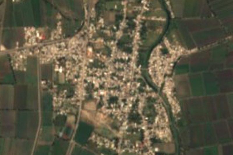


Drive times by road from OpenStreetMap, without traffic. Times marked ~ are estimated from the straight-line distance.
Location from OpenStreetMap. Written by Puebloteca.