

Village Apaseo el Grande, Guanajuato The Bajío
Apaseo el Grande village ringed by the remains of 60+ viceregal family chapels; La Pinta keeps wall paintings of the Passion.
From Querétaro: 35 min by car (31 km by road) How to get there ↓
Near here
See everything nearby ↓


Plan your visit to Ixtla
Where to stay near Ixtla
Compare hotels, posadas and guest houses in Ixtla.
Tours to Ixtla
Day trips and guided outings from Comonfort often include Ixtla; with a local guide you can get there without a car.
 Tours from San Miguel de Allende
Immersive Cañada de La Virgen Pyramid Tour
★ 4.8 (803) · From US$84
How to get to Ixtla
- From Querétaro: about 35 min by road (~31 km)
- Nearest airport: Querétaro (QRO), 1 h 33 min by car to Comonfort
Links open a partner site. We may earn a commission if you book, at no cost to you.
Tours from San Miguel de Allende, near Ixtla


Tours, prices and ratings from Viator, checked weekly. We may earn a commission if you book.
About Ixtla
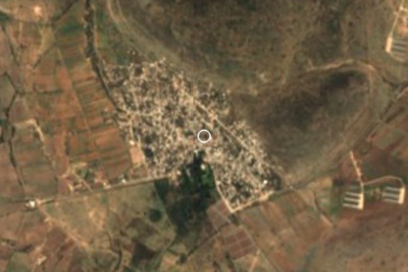
San Miguel de Ixtla sits at 1,884 metres in the far southeast of Guanajuato, almost on the Querétaro line. The name joins the patron archangel to the Nahuatl ixtli, "face", plus the collective suffix -tla, usually rendered as "plain". It was founded on 9 March 1551 by the indigenous chiefs Juan Alexos and Juan Ximenes de la Mota, first as a military colony answerable to San Miguel el Grande; in 1640 it passed to the town of Apaseo. Today a little over a thousand people live here (1,062 in the 2020 census).
What sets Ixtla apart is not the square but the countryside around it: the remains of more than sixty viceregal family chapels, of which, about fifteen were still in good shape and six kept mural painting. Each family built its own for its rites of life and death. Architect Carlos Flores Marini counted 41 in the 1970s; many have been lost since, some stripped for their building stone. The best known is La Pinta, with scenes of the Passion on its walls, restored with the community taking part. Others with their own names are San Isidro, Pajaritos and the chapel of the Señor de Ojo Arco.
The parish church of San Miguel, from the 18th century (1711 is the date mentioned), anchors the village. During Holy Week Ixtla is a stop on Guanajuato's route of faith; Holy Wednesday honours the Señor de Ojo Arco and draws large crowds. The feast of Señor Santiago is traditionally held in the forecourt of La Pinta. Outside those dates the village is quiet, best covered on foot or by bike, asking neighbours where the chapels are, since they are the ones who look after them.
How to get to Ixtla
Drive from Querétaro: 35 min, 31 km
Ixtla is about 25 minutes from Querétaro by road (an estimate, not a measured time) and about 19 km from Comonfort. From the Querétaro-Celaya highway you reach it via Apaseo el Grande and then local roads towards the village. In the 1970s the place could only be reached on horseback through the old Obrajuelo hacienda, about 16 km along the Querétaro-Celaya highway; today the village has services and car access, but the last stretch through the hills is still a country road. There is no published bus line or combi timetable to Ixtla: the sensible starting points are Apaseo el Grande or the Querétaro bus terminal, then a taxi or whatever local transport people point you to. Driving is the practical choice; fill the tank first. Tracks between the chapels are dirt and the chapels are scattered, so ask neighbours for directions.
Directions to Ixtla on Google Maps
Distances are in a straight line; the road is usually longer.
Links open a partner site. We may earn a commission if you book, at no cost to you.
From the nearest cities to Ixtla
- Querétaro · 31 km by road, 35 min
- Celaya · 41 km by road, 40 min
- San Miguel de Allende · 41 km by road, 1 h 5 min
Drive times by road from OpenStreetMap, without traffic or stops. Times marked ~ are estimated from the straight-line distance.
Before you go to Ixtla: hours, prices and tips
- Best season
- Holy Wednesday (Miércoles Santo) is the feast of the Señor de Ojo Arco and draws thousands; Holy Week is a stop on the state's route of faith. guanajuato.mx · checked Oct 2026
- Guide or tour
- No official guide is listed; the chapels are looked after by residents, ask in the village. Tours: Viator GetYourGuide guanajuato.mx · checked Oct 2026
Hours and prices change, especially around holidays. Each fact links to where we checked it.
Visiting Ixtla: what to see and do
La Pinta chapel, with scenes of the Passion of Christ on its walls
San Isidro chapel
The Pajaritos and Señor de Ojo Arco chapels
Parish church of San Miguel Arcángel (18th century)
Holy Wednesday: feast of the Señor de Ojo Arco
Tracks between the chapels, on foot or by bike
Plan your trip
Places to stay in Ixtla
Compare hotels, posadas, and rentals in and around Ixtla.
Tours & activities
Day trips and guided outings from Comonfort often include Ixtla; with a local guide you can get there without a car.
Rental cars
Pick up a car at QRO (Querétaro): about 1 h 33 min by road to Comonfort, then 19 km more to Ixtla, on your own schedule.
Flights
The nearest airport with scheduled flights is Querétaro (QRO), about 1 h 33 min by road from Comonfort, the base for Ixtla.
Mobile data
Signal can drop away from Comonfort: download a map of the way to Ixtla before you set out, or carry an eSIM with data.
Links open a partner site. We may earn a commission if you book, at no cost to you.
When to go to Ixtla mild
Ixtla shares the climate of Comonfort, 19 km away. The best months to visit are January, February, March, and April.
See the month-by-month climate of Comonfort
Weather in Ixtla now and the next 7 days
Live forecast from Open-Meteo. Chance of rain is the day's highest.
The closest Pueblo Mágico: Comonfort

Comonfort is the Pueblo Mágico closest to Ixtla, with places to stay, food, and more to see.
Also close to
- Salvatierra · Guanajuato · 57 km away
- Mineral de Pozos · Guanajuato · 64 km away
- Dolores Hidalgo · Guanajuato · 67 km away
- Bernal · Querétaro · 68 km away
- Amealco · Querétaro · 69 km away
Closest to Ixtla
-
Apaseo el Grande · Town · 16 km away
-
Soria · Town · 17 km away
-
San Juan de la Vega · Town · 18 km away
-
San Francisco Anbanica · Landmark · 20 km away
-
Apaseo el Alto · Town · 22 km away
-
Santiago de Querétaro · City · 22 km away
-
Puerto de Nieto · Village · 27 km away
-
Celaya · City · 28 km away


Near Ixtla



Drive times by road from OpenStreetMap, without traffic. Times marked ~ are estimated from the straight-line distance.
Location from OpenStreetMap. Written by Puebloteca.