

Town Celaya, Guanajuato Municipality of Celaya
A town founded in 1721 southeast of Celaya, tucked into a ring of hills, with its parish of San Bartolomé and the old Hacienda de San Antonio.
From Celaya: 20 min by car (17 km by road) How to get there ↓
Near here
See everything nearby ↓


Plan your visit to Rincón de Tamayo
Where to stay near Rincón de Tamayo
Compare hotels, posadas and guest houses in Rincón de Tamayo.
Tours to Rincón de Tamayo
Day trips around Salvatierra sometimes stop in Rincón de Tamayo; a tour is the easy way to see it without a car.
 Tours from San Miguel de Allende
Immersive Cañada de La Virgen Pyramid Tour
★ 4.8 (803) · From US$84
How to get to Rincón de Tamayo
- From Celaya: about 20 min by road (~17 km)
- Nearest airport: Morelia (MLM), 1 h 9 min by car to Salvatierra
Links open a partner site. We may earn a commission if you book, at no cost to you.
Tours from San Miguel de Allende, near Rincón de Tamayo


Tours, prices and ratings from Viator, checked weekly. We may earn a commission if you book.
About Rincón de Tamayo
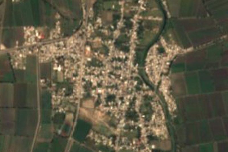
The name tells most of the story. 'Rincón', a corner, refers to the ring of hills that closes the town in on the east: Cerro Pelón, El Picacho, Las Tres Peñas and Cerro de los Huesos, cut by ravines with names like the Witches' and the Souls' barranca. 'Tamayo' is Antonio Tamayo, the first owner of the Hacienda de San Antonio, which still stands on the outskirts. With 11,026 people it is the third-largest locality in the municipality of Celaya, about 14 km southeast of the city and some 1,750 metres above sea level.
The town began with a land grant. In 1717 the viceroy ordered surveyors to measure 600 varas in each direction from the centre of each new settlement. The next year the Marquis of Valero signed a single charter for four Indigenous towns: Santa Cruz de Comontuoso (now Juventino Rosas), El Guaxe (Villagrán), San José de Amoles (Cortazar) and San Bartolomé del Rincón. This one was formally founded on 16 May 1721, last of the four, which is why locals call them sister towns. It was later known as San Bartolomé del Rincón de Tamayo and simply El Rincón before settling on its current name.
The parish church of San Bartolomé Apóstol, a listed historic monument, is still the heart of town, and there is also a church of the Virgin of Guadalupe. The parish office keeps an unofficial coat of arms showing the church, the Franciscan emblem and a woodcutter in front of the hacienda, with the motto 'Trabajo y Virtud' (Work and Virtue). Rincón de Tamayo acts as the informal hub for the surrounding ranchos, from San José el Nuevo to Ojo Seco, whose people come in to shop, study and celebrate; bread leads the trade the town sends out to them. The singer Joan Sebastian wrote 'Rosita de Guanajuato' about a girl from here.
How to get to Rincón de Tamayo
Drive from Celaya: 20 min, 17 km
Rincón de Tamayo is about 15 km by road southeast of Celaya, roughly 20 minutes by car, near the Celaya-Salvatierra highway; the road into town crosses a railway line at the entrance, so take it slowly. Salvatierra, the nearest Pueblo Mágico, is about half an hour to the south.
No intercity buses run to the town itself. By public transport, go first to the Central de Autobuses de Celaya, reached by ETN and Primera Plus from Guadalajara and by Flecha Amarilla and Coordinados from San Miguel de Allende, then take a taxi, about 20 minutes.
Directions to Rincón de Tamayo on Google Maps
Distances are in a straight line; the road is usually longer.
Links open a partner site. We may earn a commission if you book, at no cost to you.
From the nearest cities to Rincón de Tamayo
Drive times by road from OpenStreetMap, without traffic or stops. Times marked ~ are estimated from the straight-line distance.
Visiting Rincón de Tamayo: what to see and do
Visit the parish church of San Bartolomé Apóstol, a listed historic monument at the centre of town.
Step into the church of the Virgin of Guadalupe.
Look for the Hacienda de San Antonio on the outskirts, the source of the Tamayo name.
Take in the ring of hills to the east: Cerro Pelón, El Picacho and Las Tres Peñas.
Buy bread at one of the town's bakeries, its best-known trade in the area.
Plan your trip
Places to stay in Rincón de Tamayo
Compare hotels, posadas, and rentals in and around Rincón de Tamayo.
Tours & activities
Day trips around Salvatierra sometimes stop in Rincón de Tamayo; a tour is the easy way to see it without a car.
Rental cars
Pick up a car at MLM (Morelia): about 1 h 9 min by road to Salvatierra, then 26 km more to Rincón de Tamayo, on your own schedule.
Flights
The nearest airport with scheduled flights is Morelia (MLM), about 1 h 9 min by road from Salvatierra, the base for Rincón de Tamayo.
Mobile data
Signal can drop away from Salvatierra: download a map of the way to Rincón de Tamayo before you set out, or carry an eSIM with data.
Links open a partner site. We may earn a commission if you book, at no cost to you.
When to go to Rincón de Tamayo mild
Rincón de Tamayo shares the climate of Salvatierra, 26 km away. The best months to visit are January, February, March, and April.
See the month-by-month climate of Salvatierra
Weather in Rincón de Tamayo now and the next 7 days
Live forecast from Open-Meteo. Chance of rain is the day's highest.
The closest Pueblo Mágico: Salvatierra

Salvatierra is the Pueblo Mágico closest to Rincón de Tamayo, with places to stay, food, and more to see.
Also close to
Closest to Rincón de Tamayo
-
Celaya · City · 13 km away
-
Apaseo el Alto · Town · 14 km away
-
Apaseo el Grande · Town · 15 km away
-
Tarimoro · Town · 15 km away
-
La Moncada · Village · 16 km away
-
Cañada de Caracheo · Village · 21 km away
-
Cortazar · Town · 22 km away
-
San Juan de la Vega · Town · 23 km away

Near Rincón de Tamayo




Drive times by road from OpenStreetMap, without traffic. Times marked ~ are estimated from the straight-line distance.
Location from OpenStreetMap. Written by Puebloteca.