Town La Huacana, Michoacán Tierra Caliente
A Tierra Caliente town below El Jorullo, the volcano born in 1759; palm-lined plaza, a 1983 clock tower and a September saint's fiesta.
From Uruapan: about 1 h 5 min by road (~75 km) How to get there ↓
Near here
See everything nearby ↓


Plan your visit to La Huacana
Where to stay near La Huacana
Compare hotels, posadas and guest houses in La Huacana.
Tours to La Huacana
Day trips around Tacámbaro sometimes stop in La Huacana; a tour is the easy way to see it without a car.
How to get to La Huacana
- From Uruapan: about 1 h 5 min by road (~75 km)
- Nearest airport: Uruapan (UPN), 1 h 29 min by car to Tacámbaro
Links open a partner site. We may earn a commission if you book, at no cost to you.
About La Huacana
La Huacana is the seat of its municipality in Michoacán's Tierra Caliente, at 486 metres and 105 km from Morelia, with 9,643 people in 2020. The name comes from Purépecha and is read as "place of garments". Before the Conquest the area paid tribute to the Purépecha lords who followed Tariácuri, who named Cupauxanti as local chief; after Apatzingán fell, the Spaniards granted it in encomienda to Juan Pantoja.
About 10 km east-northeast rises El Jorullo, one of only two volcanoes born in Mexico in recorded history. It began erupting on September 29, 1759, after a run of earthquakes, and kept going until 1774, growing some 250 metres in its first six weeks. It buried rich farmland, and the parish seat, then in La Huacana, moved to Churumuco. Alexander von Humboldt climbed it on September 19, 1803, while its cones were still smoking and the air was hot enough to burn the climbers' faces.
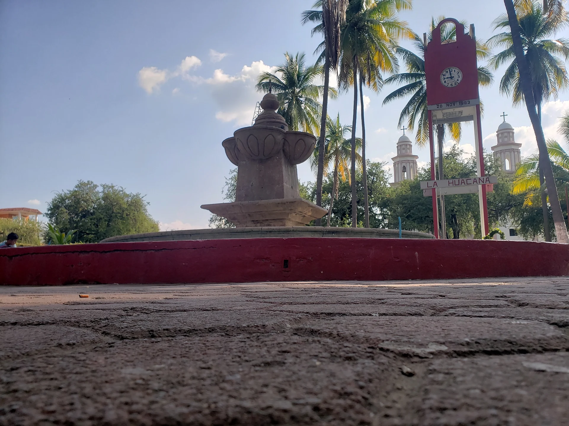
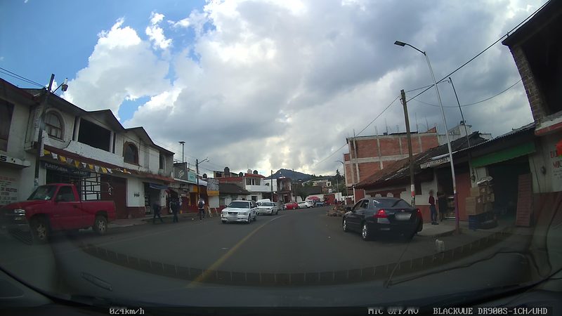
The climate is tropical with summer rain, around 800 mm a year, and temperatures between 10 and 44 °C. Dry deciduous forest of parota, tepeguaje and zapote covers the hills, and the municipality lies within the Zicuirán-Infiernillo Biosphere Reserve. Farming, cattle and fishing are the living; palm and ixtle are woven into brooms and ropes. The palm-shaded plaza holds a stone fountain, a clock tower opened on November 20, 1983, and behind them the twin towers of the parish church of San Nicolás de Tolentino.
How to get to La Huacana
La Huacana lies in the Tierra Caliente, south-east of Uruapan and 105 km from Morelia. A road links it with Cuatro Caminos, on the route from Nueva Italia toward Arteaga and the coast; the Zicuirán dam is 15 km along that stretch. From Apatzingán it is 1 h 45 min (102 km by road), and from the Pueblo Mágico of Tacámbaro 2 h 5 min (116 km by road). The US State Department rates Michoacán "Do Not Travel" because of crime and kidnapping; check the current advisory and local news before going, and travel by day.
Directions to La Huacana on Google Maps
Distances are in a straight line; the road is usually longer.
Links open a partner site. We may earn a commission if you book, at no cost to you.
From the nearest cities to La Huacana
- Uruapan · about 75 km by road, ~1 h 5 min
- Apatzingán · about 75 km by road, ~1 h 10 min
- Pátzcuaro · about 85 km by road, ~1 h 15 min
Drive times by road from OpenStreetMap, without traffic or stops. Times marked ~ are estimated from the straight-line distance.
Before you go to La Huacana: hours, prices and tips
- Best season
- San Nicolás de Tolentino is celebrated in September (pilgrimages from the 1st, a street party in the plaza on the 10th), followed by Independence fiestas from the 13th to the 18th; May 1 marks the ejido's land distribution. Wikipedia: Municipio de La Huacana · checked Oct 2026
- Rules
- The US State Department lists Michoacán at level 4, "Do Not Travel". US State Department, Mexico Travel Advisory · checked Oct 2026
Hours and prices change, especially around holidays. Each fact links to where we checked it.
Visiting La Huacana: what to see and do
The main plaza, with its stone fountain, palms and the 1983 clock tower.
The parish church of San Nicolás de Tolentino and its two white towers.
El Jorullo, the volcano born in 1759 about 10 km from town, with lava flows still visible north and west of the cone.
The Zicuirán dam, 15 km out on the road to Cuatro Caminos.
The Ixtapita ecotourism centre, with a hotel and restaurant.
The dry forest of the Zicuirán-Infiernillo Biosphere Reserve.
The San Nicolás de Tolentino fiesta, with pilgrimages from the outlying villages, and the Independence fiestas from September 13 to 18.
Plan your trip
Places to stay in La Huacana
Compare hotels, posadas, and rentals in and around La Huacana.
Tours & activities
Day trips around Tacámbaro sometimes stop in La Huacana; a tour is the easy way to see it without a car.
Rental cars
Pick up a car at UPN (Uruapan): about 1 h 29 min by road to Tacámbaro, then 48 km more to La Huacana, on your own schedule.
Flights
The nearest airport with scheduled flights is Uruapan (UPN), about 1 h 29 min by road from Tacámbaro, the base for La Huacana.
Mobile data
Signal can drop away from Tacámbaro: download a map of the way to La Huacana before you set out, or carry an eSIM with data.
Links open a partner site. We may earn a commission if you book, at no cost to you.
When to go to La Huacana mild
La Huacana shares the climate of Tacámbaro, 48 km away. The best months to visit are January, March, April, and December.
See the month-by-month climate of Tacámbaro
Weather in La Huacana now and the next 7 days
Live forecast from Open-Meteo. Chance of rain is the day's highest.
The closest Pueblo Mágico: Tacámbaro

Tacámbaro is the Pueblo Mágico closest to La Huacana, with places to stay, food, and more to see.
Also close to
- Santa Clara del Cobre · Michoacán · 52 km away
- Pátzcuaro · Michoacán · 65 km away
- Tzintzuntzan · Michoacán · 78 km away
- Paracho · Michoacán · 80 km away
Closest to La Huacana
-
Ario de Rosales · Town · 29 km away
-
Cuatro Caminos · Village · 31 km away
-
Nueva Italia · Town · 31 km away
-
Puruarán · Town · 33 km away
-
Laguna La Magdalena · Lake · 45 km away
-
La Alberca de Tacámbaro · Lake · 46 km away
-
Parque Ecológico Cerro Hueco · Nature reserve · 47 km away
-
Parácuaro · Town · 48 km away
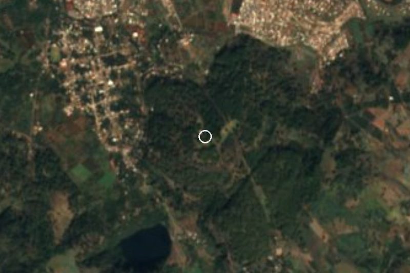

Near La Huacana
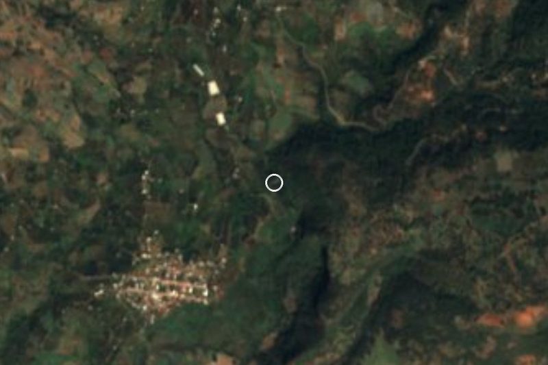




Drive times by road from OpenStreetMap, without traffic. Times marked ~ are estimated from the straight-line distance.
Location from OpenStreetMap. Written by Puebloteca.