

Village Múgica, Michoacán Tierra Caliente
The Tierra Caliente crossroads just south of Nueva Italia, where the roads to Uruapan, Apatzingán, Morelia and the coast meet, with its own bus terminal.
From Apatzingán: about 35 min by road (~40 km) How to get there ↓
Near here
See everything nearby ↓


Plan your visit to Cuatro Caminos
Where to stay near Cuatro Caminos
Compare hotels, posadas and guest houses in Cuatro Caminos.
Tours to Cuatro Caminos
Day trips and guided outings from Santa Clara del Cobre often include Cuatro Caminos; with a local guide you can get there without a car.
How to get to Cuatro Caminos
- From Apatzingán: about 35 min by road (~40 km)
- Nearest airport: Uruapan (UPN), 53 min by car to Santa Clara del Cobre
Links open a partner site. We may earn a commission if you book, at no cost to you.
About Cuatro Caminos
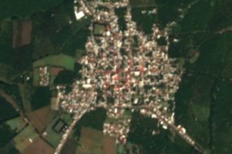
Cuatro Caminos is the part of Múgica municipality that grew up around the busiest junction in Michoacán's Tierra Caliente, on the southern edge of Nueva Italia, which it has all but merged with. The name means "four roads": at its roundabout federal highway 37, coming down from Uruapan toward Arteaga and the Lázaro Cárdenas coast, crosses the road west to Apatzingán and the way onto the Siglo XXI toll road to Morelia.
The 2020 census counted 1,484 residents (707 men and 777 women), up 290 since 2010. It sits at 348 metres in the Balsas depression, in a dry steppe climate with summer rain: about 443 mm a year, and daily temperatures between 22 and 38 °C.
For most travellers Cuatro Caminos simply means its bus terminal, a waiting room facing the bays where Parhíkuni coaches stop on their runs between Morelia, Uruapan, Apatzingán and the coast. It serves the whole of Nueva Italia, ranks among the state's main terminals and handles first-class service only.
Local dates are civic ones: Independence on 15 and 16 September, the Revolution on 20 November, and every 10 April, the anniversary of Emiliano Zapata's death, a ceremony led by the sitting governor of Michoacán. Being the crossroads also makes the roundabout a place where blockades happen; in 2020 at least four trucks were set on fire nearby and traffic through the roundabout stopped until police reopened it.
How to get to Cuatro Caminos
Cuatro Caminos lies on federal highway 37 just south of Nueva Italia, where it meets the road to Apatzingán and the access to the Siglo XXI toll road toward Morelia. From Apatzingán it is 35 minutes by car (32 km by road); the nearest Pueblo Mágico by road is Santa Clara del Cobre, 1 h 15 min away (83 km). By bus it is easy: the Cuatro Caminos terminal takes Parhíkuni's first-class coaches running between Morelia, Uruapan, Apatzingán and the coast, a few minutes from the centre of Nueva Italia. The US State Department keeps Michoacán at level 4, 'do not travel', because of crime and kidnapping, and the roundabout has seen blockades with burned vehicles: travel by day and check local news before setting out.
Directions to Cuatro Caminos on Google Maps
Distances are in a straight line; the road is usually longer.
Links open a partner site. We may earn a commission if you book, at no cost to you.
From the nearest cities to Cuatro Caminos
- Apatzingán · about 40 km by road, ~35 min
- Uruapan · about 60 km by road, ~55 min
- Pátzcuaro · about 100 km by road, ~1 h 30 min
Drive times by road from OpenStreetMap, without traffic or stops. Times marked ~ are estimated from the straight-line distance.
Visiting Cuatro Caminos: what to see and do
The roundabout where the roads to Uruapan, Apatzingán, Morelia and the coast meet.
The first-class bus terminal, the gateway to Nueva Italia.
The 10 April civic ceremony in memory of Emiliano Zapata.
The Independence celebrations on 15 and 16 September.
A few minutes north, Avenida Lázaro Cárdenas and the main square of Nueva Italia.
Plan your trip
Places to stay in Cuatro Caminos
Compare hotels, posadas, and rentals in and around Cuatro Caminos.
Tours & activities
Day trips and guided outings from Santa Clara del Cobre often include Cuatro Caminos; with a local guide you can get there without a car.
Rental cars
Pick up a car at UPN (Uruapan): about 53 min by road to Santa Clara del Cobre, then 67 km more to Cuatro Caminos, on your own schedule.
Flights
The nearest airport with scheduled flights is Uruapan (UPN), about 53 min by road from Santa Clara del Cobre, the base for Cuatro Caminos.
Mobile data
Signal can drop away from Santa Clara del Cobre: download a map of the way to Cuatro Caminos before you set out, or carry an eSIM with data.
Links open a partner site. We may earn a commission if you book, at no cost to you.
When to go to Cuatro Caminos cool
Cuatro Caminos shares the climate of Santa Clara del Cobre, 67 km away. The best months to visit are January, February, March, and April.
See the month-by-month climate of Santa Clara del Cobre
Weather in Cuatro Caminos now and the next 7 days
Live forecast from Open-Meteo. Chance of rain is the day's highest.
The closest Pueblo Mágico: Santa Clara del Cobre

Santa Clara del Cobre is the Pueblo Mágico closest to Cuatro Caminos, with places to stay, food, and more to see.
Also close to
Closest to Cuatro Caminos
-
Nueva Italia · Town · 4 km away
-
Parácuaro · Town · 21 km away
-
Apatzingán · City · 29 km away
-
La Huacana · Town · 31 km away
-
La Tzaráracua · Waterfall · 40 km away
-
Barrio de San Pedro · Landmark · 47 km away
-
Tancítaro · Town · 47 km away
-
Uruapan · City · 47 km away

Near Cuatro Caminos


Drive times by road from OpenStreetMap, without traffic. Times marked ~ are estimated from the straight-line distance.
Location from OpenStreetMap. Written by Puebloteca.