Town Tumbiscatío, Michoacán Tierra Caliente
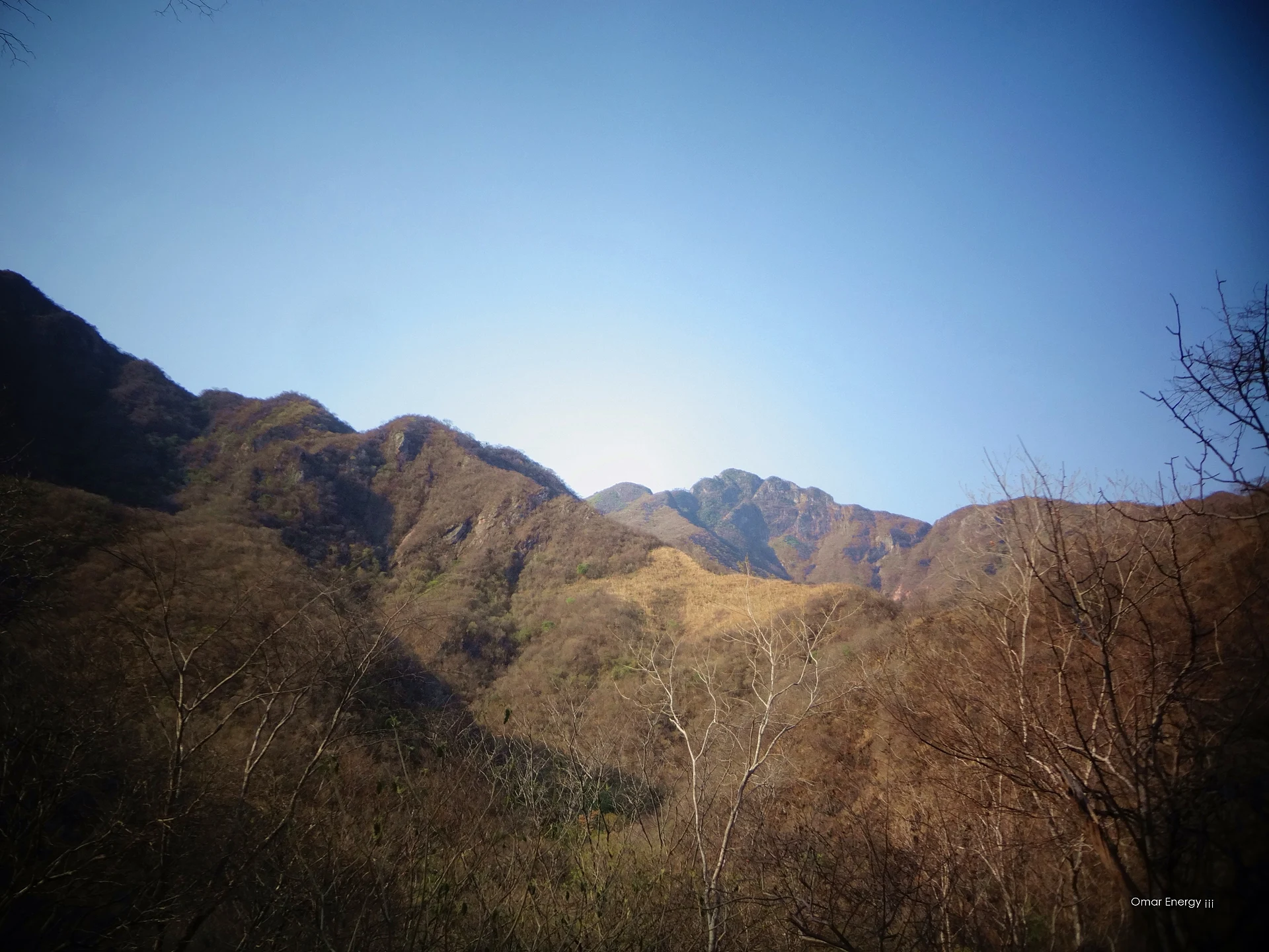
Mountain seat of Tumbiscatío at 913 m, built on the lands of a hacienda owned by Gordiano Guzmán; a municipality since 1955.
From Apatzingán: about 1 h 10 min by road (~80 km) How to get there ↓
Plan your visit to Tumbiscatío de Ruiz
Where to stay near Tumbiscatío de Ruiz
Compare hotels, posadas and guest houses in Tumbiscatío de Ruiz.
Tours to Tumbiscatío de Ruiz
Day trips around Michoacán sometimes stop in Tumbiscatío de Ruiz; a tour is the easy way to see it without a car.
How to get to Tumbiscatío de Ruiz
- From Apatzingán: about 1 h 10 min by road (~80 km)
Links open a partner site. We may earn a commission if you book, at no cost to you.
About Tumbiscatío de Ruiz
Tumbiscatío de Ruiz is the seat of Tumbiscatío municipality in the Sierra-Costa region of south-western Michoacán, at 913 metres and 252 km from Morelia. The name is read as "place of bunches" (as of fruit). It had 2,486 people in 2020, down from 2,801 in 2010, and many residents spend seasons working in the United States.
The town grew on the land of an old hacienda owned by Gordiano Guzmán, the insurgent who fought in these mountains during the War of Independence, flanked by the haciendas of Apo, San Antonio and Tumbiscatío. It was a tenencia of Coalcomán until February 15, 1955, when the municipality was created and its seat took the present name.
The municipality is almost all mountain, dropping below 190 metres on the Tierra Caliente side and climbing to 2,370 metres on Cerro de Santa Helena, also called El Jabalí. That range gives it everything from dry scrub with parota and laurelillo to pine, oak and cedar forest, home to deer, otters, ringtails and wild turkeys, and some of the best-preserved country in the state. The town lives from crops, cattle and some timber, and its big day is December 12, the feast of the Virgin of Guadalupe.
How to get to Tumbiscatío de Ruiz
From Morelia it is 252 km: federal highway 14 to Uruapan, highway 37 toward the coast (Uruapan-Playa Azul) and, before reaching the sea, the state road that climbs from Arteaga to Tumbiscatío. From Apatzingán it is 2 h (114 km by road), and from the Pueblo Mágico of Santa Clara del Cobre 2 h 45 min (165 km by road). The last stretch is a winding mountain road. The US State Department rates Michoacán "Do Not Travel" because of crime and kidnapping; check the current advisory and local news before going, and travel by day.
Directions to Tumbiscatío de Ruiz on Google Maps
Distances are in a straight line; the road is usually longer.
Links open a partner site. We may earn a commission if you book, at no cost to you.
From the nearest cities to Tumbiscatío de Ruiz
- Apatzingán · about 80 km by road, ~1 h 10 min
- Lázaro Cárdenas · about 85 km by road, ~1 h 15 min
- Uruapan · about 135 km by road, ~2 h
Drive times by road from OpenStreetMap, without traffic or stops. Times marked ~ are estimated from the straight-line distance.
Before you go to Tumbiscatío de Ruiz: hours, prices and tips
- Best season
- The main fiesta is December 12, the feast of the Virgin of Guadalupe. EcuRed: Tumbiscatío (México) · checked Oct 2026
- Rules
- The US State Department lists Michoacán at level 4, "Do Not Travel". US State Department, Mexico Travel Advisory · checked Oct 2026
Hours and prices change, especially around holidays. Each fact links to where we checked it.
Visiting Tumbiscatío de Ruiz: what to see and do
The centre of a mountain seat at 913 metres, ringed by hills such as La Aguja, El Gancho, El Zapote and La Aguacatera.
The feast of the Virgin of Guadalupe on December 12.
The Sierra Madre del Sur, which in this municipality climbs to 2,370 metres on Cerro de Santa Helena, or El Jabalí.
Pine, oak and cedar forest on the heights and dry tropical forest lower down.
The Las Cruces and Tumbiscatío streams.
Plan your trip
Places to stay in Tumbiscatío de Ruiz
Compare hotels, posadas, and rentals in and around Tumbiscatío de Ruiz.
Tours & activities
Day trips around Michoacán sometimes stop in Tumbiscatío de Ruiz; a tour is the easy way to see it without a car.
Mobile data
Signal can drop away from Michoacán: download a map of the way to Tumbiscatío de Ruiz before you set out, or carry an eSIM with data.
Links open a partner site. We may earn a commission if you book, at no cost to you.
Closest to Tumbiscatío de Ruiz

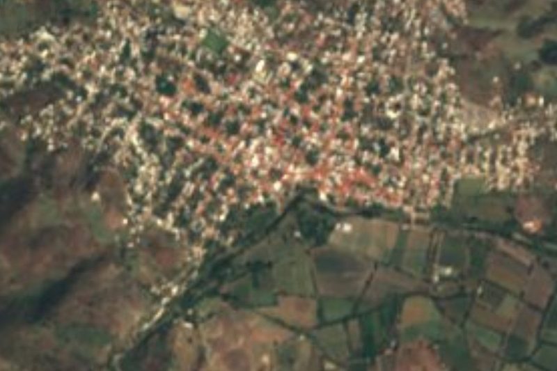
Near Tumbiscatío de Ruiz
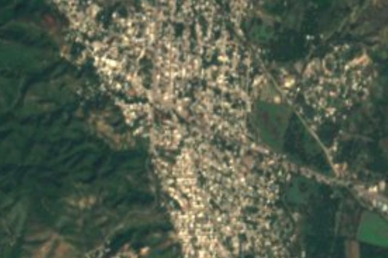
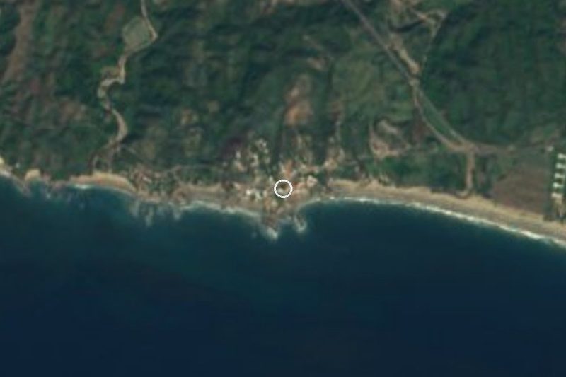
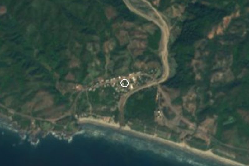


Drive times by road from OpenStreetMap, without traffic. Times marked ~ are estimated from the straight-line distance.
Location from OpenStreetMap. Written by Puebloteca.