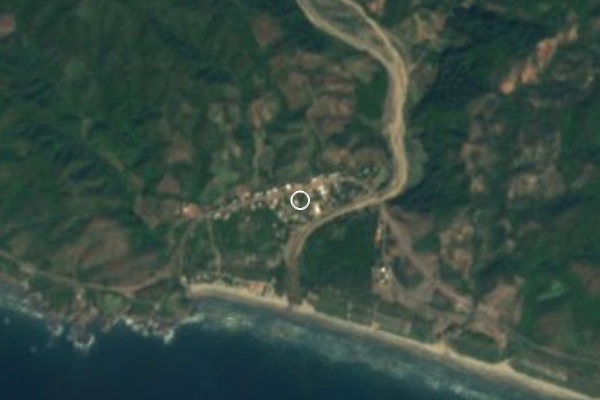
Beach Lázaro Cárdenas, Michoacán Municipality of Lázaro Cárdenas Michoacán coast
A fine-sand, gentle-surf beach by a small hamlet on coastal Highway 200, between Las Peñas and Caleta de Campos.
From Lázaro Cárdenas: about 50 min by road (~55 km) How to get there ↓
Near here
See everything nearby ↓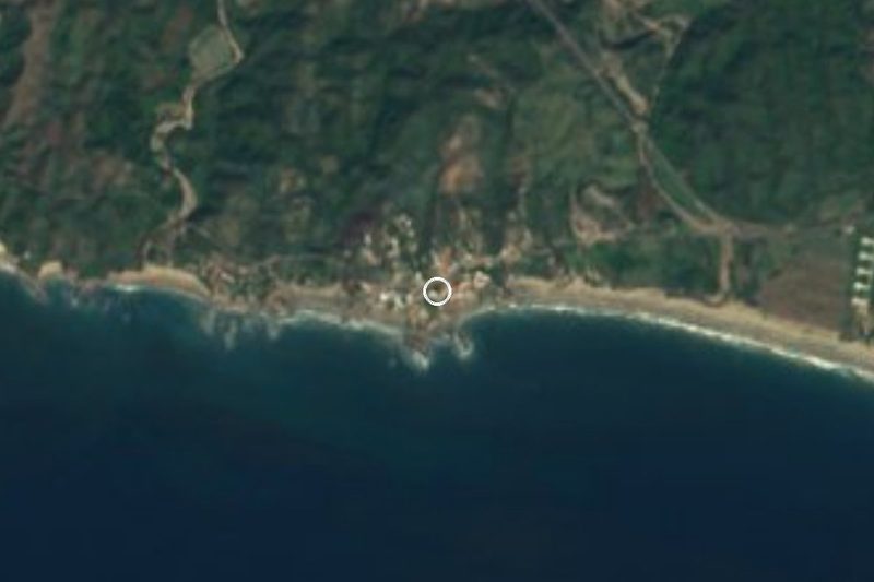



Plan your visit to Playa Chuquiapan
Where to stay near Playa Chuquiapan
Compare hotels, posadas and guest houses in Playa Chuquiapan.
Tours to Playa Chuquiapan
Day trips and guided outings from Michoacán often include Playa Chuquiapan; with a local guide you can get there without a car.
How to get to Playa Chuquiapan
- From Lázaro Cárdenas: about 50 min by road (~55 km)
Links open a partner site. We may earn a commission if you book, at no cost to you.
About Playa Chuquiapan
Chuquiapan is a hamlet of about 366 people (2020 census) and just over a hundred homes in the municipality of Lázaro Cárdenas, 11 metres above sea level. It sits right on Federal Highway 200, the coast road that climbs north-west from Playa Azul towards Manzanillo, some 45 km in a straight line west of the port city. Behind it rise low hills covered in dry tropical forest, among them El Bolsón (181 m), less than 3 km away, and El Huicón (452 m) further inland.
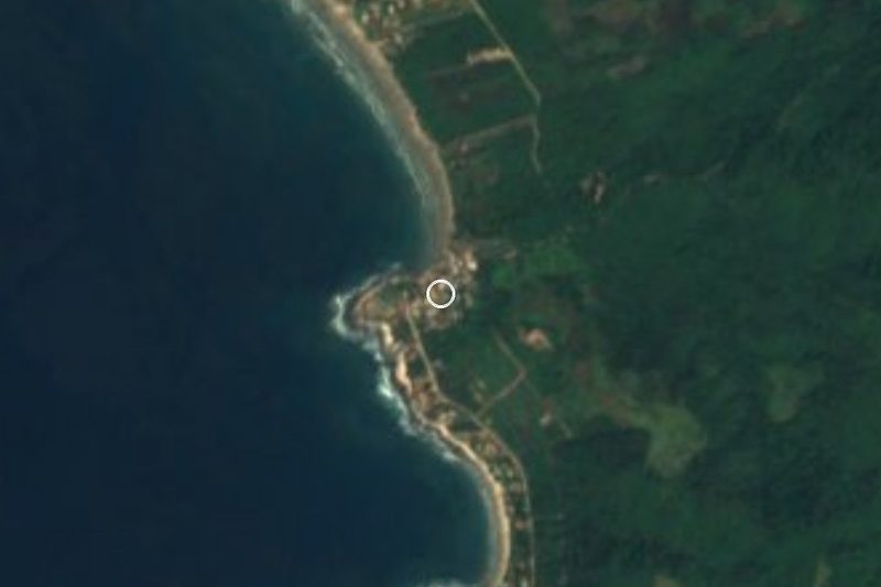
The beach that shares its name has fine sand and, unlike much of this exposed coast, usually gentle surf. People come to swim, paddle kayaks and try other water sports, and to camp; in the late afternoon the sun goes down straight ahead over the Pacific. There are no hotels registered in the hamlet itself: the nearest lodging is at Las Peñas, so most visitors either pass through or bring a tent.
Chuquiapan is also a starting point for a little-known stretch of shore. A few kilometres away, El Bejuco is a quiet beach framed by rock formations where people camp and eat fresh fish cooked by the sea. Almost 4 km north, La Soledad is a cove hidden between hills, reached only by dirt track, with no electricity or phone signal, wooden cabins built by local cooperatives and a yearly sand-sculpture festival. About 12 km down the coast towards Lázaro Cárdenas, Las Peñas has rocks that locals liken to a monkey, a crowned king and an Aztec emperor, waves for surfing and a camping area. It is hot all year, around 26 °C on average, with rain in summer.
How to get to Playa Chuquiapan
Chuquiapan is 40 minutes from Lázaro Cárdenas, 51 km by road: leave the port towards Playa Azul and carry on along Federal Highway 200, the paved coast road to Caleta de Campos and Manzanillo, which runs straight through the hamlet; the beach is a short walk from the road. From Zihuatanejo, the nearest pueblo mágico, it is 1 h 45 min and 145 km on the same Highway 200, crossing the Balsas river at Lázaro Cárdenas. Without a car, Parhikuni runs hourly buses from Morelia to Lázaro Cárdenas (about 4 h 15 min) and Autovías comes from Uruapan; we could not confirm any public transport for the last stretch up the coast, so plan on a taxi from Lázaro Cárdenas. The US State Department rates Michoacán Level 4, 'Do not travel', because of crime; its own staff may reach Lázaro Cárdenas only by air and must stay in the city centre and port area.
Directions to Playa Chuquiapan on Google Maps
Distances are in a straight line; the road is usually longer.
Links open a partner site. We may earn a commission if you book, at no cost to you.
From the nearest cities to Playa Chuquiapan
- Lázaro Cárdenas · about 55 km by road, ~50 min
- Apatzingán · about 155 km by road, ~2 h 15 min
- Zihuatanejo · about 155 km by road, ~2 h 20 min
Drive times by road from OpenStreetMap, without traffic or stops. Times marked ~ are estimated from the straight-line distance.
Visiting Playa Chuquiapan: what to see and do
Swim in the usually calm water at Playa Chuquiapan.
Paddle a kayak off the beach when the sea is flat.
Camp on the sand and watch the sun set over the Pacific.
Visit nearby El Bejuco for its rock formations and freshly cooked fish.
Seek out the cove at La Soledad, down a dirt track with no power or signal.
Drive down to Las Peñas for its rock formations and surf.
Plan your trip
Places to stay in Playa Chuquiapan
Compare hotels, posadas, and rentals in and around Playa Chuquiapan.
Tours & activities
Day trips and guided outings from Michoacán often include Playa Chuquiapan; with a local guide you can get there without a car.
Travel insurance
If you plan on swimming or surfing at Playa Chuquiapan, check that your policy covers it: some plans leave adventure activities out.
Mobile data
Signal can drop away from Michoacán: download a map of the way to Playa Chuquiapan before you set out, or carry an eSIM with data.
Links open a partner site. We may earn a commission if you book, at no cost to you.
Closest to Playa Chuquiapan
-
Playa Las Peñas · Beach · 12 km away
-
Caleta de Campos · Town · 16 km away
-
Nexpa · Beach · 20 km away
-
Playa Azul · Town · 28 km away
-
La Mira · Town · 30 km away
-
Playa Eréndira · Beach · 43 km away
-
Lázaro Cárdenas · City · 44 km away
-
Arteaga · Town · 48 km away


Near Playa Chuquiapan




Drive times by road from OpenStreetMap, without traffic. Times marked ~ are estimated from the straight-line distance.
Lists with Playa Chuquiapan
Beaches in Michoacán · 8 Beaches near Lázaro Cárdenas · 4Location from OpenStreetMap. Written by Puebloteca.