Town Arteaga, Michoacán Michoacán coast
Seat of Michoacán's largest municipality, at 864 m in the Sierra Madre del Sur; once called El Carrizal. 1 h 15 min from Lázaro Cárdenas.
From Lázaro Cárdenas: about 50 min by road (~60 km) How to get there ↓
Near here
See everything nearby ↓


Plan your visit to Arteaga
Where to stay near Arteaga
Compare hotels, posadas and guest houses in Arteaga.
Tours to Arteaga
Day trips around Michoacán sometimes stop in Arteaga; a tour is the easy way to see it without a car.
How to get to Arteaga
- From Lázaro Cárdenas: about 50 min by road (~60 km)
Links open a partner site. We may earn a commission if you book, at no cost to you.
About Arteaga
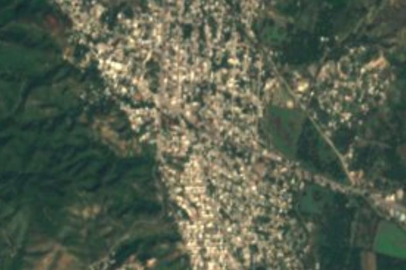
Arteaga is the seat of the municipality of the same name, the largest in Michoacán at 3,454 km², almost 6% of the state. The town sits at 864 metres in the foothills of the Sierra Madre del Sur, about 189 km from Morelia, and had 11,046 people in 2020.
It began as a hamlet called El Carrizal. Around 1887 it was recognised as a pueblo under the name El Carrizal de Arteaga, and in 1894 it became the municipal seat, simply as Arteaga. The name honours General José María Arteaga, governor of Querétaro and Jalisco, who was shot by firing squad in Uruapan on 21 October 1865 under a decree of Maximilian's empire and is remembered as one of the Martyrs of Uruapan.
The climate is tropical, averaging 26 °C, with rain from June to August and a dry winter. Tropical forest covers more than 60% of the municipality and woodland nearly another 30%; almost none of the land is fit for crops, so life here turns on cattle, the forest and trade. The surrounding hills include Cerro del Agua, La India, La Batea, El Fraile and El Chicote, and the Balsas, Nexpa and Tepalcatepec rivers and the Infiernillo reservoir all lie within the municipality.
The church of La Candelaria stands in the centre, and its feast falls on 2 February; the Holy Cross is celebrated on 3 May. During Holy Week the town brings out its Judas figures and burns the Iscariot, and it keeps the tradition of the maringuías. Local craftsmen work leather and make huaraches, and the dish to look for is aporreadillo, made with beef or venison. The village of Toscano, elsewhere in the municipality, has an archaeological site.
How to get to Arteaga
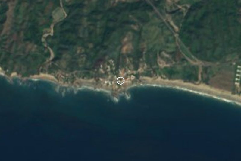
Arteaga lies inland, north of the port of Lázaro Cárdenas, 1 h 15 min away by car (76 km by road). From Lázaro Cárdenas take federal highway 200 west to La Mira, then federal highway 37 (Carapan–Playa Azul), which climbs toward the sierra and enters Arteaga along Avenida Lázaro Cárdenas. The nearest Pueblo Mágico by road is Zihuatanejo, in Guerrero, 2 h 20 min away (170 km), along coastal highway 200 and then the same stretch of 37. The US State Department rates Michoacán "Do not travel" because of crime; check the current advisory and local news before driving in this area.
Directions to Arteaga on Google Maps
Distances are in a straight line; the road is usually longer.
Links open a partner site. We may earn a commission if you book, at no cost to you.
From the nearest cities to Arteaga
- Lázaro Cárdenas · about 60 km by road, ~50 min
- Apatzingán · about 105 km by road, ~1 h 35 min
- Zihuatanejo · about 145 km by road, ~2 h 10 min
Drive times by road from OpenStreetMap, without traffic or stops. Times marked ~ are estimated from the straight-line distance.
Visiting Arteaga: what to see and do
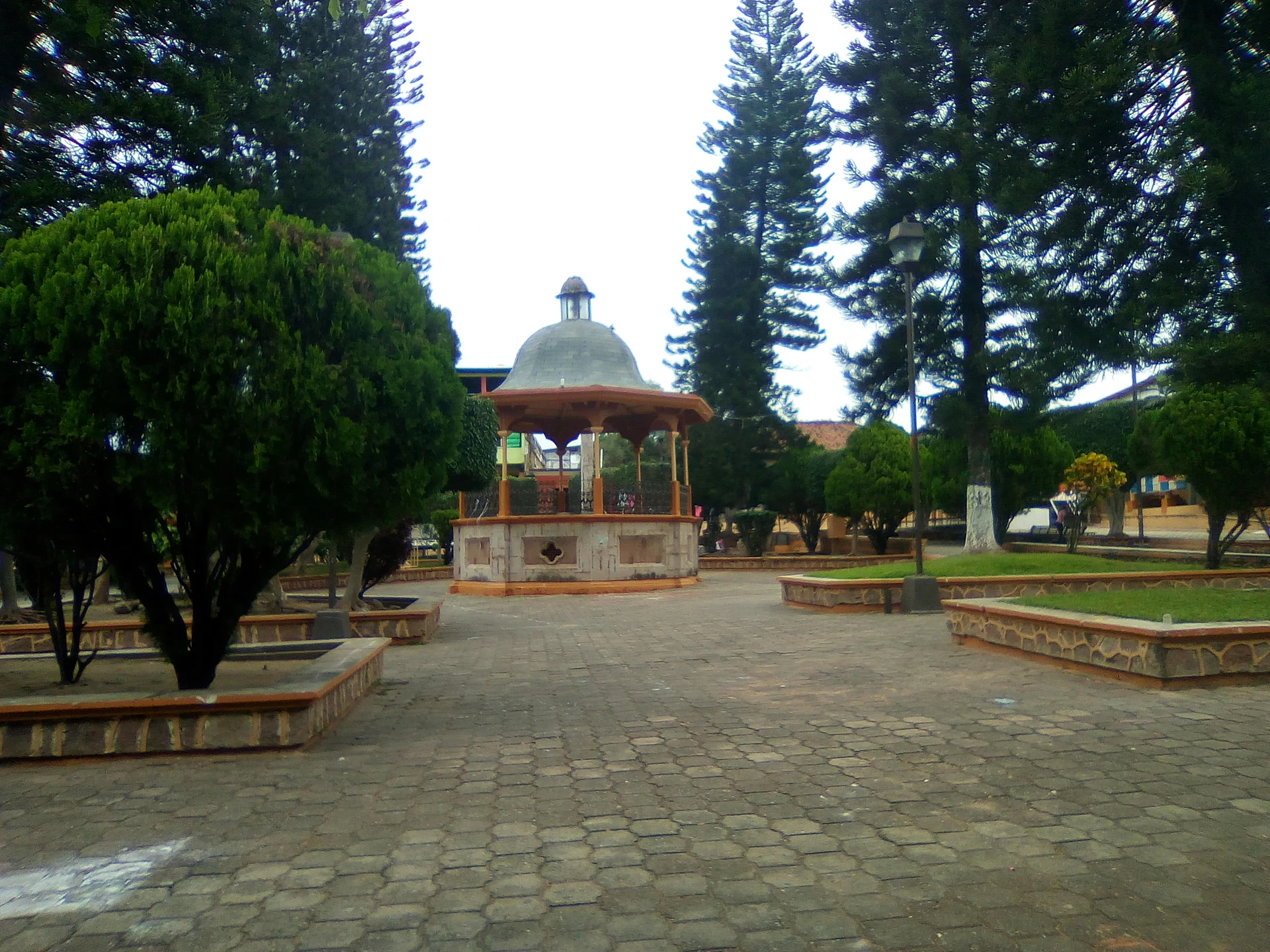
Sit in the main plaza, with its domed bandstand among tall trees.
Step into the church of La Candelaria in the centre.
Come for the Candelaria feast on 2 February or the Holy Cross on 3 May.
See the Judas figures and the burning of the Iscariot during Holy Week.
Try aporreadillo, made with beef or venison.
Look for leather goods and huaraches made in the municipality.
Plan your trip
Places to stay in Arteaga
Compare hotels, posadas, and rentals in and around Arteaga.
Tours & activities
Day trips around Michoacán sometimes stop in Arteaga; a tour is the easy way to see it without a car.
Mobile data
Signal can drop away from Michoacán: download a map of the way to Arteaga before you set out, or carry an eSIM with data.
Links open a partner site. We may earn a commission if you book, at no cost to you.
Closest to Arteaga
-
Tumbiscatío de Ruiz · Town · 21 km away
-
La Mira · Town · 36 km away
-
Playa Azul · Town · 42 km away
-
Playa Las Peñas · Beach · 44 km away
-
Lázaro Cárdenas · City · 45 km away
-
Playa Chuquiapan · Beach · 48 km away
-
Playa Eréndira · Beach · 48 km away

Near Arteaga






Drive times by road from OpenStreetMap, without traffic. Times marked ~ are estimated from the straight-line distance.
Location from OpenStreetMap. Written by Puebloteca.