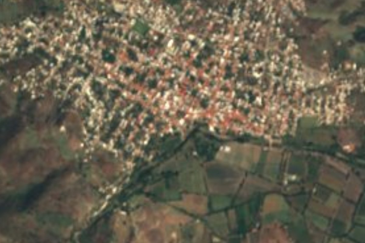
Town Aguililla, Michoacán Tierra Caliente
A hill-country seat of the Tierra Caliente at 920 m, between the Sierra Madre del Sur and the Apatzingán valley; Guadalupe church and a Holy Week with Judases.
From Apatzingán: about 1 h 10 min by road (~80 km) How to get there ↓
Plan your visit to Aguililla
Where to stay near Aguililla
Compare hotels, posadas and guest houses in Aguililla.
Tours to Aguililla
Day trips around Michoacán sometimes stop in Aguililla; a tour is the easy way to see it without a car.
How to get to Aguililla
- From Apatzingán: about 1 h 10 min by road (~80 km)
Links open a partner site. We may earn a commission if you book, at no cost to you.
About Aguililla
Aguililla, seat of the municipality of the same name, lies in southwestern Michoacán, about 290 km from Morelia. At 920 metres it sits above the Tierra Caliente plain and looks toward the Sierra Madre del Sur and the Sierra de Dos Aguas, with Cerro de las Conchas the municipality's highest point. The Aguililla and Chapula rivers cross the municipality on their way to the Nexpa. In 2020 the town had 8,505 of the municipality's 14,754 residents.
It began after Independence, in the early 19th century, when families from Zamora and Cotija settled on a hacienda owned by María Josefa del Peral to farm and raise cattle. By 1831 it was a tenencia of Apatzingán; in 1854 the republican guerrilla Pascual Rodríguez Pinzón attacked and burned it, and on 22 June 1877 it became a municipality. Santiago Tapia (1820-1866) was born here, as was the goalkeeper Moisés Muñoz.
The centre is anchored by the 19th-century church of Nuestra Señora de Guadalupe, now the parish church, and the municipality also holds the El Limón archaeological site. In Holy Week, Wednesday to Friday, the Judas figures and the Maringuías carnival come out, and from 1 October to mid-November the town honours the Virgin of the Tres Cerritos.
It is also the birthplace of Nemesio Oseguera, 'El Mencho'. From late 2020 cartel fighting cut it off, with trenches across the road and battles in April 2021, until the army and National Guard took back control in February 2022. After the cartel boss fell, in February 2026, about 250 people dressed in white marched for peace from the Colegio Diocesano to the parish church.
How to get to Aguililla
Aguililla is reached on the road that runs southwest from Apatzingán: 1 h 35 min by car from Apatzingán (84 km by road). The nearest Pueblo Mágico by road is Cotija, 3 h 10 min away (179 km). By bus, Parhíkuni, Primera Plus and other lines run to Apatzingán, whose terminal is at Cornelio Ortiz de Zárate 178; from there you continue overland to Aguililla. That road has been closed many times with trenches and blockades, and burned vehicles still lined it in February 2026. The US State Department keeps Michoacán at level 4, 'do not travel': ask in Apatzingán about the road before going, and travel by day only.
Directions to Aguililla on Google Maps
Distances are in a straight line; the road is usually longer.
Links open a partner site. We may earn a commission if you book, at no cost to you.
From the nearest cities to Aguililla
- Apatzingán · about 80 km by road, ~1 h 10 min
- Lázaro Cárdenas · about 140 km by road, ~2 h
- Uruapan · about 140 km by road, ~2 h 5 min
Drive times by road from OpenStreetMap, without traffic or stops. Times marked ~ are estimated from the straight-line distance.
Visiting Aguililla: what to see and do
The 19th-century church of Nuestra Señora de Guadalupe in the town centre.
Holy Week, with its Judas figures and the Maringuías carnival.
The feast of the Virgin of the Tres Cerritos, 1 October to mid-November.
The municipality's anniversary every 22 June.
Views of the Sierra Madre del Sur and the Sierra de Dos Aguas.
The El Limón archaeological site, in the municipality.
Plan your trip
Places to stay in Aguililla
Compare hotels, posadas, and rentals in and around Aguililla.
Tours & activities
Day trips around Michoacán sometimes stop in Aguililla; a tour is the easy way to see it without a car.
Mobile data
Signal can drop away from Michoacán: download a map of the way to Aguililla before you set out, or carry an eSIM with data.
Links open a partner site. We may earn a commission if you book, at no cost to you.
Closest to Aguililla
-
Tumbiscatío de Ruiz · Town · 49 km away

Near Aguililla


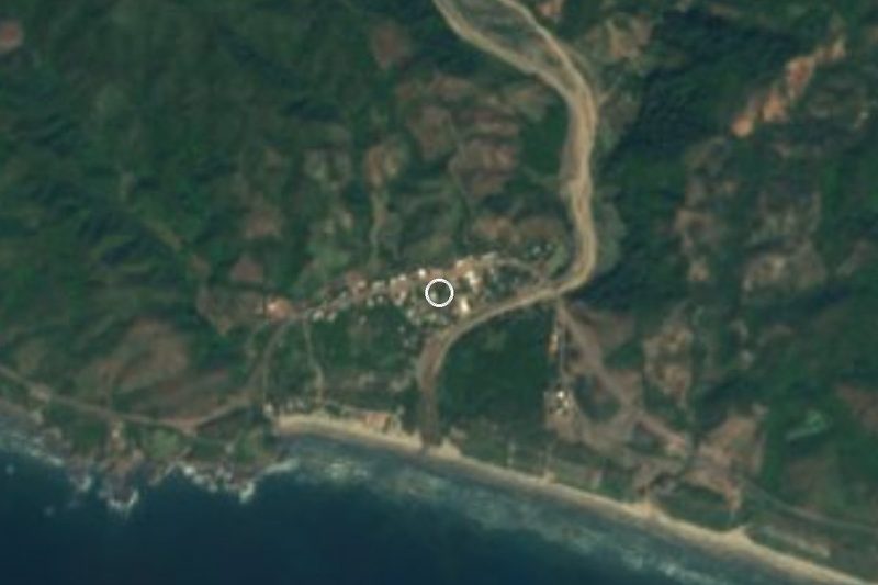


Drive times by road from OpenStreetMap, without traffic. Times marked ~ are estimated from the straight-line distance.
Location from OpenStreetMap. Written by Puebloteca.