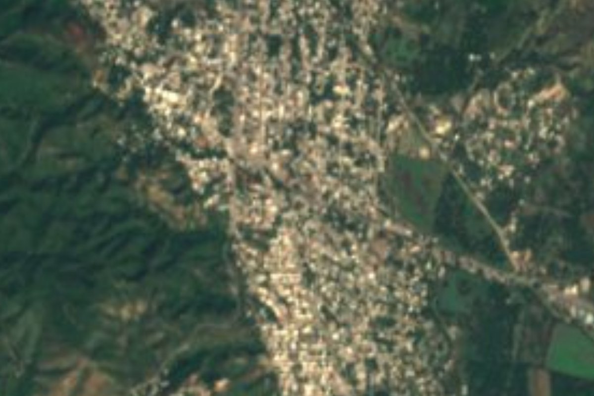
Town Lázaro Cárdenas, Michoacán Municipality of Lázaro Cárdenas Michoacán coast
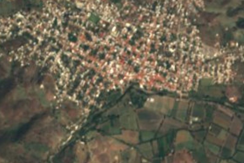
A farming town of almost 13,000 where Highway 37 from Uruapan meets coastal Highway 200, 15 minutes from Lázaro Cárdenas.
From Lázaro Cárdenas: about 20 min by road (~20 km) How to get there ↓
Near here
See everything nearby ↓



Plan your visit to La Mira
Where to stay near La Mira
Compare hotels, posadas and guest houses in La Mira.
Tours to La Mira
Day trips around Zihuatanejo sometimes stop in La Mira; a tour is the easy way to see it without a car.
 Tours from Ixtapa
Private Transportation from the Zihuatanejo Airport to your hotel in Ixtapa
★ 4.8 (102) · From US$88
How to get to La Mira
- From Lázaro Cárdenas: about 20 min by road (~20 km)
- Nearest airport: Zihuatanejo (ZIH), 12 min by car to Zihuatanejo
Links open a partner site. We may earn a commission if you book, at no cost to you.
Tours from Ixtapa, near La Mira


Tours, prices and ratings from Viator, checked weekly. We may earn a commission if you book.
About La Mira
La Mira is a tenencia, or sub-district, of Lázaro Cárdenas municipality, home to 12,845 people in 2020, slightly down from 13,415 in 2010. That makes it the 37th-largest locality in Michoacán and one of the biggest in the state that is not a municipal seat. It lies about 40 metres above sea level and only 5.5 km from the Pacific, yet it is not a beach town: people here live mainly from farming and cattle on the hot coastal plain around the port, 15 km from the city.
What puts La Mira on the map is the road. Federal Highway 37, which runs 466 km down from La Piedad through Uruapan and Nueva Italia, ends here at its junction with Highway 200, the Pacific coast road. The old road to Playa Azul also runs through Acalpican and La Mira before reaching the sea, so this is the crossroads where the highland route meets the coast.
For anyone stopping, La Mira offers the everyday life of a big coastal town, with a sports ground rebuilt in 2015 with mining-fund money, and the Jesús Romero Flores public library. Its cultural hub is the Centro Cultural La Parota, opened in February 1999, which runs permanent workshops in Mexican folk dance, Polynesian dance, painting and drawing, plus piano and percussion clinics and concerts with the Conservatorio de las Rosas. Every February it marks its anniversary with exhibitions and student shows, and in October it hosts a children's literary festival. Local cooking means pescado a la talla and shrimp in many styles; the climate is tropical, averaging about 28 °C, with summer rains.
How to get to La Mira
La Mira is 15 minutes from Lázaro Cárdenas, 17 km by road, on Federal Highway 200 heading west out of the port; right here it meets Highway 37, the free road down from Uruapan through Nueva Italia, and the old road to Playa Azul branches off through Acalpican. From Morelia the fastest way is the Autopista Siglo XXI toll road to Lázaro Cárdenas, then these last 17 km. From Zihuatanejo, the nearest pueblo mágico, it is 1 h 20 min and 111 km along coastal Highway 200. By bus, Parhikuni runs hourly from Morelia to Lázaro Cárdenas (about 4 h 15 min) and Autovías comes from Uruapan; from the terminal, Uber covers the trip to La Mira in about half an hour. The US State Department rates Michoacán Level 4, 'Do not travel', because of crime; its own staff may reach Lázaro Cárdenas only by air and must stay in the city centre and port area.
Directions to La Mira on Google Maps
Distances are in a straight line; the road is usually longer.
Links open a partner site. We may earn a commission if you book, at no cost to you.
From the nearest cities to La Mira
- Lázaro Cárdenas · about 20 km by road, ~20 min
- Zihuatanejo · about 120 km by road, ~1 h 45 min
- Apatzingán · about 155 km by road, ~2 h 15 min
Drive times by road from OpenStreetMap, without traffic or stops. Times marked ~ are estimated from the straight-line distance.
Visiting La Mira: what to see and do
Visit the Centro Cultural La Parota and ask about its workshops and concerts.
Come in February, when La Parota celebrates its anniversary with exhibitions and shows.
Stop at the junction of Highways 37 and 200 before heading along the coast.
Follow the old road on to Playa Azul, at the end of the line.
Eat pescado a la talla or shrimp on the nearby coast.
Plan your trip
Places to stay in La Mira
Compare hotels, posadas, and rentals in and around La Mira.
Tours & activities
Day trips around Zihuatanejo sometimes stop in La Mira; a tour is the easy way to see it without a car.
Rental cars
Pick up a car at ZIH (Zihuatanejo): about 12 min by road to Zihuatanejo, then 93 km more to La Mira, on your own schedule.
Flights
The nearest airport with scheduled flights is Zihuatanejo (ZIH), about 12 min by road from Zihuatanejo, the base for La Mira.
Mobile data
Signal can drop away from Zihuatanejo: download a map of the way to La Mira before you set out, or carry an eSIM with data.
Links open a partner site. We may earn a commission if you book, at no cost to you.
When to go to La Mira warm
La Mira shares the climate of Zihuatanejo, 93 km away. The best months to visit are January, February, March, and April.
See the month-by-month climate of Zihuatanejo
Weather in La Mira now and the next 7 days
Live forecast from Open-Meteo. Chance of rain is the day's highest.
The closest Pueblo Mágico: Zihuatanejo

Zihuatanejo is the Pueblo Mágico closest to La Mira, with places to stay, food, and more to see.
Closest to La Mira
-
Playa Azul · Town · 6 km away
-
Lázaro Cárdenas · City · 16 km away
-
Playa Eréndira · Beach · 16 km away
-
Playa Las Peñas · Beach · 19 km away
-
Playa Chuquiapan · Beach · 30 km away
-
Arteaga · Town · 36 km away
-
Caleta de Campos · Town · 46 km away
-
Nexpa · Beach · 50 km away


Near La Mira


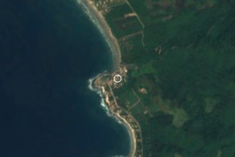


Drive times by road from OpenStreetMap, without traffic. Times marked ~ are estimated from the straight-line distance.
Location from OpenStreetMap. Written by Puebloteca.