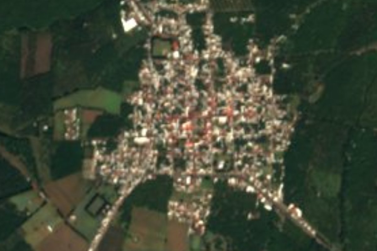
Town Tancítaro, Michoacán Meseta Purépecha
An avocado town at 2,080 m below Pico de Tancítaro, Michoacán's highest peak, once a Purépecha tribute post. 1 h 5 min from Apatzingán.
From Apatzingán: about 30 min by road (~35 km) How to get there ↓
Near here
See everything nearby ↓


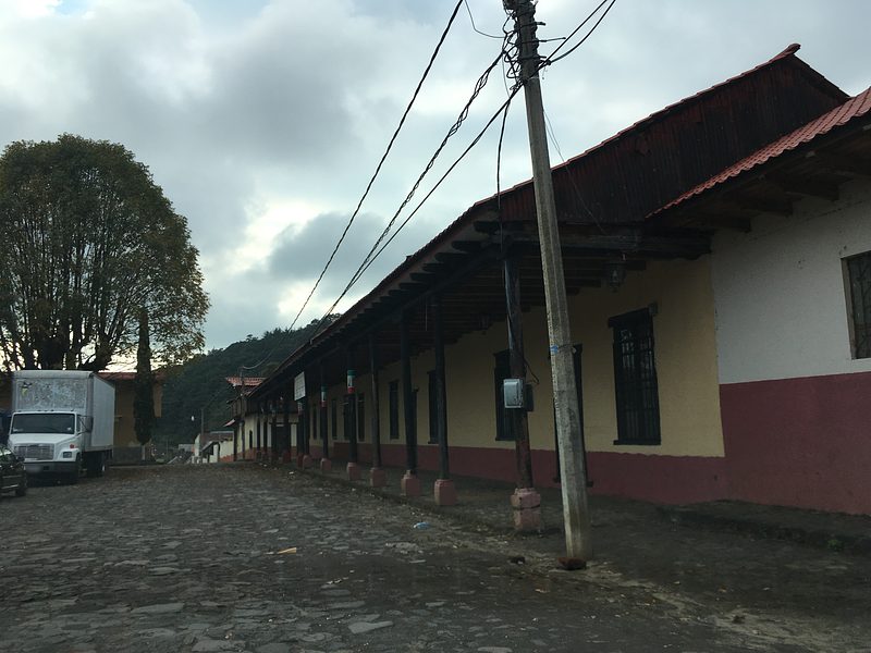

Plan your visit to Tancítaro
Where to stay near Tancítaro
Compare hotels, posadas and guest houses in Tancítaro.
Tours to Tancítaro
Day trips around Paracho sometimes stop in Tancítaro; a tour is the easy way to see it without a car.
How to get to Tancítaro
- From Apatzingán: about 30 min by road (~35 km)
- Nearest airport: Uruapan (UPN), 42 min by car to Paracho
Links open a partner site. We may earn a commission if you book, at no cost to you.
About Tancítaro
Tancítaro sits at 2,080 metres at the foot of the volcano that shares its name, the highest summit in Michoacán. The name is usually read as "place of tribute": wedged between the highlands and the hot lowlands, it was where coastal and valley towns under Purépecha rule delivered their goods. After the conquest Domingo de Medina held half of it in encomienda; it counted 990 tribute payers in 1546 and only 714 by the end of the 16th century. Franciscan friars built a monastery here as their base for moving down into the Tierra Caliente.
Tancítaro became a municipality in 1831 and was made a villa on June 28, 1860, as Tancítaro de Medellín, and the area saw fighting during the French Intervention. The town had 8,133 people in 2020, and the municipality runs on avocados: in 2024 it was Mexico's top producer, with 254,776 tonnes.
The Avocado Fair is held every April. On April 10, 2026, at its 13th edition, hundreds of cooks made a 6,800 kg guacamole, winning back the Guinness record the town first set in 2018 and lost to neighbouring Peribán in 2022. The patron-saint fiesta runs September 16 to 21. Carnitas are the local dish, and craftsmen make wrought ironwork and saddles.
Recent history is part of the story too: in 2009 the municipal police was disbanded in the face of organised crime, and avocado growers funded their own security force, known as CUSEPT.
How to get to Tancítaro
Tancítaro lies on the volcano's lower slopes, between Uruapan and the Tierra Caliente. From Apatzingán the road climbs north: 1 h 5 min and 44 km by road. The nearest Pueblo Mágico by road is Cotija, 1 h 25 min away (81 km). Morelia is about 170 km away. The US State Department rates Michoacán "Do not travel", and the UK government advises against all but essential travel to the state except Morelia, Pátzcuaro and highway 15D; Tancítaro is outside those exceptions, so travel by day and ask locally before you go.
Directions to Tancítaro on Google Maps
Distances are in a straight line; the road is usually longer.
Links open a partner site. We may earn a commission if you book, at no cost to you.
From the nearest cities to Tancítaro
- Apatzingán · about 35 km by road, ~30 min
- Uruapan · about 45 km by road, ~40 min
- Zamora · about 95 km by road, ~1 h 25 min
Drive times by road from OpenStreetMap, without traffic or stops. Times marked ~ are estimated from the straight-line distance.
Before you go to Tancítaro: hours, prices and tips
- Best season
- Avocado Fair in April (2025: April 24 to 27); patron-saint fiesta September 16 to 21. Uno TV; Enciclopedia de los Municipios (INAFED) · checked Oct 2026
Hours and prices change, especially around holidays. Each fact links to where we checked it.
Visiting Tancítaro: what to see and do
Walk the centre and the parish church of San Marcos.
Come in April for the Avocado Fair: guacamole contest, horseback parade, livestock show and orchard tours.
The patron-saint fiesta, September 16 to 21, with brass bands, son abajeño and norteño music.
Eat carnitas, the town's dish.
Look up at Pico de Tancítaro (3,845 m), sometimes snow-capped on winter mornings and protected over 23,405 hectares.
The church of Apo del Rosario, 12 km away, which draws pilgrims every year.
Look for wrought ironwork and saddles made in the municipality.
Plan your trip
Places to stay in Tancítaro
Compare hotels, posadas, and rentals in and around Tancítaro.
Tours & activities
Day trips around Paracho sometimes stop in Tancítaro; a tour is the easy way to see it without a car.
Rental cars
Pick up a car at UPN (Uruapan): about 42 min by road to Paracho, then 48 km more to Tancítaro, on your own schedule.
Flights
The nearest airport with scheduled flights is Uruapan (UPN), about 42 min by road from Paracho, the base for Tancítaro.
Mobile data
Signal can drop away from Paracho: download a map of the way to Tancítaro before you set out, or carry an eSIM with data.
Links open a partner site. We may earn a commission if you book, at no cost to you.
When to go to Tancítaro cool
Tancítaro shares the climate of Paracho, 48 km away. The best months to visit are January, March, April, and November.
See the month-by-month climate of Paracho
Weather in Tancítaro now and the next 7 days
Live forecast from Open-Meteo. Chance of rain is the day's highest.
The closest Pueblo Mágico: Paracho

Paracho is the Pueblo Mágico closest to Tancítaro, with places to stay, food, and more to see.
Also close to
- Cotija · Michoacán · 64 km away
- Santa Clara del Cobre · Michoacán · 76 km away
Closest to Tancítaro
-
Peribán de Ramos · Town · 20 km away
-
Volcán Paricutín · Mountain · 21 km away
-
Templo de San Juan Parangaricutiro · Landmark · 25 km away
-
Parácuaro · Town · 26 km away
-
Zacán · Town · 26 km away
-
Angahuan · Town · 27 km away
-
Apatzingán · City · 27 km away
-
Buenavista Tomatlán · Village · 27 km away


Near Tancítaro


Drive times by road from OpenStreetMap, without traffic. Times marked ~ are estimated from the straight-line distance.
Location from OpenStreetMap. Written by Puebloteca.