


Hot springs Michoacán Eastern Michoacán
A steaming volcanic field in the pine forest above Ciudad Hidalgo, with hot sulfur pools, mud baths, lakes and cabins.
From Ciudad Hidalgo: 30 min by car (27 km by road) How to get there ↓
Near here
See everything nearby ↓


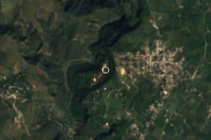
Plan your visit to Los Azufres
Where to stay near Los Azufres
La Venadita Hotel · 3.2 km from the center Prices Eréndira Hotel · 3.7 km from the center PricesTours to Los Azufres
Day trips and guided outings from Angangueo often include Los Azufres; with a local guide you can get there without a car.
 Route of health - the sulfurs from Morelia
From US$119
How to get to Los Azufres
- From Ciudad Hidalgo: about 30 min by road (~27 km)
- 44 km northwest of Angangueo
- Nearest airport: Morelia (MLM), 1 h 42 min by car to Angangueo
Links open a partner site. We may earn a commission if you book, at no cost to you.
Popular tours to Los Azufres
Tours, prices and ratings from Viator, checked weekly. We may earn a commission if you book.
About Los Azufres
Los Azufres is a high, forested volcanic area in the mountains north of Ciudad Hidalgo, where the ground steams, mud pots bubble and dozens of hot springs come to the surface. The springs carry sulfur and other minerals, and their temperatures range from merely warm to near boiling, which is why the area has drawn bathers for generations and why it also feeds one of Mexico's main geothermal power fields.
The landscape is part of the appeal. At well over 2,000 meters, the springs sit among pine and fir forests, small lakes and meadows, and in the morning the steam from the pools mixes with the mist. Around the springs several independent resorts and campgrounds have built pools, jacuzzis, saunas, mud baths and cabins, each with its own style and price.
Most visitors come to soak, but there is more to do: hiking and mountain biking on forest trails, boating on the lakes, camping and even zip lines at some of the parks. It is a cold place, so the hot water feels best on a chilly day, and it pairs well with a winter trip to see the monarchs.
How to get to Los Azufres
Drive from Ciudad Hidalgo: 30 min, 27 km
From Angangueo, drive west through Aporo and Irimbo to Ciudad Hidalgo, then take the state road north into the mountains to Los Azufres; allow about an hour and a half. Buses run to Ciudad Hidalgo, but getting up to the springs is much easier by car. Each resort sets its own entrance fee and hours.
44 km northwest of Angangueo
Directions from Angangueo on Google Maps
Distances are in a straight line; the road is usually longer.
Links open a partner site. We may earn a commission if you book, at no cost to you.
From the nearest cities to Los Azufres
- Ciudad Hidalgo · 27 km by road, 30 min
- Acámbaro · 57 km by road, 55 min
- Morelia · 69 km by road, 1 h 15 min
Drive times by road from OpenStreetMap, without traffic or stops. Times marked ~ are estimated from the straight-line distance.
Before you go to Los Azufres: hours, prices and tips
- Hours
- Hours vary by balneario; Club Tejamaniles opens its pools to day visitors 9 am to 7 pm. adn40 · checked Oct 2026
- Entry
- Each balneario sets its own price; a day pass runs about 70–200 pesos. At Club Tejamaniles it's 90 pesos for adults and 75 for kids aged 1–11. adn40 / Cdmx Secreta · checked Oct 2026
- Time needed
- Fine as a day trip, or stay over a weekend in one of the cabin complexes with hot pools. Cdmx Secreta · checked Oct 2026
- Rules
- Swimming in Laguna Larga, the freshwater lake, is not allowed; at Tejamaniles fishing in the little lake is banned. Cdmx Secreta / adn40 · checked Oct 2026
Hours and prices change, especially around holidays. Each fact links to where we checked it.
Visiting Los Azufres: what to see and do
Soak in the thermal pools and try a mud bath at one of the resorts.
Walk among the steaming vents and bubbling mud pots of the volcanic field.
Hike or bike the pine forest trails, or row on one of the small lakes.
Stay overnight in a cabin and take a hot bath on a cold mountain morning.
Plan your trip
Places to stay in Los Azufres
La Venadita Hotel · 3.2 km from the center Find on Expedia Eréndira Hotel · 3.7 km from the center Find on ExpediaTours & activities
Day trips and guided outings from Angangueo often include Los Azufres; with a local guide you can get there without a car.
Rental cars
Pick up a car at MLM (Morelia): about 1 h 42 min by road to Angangueo, then 44 km more to Los Azufres, on your own schedule.
Flights
The nearest airport with scheduled flights is Morelia (MLM), about 1 h 42 min by road from Angangueo, the base for Los Azufres.
Travel insurance
If you plan on soaking in the pools at Los Azufres, check that your policy covers it: some plans leave adventure activities out.
Mobile data
Signal can drop away from Angangueo: download a map of the way to Los Azufres before you set out, or carry an eSIM with data.
Links open a partner site. We may earn a commission if you book, at no cost to you. Hotel names from OpenStreetMap.
Photos
When to go to Los Azufres cool
Los Azufres shares the climate of Angangueo, 44 km away. The best months to visit are February, March, April, and November.
Warm water feels best when the nights are coldest here (January, February, and December), and those are also the busiest weekends at Los Azufres.
See the month-by-month climate of Angangueo
Weather in Los Azufres now and the next 7 days
Live forecast from Open-Meteo. Chance of rain is the day's highest.
Make Angangueo your base

Los Azufres is an easy trip from Angangueo, a Pueblo Mágico with places to stay, food, and more to see.
Also close to
- Tlalpujahua · Michoacán · 52 km away
- Salvatierra · Guanajuato · 53 km away
- Cuitzeo · Michoacán · 53 km away
- El Oro · Estado de México · 56 km away
- Yuriria · Guanajuato · 68 km away
Closest to Los Azufres
-
Ciudad Hidalgo · City · 15 km away · Michoacán
-
Araró · Hot springs · 22 km away · Near Cuitzeo
-
Acámbaro · Town · 28 km away · Near Salvatierra
-
Tarandacuao · Town · 29 km away · Guanajuato
-
Chupícuaro · Village · 32 km away · Guanajuato
-
San José Purúa · Hot springs · 37 km away
-
Charo · Town · 40 km away · Near Cuitzeo
-
Ocampo · Town · 41 km away


Near Los Azufres
-
Calzada Fray Antonio de San Miguel and Fuente de las Tarascas · Landmark · Michoacán
1 h 15 min drive · 68 km -
Museo del Dulce (Dulces Morelianos de la Calle Real) · Landmark · Michoacán
1 h 15 min drive · 68 km

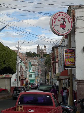


Drive times by road from OpenStreetMap, without traffic. Times marked ~ are estimated from the straight-line distance.
Lists with Los Azufres
Hot Springs in Michoacán · 4 Hot Springs near Ciudad Hidalgo · 3 Hot Springs near Morelia · 3Something wrong or missing on this page? Suggest a fix or addition
Location from OpenStreetMap. Written by Puebloteca.