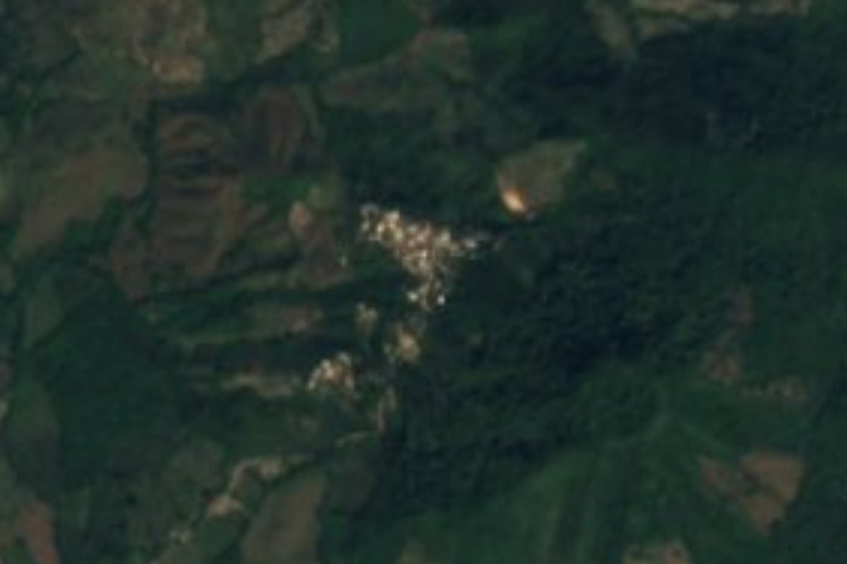
Village Compostela, Nayarit Municipality of Compostela Banderas Bay Riviera Nayarit
Hillside farming village in the Sierra de Vallejo, set among mango groves, and the gateway to the Altavista petroglyphs and La Pila del Rey.
From Puerto Vallarta: 1 h 15 min by car (72 km by road) How to get there ↓
Near here
See everything nearby ↓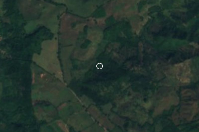

Plan your visit to Altavista
Where to stay near Altavista
Compare hotels, posadas and guest houses in Altavista.
Tours to Altavista
Day trips and guided outings from Compostela often include Altavista; with a local guide you can get there without a car.
 Tours from Sayulita
Yelapa & Secluded Private Beach ALL INCLUSIVE Adventure
★ 4.8 (2,559) · From US$135
How to get to Altavista
- From Puerto Vallarta: about 1 h 15 min by road (~72 km)
- Nearest airport: Tepic (TPQ), 33 min by car to Compostela
Links open a partner site. We may earn a commission if you book, at no cost to you.
Tours from Sayulita, near Altavista


Tours, prices and ratings from Viator, checked weekly. We may earn a commission if you book.
About Altavista
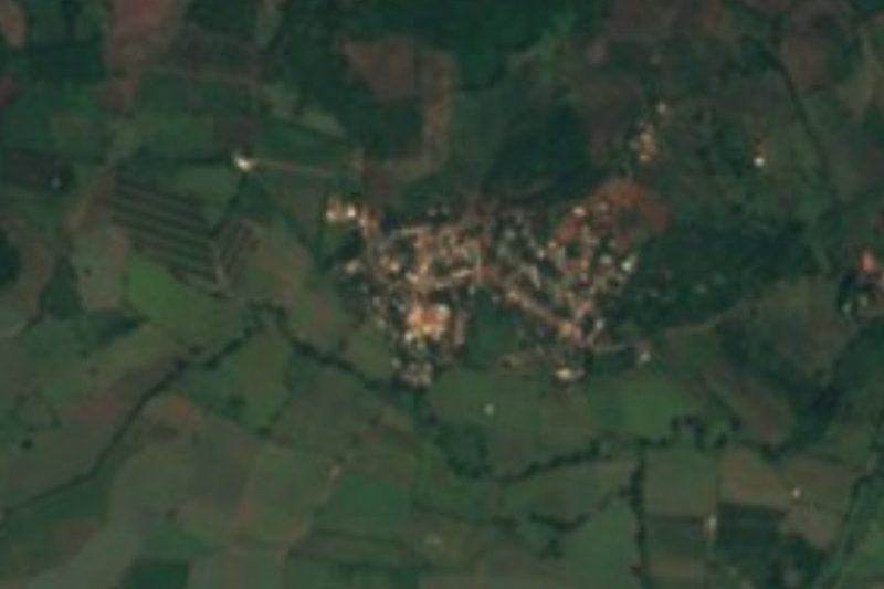
Altavista is a small farming village on the slopes of the Sierra de Vallejo in the municipality of Compostela, Nayarit, inland from the Jaltemba coast. It sits about 7 km off Federal Highway 200, reached by a stretch of the old Puerto Vallarta road and a short local road, around 16 km by road from Las Varas and roughly 30 km north-west of the town of Compostela. The surrounding land is planted with mango orchards, and the village is the last settlement before the forested ravine of the Las Piletas creek.
It is a quiet, shrinking place: 404 people at the 2020 census, down from 446 in 2010, 544 in 2005 and about 700 in 2000. Most homes have a mobile phone, but very few have internet. The climate is warm and humid, a little cooler than the beaches below, with the rain concentrated in summer and August the wettest month.
The reason most visitors come is the archaeological site that carries the village's name. About 2 km to the west, a trail follows the Las Piletas creek up through tropical forest past boulders carved with spirals, circles and faces, the Altavista petroglyphs, ending at La Pila del Rey, a spring-fed pool framed by basalt columns. The carvings are attributed to the Tecoxquines, the people of this coast before the Spanish arrived, and Wixárika (Huichol) pilgrims still bring offerings. From the village a dirt road leads past the mango groves to where cars usually stop; from there it is about 1.7 km on foot, some 45 minutes, to the gate of the fenced site, where a guard collected a small fee of about 20 pesos in 2020.
How to get to Altavista
Drive from Puerto Vallarta: 1 h 15 min, 72 km
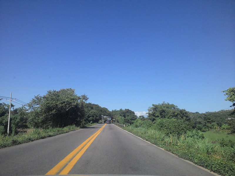
From Puerto Vallarta take Highway 200 north past Bucerías and Rincón de Guayabitos toward Las Varas; from La Peñita it is about 17 km and 20 minutes to Altavista: follow Highway 200 for about 11 km, then turn off onto the old Puerto Vallarta road for about 5 km and a short local road for the last 2 km. From Las Varas it is about 16 km. For the petroglyphs, a dirt road continues from the village past the mango groves; it is fine for about 900 m, after which deep ruts usually mean parking and walking about 1.7 km (45 minutes) to the site gate.
Directions to Altavista on Google Maps
Distances are in a straight line; the road is usually longer.
Links open a partner site. We may earn a commission if you book, at no cost to you.
From the nearest cities to Altavista
- Puerto Vallarta · 72 km by road, 1 h 15 min
- Tepic · 90 km by road, 1 h 20 min
- Guadalajara · 228 km by road, 2 h 50 min
Drive times by road from OpenStreetMap, without traffic or stops. Times marked ~ are estimated from the straight-line distance.
Before you go to Altavista: hours, prices and tips
- Entry
- The petroglyph site charged about 20 pesos per person at the gate in 2020; the village itself is free. Mexico News Daily · checked Oct 2026
- Best time of day
- Visit the petroglyphs in the morning or late afternoon: the overhead midday sun washes out the relief of the carvings. PV Angels · checked Oct 2026
- Best season
- Warm all year, about 23.4 °C on average, with about 1,200 mm of rain; the rain falls mostly in summer, August is the wettest month and January the coolest. PueblosAmerica · checked Oct 2026
- Rules
- The petroglyph site is still used for Wixárika ceremonies: do not bring food or drink, and leave offerings untouched. PV Angels · checked Oct 2026
Hours and prices change, especially around holidays. Each fact links to where we checked it.
Visiting Altavista: what to see and do
Walk up the Las Piletas creek to the Altavista petroglyphs, about 56 carvings in the visitor area.
Cool off beside La Pila del Rey, the spring-fed pool ringed by basalt columns at the end of the trail.
Stroll through the mango groves around the village, in bloom early in the year.
Combine the trip with the beaches of La Peñita de Jaltemba and Rincón de Guayabitos, about 20 minutes away.
Plan your trip
Places to stay in Altavista
Compare hotels, posadas, and rentals in and around Altavista.
Tours & activities
Day trips and guided outings from Compostela often include Altavista; with a local guide you can get there without a car.
Rental cars
Pick up a car at TPQ (Tepic): about 33 min by road to Compostela, then 31 km more to Altavista, on your own schedule.
Flights
The nearest airport with scheduled flights is Tepic (TPQ), about 33 min by road from Compostela, the base for Altavista.
Mobile data
Signal can drop away from Compostela: download a map of the way to Altavista before you set out, or carry an eSIM with data.
Links open a partner site. We may earn a commission if you book, at no cost to you.
When to go to Altavista mild
Altavista shares the climate of Compostela, 31 km away. The best months to visit are March, April, May, and December.
See the month-by-month climate of Compostela
Weather in Altavista now and the next 7 days
Live forecast from Open-Meteo. Chance of rain is the day's highest.
The closest Pueblo Mágico: Compostela
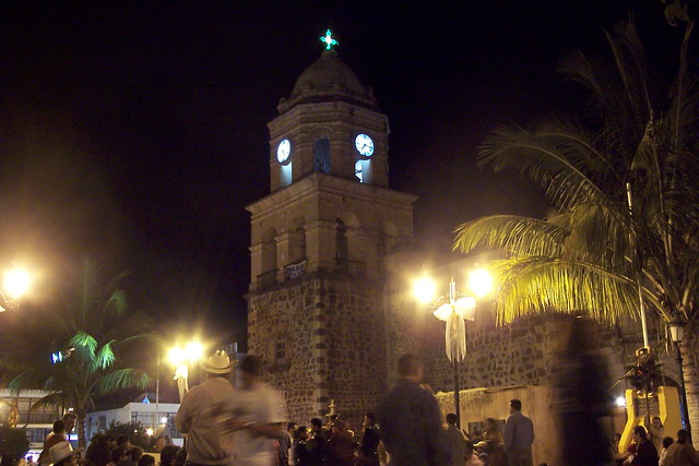
Compostela is the Pueblo Mágico closest to Altavista, with places to stay, food, and more to see.
Also close to
- Sayulita · Nayarit · 39 km away
- San Blas · Nayarit · 53 km away
- Ahuacatlán · Nayarit · 69 km away
- Ixtlán del Río · Nayarit · 73 km away
- Mascota · Jalisco · 73 km away
Closest to Altavista
-
Petroglifos de Altavista · Archaeological site · 2 km away
-
El Capomo · Village · 4 km away
-
La Puerta de la Lima · Village · 4 km away
-
Lima de Abajo · Village · 6 km away
-
Playa El Naranjo · Beach · 9 km away
-
Las Varas · Town · 11 km away
-
Playa Las Cuevas · Beach · 11 km away
-
Chacala · Town · 12 km away


Near Altavista


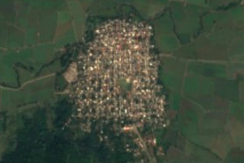

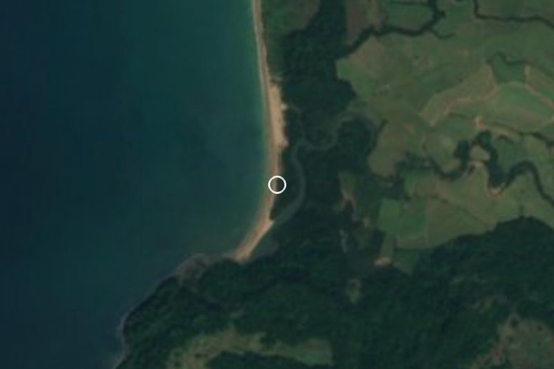

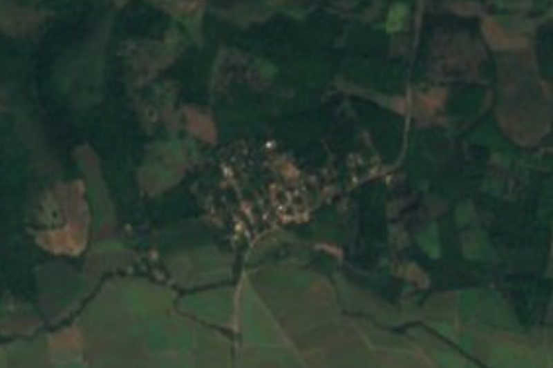
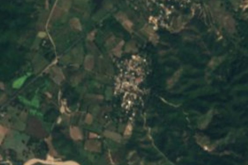

Drive times by road from OpenStreetMap, without traffic. Times marked ~ are estimated from the straight-line distance.
Location from OpenStreetMap. Written by Puebloteca.