

Village Compostela, Nayarit Municipality of Compostela Banderas Bay Riviera Nayarit
A small, growing village on Highway 200 next to Villa Morelos, at the junction with the toll road from Puerto Vallarta, below the Sierra de Vallejo.
From Puerto Vallarta: 55 min by car (73 km by road) How to get there ↓
Near here
See everything nearby ↓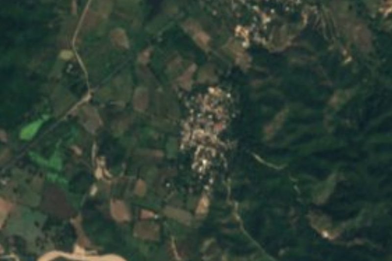


Plan your visit to Chula Vista
Where to stay near Chula Vista
Compare hotels, posadas and guest houses in Chula Vista.
Tours to Chula Vista
Day trips and guided outings from Sayulita often include Chula Vista; with a local guide you can get there without a car.
 Tours from Sayulita
Yelapa & Secluded Private Beach ALL INCLUSIVE Adventure
★ 4.8 (2,559) · From US$135
How to get to Chula Vista
- From Puerto Vallarta: about 55 min by road (~73 km)
- Nearest airport: Puerto Vallarta (PVR), 41 min by car to Sayulita
Links open a partner site. We may earn a commission if you book, at no cost to you.
Tours from Sayulita, near Chula Vista


Tours, prices and ratings from Viator, checked weekly. We may earn a commission if you book.
About Chula Vista
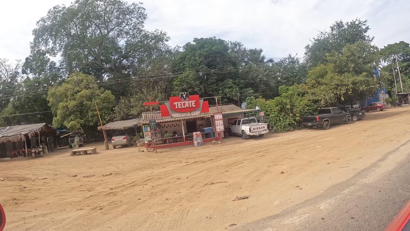
Chula Vista, written Chulavista in the census, is a small village at the southern edge of the municipality of Compostela, Nayarit, on Highway 200 about 28 km north of Sayulita. It sits just north of the larger village of Villa Morelos, with the forested slopes of the Sierra de Vallejo, a state biosphere reserve, rising to the east. Its name means "pretty view", and two of its streets are Vista de la Cruz and Vista Vallejo.
It has grown quickly. The census counted 256 people in 2005, 282 in 2010 and 398 in 2020. Photos of Delta Air Lines' 13th Global Build with Habitat for Humanity, from April 2017, show volunteers raising block houses and are tagged Chulavista, Nayarit. The village has a primary school, Benito Juárez, and a community preschool run by CONAFE, and its postal code is 63724.
There is nothing to see in the village itself, but its position makes it a handy reference point. Just north of it is the La Florida junction, where the Las Varas–Puerto Vallarta toll road (200D) meets Highway 200, and the beaches of Jaltemba Bay begin about 10 km up the road at Los Ayala, with Rincón de Guayabitos and La Peñita beyond. Monteón and the Punta Raza turtle camp are a short drive north, and Lo de Marcos is a few minutes south.
How to get to Chula Vista
Drive from Puerto Vallarta: 55 min, 73 km
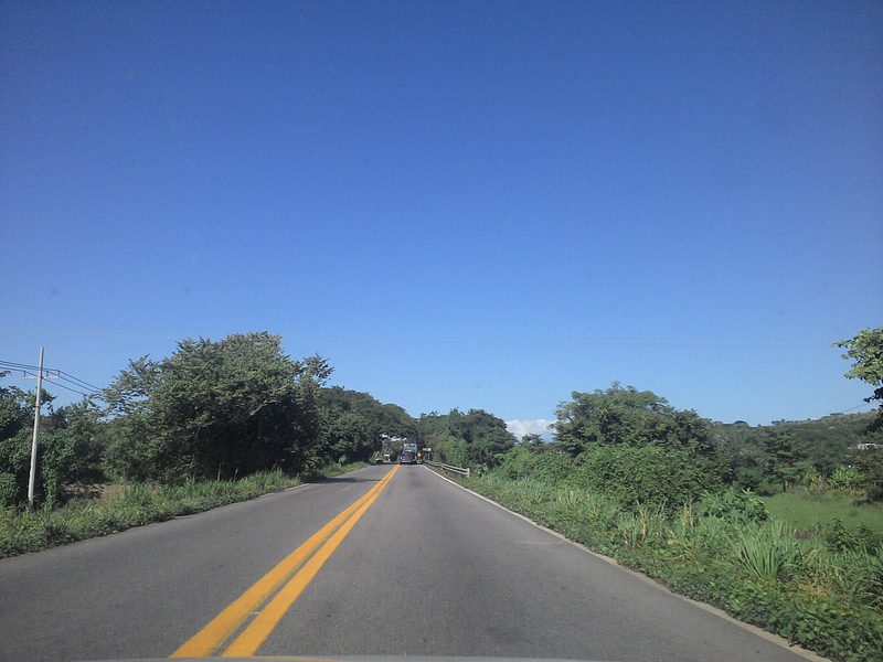
Chula Vista is on Highway 200 about 28 km (some 30 minutes) north of Sayulita, beside Villa Morelos. Coming from Puerto Vallarta on the Las Varas–Puerto Vallarta toll road (200D), leave it at the La Florida junction just north of the village. Second-class Compostela buses between Puerto Vallarta and Tepic stop along Highway 200 wherever passengers ask.
Directions to Chula Vista on Google Maps
Distances are in a straight line; the road is usually longer.
Links open a partner site. We may earn a commission if you book, at no cost to you.
From the nearest cities to Chula Vista
- Puerto Vallarta · 73 km by road, 55 min
- Tepic · 107 km by road, 1 h 30 min
- Guadalajara · 244 km by road, 3 h
Drive times by road from OpenStreetMap, without traffic or stops. Times marked ~ are estimated from the straight-line distance.
Before you go to Chula Vista: hours, prices and tips
- Best season
- Turtles nest on this coast from about June to February; the volunteer camp at Punta Raza, near Monteón, collects and protects olive ridley eggs. PV Angels (Riviera Nayarit CVB article) · checked Oct 2026
Hours and prices change, especially around holidays. Each fact links to where we checked it.
Visiting Chula Vista: what to see and do
See the forested Sierra de Vallejo reserve that rises east of the village.
Drive about 10 km north to the calm beach of Los Ayala.
Visit the Punta Raza turtle camp near Monteón in season.
Head a few minutes south to the beaches of Lo de Marcos.
Plan your trip
Places to stay in Chula Vista
Compare hotels, posadas, and rentals in and around Chula Vista.
Tours & activities
Day trips and guided outings from Sayulita often include Chula Vista; with a local guide you can get there without a car.
Rental cars
Pick up a car at PVR (Puerto Vallarta): about 41 min by road to Sayulita, then 17 km more to Chula Vista, on your own schedule.
Flights
The nearest airport with scheduled flights is Puerto Vallarta (PVR), about 41 min by road from Sayulita, the base for Chula Vista.
Mobile data
Signal can drop away from Sayulita: download a map of the way to Chula Vista before you set out, or carry an eSIM with data.
Links open a partner site. We may earn a commission if you book, at no cost to you.
When to go to Chula Vista warm
Chula Vista shares the climate of Sayulita, 17 km away. The best months to visit are March, April, May, and November.
See the month-by-month climate of Sayulita
Weather in Chula Vista now and the next 7 days
Live forecast from Open-Meteo. Chance of rain is the day's highest.
The closest Pueblo Mágico: Sayulita

Sayulita is the Pueblo Mágico closest to Chula Vista, with places to stay, food, and more to see.
Also close to
- Compostela · Nayarit · 53 km away
- San Blas · Nayarit · 64 km away
- Mascota · Jalisco · 73 km away
Closest to Chula Vista
-
Villa Morelos · Village · 1 km away
-
El Monteón · Village · 3 km away
-
Úrsulo Galván · Village · 3 km away
-
Lo de Marcos · Town · 4 km away
-
Playa Las Minitas · Beach · 5 km away
-
Playa Los Venados · Beach · 6 km away
-
Playa Punta Raza · Beach · 6 km away
-
Playa del Beso · Beach · 7 km away


Near Chula Vista







Drive times by road from OpenStreetMap, without traffic. Times marked ~ are estimated from the straight-line distance.
Location from OpenStreetMap. Written by Puebloteca.