

Beach Bahía de Banderas, Nayarit Municipality of Bahía de Banderas Banderas Bay Riviera Nayarit
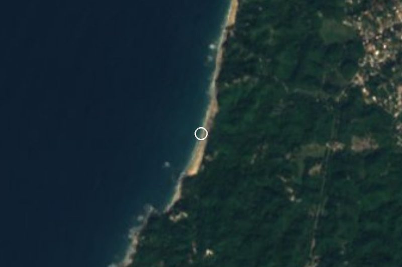
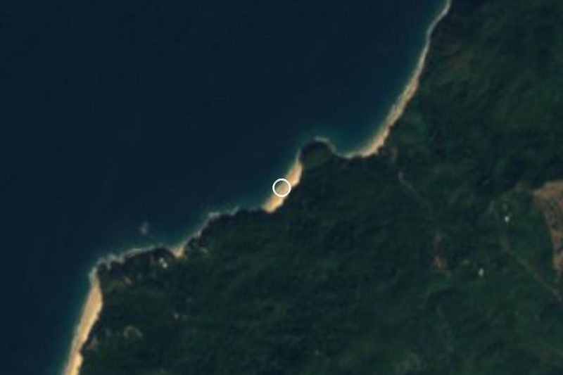
A wild, mile-long beach between Sayulita and San Pancho, reached on foot by a jungle trail; strong rip currents make swimming dangerous.
From Puerto Vallarta: 50 min by car (61 km by road) How to get there ↓
Near here
See everything nearby ↓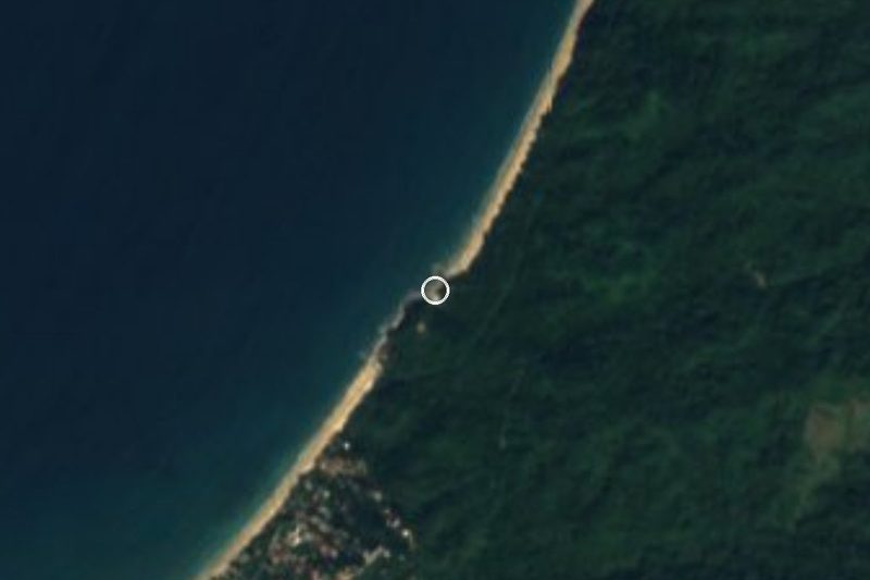

Plan your visit to Playa Malpaso
Where to stay near Playa Malpaso
Compare hotels, posadas and guest houses in Playa Malpaso.
Tours to Playa Malpaso
Day trips and guided outings from Sayulita often include Playa Malpaso; with a local guide you can get there without a car.
 Tours from Sayulita
Yelapa & Secluded Private Beach ALL INCLUSIVE Adventure
★ 4.8 (2,559) · From US$135
How to get to Playa Malpaso
- From Puerto Vallarta: about 50 min by road (~61 km)
- Nearest airport: Puerto Vallarta (PVR), 41 min by car to Sayulita
Links open a partner site. We may earn a commission if you book, at no cost to you.
Tours from Sayulita, near Playa Malpaso


Tours, prices and ratings from Viator, checked weekly. We may earn a commission if you book.
About Playa Malpaso
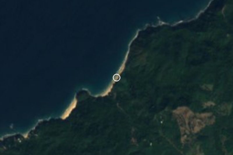
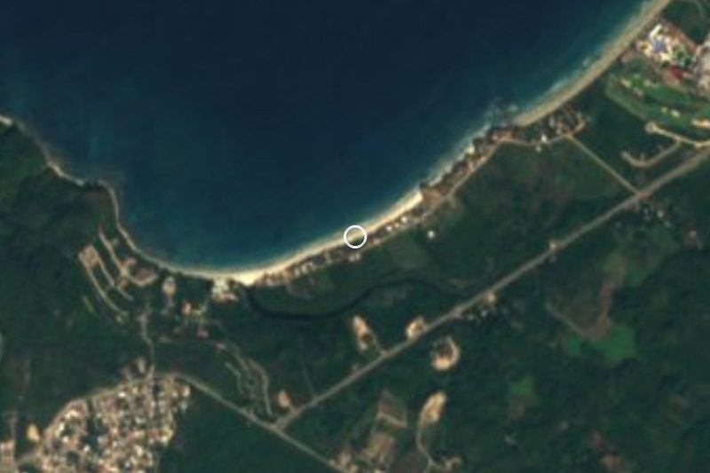
Playa Malpaso is a largely undeveloped beach that runs for about a mile from the northern end of Sayulita to the southern edge of San Pancho, backed by jungle and closed off by rocky cliffs. It lies just beyond Playa Las Cuevas, a small cove, about two miles north of Sayulita's main beach, and it has none of the bustle of either town: no hotels, no beach restaurants, no rows of sunbeds or vendors, only a few simple shade structures.
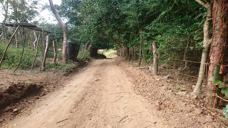
You get there on foot. The popular route climbs from the far north end of Sayulita beach over a headland and through the forest, with views down onto Las Cuevas and Malpaso along the way. An inland route follows Avenida del Palmar across the river and past the campsites and school to the end of the road, then a dirt path; about fifty meters past a fork, the left branch drops to Las Cuevas and the right one climbs over the hill to Malpaso. At low tide you can also pass from Las Cuevas through a natural rock arch, but watch the tide so you are not cut off. Construction at Malpaso has changed the inland route, so check locally before setting out.
The beach is fully exposed to the Pacific, with strong undertow and rip currents, and swimming here is not recommended. It is a place to walk, picnic and watch the sunset, with very few people around even in the middle of the day.
How to get to Playa Malpaso
Drive from Puerto Vallarta: 50 min, 61 km
Malpaso is reached on foot from Sayulita. Walk to the far north end of Sayulita beach and take the trail over the headland and through the jungle, or follow Avenida del Palmar across the river, past the campsites and school, to the end of the road and the dirt path beyond; at the fork about 50 m along, keep right and go over the hill. Ongoing construction has altered the inland route, so ask locally first.
Directions to Playa Malpaso on Google Maps
Distances are in a straight line; the road is usually longer.
Links open a partner site. We may earn a commission if you book, at no cost to you.
From the nearest cities to Playa Malpaso
- Puerto Vallarta · 61 km by road, 50 min
- Tepic · 122 km by road, 1 h 45 min
- Autlán · about 215 km by road, ~3 h 10 min
Drive times by road from OpenStreetMap, without traffic or stops. Times marked ~ are estimated from the straight-line distance.
Before you go to Playa Malpaso: hours, prices and tips
- Best time of day
- At low tide you can walk from Las Cuevas through a natural rock arch; watch the tide so you don't get stranded. Sayulita Life · checked Oct 2026
- What to bring
- Water and food: there are no restaurants or services on the beach. Sayulita Life suggests carrying about 3 liters of water for a day of hiking. Sayulita Life · checked Oct 2026
- Rules
- Swimming is not recommended: the beach has strong undertow and rip currents. Construction has changed the inland trail, so check conditions locally before you go. Sayulita Life · checked Oct 2026
Hours and prices change, especially around holidays. Each fact links to where we checked it.
Visiting Playa Malpaso: what to see and do
Hike the headland trail from the north end of Sayulita beach for views over Las Cuevas and Malpaso.
Pass through the rock arch from Las Cuevas at low tide, keeping an eye on the tide.
Picnic on an almost empty beach; there are no restaurants, so bring your own food and water.
Watch the sunset, one of the area's suggested sunset spots in the rainy season.
Plan your trip
Places to stay in Playa Malpaso
Compare hotels, posadas, and rentals in and around Playa Malpaso.
Tours & activities
Day trips and guided outings from Sayulita often include Playa Malpaso; with a local guide you can get there without a car.
Rental cars
Pick up a car at PVR (Puerto Vallarta): about 41 min by road to Sayulita, then 3 km more to Playa Malpaso, on your own schedule.
Flights
The nearest airport with scheduled flights is Puerto Vallarta (PVR), about 41 min by road from Sayulita, the base for Playa Malpaso.
Travel insurance
If you plan on swimming or surfing at Playa Malpaso, check that your policy covers it: some plans leave adventure activities out.
Mobile data
Signal can drop away from Sayulita: download a map of the way to Playa Malpaso before you set out, or carry an eSIM with data.
Links open a partner site. We may earn a commission if you book, at no cost to you.
When to go to Playa Malpaso warm
Playa Malpaso shares the climate of Sayulita, 3 km away. The best months to visit are March, April, May, and November.
Playa Malpaso is best for swimming and time on the water in the warmest months (June, July, and August); in the rainiest ones (July, August, and September) expect storms in the afternoon.
See the month-by-month climate of Sayulita
Weather in Playa Malpaso now and the next 7 days
Live forecast from Open-Meteo. Chance of rain is the day's highest.
The closest Pueblo Mágico: Sayulita

Sayulita is the Pueblo Mágico closest to Playa Malpaso, with places to stay, food, and more to see.
Also close to
- Compostela · Nayarit · 67 km away
- San Blas · Nayarit · 74 km away
- Mascota · Jalisco · 78 km away
Closest to Playa Malpaso
-
Playa Las Cuevas · Beach · 1 km away
-
San Pancho · Town · 2 km away
-
Playa Patzcuarito · Beach · 5 km away
-
San Ignacio · Village · 5 km away
-
Playa Pátzcuaro · Beach · 6 km away
-
Playa de Barro · Beach · 6 km away
-
Punta Monterrey · Beach · 7 km away
-
San Quintín · Village · 7 km away
Near Playa Malpaso






Drive times by road from OpenStreetMap, without traffic. Times marked ~ are estimated from the straight-line distance.
Lists with Playa Malpaso
Beaches in Nayarit · 25 Beaches near Sayulita · 42 Beaches near Puerto Vallarta · 40Location from OpenStreetMap. Written by Puebloteca.