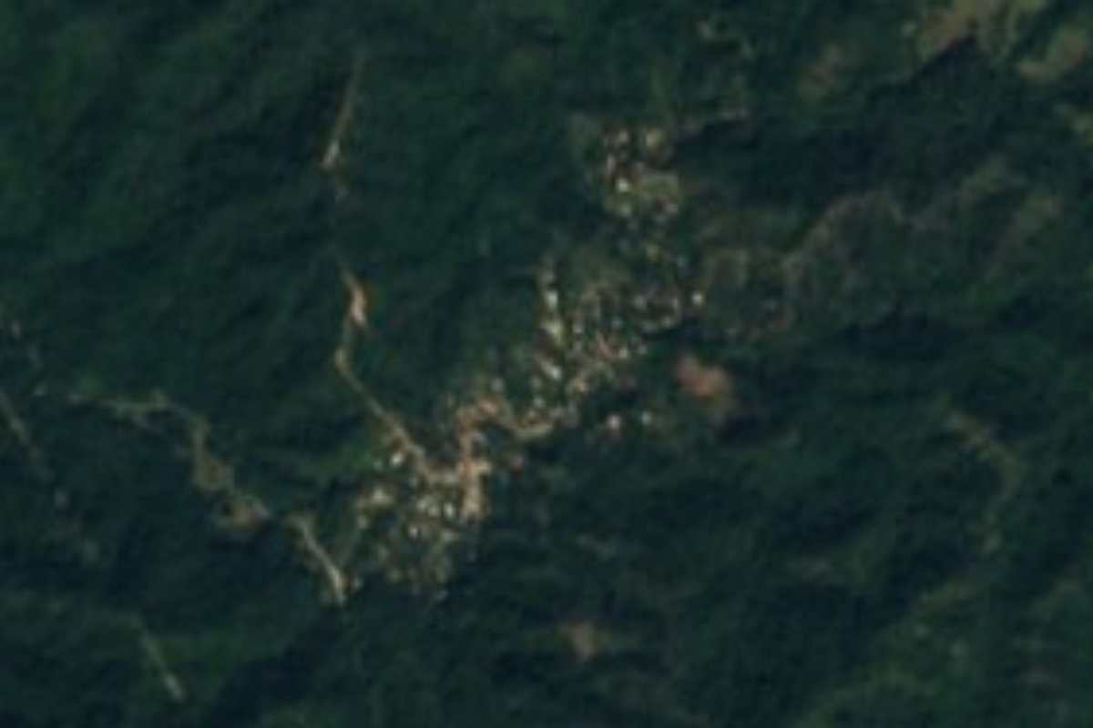
Village Bahía de Banderas, Nayarit Municipality of Bahía de Banderas Banderas Bay Riviera Nayarit
A fast-growing roadside village in the hills on Highway 200 between Bucerías and Sayulita, about 280 m up, with schools and everyday life.
From Puerto Vallarta: 40 min by car (50 km by road) How to get there ↓
Near here
See everything nearby ↓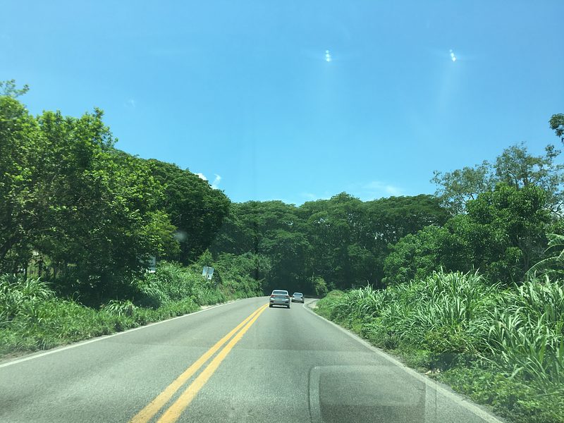


Plan your visit to El Guamúchil
Where to stay near El Guamúchil
Compare hotels, posadas and guest houses in El Guamúchil.
Tours to El Guamúchil
Day trips and guided outings from Sayulita often include El Guamúchil; with a local guide you can get there without a car.
 Tours from Sayulita
Yelapa & Secluded Private Beach ALL INCLUSIVE Adventure
★ 4.8 (2,559) · From US$135
How to get to El Guamúchil
- From Puerto Vallarta: about 40 min by road (~50 km)
- Nearest airport: Puerto Vallarta (PVR), 41 min by car to Sayulita
Links open a partner site. We may earn a commission if you book, at no cost to you.
Tours from Sayulita, near El Guamúchil


Tours, prices and ratings from Viator, checked weekly. We may earn a commission if you book.
About El Guamúchil
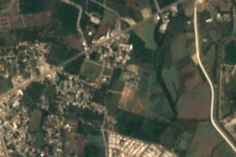
El Guamúchil is a village in the hills of the municipality of Bahía de Banderas, beside federal Highway 200 on the stretch that climbs from the bay at Bucerías and La Cruz de Huanacaxtle over to Sayulita and the Pacific coast. It sits at roughly 280 meters above sea level, about eight kilometers in a straight line from Sayulita, from La Cruz de Huanacaxtle and from Bucerías, with the newer Las Varas to Puerto Vallarta toll road passing just to the north.
Like its neighbors along the highway, San Quintín and Palmarito a couple of kilometers to the northwest and San Ignacio a little farther on, it has grown quickly with the tourism boom on this coast. The census counted 328 people in 2005, 387 in 2010 and 675 in 2020, living in 164 occupied homes, and more than half of the residents were born outside Nayarit. In ten years the share of homes with piped water rose from about two thirds to almost all, and the share of adults with paid work went from under a third to about half.
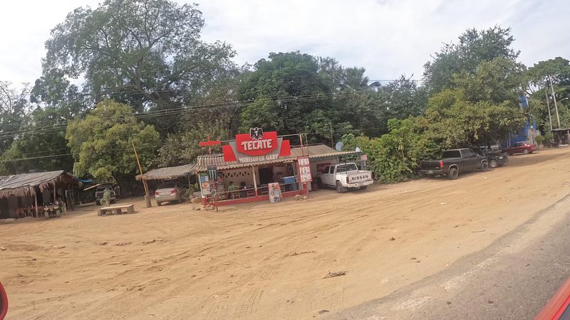
There is nothing touristic here: a kindergarten and two primary schools, unpaved streets of new houses and the hum of the highway. For travelers it is simply a glimpse of the everyday Mexico behind the Riviera Nayarit, a few minutes from the beaches; Sayulita is about 17 km by road, and the nearest hotels are in Bucerías and La Cruz, nine to ten kilometers away.
How to get to El Guamúchil
Drive from Puerto Vallarta: 40 min, 50 km
El Guamúchil lies beside federal Highway 200 (Carretera Tepic–Puerto Vallarta) between Bucerías and Sayulita. From Sayulita it is about 17 km by road, around a quarter of an hour by car; from Bucerías and La Cruz de Huanacaxtle, take Highway 200 north into the hills.
Directions to El Guamúchil on Google Maps
Distances are in a straight line; the road is usually longer.
Links open a partner site. We may earn a commission if you book, at no cost to you.
From the nearest cities to El Guamúchil
- Puerto Vallarta · 50 km by road, 40 min
- Tepic · 135 km by road, 1 h 55 min
- Autlán · about 205 km by road, ~3 h
Drive times by road from OpenStreetMap, without traffic or stops. Times marked ~ are estimated from the straight-line distance.
Before you go to El Guamúchil: hours, prices and tips
- Best season
- Warm all year, about 23 °C on average: January is the coolest month (about 20.5 °C) and July the warmest; most of the roughly 1,300 mm of yearly rain falls in summer. PueblosAmerica · checked Oct 2026
Hours and prices change, especially around holidays. Each fact links to where we checked it.
Visiting El Guamúchil: what to see and do
Stop on Highway 200 to see a working village behind the resort coast.
Continue to Sayulita, about 17 km by road, for the surf town and its beaches.
Head down to La Cruz de Huanacaxtle or Bucerías on Banderas Bay for seafood and the waterfront.
Visit neighboring San Ignacio for cheap roadside food.
Plan your trip
Places to stay in El Guamúchil
Compare hotels, posadas, and rentals in and around El Guamúchil.
Tours & activities
Day trips and guided outings from Sayulita often include El Guamúchil; with a local guide you can get there without a car.
Rental cars
Pick up a car at PVR (Puerto Vallarta): about 41 min by road to Sayulita, then 8 km more to El Guamúchil, on your own schedule.
Flights
The nearest airport with scheduled flights is Puerto Vallarta (PVR), about 41 min by road from Sayulita, the base for El Guamúchil.
Mobile data
Signal can drop away from Sayulita: download a map of the way to El Guamúchil before you set out, or carry an eSIM with data.
Links open a partner site. We may earn a commission if you book, at no cost to you.
When to go to El Guamúchil warm
El Guamúchil shares the climate of Sayulita, 8 km away. The best months to visit are March, April, May, and November.
See the month-by-month climate of Sayulita
Weather in El Guamúchil now and the next 7 days
Live forecast from Open-Meteo. Chance of rain is the day's highest.
The closest Pueblo Mágico: Sayulita

Sayulita is the Pueblo Mágico closest to El Guamúchil, with places to stay, food, and more to see.
Also close to
- Compostela · Nayarit · 68 km away
- Mascota · Jalisco · 70 km away
- Talpa de Allende · Jalisco · 76 km away
Closest to El Guamúchil
-
San Quintín · Village · 2 km away
-
San Ignacio · Village · 5 km away
-
Cerro del Mono · Mountain · 8 km away
-
La Cruz de Huanacaxtle · Town · 8 km away
-
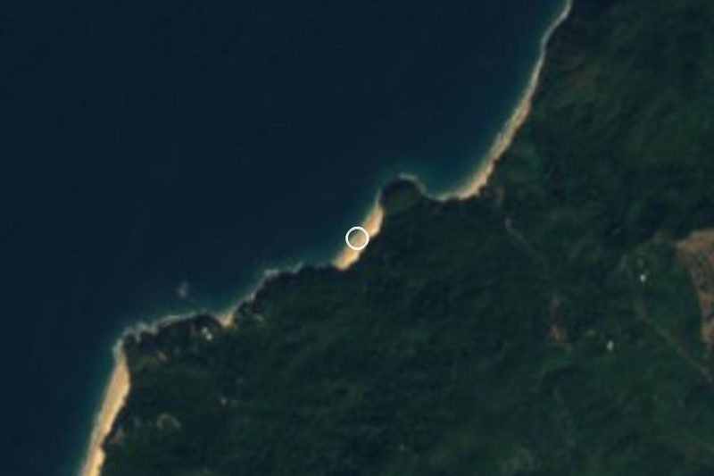
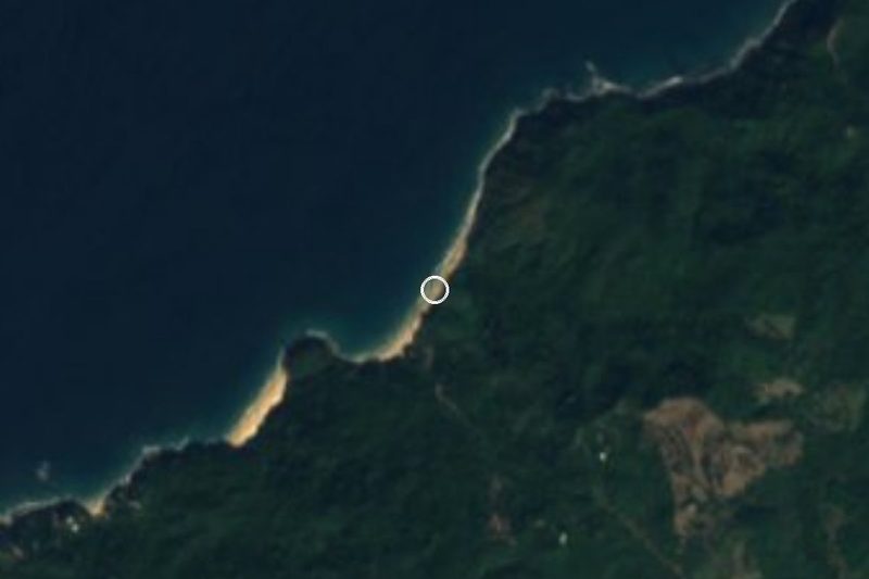
Playa La Manzanilla · Beach · 8 km away
-
Playa Las Cuevas · Beach · 8 km away
-
Bucerías · Town · 9 km away
-
Higuera Blanca · Town · 9 km away

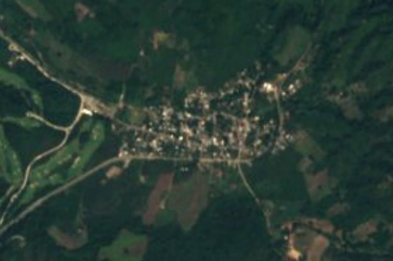
Near El Guamúchil

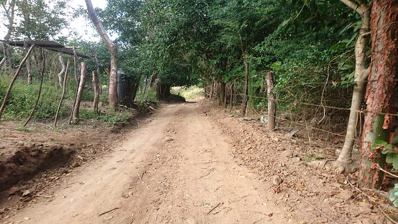




Drive times by road from OpenStreetMap, without traffic. Times marked ~ are estimated from the straight-line distance.
Location from OpenStreetMap. Written by Puebloteca.