Village Bahía de Banderas, Nayarit Municipality of Bahía de Banderas Banderas Bay Riviera Nayarit
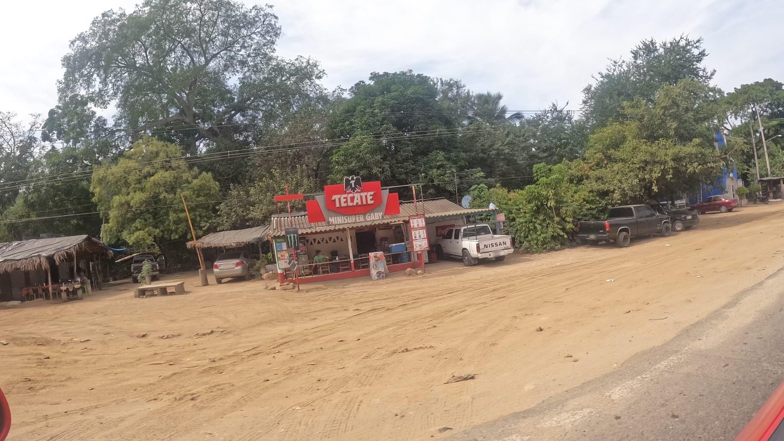
A fast-growing village on Highway 200 beside the Sayulita River, about 5 km by road from Sayulita, with fondas and taquerías.
From Puerto Vallarta: 45 min by car (55 km by road) How to get there ↓
Near here
See everything nearby ↓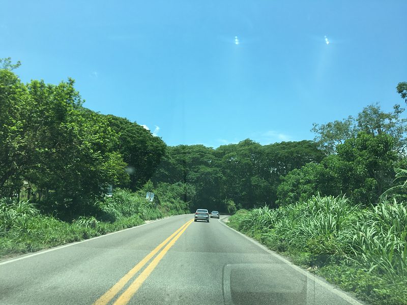
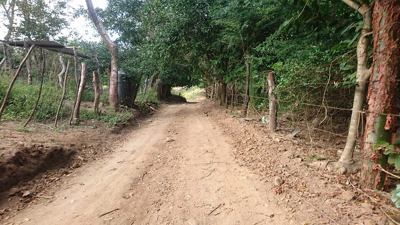

Plan your visit to San Ignacio
Where to stay near San Ignacio
Compare hotels, posadas and guest houses in San Ignacio.
Tours to San Ignacio
Day trips and guided outings from Sayulita often include San Ignacio; with a local guide you can get there without a car.
 Tours from Sayulita
Yelapa & Secluded Private Beach ALL INCLUSIVE Adventure
★ 4.8 (2,559) · From US$135
How to get to San Ignacio
- From Puerto Vallarta: about 45 min by road (~55 km)
- Nearest airport: Puerto Vallarta (PVR), 41 min by car to Sayulita
Links open a partner site. We may earn a commission if you book, at no cost to you.
Tours from Sayulita, near San Ignacio


Tours, prices and ratings from Viator, checked weekly. We may earn a commission if you book.
About San Ignacio
San Ignacio is a roadside village on federal Highway 200, the Tepic to Puerto Vallarta road, about three kilometers southeast of Sayulita in a straight line and some five kilometers by road. It sits at about 60 meters above sea level beside the Sayulita River, which runs down from the hills to the sea at Sayulita, and its neighbors along the highway include Palmarito and San Quintín. It belongs to the municipality of Bahía de Banderas, whose seat, Valle de Banderas, is about 22 kilometers away.
Few places in the area have grown so fast. The 1970 census counted just three people here and the 1980 census about a hundred; by 2010 there were 610, and in 2020, 1,362, living in 347 occupied homes. Over the same decade the share of adults with paid work rose from under 40 percent to 55 percent, and average schooling went up by more than a year, a sign of how the boom of the Sayulita and Punta de Mita coast has spread inland. The village takes its name from its patron saint, Ignatius of Loyola.
San Ignacio has no hotels; the nearest are in Sayulita, a few minutes away. What it does have is everyday Mexican food at local prices: fondas, antojitos, roast chicken, taquerías and a restaurant-bar, most of them along Avenida Las Palmas. There is a kindergarten and a school. For travelers it is a place to stop for a cheap meal on the highway before or after the beach.
How to get to San Ignacio
Drive from Puerto Vallarta: 45 min, 55 km
San Ignacio lies on Highway 200 between Puerto Vallarta and Tepic, about 5 km and five minutes by car from Sayulita. Valle de Banderas, the municipal seat, is about 22 km away.
Directions to San Ignacio on Google Maps
Distances are in a straight line; the road is usually longer.
Links open a partner site. We may earn a commission if you book, at no cost to you.
From the nearest cities to San Ignacio
- Puerto Vallarta · 55 km by road, 45 min
- Tepic · 128 km by road, 1 h 50 min
- Autlán · about 210 km by road, ~3 h 5 min
Drive times by road from OpenStreetMap, without traffic or stops. Times marked ~ are estimated from the straight-line distance.
Visiting San Ignacio: what to see and do
Eat at the fondas and taquerías along Avenida Las Palmas.
Drive five minutes to Sayulita, where the Sayulita River meets the sea.
Stop for roast chicken or antojitos on the highway before or after the beach.
Plan your trip
Places to stay in San Ignacio
Compare hotels, posadas, and rentals in and around San Ignacio.
Tours & activities
Day trips and guided outings from Sayulita often include San Ignacio; with a local guide you can get there without a car.
Rental cars
Pick up a car at PVR (Puerto Vallarta): about 41 min by road to Sayulita, then 3 km more to San Ignacio, on your own schedule.
Flights
The nearest airport with scheduled flights is Puerto Vallarta (PVR), about 41 min by road from Sayulita, the base for San Ignacio.
Mobile data
Signal can drop away from Sayulita: download a map of the way to San Ignacio before you set out, or carry an eSIM with data.
Links open a partner site. We may earn a commission if you book, at no cost to you.
When to go to San Ignacio warm
San Ignacio shares the climate of Sayulita, 3 km away. The best months to visit are March, April, May, and November.
See the month-by-month climate of Sayulita
Weather in San Ignacio now and the next 7 days
Live forecast from Open-Meteo. Chance of rain is the day's highest.
The closest Pueblo Mágico: Sayulita

Sayulita is the Pueblo Mágico closest to San Ignacio, with places to stay, food, and more to see.
Also close to
- Compostela · Nayarit · 69 km away
- Mascota · Jalisco · 75 km away
- San Blas · Nayarit · 78 km away
Closest to San Ignacio
-
San Quintín · Village · 2 km away
-
Playa Las Cuevas · Beach · 4 km away
-
Playa Patzcuarito · Beach · 4 km away
-
Playa Pátzcuaro · Beach · 4 km away
-
Cerro del Mono · Mountain · 5 km away
-
El Guamúchil · Village · 5 km away
-
Playa Malpaso · Beach · 5 km away
-
San Pancho · Town · 6 km away


Near San Ignacio




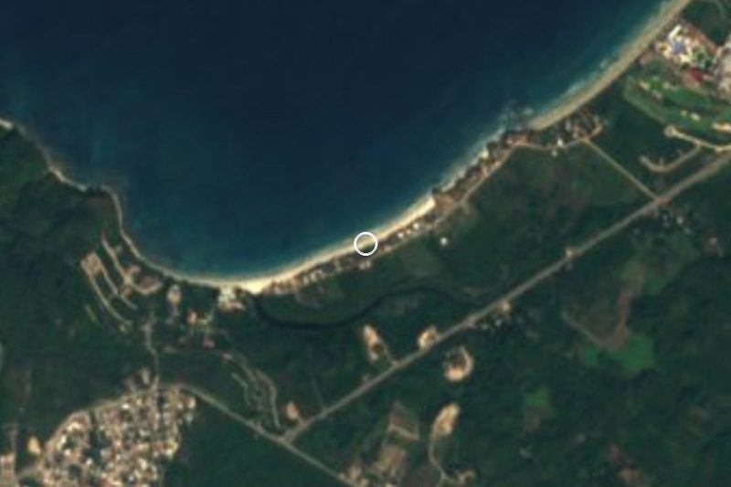
Drive times by road from OpenStreetMap, without traffic. Times marked ~ are estimated from the straight-line distance.
Location from OpenStreetMap. Written by Puebloteca.