Village Bahía de Banderas, Nayarit Municipality of Bahía de Banderas Banderas Bay Riviera Nayarit
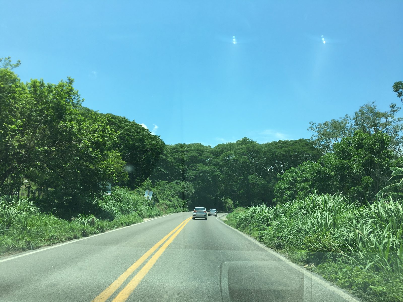
A small hamlet on Highway 200 a few kilometers inland from Sayulita, which more than tripled in size between 2005 and 2020.
From Puerto Vallarta: 40 min by car (52 km by road) How to get there ↓
Near here
See everything nearby ↓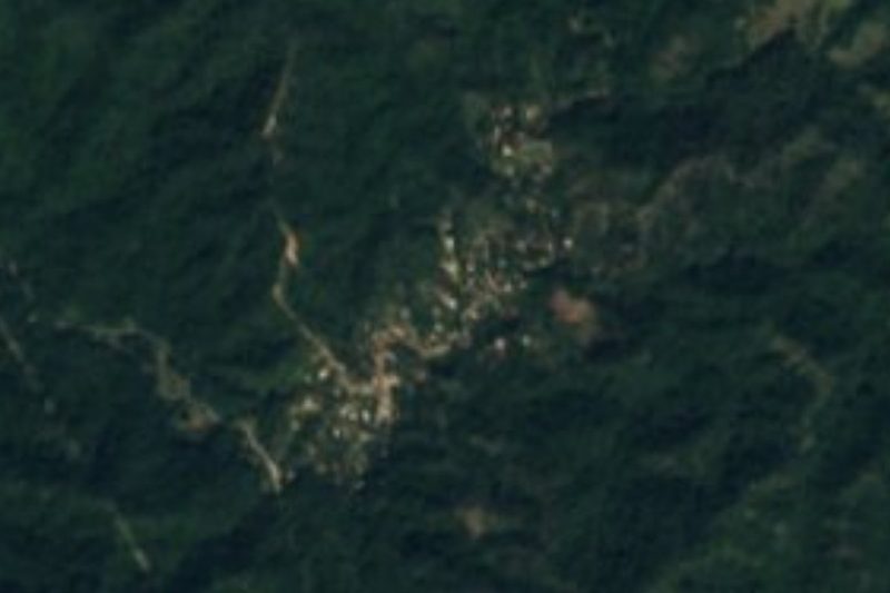

Plan your visit to San Quintín
Where to stay near San Quintín
Compare hotels, posadas and guest houses in San Quintín.
Tours to San Quintín
Day trips and guided outings from Sayulita often include San Quintín; with a local guide you can get there without a car.
 Tours from Sayulita
Yelapa & Secluded Private Beach ALL INCLUSIVE Adventure
★ 4.8 (2,559) · From US$135
How to get to San Quintín
- From Puerto Vallarta: about 40 min by road (~52 km)
- Nearest airport: Puerto Vallarta (PVR), 41 min by car to Sayulita
Links open a partner site. We may earn a commission if you book, at no cost to you.
Tours from Sayulita, near San Quintín


Tours, prices and ratings from Viator, checked weekly. We may earn a commission if you book.
About San Quintín
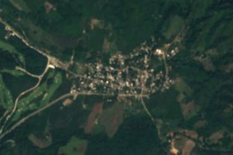
San Quintín is a small settlement in the hills of the municipality of Bahía de Banderas, on federal Highway 200 a few kilometers inland from Sayulita. It is one of a row of roadside communities on the stretch between Bucerías and Sayulita: Palmarito lies just 600 meters away, San Ignacio about two and a half kilometers to the northwest, and El Guamúchil a similar distance to the southeast. Sayulita and its beaches are about seven kilometers away, and La Cruz de Huanacaxtle, on Banderas Bay, about nine kilometers to the south.
Its story is one of very recent growth. The 2005 census found 72 people here; by 2010 there were 100 and by 2020, 236, in 61 occupied homes. Almost two thirds of today's residents were born outside Nayarit, a sign of how the boom on the coast between Sayulita and Punta de Mita has spread inland. Basic services arrived with them: in 2010 only one home in twenty-five had piped water, while in 2020 more than four in five did, and the share of adults with paid work more than doubled over the same decade.
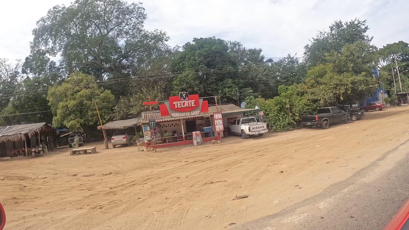
There are no hotels or sights. The village has a community preschool and community primary classes, and a small fonda, Doña Conchita; more restaurants, taquerías and bars are two kilometers up the road in San Ignacio, and the nearest hotels are in Sayulita. It is a place you pass rather than visit, but it shows how far inland the growth of the Riviera Nayarit now reaches.
How to get to San Quintín
Drive from Puerto Vallarta: 40 min, 52 km
San Quintín lies on federal Highway 200 (Carretera Tepic–Puerto Vallarta) between Bucerías and Sayulita, next to Palmarito and about 2.5 km from San Ignacio. Sayulita is about 7 km away, roughly ten minutes by car.
Directions to San Quintín on Google Maps
Distances are in a straight line; the road is usually longer.
Links open a partner site. We may earn a commission if you book, at no cost to you.
From the nearest cities to San Quintín
- Puerto Vallarta · 52 km by road, 40 min
- Tepic · 131 km by road, 1 h 50 min
- Autlán · about 210 km by road, ~3 h 5 min
Drive times by road from OpenStreetMap, without traffic or stops. Times marked ~ are estimated from the straight-line distance.
Before you go to San Quintín: hours, prices and tips
- Best season
- Warm all year, about 24 °C on average; February is the coolest month and July the warmest, and September is the wettest, with rain on some 173 days a year. PueblosAmerica · checked Oct 2026
Hours and prices change, especially around holidays. Each fact links to where we checked it.
Visiting San Quintín: what to see and do
Eat at the small Fonda Doña Conchita or at the roadside restaurants of neighboring San Ignacio.
Continue to Sayulita, about 7 km away, for the beaches and surf.
Drive down to La Cruz de Huanacaxtle on Banderas Bay, about 9 km south.
Plan your trip
Places to stay in San Quintín
Compare hotels, posadas, and rentals in and around San Quintín.
Tours & activities
Day trips and guided outings from Sayulita often include San Quintín; with a local guide you can get there without a car.
Rental cars
Pick up a car at PVR (Puerto Vallarta): about 41 min by road to Sayulita, then 6 km more to San Quintín, on your own schedule.
Flights
The nearest airport with scheduled flights is Puerto Vallarta (PVR), about 41 min by road from Sayulita, the base for San Quintín.
Mobile data
Signal can drop away from Sayulita: download a map of the way to San Quintín before you set out, or carry an eSIM with data.
Links open a partner site. We may earn a commission if you book, at no cost to you.
When to go to San Quintín warm
San Quintín shares the climate of Sayulita, 6 km away. The best months to visit are March, April, May, and November.
See the month-by-month climate of Sayulita
Weather in San Quintín now and the next 7 days
Live forecast from Open-Meteo. Chance of rain is the day's highest.
The closest Pueblo Mágico: Sayulita

Sayulita is the Pueblo Mágico closest to San Quintín, with places to stay, food, and more to see.
Also close to
- Compostela · Nayarit · 69 km away
- Mascota · Jalisco · 73 km away
- Talpa de Allende · Jalisco · 79 km away
- San Blas · Nayarit · 80 km away
Closest to San Quintín
-
El Guamúchil · Village · 2 km away
-
San Ignacio · Village · 2 km away
-
Cerro del Mono · Mountain · 6 km away
-
Playa Las Cuevas · Beach · 6 km away
-
Playa Patzcuarito · Beach · 6 km away
-
Playa Pátzcuaro · Beach · 6 km away
-
Playa Malpaso · Beach · 7 km away
-
Higuera Blanca · Town · 8 km away

Near San Quintín


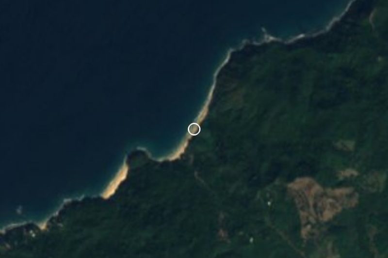


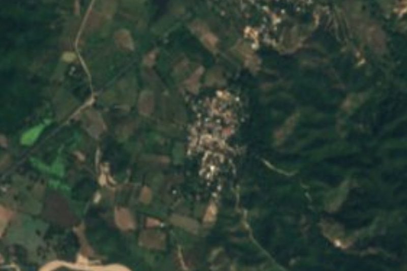

Drive times by road from OpenStreetMap, without traffic. Times marked ~ are estimated from the straight-line distance.
Location from OpenStreetMap. Written by Puebloteca.