

Beach Bahía de Banderas, Nayarit Municipality of Bahía de Banderas Banderas Bay Riviera Nayarit
La Cruz de Huanacaxtle's family beach: a mile-long crescent of grey sand with calm, shallow water and palapa restaurants on the sand.
From Puerto Vallarta: 35 min by car (30 km by road) How to get there ↓
Near here
See everything nearby ↓



Plan your visit to Playa La Manzanilla
Where to stay near Playa La Manzanilla
Compare hotels, posadas and guest houses in Playa La Manzanilla.
Tours to Playa La Manzanilla
Day trips and guided outings from Sayulita often include Playa La Manzanilla; with a local guide you can get there without a car.
How to get to Playa La Manzanilla
- From Puerto Vallarta: about 35 min by road (~30 km)
- Nearest airport: Puerto Vallarta (PVR), 41 min by car to Sayulita
Links open a partner site. We may earn a commission if you book, at no cost to you.
About Playa La Manzanilla
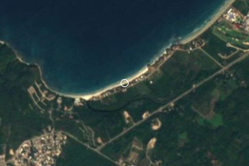
Playa La Manzanilla is the main beach of La Cruz de Huanacaxtle, the fishing town on the north shore of Banderas Bay, about 15 miles (24 km) north of the Puerto Vallarta airport. It is a broad crescent roughly a mile long that slopes gently into the bay. Its sand is grey, noticeably darker than on the other beaches nearby.
This stretch of the bay is sheltered. The waves are small and the water stays shallow far from shore, so it is one of the better beaches in the area for children to swim and float, and an easy, public beach to reach, which not every beach on the bay can claim. Palapa restaurants on the sand serve meals and drinks, and nearby shops sell beach gear.
The beach changes with the calendar. Out of season it is quiet; on high-season weekends and big holidays it fills up with visitors and local families, umbrella to umbrella. The southern end, in front of a line of newer condominium buildings, stays calmer.
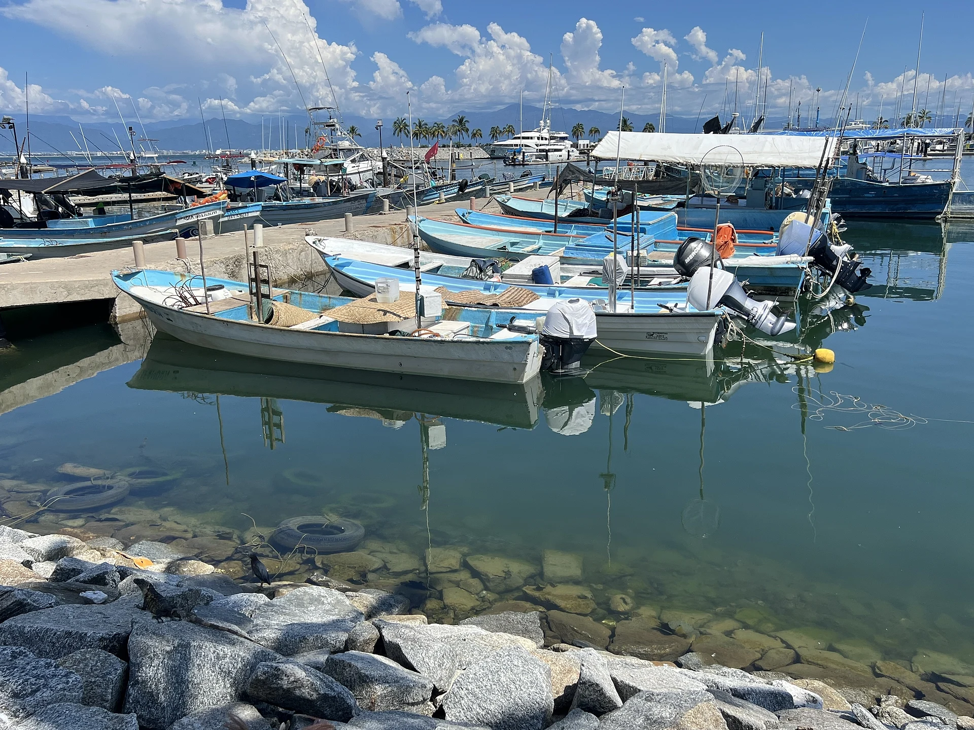
La Cruz lives close to the sea. The waters off the town are known as some of the best fishing grounds in the bay and many residents work in fishing; local fishermen take visitors out for tuna, snapper and sea bass, usually priced by the hour. Next to the beach is Marina Riviera Nayarit, opened in 2008, with a daily fish market, a yacht club and restaurants, a good place to buy the morning's catch or watch the boats come in.
How to get to Playa La Manzanilla
Drive from Puerto Vallarta: 35 min, 30 km
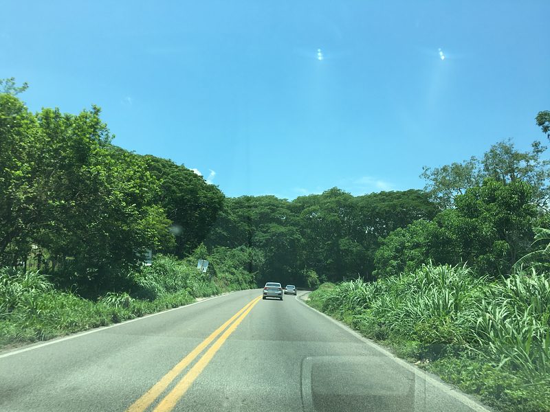
La Cruz de Huanacaxtle is about a 30-minute drive north of Puerto Vallarta: take Highway 200 north past Nuevo Vallarta to Bucerías and turn west onto the coastal road toward Punta de Mita. Parking is easy to find around the town, the marina and the beach. Regional buses of Autotransportes Medina (ATM) run from Puerto Vallarta to La Cruz, with stops at Las Glorias, the Walmart near the marina and the airport pedestrian bridge.
Directions to Playa La Manzanilla on Google Maps
Distances are in a straight line; the road is usually longer.
Links open a partner site. We may earn a commission if you book, at no cost to you.
From the nearest cities to Playa La Manzanilla
- Puerto Vallarta · 30 km by road, 35 min
- Tepic · 140 km by road, 2 h
- Autlán · about 200 km by road, ~2 h 55 min
Drive times by road from OpenStreetMap, without traffic or stops. Times marked ~ are estimated from the straight-line distance.
Before you go to Playa La Manzanilla: hours, prices and tips
- Best time of day
- Quiet in the low season; on high-season weekends and major holidays it fills up fast. The southern end, in front of the newer condos, stays calmer. Visit Vallarta · checked Oct 2026
Hours and prices change, especially around holidays. Each fact links to where we checked it.
Visiting Playa La Manzanilla: what to see and do
Swim and float in the calm, shallow water, one of the gentlest stretches of the bay for children.
Eat at the palapa restaurants on the sand.
Walk to the quieter southern end, in front of the newer condominiums.
Buy fresh fish at the daily fish market in Marina Riviera Nayarit next door.
Go out with a local fisherman for tuna, snapper or sea bass.
Plan your trip
Places to stay in Playa La Manzanilla
Compare hotels, posadas, and rentals in and around Playa La Manzanilla.
Tours & activities
Day trips and guided outings from Sayulita often include Playa La Manzanilla; with a local guide you can get there without a car.
Rental cars
Pick up a car at PVR (Puerto Vallarta): about 41 min by road to Sayulita, then 15 km more to Playa La Manzanilla, on your own schedule.
Flights
The nearest airport with scheduled flights is Puerto Vallarta (PVR), about 41 min by road from Sayulita, the base for Playa La Manzanilla.
Travel insurance
If you plan on swimming or surfing at Playa La Manzanilla, check that your policy covers it: some plans leave adventure activities out.
Mobile data
Signal can drop away from Sayulita: download a map of the way to Playa La Manzanilla before you set out, or carry an eSIM with data.
Links open a partner site. We may earn a commission if you book, at no cost to you.
Photos
When to go to Playa La Manzanilla warm
Playa La Manzanilla shares the climate of Sayulita, 15 km away. The best months to visit are March, April, May, and November.
Playa La Manzanilla is best for swimming and time on the water in the warmest months (June, July, and August); in the rainiest ones (July, August, and September) expect storms in the afternoon.
See the month-by-month climate of Sayulita
Weather in Playa La Manzanilla now and the next 7 days
Live forecast from Open-Meteo. Chance of rain is the day's highest.
The closest Pueblo Mágico: Sayulita

Sayulita is the Pueblo Mágico closest to Playa La Manzanilla, with places to stay, food, and more to see.
Also close to
- Mascota · Jalisco · 67 km away
- Talpa de Allende · Jalisco · 71 km away
- Compostela · Nayarit · 74 km away
Closest to Playa La Manzanilla
-
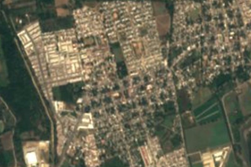
La Cruz de Huanacaxtle · Town · 1 km away
-
Playa Destiladeras · Beach · 4 km away
-
Bucerías · Town · 5 km away
-
El Guamúchil · Village · 8 km away
-
Tondoroque · Village · 9 km away
-
San Quintín · Village · 10 km away
-
Higuera Blanca · Town · 11 km away
-
Mezcales · Town · 11 km away
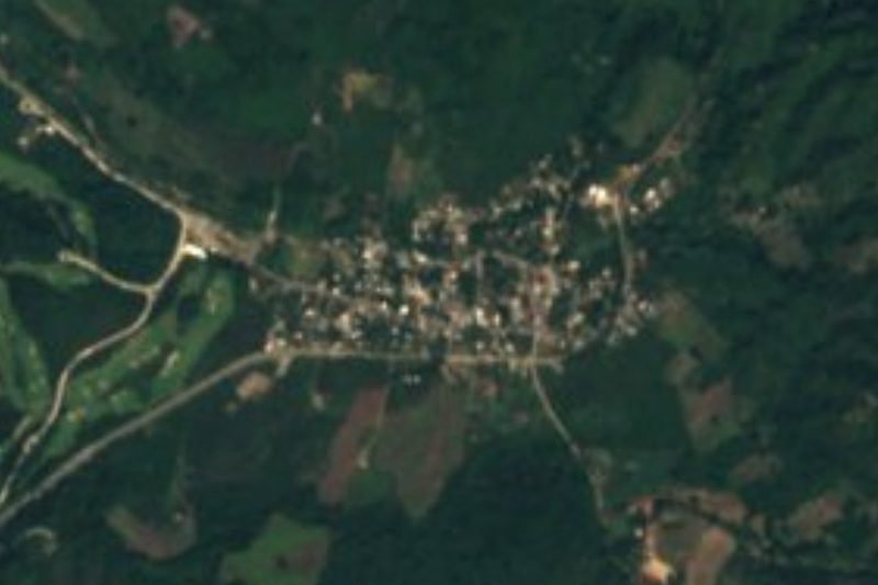
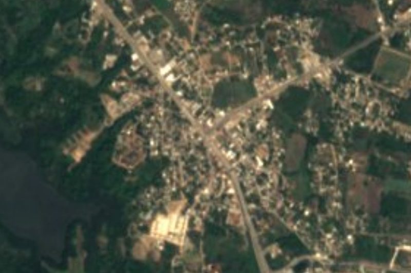
Near Playa La Manzanilla


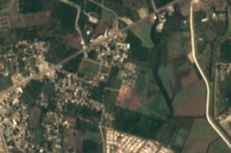





Drive times by road from OpenStreetMap, without traffic. Times marked ~ are estimated from the straight-line distance.
Lists with Playa La Manzanilla
Beaches in Nayarit · 25 Beaches near Sayulita · 42 Beaches near Puerto Vallarta · 40Location from OpenStreetMap. Written by Puebloteca.