Town Bahía de Banderas, Nayarit Municipality of Bahía de Banderas Banderas Bay Riviera Nayarit
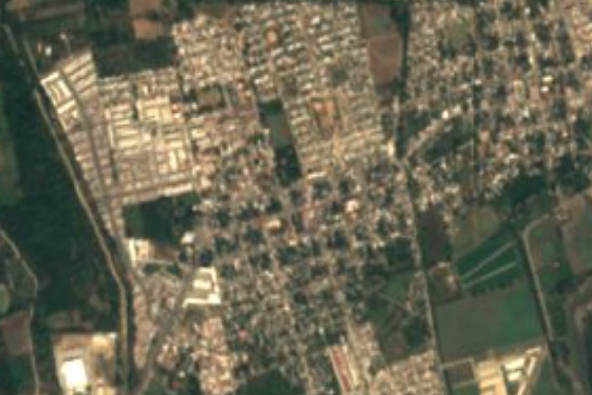
The most populous town of Bahía de Banderas, a valley town named for Saint Vincent Ferrer, with a church, a kiosk plaza and lively food streets.
From Puerto Vallarta: 25 min by car (21 km by road) How to get there ↓
Near here


Plan your visit to San Vicente
Where to stay near San Vicente
Compare hotels, posadas and guest houses in San Vicente.
Tours to San Vicente
Day trips around Sayulita sometimes stop in San Vicente; a tour is the easy way to see it without a car.
How to get to San Vicente
- From Puerto Vallarta: about 25 min by road (~21 km)
- Nearest airport: Puerto Vallarta (PVR), 41 min by car to Sayulita
Links open a partner site. We may earn a commission if you book, at no cost to you.
About San Vicente
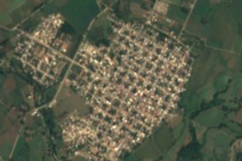
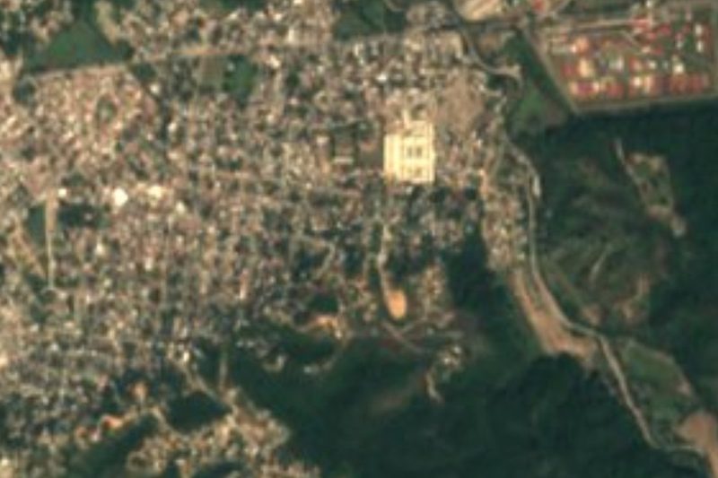
San Vicente is a town in the valley of Bahía de Banderas, Nayarit, on the farmland between the resort coast and the hills, about 23 kilometers by road from downtown Puerto Vallarta. A road runs up to it from Mezcales on Highway 200, about four kilometers away; El Porvenir lies about a kilometer to the southwest, San José del Valle about two and a half, San Clemente de Lima about two to the northeast, and the municipal seat, Valle de Banderas, about three kilometers away. To the north the valley rises toward Cerro Las Canoas, about 719 meters high.
The town is named for its patron saint, Saint Vincent Ferrer. The land around it was settled long before the Spanish arrived: in San Vicente itself eighteen small carved stone figures, 15 to 17 centimeters tall, have been found, though their age is unknown. Its explosive growth is recent: the census counted about 7,800 people in 2005, 14,300 in 2010 and 38,666 in 2020, in more than 11,500 homes, which makes San Vicente the most populous locality in the municipality, ahead of its neighbour San José del Valle. Over the same years the share of working adults rose from about 43 to 55 percent, and nearly every home has power and piped water.
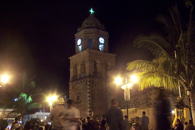
The old centre keeps the look of a valley pueblo, with its Catholic church and a main plaza with a kiosk, and the streets around them, such as Calle 12 de Octubre, Independencia and 16 de Septiembre, are full of places to eat: birrierías and taquerías, cenadurías for the evening, breakfast spots and, more and more, newer places such as the Barrio food park. It is a town to see everyday Nayarit life rather than sights, and the beaches of Nuevo Vallarta are about twenty minutes away.
How to get to San Vicente
Drive from Puerto Vallarta: 25 min, 21 km
From downtown Puerto Vallarta take Avenida Francisco Medina Ascencio and Highway 200 north past the airport and across the Ameca River into Nayarit. In Mezcales turn inland onto the Mezcales–San Vicente road, which leads into town along Calle Lázaro Cárdenas: about 23 km and 25 minutes in all. Regional buses to the Nayarit side of the bay leave from the transfer point by Walmart, near Marina Vallarta.
Directions to San Vicente on Google Maps
Distances are in a straight line; the road is usually longer.
Links open a partner site. We may earn a commission if you book, at no cost to you.
From the nearest cities to San Vicente
- Puerto Vallarta · 21 km by road, 25 min
- Tepic · 156 km by road, 2 h 10 min
- Autlán · about 185 km by road, ~2 h 45 min
Drive times by road from OpenStreetMap, without traffic or stops. Times marked ~ are estimated from the straight-line distance.
Map of San Vicente
Neighbourhoods and villages of San Vicente
Part of San Vicente or just outside it, closest first.
-
El Porvenir · Town · 1 km from the centre
A working town of about 6,000 people in the farming valley of Bahía de Banderas, between San Vicente and San José del Valle. -
San Clemente de Lima · Town · 3 km from the centre
Young valley town next to Mezcales that grew from a hamlet of under 200 people to nearly 10,000 in fifteen years; named for Saint Clement. -
San José del Valle · Town · 3 km from the centre
One of the biggest towns of Bahía de Banderas, a fast-growing valley town near the Ameca River whose fiesta of Saint Joseph fills the streets each March. -
Mezcales · Town · 4 km from the centre
Busy working town on Highway 200 between Nuevo Vallarta and Bucerías, one of the largest in Bahía de Banderas; taquerías, cenadurías and local life.
Day trips and tours from San Vicente
The closest Pueblos Mágicos and places to visit, with the drive from San Vicente and tours that leave from it.





Times marked ~ are estimated from the distance. Links open a partner site. We may earn a commission if you book, at no cost to you.
Before you go: getting to and around San Vicente
- The nearest airport is Puerto Vallarta (PVR).
- The best months to go are March, April, May, and November.
- 1 of the places on this page is more than 3 km from the centre: take a taxi, a ride-hailing app or a local bus.
- For day trips a rental car gives the most freedom; the tours above leave from San Vicente.
Visiting San Vicente: what to see and do
Sit in the main plaza by the kiosk and visit the church of the patron, Saint Vincent Ferrer.
Eat birria or tacos in the streets around the centre, and come back for supper at a cenaduría.
Try the newer food park on Calle 12 de Octubre.
Drive on to El Porvenir, San José del Valle and Valle de Banderas, the neighbouring valley towns.
Plan your trip
Places to stay in San Vicente
Compare hotels, posadas, and rentals in and around San Vicente.
Tours & activities
Day trips around Sayulita sometimes stop in San Vicente; a tour is the easy way to see it without a car.
Rental cars
Pick up a car at PVR (Puerto Vallarta): about 41 min by road to Sayulita, then 24 km more to San Vicente, on your own schedule.
Flights
The nearest airport with scheduled flights is Puerto Vallarta (PVR), about 41 min by road from Sayulita, the base for San Vicente.
Mobile data
Signal can drop away from Sayulita: download a map of the way to San Vicente before you set out, or carry an eSIM with data.
Links open a partner site. We may earn a commission if you book, at no cost to you.
When to go to San Vicente warm
San Vicente shares the climate of Sayulita, 24 km away. The best months to visit are March, April, May, and November.
See the month-by-month climate of Sayulita
Weather in San Vicente now and the next 7 days
Live forecast from Open-Meteo. Chance of rain is the day's highest.
The closest Pueblo Mágico: Sayulita

Sayulita is the Pueblo Mágico closest to San Vicente, with places to stay, food, and more to see.
Also close to
- Mascota · Jalisco · 54 km away
- Talpa de Allende · Jalisco · 61 km away
- Compostela · Nayarit · 65 km away
- San Sebastián del Oeste · Jalisco · 70 km away
Near San Vicente






Drive times by road from OpenStreetMap, without traffic. Times marked ~ are estimated from the straight-line distance.
Location from OpenStreetMap. Written by Puebloteca.