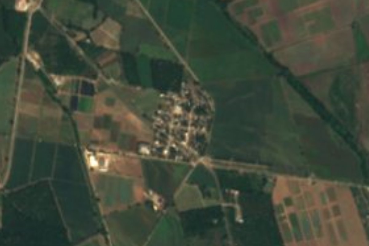
Village Bahía de Banderas, Nayarit Municipality of Bahía de Banderas Banderas Bay Riviera Nayarit
Small farming village of the Bahía de Banderas valley, just south-east of the municipal seat, Valle de Banderas, far from the resort coast.
From Puerto Vallarta: 25 min by car (27 km by road) How to get there ↓
Near here
See everything nearby ↓

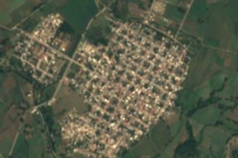
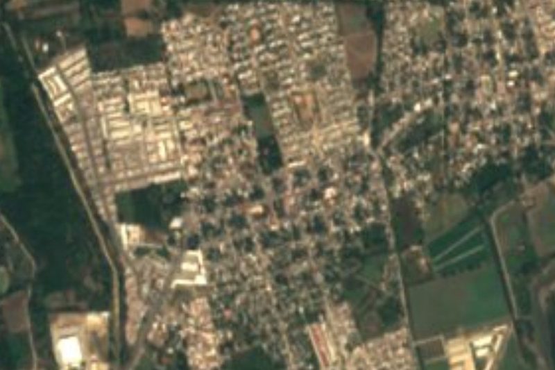
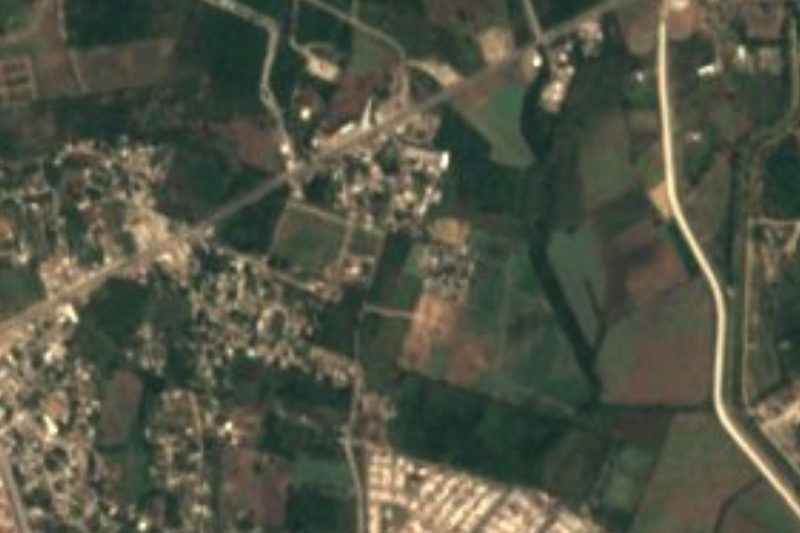
Plan your visit to Santa Rosa Tapachula
Where to stay near Santa Rosa Tapachula
Compare hotels, posadas and guest houses in Santa Rosa Tapachula.
Tours to Santa Rosa Tapachula
Day trips and guided outings from Sayulita often include Santa Rosa Tapachula; with a local guide you can get there without a car.
 Tours from Bucerias
City tour express, Butterfly, tequila, river and beach (free kids)
★ 4.6 (238) · From US$22
How to get to Santa Rosa Tapachula
- From Puerto Vallarta: about 25 min by road (~27 km)
- Nearest airport: Puerto Vallarta (PVR), 41 min by car to Sayulita
Links open a partner site. We may earn a commission if you book, at no cost to you.
Tours from Bucerias, near Santa Rosa Tapachula


Tours, prices and ratings from Viator, checked weekly. We may earn a commission if you book.
About Santa Rosa Tapachula
Santa Rosa Tapachula is a small village on the farming plain of the municipality of Bahía de Banderas, Nayarit, the inland valley behind the bay that most visitors only see from the highway. It lies about 38 meters above sea level and less than 3 km south-east of Valle de Banderas, the municipal seat, to which it is joined by its own local road; the much larger town of San José del Valle is a similar distance away. Around it are fields, drainage canals and the new housing estates that have spread across the valley in recent decades.
The village had 878 inhabitants at the 2020 census, up from 562 in 2005 and 790 in 2010. It long felt overlooked: when work began in January 2025 on a 400 square meter roof over its sports court, the municipal president said that no administration had ever built anything in Santa Rosa Tapachula before. The same year the municipality paved Calle 16 de Septiembre in hydraulic concrete, an investment of about 9.2 million pesos that the mayor called the village's first proper street, and on Earth Day 2025 residents began planting a kilometer of native trees, among them ceiba, parota, amapa and primavera, along the village drain, with the aim of turning it into a linear park.
There is nothing laid on for tourists here, and that is the point of coming: it is a quiet, everyday village of the valley, a short drive from the shady plaza and old church of Valle de Banderas and from the busy food streets of San Juan de Abajo. The climate is warm all year, about 24 °C on average, with the rain concentrated in the summer months and September the wettest.
How to get to Santa Rosa Tapachula
Drive from Puerto Vallarta: 25 min, 27 km
From Puerto Vallarta take Highway 200 north past the airport and Nuevo Vallarta and turn inland toward San José del Valle and Valle de Banderas; Santa Rosa Tapachula is reached by the local road (Carretera Santa Rosa Tapachula - Valle de Banderas) that leaves Valle de Banderas toward the south-east, under 3 km from the town's center. ATM regional buses from Puerto Vallarta serve Valle de Banderas and the other valley towns; from there it is a short taxi ride.
Directions to Santa Rosa Tapachula on Google Maps
Distances are in a straight line; the road is usually longer.
Links open a partner site. We may earn a commission if you book, at no cost to you.
From the nearest cities to Santa Rosa Tapachula
- Puerto Vallarta · 27 km by road, 25 min
- Tepic · 152 km by road, 2 h 5 min
- Autlán · about 190 km by road, ~2 h 45 min
Drive times by road from OpenStreetMap, without traffic or stops. Times marked ~ are estimated from the straight-line distance.
Before you go to Santa Rosa Tapachula: hours, prices and tips
- Best season
- Warm all year, about 24 °C on average; the rain falls mostly in summer and September is the wettest month. PueblosAmerica · checked Oct 2026
Hours and prices change, especially around holidays. Each fact links to where we checked it.
Visiting Santa Rosa Tapachula: what to see and do
Get a feel for the farming valley of Bahía de Banderas, away from the resort coast.
Walk along the village drain, where a kilometer of native trees is being planted as a future linear park.
Visit the plaza, bandstand and brick church of Valle de Banderas, the municipal seat, under 3 km away.
Go for evening tacos and antojitos in San Juan de Abajo, a few kilometers east.
Plan your trip
Places to stay in Santa Rosa Tapachula
Compare hotels, posadas, and rentals in and around Santa Rosa Tapachula.
Tours & activities
Day trips and guided outings from Sayulita often include Santa Rosa Tapachula; with a local guide you can get there without a car.
Rental cars
Pick up a car at PVR (Puerto Vallarta): about 41 min by road to Sayulita, then 24 km more to Santa Rosa Tapachula, on your own schedule.
Flights
The nearest airport with scheduled flights is Puerto Vallarta (PVR), about 41 min by road from Sayulita, the base for Santa Rosa Tapachula.
Mobile data
Signal can drop away from Sayulita: download a map of the way to Santa Rosa Tapachula before you set out, or carry an eSIM with data.
Links open a partner site. We may earn a commission if you book, at no cost to you.
When to go to Santa Rosa Tapachula warm
Santa Rosa Tapachula shares the climate of Sayulita, 24 km away. The best months to visit are March, April, May, and November.
See the month-by-month climate of Sayulita
Weather in Santa Rosa Tapachula now and the next 7 days
Live forecast from Open-Meteo. Chance of rain is the day's highest.
The closest Pueblo Mágico: Sayulita

Sayulita is the Pueblo Mágico closest to Santa Rosa Tapachula, with places to stay, food, and more to see.
Also close to
- Mascota · Jalisco · 54 km away
- Compostela · Nayarit · 61 km away
- Talpa de Allende · Jalisco · 62 km away
- San Sebastián del Oeste · Jalisco · 69 km away
Closest to Santa Rosa Tapachula
-
San José del Valle · Town · 3 km away
-
Valle de Banderas · Town · 3 km away
-
El Porvenir · Town · 4 km away
-
San Juan de Abajo · Town · 5 km away
-
San Vicente · Town · 5 km away
-
San Clemente de Lima · Town · 7 km away
-
El Colorado · Village · 8 km away
-
Mezcales · Town · 8 km away
Near Santa Rosa Tapachula





Drive times by road from OpenStreetMap, without traffic. Times marked ~ are estimated from the straight-line distance.
Location from OpenStreetMap. Written by Puebloteca.