

Town Bahía de Banderas, Nayarit Municipality of Bahía de Banderas Banderas Bay Riviera Nayarit
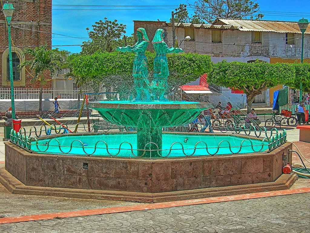
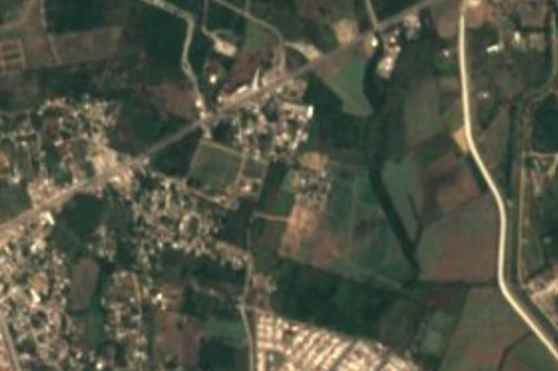
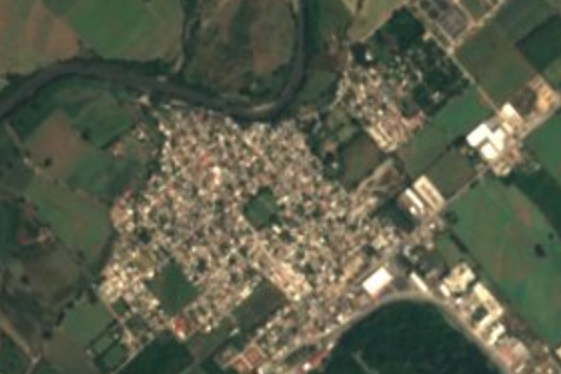
The farming town that gave Banderas Bay its name, now seat of Bahía de Banderas: a quiet plaza, an old church and fields below the Sierra de Vallejo.
From Puerto Vallarta: 30 min by car (30 km by road) How to get there ↓
Near here
See everything nearby ↓

Plan your visit to Valle de Banderas
Where to stay near Valle de Banderas
Compare hotels, posadas and guest houses in Valle de Banderas.
Tours to Valle de Banderas
Day trips around Sayulita sometimes stop in Valle de Banderas; a tour is the easy way to see it without a car.
 Valle de Banderas Experience Authentic Mexico Tour
From US$79
How to get to Valle de Banderas
- From Puerto Vallarta: about 30 min by road (~30 km)
- Nearest airport: Puerto Vallarta (PVR), 41 min by car to Sayulita
Links open a partner site. We may earn a commission if you book, at no cost to you.
Popular tours to Valle de Banderas
Tours, prices and ratings from Viator, checked weekly. We may earn a commission if you book.
About Valle de Banderas
Valle de Banderas is the municipal seat of Bahía de Banderas, a farming town of about 8,700 people (2020 census) on the fertile plain north of the Ameca River, at roughly 60 m above sea level and some 30 km by road north of Puerto Vallarta. It sits inland at the foot of the Sierra de Vallejo, away from the resort coast, and although the beach towns of its municipality have grown far larger, it remains the place where the town hall stands and where the whole municipality gathers for civic celebrations.
Its name is the origin of the bay's. Before the conquest this was Tintoque or Tintoc, the head town of a small chiefdom of the Cuyuteco people within the old kingdom of Xalisco, who farmed the valley rather than fishing the sea. When Francisco Cortés de San Buenaventura arrived in 1525, the local warriors met him carrying banners of brightly coloured feathers, and the Spaniards named the place Valle de Banderas, the valley of flags; in time the name passed to the bay. Tobacco was grown on the haciendas of the valley from the 17th century, and the town later belonged to Compostela until December 1989, when Bahía de Banderas was created as Nayarit's twentieth municipality with Valle de Banderas as its seat.
Today it is a working town of fields, small shops and a shady main plaza, Parque Hidalgo, with a bandstand and fountain, the municipal palace and an old brick church whose bell tower rises over the square. The surrounding farms grow much of the fresh produce eaten in Puerto Vallarta, and cultural food tours from Vallarta walk through the town and stop at nearby farms. On the night of 15 September the plaza fills for the municipality's Noche Mexicana and the Grito, followed the next day by the Independence parade.
How to get to Valle de Banderas
Drive from Puerto Vallarta: 30 min, 30 km
From Puerto Vallarta take Highway 200 north past the airport and Nuevo Vallarta, then turn inland, either on the Las Varas to Puerto Vallarta highway or through San José del Valle; routing on OpenStreetMap data gives about 32 to 36 km, roughly half an hour by car. ATM buses from Puerto Vallarta serve Valle de Banderas along with the other towns of the municipality. Pueblos cultural tours from Puerto Vallarta run on Mondays and Thursdays and include transport.
Directions to Valle de Banderas on Google Maps
Distances are in a straight line; the road is usually longer.
Links open a partner site. We may earn a commission if you book, at no cost to you.
From the nearest cities to Valle de Banderas
- Puerto Vallarta · 30 km by road, 30 min
- Tepic · 134 km by road, 2 h 10 min
- Autlán · about 190 km by road, ~2 h 50 min
Drive times by road from OpenStreetMap, without traffic or stops. Times marked ~ are estimated from the straight-line distance.
Before you go to Valle de Banderas: hours, prices and tips
- Best season
- Rain falls mostly from June to October, heaviest in August and September; the rest of the year is almost dry. Wikipedia (Servicio Meteorológico Nacional normals) · checked Oct 2026
- Guide or tour
- You can visit on your own; the Pueblos Cultural Tour from Puerto Vallarta (Mondays and Thursdays, about 109 US dollars for adults) adds a cacao farm, shopping with a chef and a cooking class. Tours: Viator GetYourGuide Vallarta Adventures · checked Oct 2026
Hours and prices change, especially around holidays. Each fact links to where we checked it.
Visiting Valle de Banderas: what to see and do
Sit in Parque Hidalgo, the main plaza, with its bandstand, fountain and old brick church.
See the municipal palace of Bahía de Banderas on the square.
Walk out to the farm fields of the valley below the Sierra de Vallejo.
Join a cultural food tour that combines the town with a cacao farm and a cooking class.
Come for the Noche Mexicana and the Grito on 15 September.
Plan your trip
Places to stay in Valle de Banderas
Compare hotels, posadas, and rentals in and around Valle de Banderas.
Tours & activities
Day trips around Sayulita sometimes stop in Valle de Banderas; a tour is the easy way to see it without a car.
Rental cars
Pick up a car at PVR (Puerto Vallarta): about 41 min by road to Sayulita, then 21 km more to Valle de Banderas, on your own schedule.
Flights
The nearest airport with scheduled flights is Puerto Vallarta (PVR), about 41 min by road from Sayulita, the base for Valle de Banderas.
Mobile data
Signal can drop away from Sayulita: download a map of the way to Valle de Banderas before you set out, or carry an eSIM with data.
Links open a partner site. We may earn a commission if you book, at no cost to you.
Photos
When to go to Valle de Banderas warm
Valle de Banderas shares the climate of Sayulita, 21 km away. The best months to visit are March, April, May, and November.
See the month-by-month climate of Sayulita
Weather in Valle de Banderas now and the next 7 days
Live forecast from Open-Meteo. Chance of rain is the day's highest.
The closest Pueblo Mágico: Sayulita

Sayulita is the Pueblo Mágico closest to Valle de Banderas, with places to stay, food, and more to see.
Also close to
- Mascota · Jalisco · 57 km away
- Compostela · Nayarit · 60 km away
- Talpa de Allende · Jalisco · 65 km away
- San Sebastián del Oeste · Jalisco · 71 km away
Closest to Valle de Banderas
-
Santa Rosa Tapachula · Village · 3 km away
-
San José del Valle · Town · 5 km away
-
El Porvenir · Town · 6 km away
-
San Juan de Abajo · Town · 6 km away
-
San Vicente · Town · 6 km away
-
San Clemente de Lima · Town · 8 km away
-
Mezcales · Town · 9 km away
-
Tondoroque · Village · 9 km away

Near Valle de Banderas





Drive times by road from OpenStreetMap, without traffic. Times marked ~ are estimated from the straight-line distance.
Location from OpenStreetMap. Written by Puebloteca.