Village Bahía de Banderas, Nayarit Municipality of Bahía de Banderas Banderas Bay Riviera Nayarit
A rural village of about 320 people on the old road to Puerto Vallarta, in the quiet northeast corner of Bahía de Banderas far from the beaches.
From Puerto Vallarta: 45 min by car (45 km by road) How to get there ↓
Near here
See everything nearby ↓


Plan your visit to El Coatante
Where to stay near El Coatante
Compare hotels, posadas and guest houses in El Coatante.
Tours to El Coatante
Day trips and guided outings from Sayulita often include El Coatante; with a local guide you can get there without a car.
 Tours from Bucerias
City tour express, Butterfly, tequila, river and beach (free kids)
★ 4.6 (238) · From US$22
How to get to El Coatante
- From Puerto Vallarta: about 45 min by road (~45 km)
- Nearest airport: Puerto Vallarta (PVR), 41 min by car to Sayulita
Links open a partner site. We may earn a commission if you book, at no cost to you.
Tours from Bucerias, near El Coatante


Tours, prices and ratings from Viator, checked weekly. We may earn a commission if you book.
About El Coatante
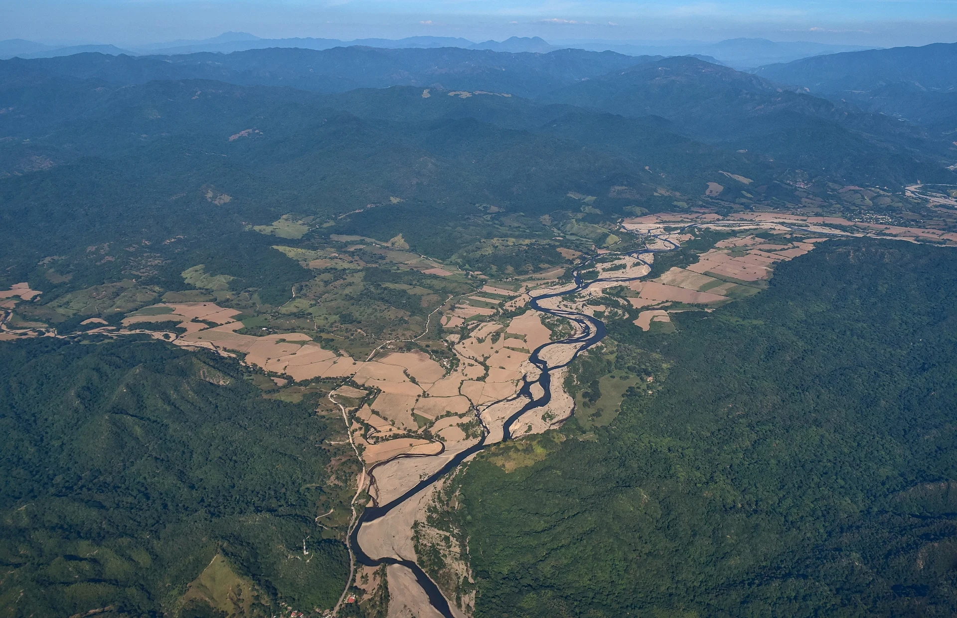
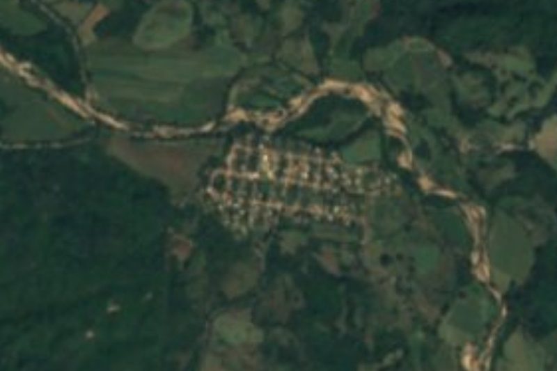
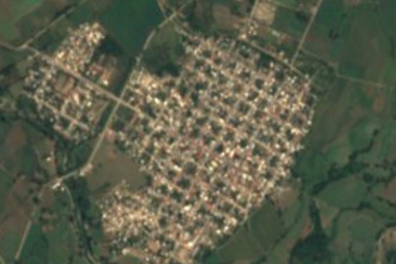
El Coatante is a small rural village in the far northeast of the municipality of Bahía de Banderas, close to the Jalisco state line and a long way from the resort coast. It lies on the Camino Viejo a Puerto Vallarta, the old road that runs north from the Ameca valley through El Colomo, about five kilometers to the southwest, and on toward the hills. The Río Ameca, which marks the state line with Jalisco, flows less than a kilometer south of the village, and Tebelchía (El Roble), on the Jalisco side in Puerto Vallarta municipality, is about four and a half kilometers to the south, the hamlet of Los Sauces about three kilometers to the northeast, and Cerro Vallejo, at 1,133 meters the high point of the Sierra de Vallejo, rises about nine kilometers to the west.
It is a modest, slowly growing community: 268 people at the 2005 census, 315 in 2010 and 322 in 2020, living in 90 occupied homes. More than half the residents were born outside Nayarit, which is not surprising this close to Jalisco. Almost every home has electricity and piped water, and between 2010 and 2020 the share of homes with internet jumped from almost none to more than four in ten. The village has a kindergarten, two primary schools and a telepreparatoria, a distance-learning high school.
There are no hotels or tourist services. The nearest restaurants and food stands are in Las Palmas de Arriba, about nine kilometers away, and the nearest lodgings some 16 to 18 kilometers away. The climate is hot and humid, with about 1,400 mm of rain a year, most of it in summer. For travelers it is a glimpse of the farming country inland from Banderas Bay, best seen on a drive along the old road.
How to get to El Coatante
Drive from Puerto Vallarta: 45 min, 45 km
From Puerto Vallarta, take Highway 200D (toward Las Varas) north to San Juan de Abajo, then the road to El Colomo and on along the Camino Viejo a Puerto Vallarta; El Coatante is about five kilometers past El Colomo. Allow roughly an hour by car from downtown Puerto Vallarta.
Directions to El Coatante on Google Maps
Distances are in a straight line; the road is usually longer.
Links open a partner site. We may earn a commission if you book, at no cost to you.
From the nearest cities to El Coatante
- Puerto Vallarta · 45 km by road, 45 min
- Tepic · 113 km by road, 1 h 45 min
- Autlán · about 195 km by road, ~2 h 50 min
Drive times by road from OpenStreetMap, without traffic or stops. Times marked ~ are estimated from the straight-line distance.
Before you go to El Coatante: hours, prices and tips
- Best season
- Hot and humid, about 25 °C on average: January is the coolest month, June the warmest and August the wettest, with rain on some 214 days a year. PueblosAmerica · checked Oct 2026
Hours and prices change, especially around holidays. Each fact links to where we checked it.
Visiting El Coatante: what to see and do
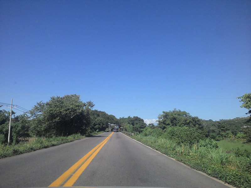
Drive the Camino Viejo a Puerto Vallarta through the farmland between El Colomo and El Coatante.
Visit neighboring El Colomo, the site of the first ejido of the Banderas Bay region.
See the Río Ameca, the state line with Jalisco, just south of the village.
Look west to Cerro Vallejo, the highest point of the Sierra de Vallejo.
Eat in Las Palmas de Arriba, about nine kilometers away.
Plan your trip
Places to stay in El Coatante
Compare hotels, posadas, and rentals in and around El Coatante.
Tours & activities
Day trips and guided outings from Sayulita often include El Coatante; with a local guide you can get there without a car.
Rental cars
Pick up a car at PVR (Puerto Vallarta): about 41 min by road to Sayulita, then 33 km more to El Coatante, on your own schedule.
Flights
The nearest airport with scheduled flights is Puerto Vallarta (PVR), about 41 min by road from Sayulita, the base for El Coatante.
Mobile data
Signal can drop away from Sayulita: download a map of the way to El Coatante before you set out, or carry an eSIM with data.
Links open a partner site. We may earn a commission if you book, at no cost to you.
When to go to El Coatante warm
El Coatante shares the climate of Sayulita, 33 km away. The best months to visit are March, April, May, and November.
See the month-by-month climate of Sayulita
Weather in El Coatante now and the next 7 days
Live forecast from Open-Meteo. Chance of rain is the day's highest.
The closest Pueblo Mágico: Sayulita

Sayulita is the Pueblo Mágico closest to El Coatante, with places to stay, food, and more to see.
Also close to
- Compostela · Nayarit · 44 km away
- Mascota · Jalisco · 55 km away
- San Sebastián del Oeste · Jalisco · 63 km away
- Talpa de Allende · Jalisco · 66 km away
- Ahuacatlán · Nayarit · 69 km away
Closest to El Coatante
-
Los Sauces · Village · 3 km away
-
El Colomo · Village · 5 km away
-
Tebelchia · Village · 5 km away
-
Las Palmas de Arriba · Town · 9 km away
-
San Juan de Abajo · Town · 12 km away
-
Sierra de Vallejo · Nature reserve · 14 km away
-
El Colorado · Village · 15 km away
-
Santa Rosa Tapachula · Village · 17 km away
Near El Coatante


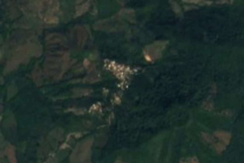
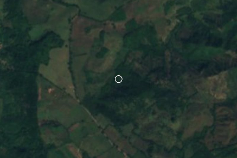
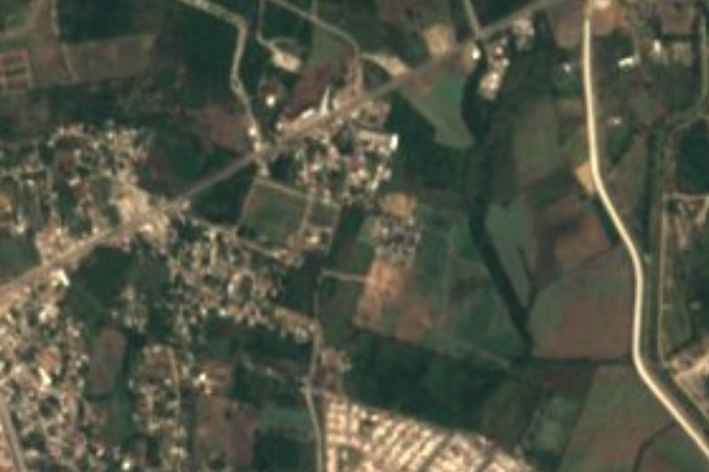


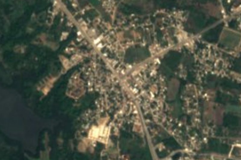

Drive times by road from OpenStreetMap, without traffic. Times marked ~ are estimated from the straight-line distance.
Location from OpenStreetMap. Written by Puebloteca.