Town Puerto Vallarta, Jalisco Municipality of Puerto Vallarta Banderas Bay
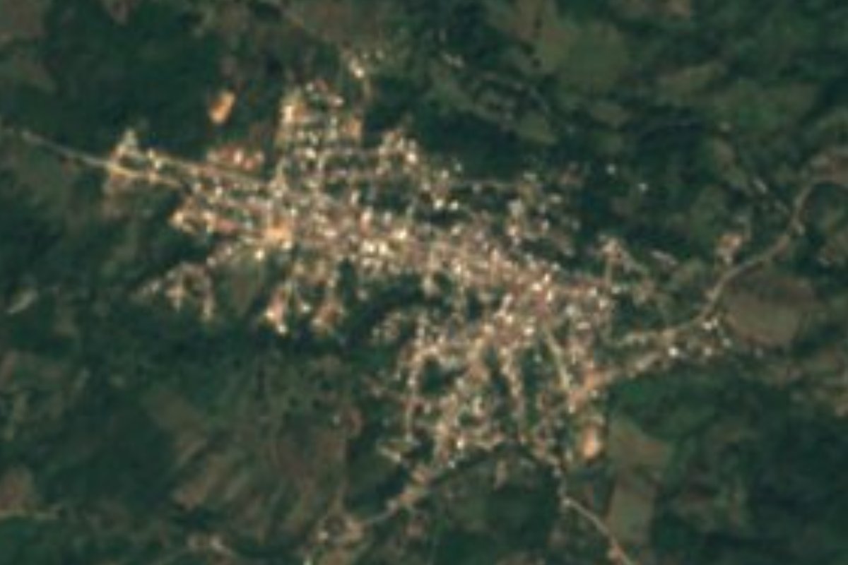
Ejido town on the Ameca River in the far north of Puerto Vallarta municipality, on Highway 544 on the way up to San Sebastián del Oeste.
From Puerto Vallarta: 40 min by car (32 km by road) How to get there ↓
Near here
See everything nearby ↓



Plan your visit to Las Palmas de Arriba
Where to stay near Las Palmas de Arriba
Compare hotels, posadas and guest houses in Las Palmas de Arriba.
Tours to Las Palmas de Arriba
Day trips around Sayulita sometimes stop in Las Palmas de Arriba; a tour is the easy way to see it without a car.
 Tours from Bucerias
City tour express, Butterfly, tequila, river and beach (free kids)
★ 4.6 (238) · From US$22
How to get to Las Palmas de Arriba
- From Puerto Vallarta: about 40 min by road (~32 km)
- Nearest airport: Puerto Vallarta (PVR), 41 min by car to Sayulita
Links open a partner site. We may earn a commission if you book, at no cost to you.
Tours from Bucerias, near Las Palmas de Arriba


Tours, prices and ratings from Viator, checked weekly. We may earn a commission if you book.
About Las Palmas de Arriba
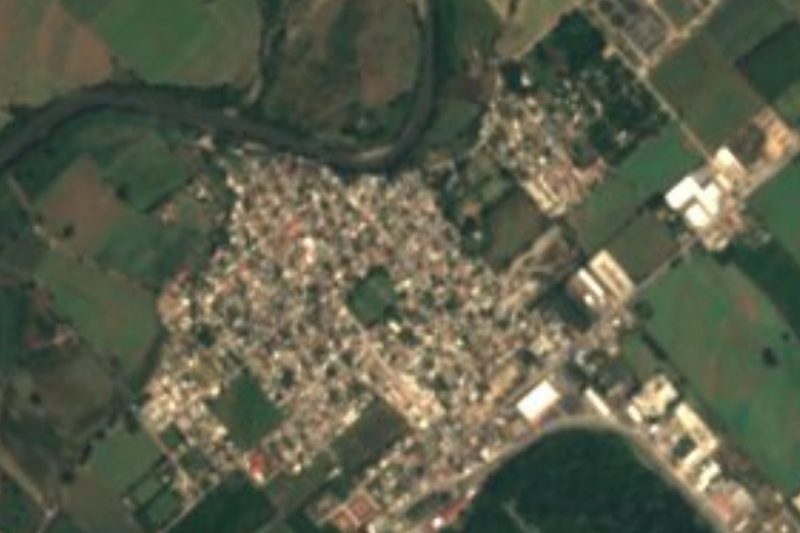
Las Palmas de Arriba, usually just called Las Palmas, is a country town in the northern, inland part of the municipality of Puerto Vallarta, Jalisco, roughly 27 kilometers from the city. It sits where the valley of the Ameca River narrows against the foothills of the Sierra Occidental: the river, which here forms the border with Nayarit, runs along its western side, the hills close in to the north and east, and the farming community of El Colorado lies to the south. The 2020 census counted 3,949 people, making it the fourth-largest locality in the municipality, a little fewer than the 4,145 of 2010.
The town grew up around its fundo legal, the original village core, and its land belongs to the ejido of Las Palmas, one of 26 ejidos in the municipality. Most of the surrounding territory, more than 8,500 hectares in the area covered by the town's 2021 urban development plan, is forest on the hillsides, with good farming soil on the valley floor; the plan sets out to encourage agriculture and low-impact, nature-based tourism here rather than more housing.
State Highway 544 is the town's main street and its link to the world. Coming down from the mountains, the road from Mascota and San Sebastián del Oeste descends through La Estancia and Las Palmas to Las Juntas on the coast highway, so Las Palmas is the first sizeable town travelers reach on the valley floor, and the last before the climb when heading the other way. San Sebastián del Oeste, the old silver-mining Pueblo Mágico, is about 44 km and a bit over an hour's drive further up the road.
How to get to Las Palmas de Arriba
Drive from Puerto Vallarta: 40 min, 32 km
From Puerto Vallarta, drive north on Highway 200 to the Las Juntas interchange and turn inland onto State Highway 544, the road to San Sebastián del Oeste and Mascota, which runs past Ixtapa and up the Ameca valley to Las Palmas, about 27 km from the city. Beyond the town the road climbs into the mountains, very curvy and with some potholes; it was rebuilt in 2020, but rainy-season landslides have long been common, so check conditions first.
Directions to Las Palmas de Arriba on Google Maps
Distances are in a straight line; the road is usually longer.
Links open a partner site. We may earn a commission if you book, at no cost to you.
From the nearest cities to Las Palmas de Arriba
- Puerto Vallarta · 32 km by road, 40 min
- Tepic · 127 km by road, 2 h 5 min
- Autlán · about 180 km by road, ~2 h 40 min
Drive times by road from OpenStreetMap, without traffic or stops. Times marked ~ are estimated from the straight-line distance.
Before you go to Las Palmas de Arriba: hours, prices and tips
- Time needed
- San Sebastián del Oeste is about 44 km, a little over an hour's drive, further up the road. PueblosAmerica · checked Oct 2026
- Best season
- Rainy-season landslides have long been common on the mountain road beyond the town; check conditions before driving up. Guadalajara Reporter · checked Oct 2026
Hours and prices change, especially around holidays. Each fact links to where we checked it.
Visiting Las Palmas de Arriba: what to see and do
Stop in Las Palmas on the drive between Puerto Vallarta and San Sebastián del Oeste or Mascota.
See the farmland of the Ameca valley along the Jalisco-Nayarit border.
Continue up Highway 544 to San Sebastián del Oeste, about an hour further.
Look out over the Progreso bridge and canyon on the road up to San Sebastián.
Plan your trip
Places to stay in Las Palmas de Arriba
Compare hotels, posadas, and rentals in and around Las Palmas de Arriba.
Tours & activities
Day trips around Sayulita sometimes stop in Las Palmas de Arriba; a tour is the easy way to see it without a car.
Rental cars
Pick up a car at PVR (Puerto Vallarta): about 41 min by road to Sayulita, then 36 km more to Las Palmas de Arriba, on your own schedule.
Flights
The nearest airport with scheduled flights is Puerto Vallarta (PVR), about 41 min by road from Sayulita, the base for Las Palmas de Arriba.
Mobile data
Signal can drop away from Sayulita: download a map of the way to Las Palmas de Arriba before you set out, or carry an eSIM with data.
Links open a partner site. We may earn a commission if you book, at no cost to you.
When to go to Las Palmas de Arriba warm
Las Palmas de Arriba shares the climate of Sayulita, 36 km away. The best months to visit are March, April, May, and November.
See the month-by-month climate of Sayulita
Weather in Las Palmas de Arriba now and the next 7 days
Live forecast from Open-Meteo. Chance of rain is the day's highest.
The closest Pueblo Mágico: Sayulita

Sayulita is the Pueblo Mágico closest to Las Palmas de Arriba, with places to stay, food, and more to see.
Also close to
- Mascota · Jalisco · 46 km away
- Compostela · Nayarit · 50 km away
- San Sebastián del Oeste · Jalisco · 57 km away
- Talpa de Allende · Jalisco · 57 km away
- Ahuacatlán · Nayarit · 69 km away
Closest to Las Palmas de Arriba
-
Tebelchia · Village · 5 km away
-
El Colomo · Village · 8 km away
-
El Colorado · Village · 8 km away
-
El Coatante · Village · 9 km away
-
San Juan de Abajo · Town · 10 km away
-
El Ranchito · Village · 11 km away
-
Los Sauces · Village · 11 km away
-
Santa Rosa Tapachula · Village · 14 km away
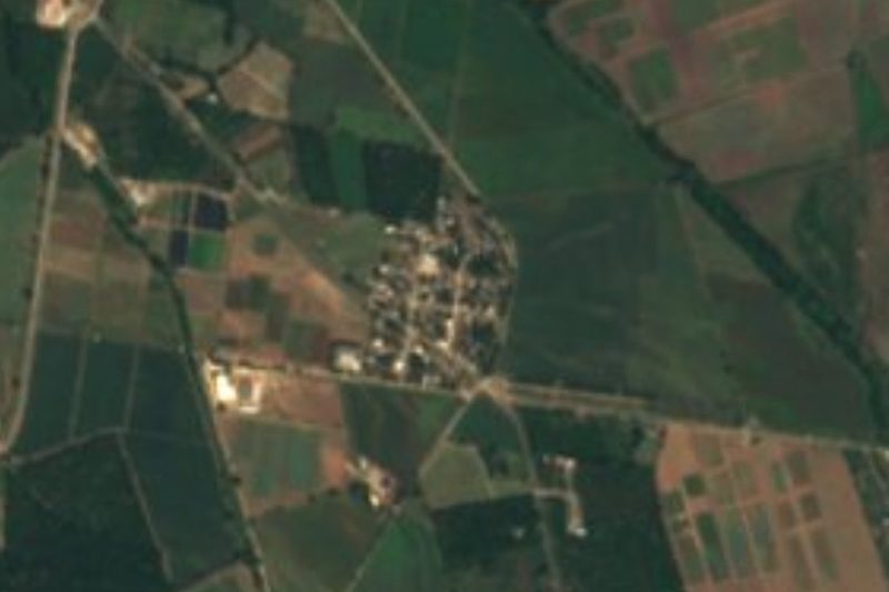
Near Las Palmas de Arriba




Drive times by road from OpenStreetMap, without traffic. Times marked ~ are estimated from the straight-line distance.
Location from OpenStreetMap. Written by Puebloteca.