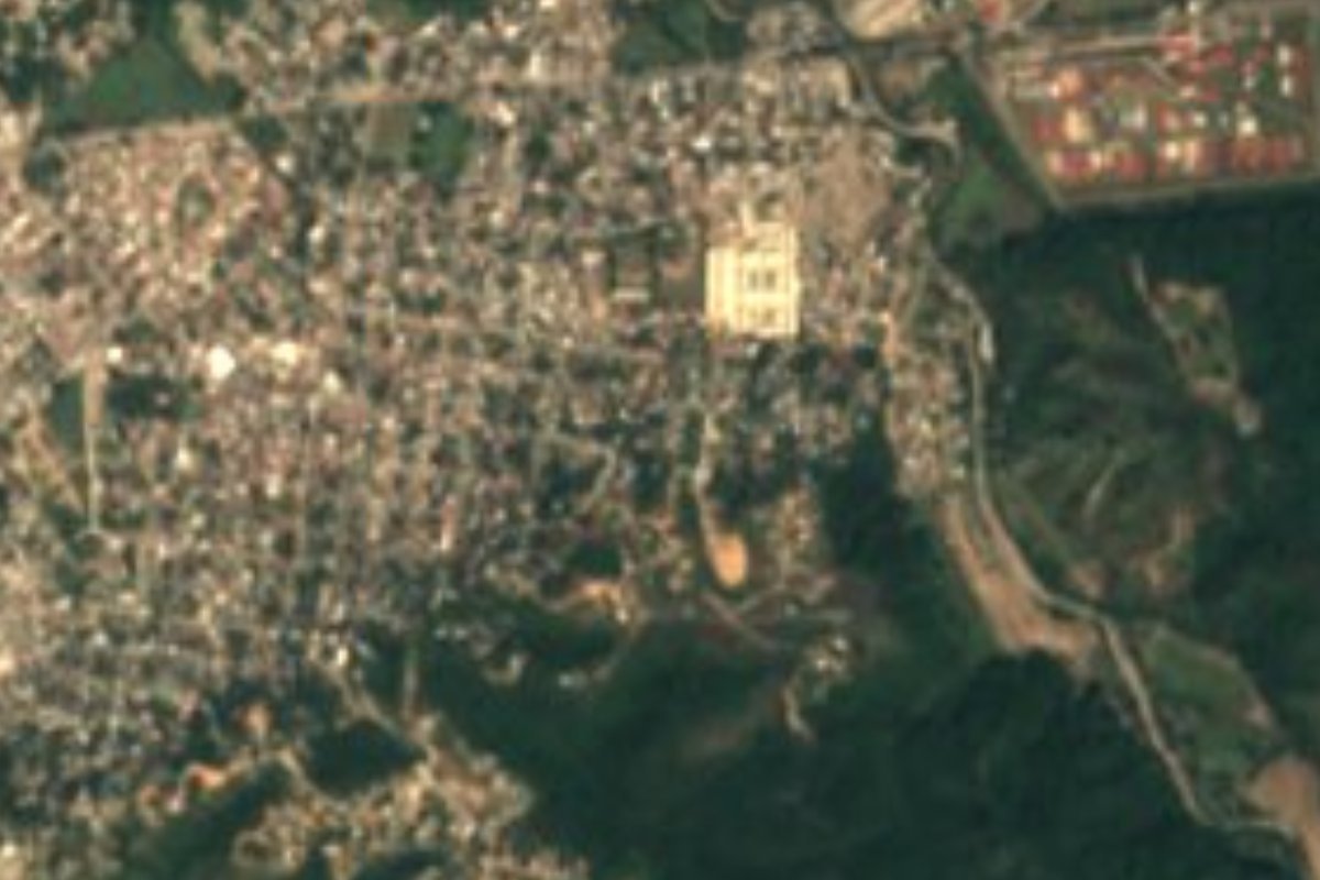
Town Puerto Vallarta, Jalisco Municipality of Puerto Vallarta Banderas Bay
Puerto Vallarta's second town, 11 km inland in the valley: home of the University of Guadalajara's coast campus and once a banana hacienda.
From Puerto Vallarta: 15 min by car (12 km by road) How to get there ↓
Near here
See everything nearby ↓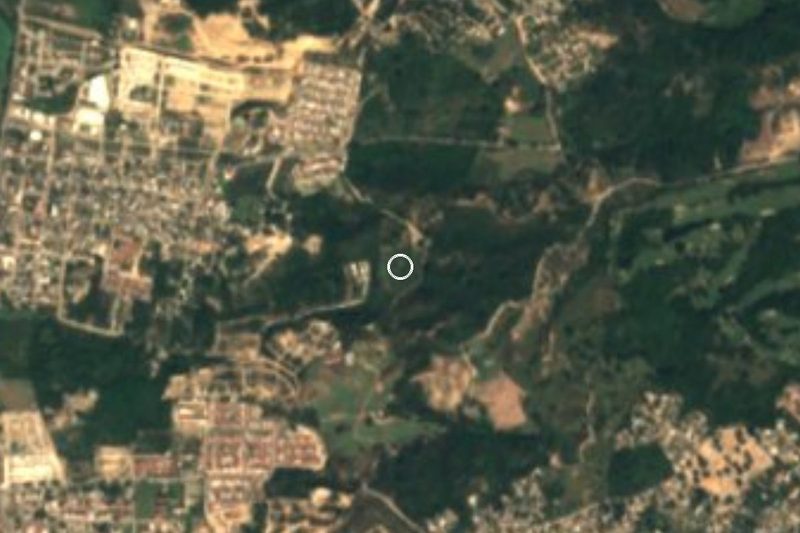


Plan your visit to Ixtapa
Where to stay near Ixtapa
Compare hotels, posadas and guest houses in Ixtapa.
Tours to Ixtapa
Day trips around Sayulita sometimes stop in Ixtapa; a tour is the easy way to see it without a car.
 Tours from Puerto Vallarta
Winner 2026 Downtown Vallarta Food Tour with Vallarta Food Tours
★ 5.0 (3,971) · From US$59
How to get to Ixtapa
- From Puerto Vallarta: about 15 min by road (~12 km)
- Nearest airport: Puerto Vallarta (PVR), 41 min by car to Sayulita
Links open a partner site. We may earn a commission if you book, at no cost to you.
Tours from Puerto Vallarta, near Ixtapa


Tours, prices and ratings from Viator, checked weekly. We may earn a commission if you book.
About Ixtapa
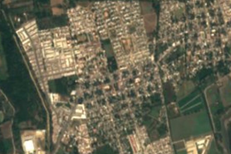
Ixtapa is the second-largest town in the municipality of Puerto Vallarta, Jalisco, a working city in the flat farming valley behind the bay, about 11.5 kilometers from downtown Vallarta and some 26 meters above sea level. It has nothing to do with the beach resort of Ixtapa-Zihuatanejo in Guerrero, which shares the name. The 2020 census counted 39,083 people here, after growth of about 2.6 percent a year over the previous decade, making it a fast-growing commuter town for the Vallarta area. State Highway 544, the road that climbs to Mascota and the Sierra Occidental, passes through it.
People have lived here for a very long time: archaeological finds near Ixtapa are part of the evidence that this valley belonged to the cultures that dominated what are now Jalisco, Nayarit and Michoacán between about 900 and 1200 AD. In the modern era Ixtapa was a hacienda. Before Vallarta turned to tourism, the Montgomery Fruit Company set up on the Hacienda de Ixtapa to grow bananas for export to the United States, and brought with it the region's first tractors, prefabricated houses, an electric generator and even a railway. The boom gave work to many and filled the port's shops, and older people in Vallarta still remember those years as the "bonanza de Ixtapa".
Today Ixtapa is where many Vallarta families live, shop and study rather than a place for sightseeing. It is home to the Centro Universitario de la Costa (CUCosta), the University of Guadalajara's coastal campus on Avenida Universidad, whose Peter Gray Art Museum gathered a collection of modern Mexican art begun with a donation from the philanthropist Peter Gray in 2002, though it is now reported closed. It is also a gateway: the road into the mountains toward Mascota, Talpa de Allende and San Sebastián del Oeste starts here.
How to get to Ixtapa
Drive from Puerto Vallarta: 15 min, 12 km
Ixtapa is about 11.5 km from downtown Puerto Vallarta, inland past the airport. City buses marked Ixtapa run the length of Vallarta from south to north, along Calle Juárez and Calle Colombia through the Centro and 5 de Diciembre and then up Boulevard Francisco Medina Ascencio past the airport, before turning inland; check the destinations on the windshield (Ixtapa, La Desembocada or El Ranchito) and ask the driver if unsure. By car, follow the boulevard north and take the road inland at Las Juntas, the start of State Highway 544.
Directions to Ixtapa on Google Maps
Distances are in a straight line; the road is usually longer.
Links open a partner site. We may earn a commission if you book, at no cost to you.
From the nearest cities to Ixtapa
- Puerto Vallarta · 12 km by road, 15 min
- Tepic · 160 km by road, 2 h 20 min
- Autlán · about 175 km by road, ~2 h 35 min
Drive times by road from OpenStreetMap, without traffic or stops. Times marked ~ are estimated from the straight-line distance.
Before you go to Ixtapa: hours, prices and tips
- Guide or tour
- No guide needed; it is an ordinary town served by city buses from Puerto Vallarta. Hitchwiki · checked Oct 2026
Hours and prices change, especially around holidays. Each fact links to where we checked it.
Visiting Ixtapa: what to see and do
Walk around the University of Guadalajara's CUCosta campus on Avenida Universidad.
See the town where the Montgomery Fruit Company's banana hacienda brought the "bonanza de Ixtapa".
Start a mountain drive on Highway 544 toward Mascota and San Sebastián del Oeste.
Combine it with Las Juntas, the neighboring town at the junction of Highway 200 and Highway 544.
Plan your trip
Places to stay in Ixtapa
Compare hotels, posadas, and rentals in and around Ixtapa.
Tours & activities
Day trips around Sayulita sometimes stop in Ixtapa; a tour is the easy way to see it without a car.
Rental cars
Pick up a car at PVR (Puerto Vallarta): about 41 min by road to Sayulita, then 30 km more to Ixtapa, on your own schedule.
Flights
The nearest airport with scheduled flights is Puerto Vallarta (PVR), about 41 min by road from Sayulita, the base for Ixtapa.
Mobile data
Signal can drop away from Sayulita: download a map of the way to Ixtapa before you set out, or carry an eSIM with data.
Links open a partner site. We may earn a commission if you book, at no cost to you.
When to go to Ixtapa warm
Ixtapa shares the climate of Sayulita, 30 km away. The best months to visit are March, April, May, and November.
See the month-by-month climate of Sayulita
Weather in Ixtapa now and the next 7 days
Live forecast from Open-Meteo. Chance of rain is the day's highest.
The closest Pueblo Mágico: Sayulita

Sayulita is the Pueblo Mágico closest to Ixtapa, with places to stay, food, and more to see.
Also close to
- Mascota · Jalisco · 48 km away
- Talpa de Allende · Jalisco · 54 km away
- San Sebastián del Oeste · Jalisco · 65 km away
- Compostela · Nayarit · 66 km away
- Amatlán de Cañas · Nayarit · 80 km away
Closest to Ixtapa
-
Mariposario Jardín Mágico · Landmark · 3 km away
-
Las Juntas · Town · 5 km away
-
El Porvenir · Town · 6 km away
-
El Ranchito · Village · 6 km away
-
Estero El Salado · Nature reserve · 6 km away
-
San José del Valle · Town · 6 km away
-
Aquaventuras Park · Landmark · 7 km away
-
El Pitillal · Landmark · 7 km away


Near Ixtapa



Drive times by road from OpenStreetMap, without traffic. Times marked ~ are estimated from the straight-line distance.
Location from OpenStreetMap. Written by Puebloteca.