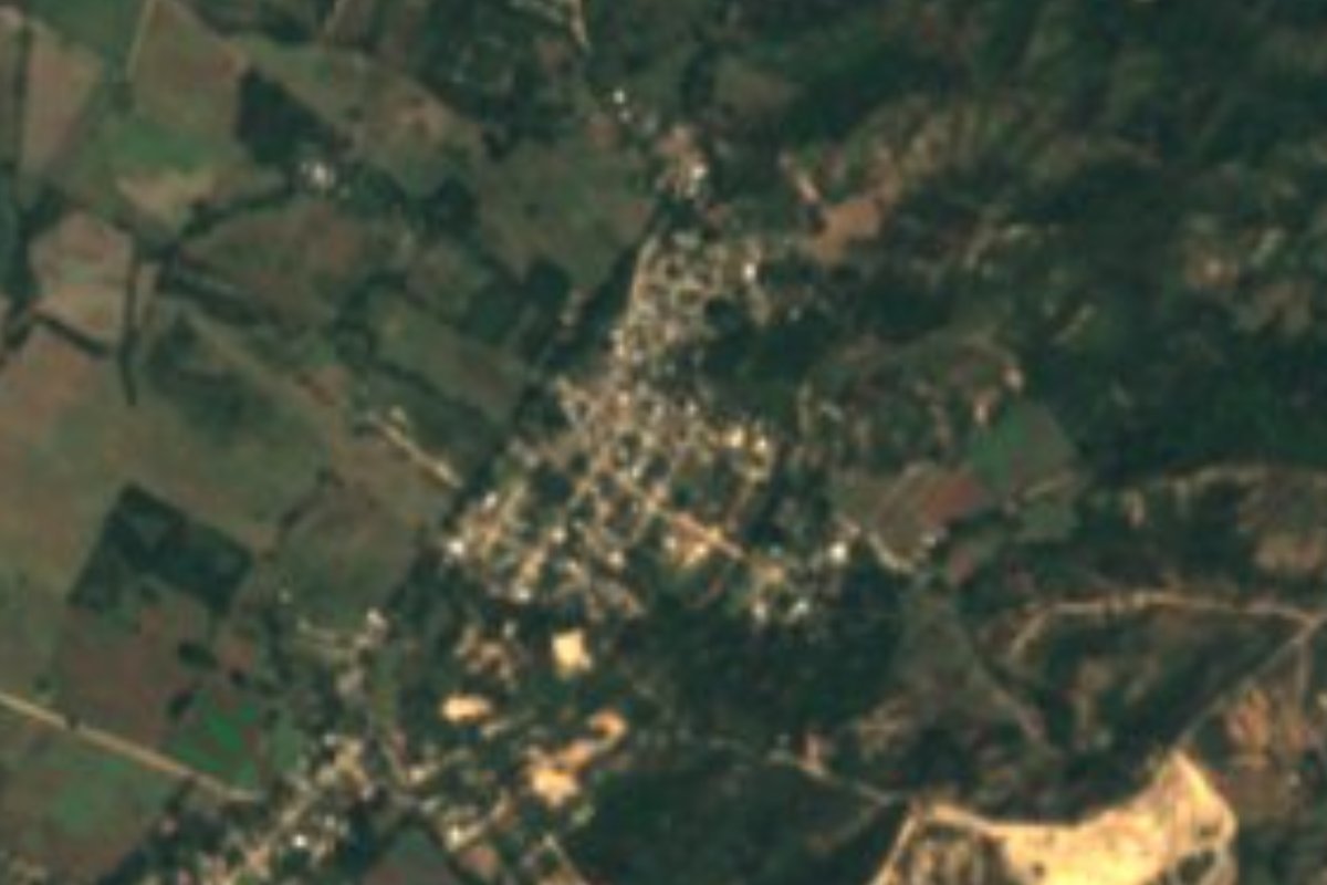
Village Puerto Vallarta, Jalisco Municipality of Puerto Vallarta Banderas Bay
Farming village of about 1,150 people on Highway 544 in the Ameca valley, just south of Las Palmas, on the Las Palmas bus route.
From Puerto Vallarta: 30 min by car (22 km by road) How to get there ↓
Near here
See everything nearby ↓

Plan your visit to El Colorado
Where to stay near El Colorado
Compare hotels, posadas and guest houses in El Colorado.
Tours to El Colorado
Day trips and guided outings from Sayulita often include El Colorado; with a local guide you can get there without a car.
 Tours from Puerto Vallarta
Winner 2026 Downtown Vallarta Food Tour with Vallarta Food Tours
★ 5.0 (3,971) · From US$59
How to get to El Colorado
- From Puerto Vallarta: about 30 min by road (~22 km)
- Nearest airport: Puerto Vallarta (PVR), 41 min by car to Sayulita
Links open a partner site. We may earn a commission if you book, at no cost to you.
Tours from Puerto Vallarta, near El Colorado


Tours, prices and ratings from Viator, checked weekly. We may earn a commission if you book.
About El Colorado
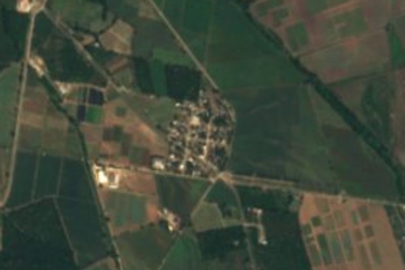
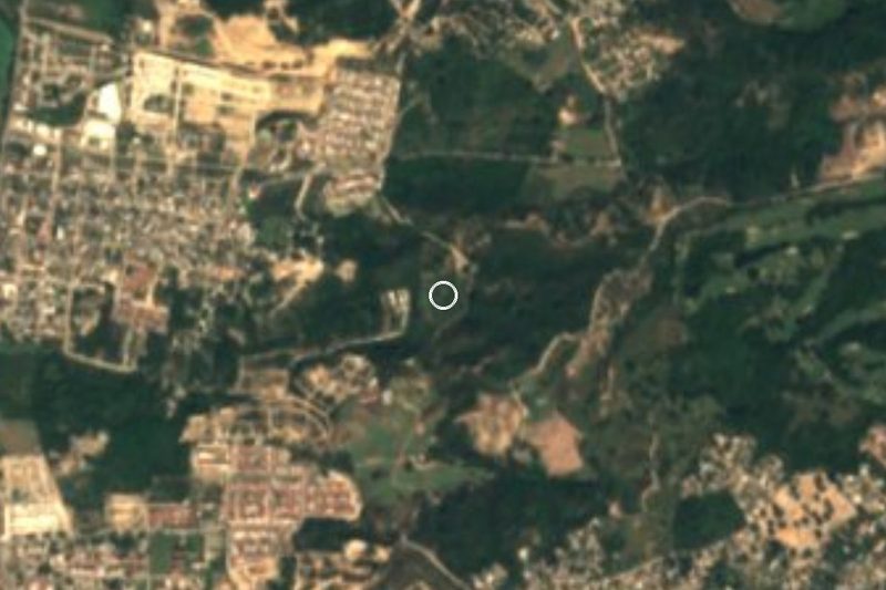
El Colorado is a farming village in the inland north of the municipality of Puerto Vallarta, Jalisco, on the floor of the Ameca valley about 40 meters above sea level and roughly 19 kilometers in a straight line from the city center. It lies on State Highway 544, the road that runs up the valley from Ixtapa toward Las Palmas, Mascota and San Sebastián del Oeste, and it borders Las Palmas de Arriba, the largest town of this part of the municipality, which begins just to the north.
The 2020 census counted 1,150 people, 595 women and 555 men, in 312 occupied homes, up from 750 in 2005 and 1,023 in 2010. The village has a kindergarten and several primary schools, and around it lie a string of smaller settlements such as El Zancudo, Campestre Los Ángeles, Joyas del Colorado and Colinas del Valle. It has also given its name to one of Puerto Vallarta's planning districts: the municipality's urban plans treat the area as the Distrito Urbano El Colorado, which borders the Las Palmas district to the north.
There are no sights as such, but El Colorado is part of the drive through the quiet agricultural back country of Vallarta on the way to the mountains. Cerro Quelitán, a 558-meter hill, rises about 7.5 kilometers to the south-east, and the Las Palmas city bus from Puerto Vallarta runs along the highway past the village, so it is easy to reach without a car.
How to get to El Colorado
Drive from Puerto Vallarta: 30 min, 22 km
From Puerto Vallarta, drive north on Highway 200 past the airport to the Las Juntas interchange and turn inland onto State Highway 544 toward Mascota and San Sebastián del Oeste; the road passes Ixtapa and runs up the Ameca valley to El Colorado, just before Las Palmas. The Unibus C25 Las Palmas de Arriba city-bus route runs along the highway past the village.
Directions to El Colorado on Google Maps
Distances are in a straight line; the road is usually longer.
Links open a partner site. We may earn a commission if you book, at no cost to you.
From the nearest cities to El Colorado
- Puerto Vallarta · 22 km by road, 30 min
- Tepic · 133 km by road, 2 h 15 min
- Autlán · about 180 km by road, ~2 h 40 min
Drive times by road from OpenStreetMap, without traffic or stops. Times marked ~ are estimated from the straight-line distance.
Visiting El Colorado: what to see and do
Drive or ride the bus up the Ameca valley through the farmland of Vallarta's back country.
Continue a little further north to the country town of Las Palmas.
Use the village as a stop on the mountain road to Mascota and San Sebastián del Oeste.
Plan your trip
Places to stay in El Colorado
Compare hotels, posadas, and rentals in and around El Colorado.
Tours & activities
Day trips and guided outings from Sayulita often include El Colorado; with a local guide you can get there without a car.
Rental cars
Pick up a car at PVR (Puerto Vallarta): about 41 min by road to Sayulita, then 32 km more to El Colorado, on your own schedule.
Flights
The nearest airport with scheduled flights is Puerto Vallarta (PVR), about 41 min by road from Sayulita, the base for El Colorado.
Mobile data
Signal can drop away from Sayulita: download a map of the way to El Colorado before you set out, or carry an eSIM with data.
Links open a partner site. We may earn a commission if you book, at no cost to you.
When to go to El Colorado warm
El Colorado shares the climate of Sayulita, 32 km away. The best months to visit are March, April, May, and November.
See the month-by-month climate of Sayulita
Weather in El Colorado now and the next 7 days
Live forecast from Open-Meteo. Chance of rain is the day's highest.
The closest Pueblo Mágico: Sayulita

Sayulita is the Pueblo Mágico closest to El Colorado, with places to stay, food, and more to see.
Also close to
- Mascota · Jalisco · 47 km away
- Talpa de Allende · Jalisco · 55 km away
- Compostela · Nayarit · 58 km away
- San Sebastián del Oeste · Jalisco · 61 km away
- Amatlán de Cañas · Nayarit · 75 km away
Closest to El Colorado
-
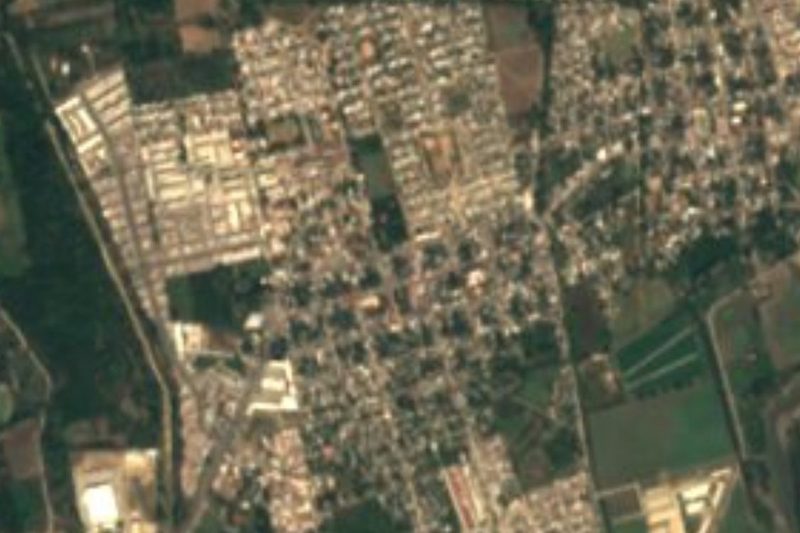
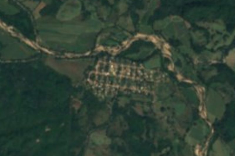
El Ranchito · Village · 4 km away
-
San Juan de Abajo · Town · 6 km away
-
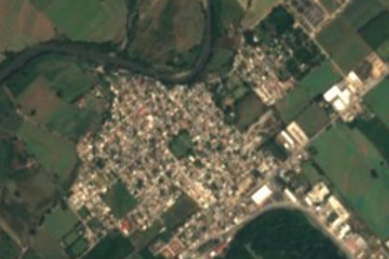
Ixtapa · Town · 8 km away
-
Las Palmas de Arriba · Town · 8 km away
-
San José del Valle · Town · 8 km away
-
Santa Rosa Tapachula · Village · 8 km away
-
El Porvenir · Town · 9 km away
-
San Vicente · Town · 10 km away
Near El Colorado



Drive times by road from OpenStreetMap, without traffic. Times marked ~ are estimated from the straight-line distance.
Location from OpenStreetMap. Written by Puebloteca.