Town Bahía de Banderas, Nayarit Municipality of Bahía de Banderas Banderas Bay Riviera Nayarit
Farming town in the Banderas valley, below the Sierra de Vallejo: a twin-towered parish, evening taco stands and a big May fiesta for Saint John.
From Puerto Vallarta: 30 min by car (31 km by road) How to get there ↓
Near here
See everything nearby ↓


Plan your visit to San Juan de Abajo
Where to stay near San Juan de Abajo
Compare hotels, posadas and guest houses in San Juan de Abajo.
Tours to San Juan de Abajo
Day trips around Sayulita sometimes stop in San Juan de Abajo; a tour is the easy way to see it without a car.
How to get to San Juan de Abajo
- From Puerto Vallarta: about 30 min by road (~31 km)
- Nearest airport: Puerto Vallarta (PVR), 41 min by car to Sayulita
Links open a partner site. We may earn a commission if you book, at no cost to you.
About San Juan de Abajo
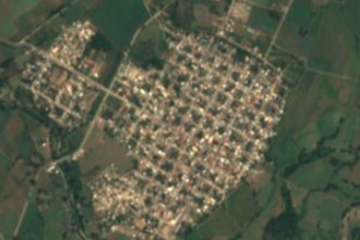
San Juan de Abajo is a farming town in the valley behind Banderas Bay, in the municipality of Bahía de Banderas, about 6 km east of the municipal seat, Valle de Banderas, and roughly half an hour by road from Puerto Vallarta. With about 11,000 inhabitants in the 2020 census it is one of the larger towns of the municipality, yet it lives from the land rather than from tourism: the irrigated fields around it grow maize, watermelon, beans, tobacco and tomatoes, much of the fresh produce that ends up in Vallarta's kitchens. To the north rise the forested slopes of the Sierra de Vallejo.
The town's landmark is the parish church of San Juan Bautista, with two slender towers about 28 m high, a Latin-cross plan with a dome over the crossing and a stone high altar. Unusually for a Mexican town, the church does not face the main plaza; the two stand apart. In the evenings, from about seven, tables go out on the pavements and taco and antojito stands open along the main streets and the central boulevard, and the town is known around the bay for its food.
The big event of the year is the fiesta of Saint John the Baptist, held for ten days from 15 May and ending on 24 May, a month ahead of the church calendar because of the rains. Each neighbourhood sends floats to the church door, there are fireworks, fairground rides, cockfights and jaripeos, and on the last day runners arrive with torches from Talpa de Allende, followed by a large procession that many emigrants come home for. In March the plaza hosts a Día del Taco. Cultural tours from Puerto Vallarta walk through the town together with Valle de Banderas, and the hills to the north offer hiking and mountain biking.
How to get to San Juan de Abajo
Drive from Puerto Vallarta: 30 min, 31 km
From Puerto Vallarta take Highway 200 north past the airport; drivers can turn inland at Mezcales on the road to San Juan de Abajo, or take the old road from Bucerías towards Valle de Banderas; both are paved. Routing on OpenStreetMap data gives about 34 km, roughly half an hour, from downtown Puerto Vallarta. Buses run from Puerto Vallarta to San Juan, and white San Juan de Abajo taxis work as shared colectivos. Pueblos cultural tours from Puerto Vallarta (Mondays and Thursdays) include transport.
Directions to San Juan de Abajo on Google Maps
Distances are in a straight line; the road is usually longer.
Links open a partner site. We may earn a commission if you book, at no cost to you.
From the nearest cities to San Juan de Abajo
- Puerto Vallarta · 31 km by road, 30 min
- Tepic · 127 km by road, 2 h
- Autlán · about 190 km by road, ~2 h 45 min
Drive times by road from OpenStreetMap, without traffic or stops. Times marked ~ are estimated from the straight-line distance.
Before you go to San Juan de Abajo: hours, prices and tips
- Best time of day
- Come in the evening: from about 7 pm taco and antojito stands set up tables along the main streets. Wikipedia · checked Oct 2026
- Best season
- The fiesta of Saint John the Baptist runs for ten days from 15 May and peaks on 24 May with the torch runners from Talpa and a large procession. Wikipedia · checked Oct 2026
- Guide or tour
- You can visit on your own; the Pueblos Cultural Tour from Puerto Vallarta (Mondays and Thursdays, about 109 US dollars for adults) combines San Juan de Abajo and Valle de Banderas with a cacao farm and a cooking class. Tours: Viator GetYourGuide Vallarta Adventures · checked Oct 2026
Hours and prices change, especially around holidays. Each fact links to where we checked it.
Visiting San Juan de Abajo: what to see and do
Visit the twin-towered parish church of San Juan Bautista.
Eat tacos and antojitos at the pavement stands that open in the evening along the main streets.
Come for the fiesta of Saint John the Baptist, 15 to 24 May, with floats, fireworks and the torch runners from Talpa.
Join the Día del Taco in the plaza in March.
Hike or mountain-bike in the Sierra de Vallejo foothills north of town.
Plan your trip
Places to stay in San Juan de Abajo
Compare hotels, posadas, and rentals in and around San Juan de Abajo.
Tours & activities
Day trips around Sayulita sometimes stop in San Juan de Abajo; a tour is the easy way to see it without a car.
Rental cars
Pick up a car at PVR (Puerto Vallarta): about 41 min by road to Sayulita, then 27 km more to San Juan de Abajo, on your own schedule.
Flights
The nearest airport with scheduled flights is Puerto Vallarta (PVR), about 41 min by road from Sayulita, the base for San Juan de Abajo.
Mobile data
Signal can drop away from Sayulita: download a map of the way to San Juan de Abajo before you set out, or carry an eSIM with data.
Links open a partner site. We may earn a commission if you book, at no cost to you.
When to go to San Juan de Abajo warm
San Juan de Abajo shares the climate of Sayulita, 27 km away. The best months to visit are March, April, May, and November.
See the month-by-month climate of Sayulita
Weather in San Juan de Abajo now and the next 7 days
Live forecast from Open-Meteo. Chance of rain is the day's highest.
The closest Pueblo Mágico: Sayulita

Sayulita is the Pueblo Mágico closest to San Juan de Abajo, with places to stay, food, and more to see.
Also close to
- Mascota · Jalisco · 53 km away
- Compostela · Nayarit · 56 km away
- Talpa de Allende · Jalisco · 62 km away
- San Sebastián del Oeste · Jalisco · 66 km away
- Amatlán de Cañas · Nayarit · 78 km away
Closest to San Juan de Abajo
-
Santa Rosa Tapachula · Village · 5 km away
-
El Colorado · Village · 6 km away
-
Valle de Banderas · Town · 6 km away
-
El Colomo · Village · 7 km away
-
San José del Valle · Town · 7 km away
-
Tebelchia · Village · 8 km away
-
El Porvenir · Town · 9 km away
-
El Ranchito · Village · 10 km away

Near San Juan de Abajo
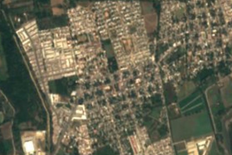



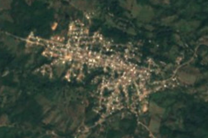


Drive times by road from OpenStreetMap, without traffic. Times marked ~ are estimated from the straight-line distance.
Location from OpenStreetMap. Written by Puebloteca.