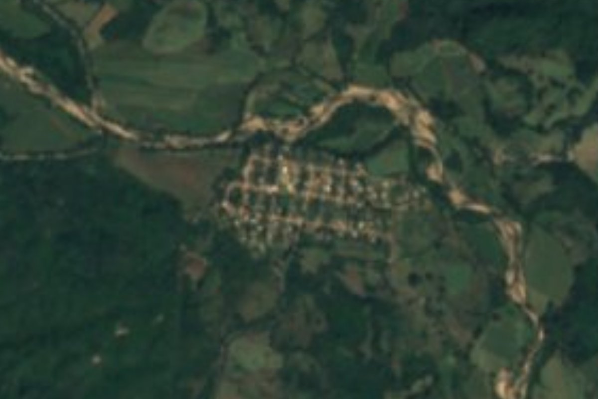
Village Puerto Vallarta, Jalisco Municipality of Puerto Vallarta Banderas Bay
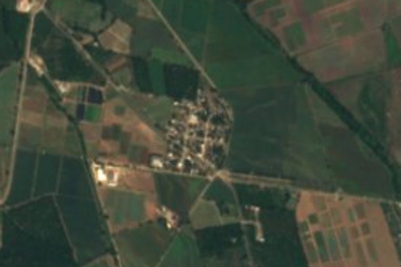
A growing village of about 660 people, also called El Roble, in the low country of northern Puerto Vallarta municipality near El Colomo.
From Puerto Vallarta: 50 min by car (48 km by road) How to get there ↓
Near here
See everything nearby ↓

Plan your visit to Tebelchia
Where to stay near Tebelchia
Compare hotels, posadas and guest houses in Tebelchia.
Tours to Tebelchia
Day trips and guided outings from Sayulita often include Tebelchia; with a local guide you can get there without a car.
 Tours from Bucerias
City tour express, Butterfly, tequila, river and beach (free kids)
★ 4.6 (238) · From US$22
How to get to Tebelchia
- From Puerto Vallarta: about 50 min by road (~48 km)
- Nearest airport: Puerto Vallarta (PVR), 41 min by car to Sayulita
Links open a partner site. We may earn a commission if you book, at no cost to you.
Tours from Bucerias, near Tebelchia


Tours, prices and ratings from Viator, checked weekly. We may earn a commission if you book.
About Tebelchia
Tebelchia, also known as El Roble, is a village in the far north of Puerto Vallarta municipality, well away from the city and the beaches, in the low, hot country close to the Nayarit border at about 60 metres above sea level. It is one of the larger rural communities of the municipality, ranked about twelfth by population.
Unlike many villages in the hills, it is growing: the census counted 491 people in 2005, 541 in 2010 and 665 in 2020, living in about 190 homes. Nearly every house has electricity and piped water, most families now have a mobile phone and about a third have a car, though internet is still rare. Its neighbours include El Colomo, with some 1,460 people, under 3 km to the north, and the much bigger Las Palmas de Arriba, with about 3,950, some 5 km to the southeast; the town of San Juan de Abajo is about 8 km away. Cerro Vallejo, at 1,133 m, rises to the northwest.
The climate is hot and humid: the average temperature is close to 25 °C, June is the warmest month and August the wettest, with about 1,400 mm of rain a year. There are no hotels or attractions in the village; it is a quiet working community and a glimpse of the countryside inland from Banderas Bay, best seen on a drive between Las Palmas and the Nayarit side of the valley.
How to get to Tebelchia
Drive from Puerto Vallarta: 50 min, 48 km
Tebelchia is about 50 km by road from downtown Puerto Vallarta. Routing on OpenStreetMap data takes the Las Varas–Puerto Vallarta highway (200D) north to San Juan de Abajo, then the road through El Colomo and the Camino Viejo a Puerto Vallarta to the village, roughly 50 minutes by car. Las Palmas de Arriba, the nearest large town, is about 5 km away.
Directions to Tebelchia on Google Maps
Distances are in a straight line; the road is usually longer.
Links open a partner site. We may earn a commission if you book, at no cost to you.
From the nearest cities to Tebelchia
- Puerto Vallarta · 48 km by road, 50 min
- Tepic · 120 km by road, 1 h 55 min
- Autlán · about 190 km by road, ~2 h 45 min
Drive times by road from OpenStreetMap, without traffic or stops. Times marked ~ are estimated from the straight-line distance.
Before you go to Tebelchia: hours, prices and tips
- Best season
- Hot all year, averaging about 25 °C; June is the warmest month and August the wettest, with about 1,400 mm of rain a year. January is the coolest month. PueblosAmérica · checked Oct 2026
Hours and prices change, especially around holidays. Each fact links to where we checked it.
Visiting Tebelchia: what to see and do
Drive through the countryside of northern Puerto Vallarta municipality, between Las Palmas and El Colomo.
See Cerro Vallejo, at 1,133 m, rising to the northwest of the valley.
Stop in Las Palmas de Arriba, the largest town nearby, about 5 km away.
Plan your trip
Places to stay in Tebelchia
Compare hotels, posadas, and rentals in and around Tebelchia.
Tours & activities
Day trips and guided outings from Sayulita often include Tebelchia; with a local guide you can get there without a car.
Rental cars
Pick up a car at PVR (Puerto Vallarta): about 41 min by road to Sayulita, then 32 km more to Tebelchia, on your own schedule.
Flights
The nearest airport with scheduled flights is Puerto Vallarta (PVR), about 41 min by road from Sayulita, the base for Tebelchia.
Mobile data
Signal can drop away from Sayulita: download a map of the way to Tebelchia before you set out, or carry an eSIM with data.
Links open a partner site. We may earn a commission if you book, at no cost to you.
When to go to Tebelchia warm
Tebelchia shares the climate of Sayulita, 32 km away. The best months to visit are March, April, May, and November.
See the month-by-month climate of Sayulita
Weather in Tebelchia now and the next 7 days
Live forecast from Open-Meteo. Chance of rain is the day's highest.
The closest Pueblo Mágico: Sayulita

Sayulita is the Pueblo Mágico closest to Tebelchia, with places to stay, food, and more to see.
Also close to
- Compostela · Nayarit · 48 km away
- Mascota · Jalisco · 52 km away
- Talpa de Allende · Jalisco · 62 km away
- San Sebastián del Oeste · Jalisco · 62 km away
- Ahuacatlán · Nayarit · 71 km away
Closest to Tebelchia
-
El Colomo · Village · 3 km away
-
El Coatante · Village · 5 km away
-
Las Palmas de Arriba · Town · 5 km away
-
Los Sauces · Village · 7 km away
-
San Juan de Abajo · Town · 8 km away
-
El Colorado · Village · 10 km away
-
Santa Rosa Tapachula · Village · 13 km away
-
Valle de Banderas · Town · 13 km away

Near Tebelchia



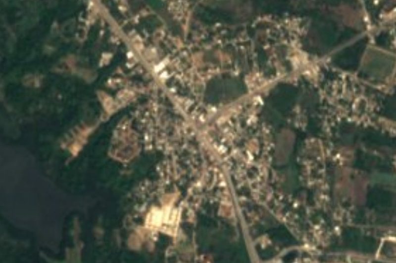

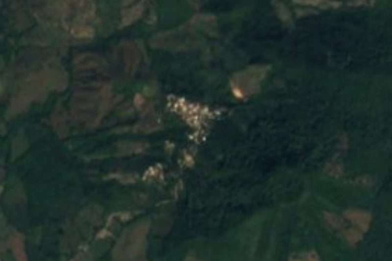
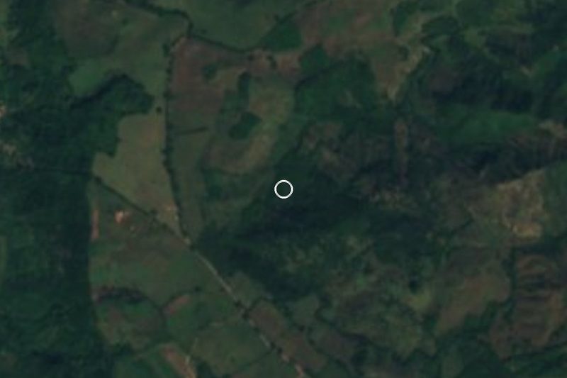
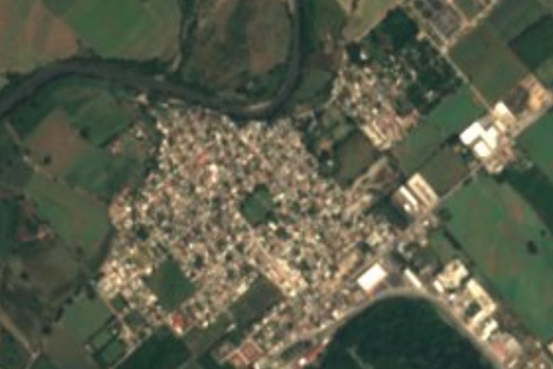
Drive times by road from OpenStreetMap, without traffic. Times marked ~ are estimated from the straight-line distance.
Location from OpenStreetMap. Written by Puebloteca.