

45 places with their own page in the municipality of Bahía de Banderas, in the state of Nayarit.
Pueblos Mágicos in Bahía de Banderas

Map of Bahía de Banderas
Places to visit in Bahía de Banderas
Towns · 15 Villages · 9 Beaches · 15 Nature reserves · 2 Mountains · 1 Landmarks and museums · 3
Towns
-
Las Jarretaderas · Town
The first town in Nayarit after the Ameca River bridge, an old ejido beside Nuevo Vallarta known for seafood joints and its surf-fishing tournament. -
Nuevo Vallarta · Town
Planned resort town just across the Ameca River from Puerto Vallarta: long beach, big hotels, canals, marinas and golf. Officially Nuevo Nayarit since 2022. -
San José del Valle · Town
One of the biggest towns of Bahía de Banderas, a fast-growing valley town near the Ameca River whose fiesta of Saint Joseph fills the streets each March. -
Valle de Banderas · Town
The farming town that gave Banderas Bay its name, now seat of Bahía de Banderas: a quiet plaza, an old church and fields below the Sierra de Vallejo. -
El Porvenir · Town
A working town of about 6,000 people in the farming valley of Bahía de Banderas, between San Vicente and San José del Valle. -
Bucerías · Town
A long, flat beach on Banderas Bay with gentle water, seafood restaurants, and a busy main square. -
La Cruz de Huanacaxtle · Town
A fishing town with a marina on Banderas Bay, known for its Sunday market and its morning fish market. -
Lo de Marcos · Town
A relaxed beach town up the coast, popular with Mexican families, with calm coves like Playa Los Venados nearby. -
San Pancho · Town
Sayulita's quieter neighbor: a long surf beach, a lively community center, and sunsets without the crowds. -
Punta de Mita · Town
The tip of Banderas Bay: luxury resorts, an easy surf beach in the village, and boats to the Marieta Islands. -
Mezcales · Town
Busy working town on Highway 200 between Nuevo Vallarta and Bucerías, one of the largest in Bahía de Banderas; taquerías, cenadurías and local life. -
San Juan de Abajo · Town
Farming town in the Banderas valley, below the Sierra de Vallejo: a twin-towered parish, evening taco stands and a big May fiesta for Saint John. -
San Vicente · Town
The most populous town of Bahía de Banderas, a valley town named for Saint Vincent Ferrer, with a church, a kiosk plaza and lively food streets. -
San Clemente de Lima · Town
Young valley town next to Mezcales that grew from a hamlet of under 200 people to nearly 10,000 in fifteen years; named for Saint Clement. -
Higuera Blanca · Town
A small farming village on the road to Punta de Mita, close to quiet beaches on the peninsula's north shore.


Villages
-
El Coatante · Village
A rural village of about 320 people on the old road to Puerto Vallarta, in the quiet northeast corner of Bahía de Banderas far from the beaches. -
El Colomo · Village
A farming village on the Ameca River, once the heart of the Maisterrena hacienda and in 1935 the first ejido of the Banderas Bay region. -
Los Sauces · Village
A hamlet of about 270 people in the remote northeast of Bahía de Banderas, three kilometers beyond El Coatante, with schools and little else. -
San Ignacio · Village
A fast-growing village on Highway 200 beside the Sayulita River, about 5 km by road from Sayulita, with fondas and taquerías. -
San Quintín · Village
A small hamlet on Highway 200 a few kilometers inland from Sayulita, which more than tripled in size between 2005 and 2020. -
Tondoroque · Village
A small roadside community on Highway 200 between Mezcales and Bucerías, next to the Flamingos golf course and a few minutes from the beach. -
Mezcalitos · Village
A small community on Boulevard Nuevo Vallarta, between Valle Dorado and Mezcales, a couple of kilometers from the resorts of Nuevo Vallarta. -
El Guamúchil · Village
A fast-growing roadside village in the hills on Highway 200 between Bucerías and Sayulita, about 280 m up, with schools and everyday life. -
Santa Rosa Tapachula · Village
Small farming village of the Bahía de Banderas valley, just south-east of the municipal seat, Valle de Banderas, far from the resort coast.




Beaches
-
Playa del Amor · Beach
The Hidden Beach of the Marietas: a patch of sand inside an open hollow in the rock, reached by swimming through a short sea tunnel. -
Litibú · Beach
A long sandy bay on the north side of the Punta de Mita peninsula, next to Higuera Blanca, with a Greg Norman golf course and beach resorts. -
Playa Destiladeras · Beach
A long, wide sweep of fine pale sand on the road to Punta de Mita, with seafood palapas, shallow water and waves for surfing and boogie boarding. -
Playa El Anclote · Beach
Punta de Mita's town beach: long, gentle waves for beginner surfers, a row of seafood palapas and the pangas that run to the Marietas. -
Playa La Manzanilla · Beach
La Cruz de Huanacaxtle's family beach: a mile-long crescent of grey sand with calm, shallow water and palapa restaurants on the sand. -
Playa Los Venados · Beach
A small, quiet bay just south of Lo de Marcos where big waves break into curtains of spray and the south end is calm, with a lookout on the hill. -
Playa Malpaso · Beach
A wild, mile-long beach between Sayulita and San Pancho, reached on foot by a jungle trail; strong rip currents make swimming dangerous. -
Playa Las Minitas · Beach
A small, secluded beach southwest of Lo de Marcos at the end of the Camino a Las Minitas, between the main beach and Playa Los Venados. -
Playa Pátzcuaro · Beach
A quiet, unsigned local favorite on the open coast just southwest of Sayulita, reached by a dirt track and a creek off the Punta de Mita road. -
Playa Careyeros · Beach
A quiet, almost undeveloped beach between Punta de Mita and Higuera Blanca, with clear turquoise water and a rough, poorly signed dirt road in. -
Playa La Lancha · Beach
A wild sand beach and point break east of Punta de Mita, reached on foot: lefts and rights for longboarders, best on winter swells. -
Playa Las Cuevas · Beach
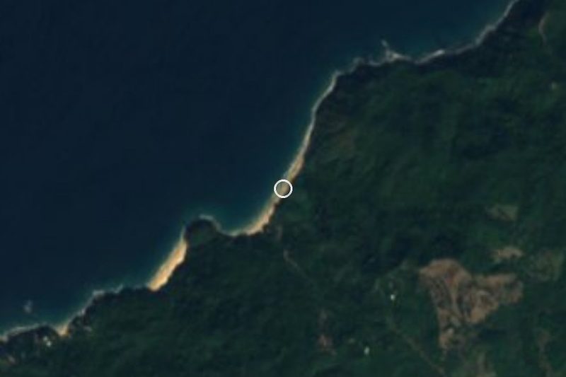
A small cove of white sand and weathered boulders north of Sayulita, reached by a jungle path, with a rock arch to Playa Malpaso at low tide. -
Playa Patzcuarito · Beach
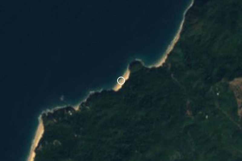
A tiny wild beach of dark sand southwest of Sayulita, reached by scrambling over the rocks from Carricitos; few people and big sunsets. -
Playa de Barro · Beach
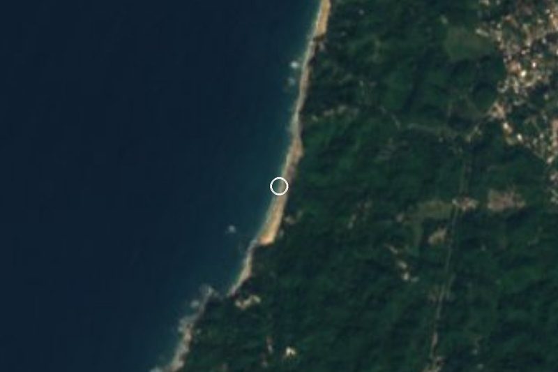
A remote jungle-backed beach north of San Pancho with a small natural mud bath and rock pools, reached by a long hike or a rough 4x4 road. -
Punta Monterrey · Beach
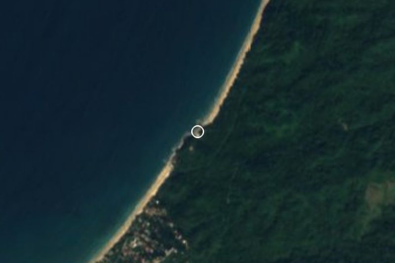
A secluded, jungle-backed point and beach between San Pancho and Lo de Marcos, reached by a dirt road; camping is not allowed.


Nature reserves
-
Sierra de Vallejo · Nature reserve
The jungle-covered coastal range behind Sayulita and the Bahía de Banderas valley, home to jaguars, 261 bird species and shade-grown coffee. -
Islas Marietas · Nature reserve
A protected island park off Punta de Mita, home of the famous Hidden Beach inside a crater-like hollow.


Mountains
-
Cerro del Mono · Mountain
Monkey Mountain: a rocky 320 m summit above Higuera Blanca, between Punta de Mita and Sayulita, with a 360-degree view of the Pacific coast.

Landmarks and museums
-
Paradise Village Marina · Landmark
A 200-berth marina in a sheltered estuary inside the Paradise Village resort in Nuevo Vallarta, base of the Vallarta Yacht Club. -
VidantaWorld · Landmark
Vast resort complex at the south end of Nuevo Vallarta: golf, the PGA Tour Mexico Open, Cirque du Soleil's LUDŌ and the new BON theme park. -
Aquaventuras Park · Landmark
Water park on Highway 200 at the entrance to Nuevo Vallarta, ten minutes from the airport: slides, a lazy river, zip line and a dolphin and sea lion habitat.


Neighbouring municipalities
More of Nayarit
Every place in Nayarit → Lakes and Lagoons in Nayarit · 3 Beaches in Nayarit · 25 Islands in Nayarit · 3 Nature Parks in Nayarit · 6