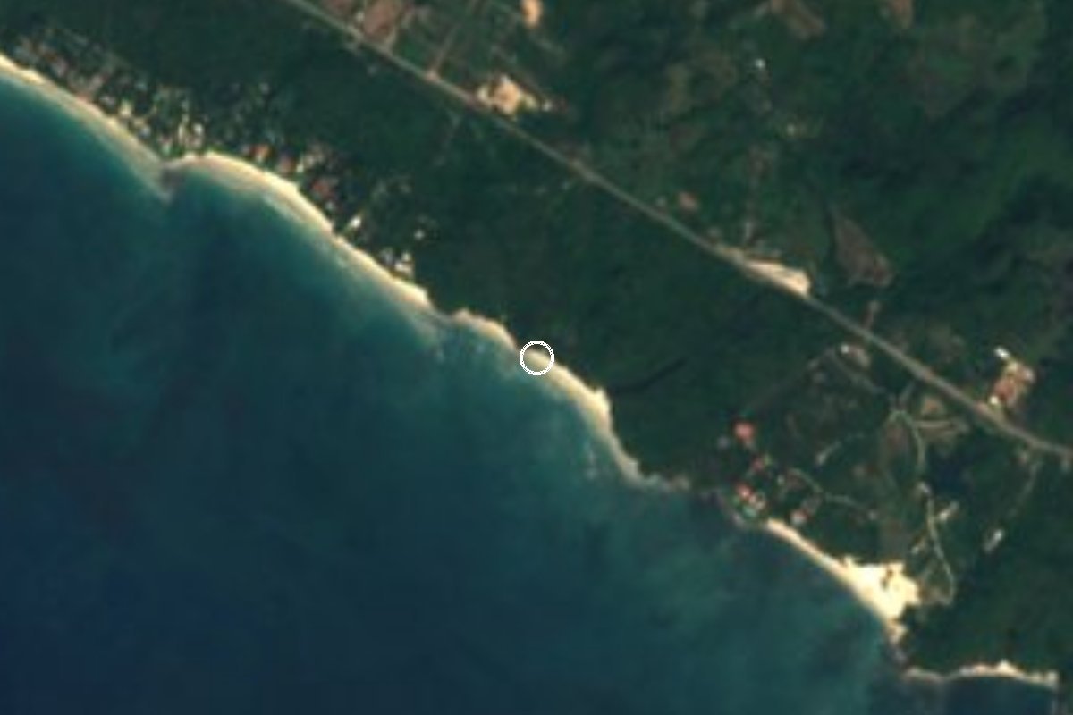
Beach Bahía de Banderas, Nayarit Municipality of Bahía de Banderas Banderas Bay Riviera Nayarit
A wild sand beach and point break east of Punta de Mita, reached on foot: lefts and rights for longboarders, best on winter swells.
Reached on foot from Punta de Mita: 35 min each way. How to get there ↓
Near here
See everything nearby ↓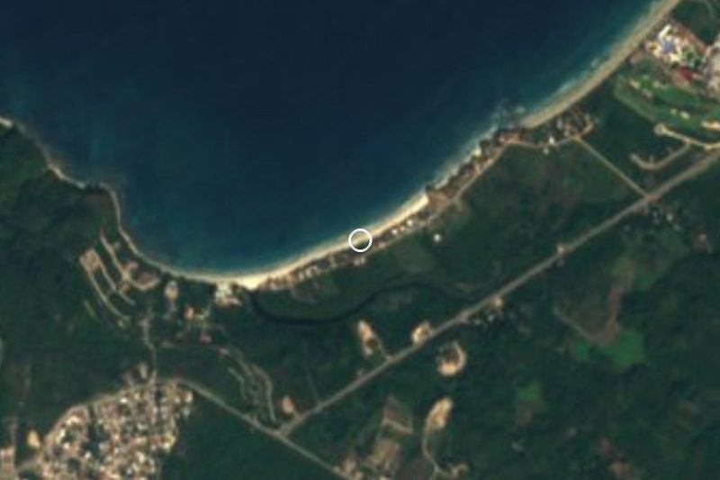



Plan your visit to Playa La Lancha
Where to stay near Playa La Lancha
Compare hotels, posadas and guest houses in Playa La Lancha.
Tours to Playa La Lancha
Day trips and guided outings from Sayulita often include Playa La Lancha; with a local guide you can get there without a car.
 Tours from Sayulita
Yelapa & Secluded Private Beach ALL INCLUSIVE Adventure
★ 4.8 (2,559) · From US$135
How to get to Playa La Lancha
- Reached on foot from Punta de Mita: 35 min each way.
- From Puerto Vallarta: about 50 min by road (~44 km)
- Nearest airport: Puerto Vallarta (PVR), 41 min by car to Sayulita
Links open a partner site. We may earn a commission if you book, at no cost to you.
Tours from Sayulita, near Playa La Lancha


Tours, prices and ratings from Viator, checked weekly. We may earn a commission if you book.
About Playa La Lancha
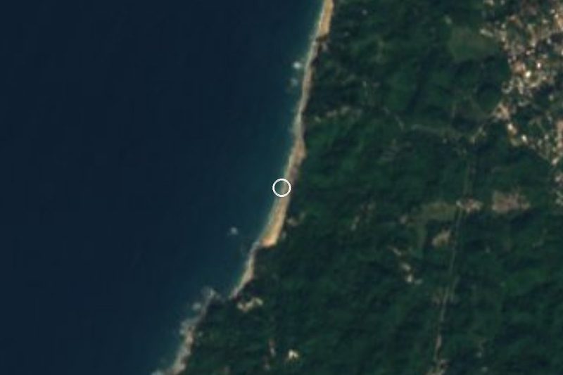
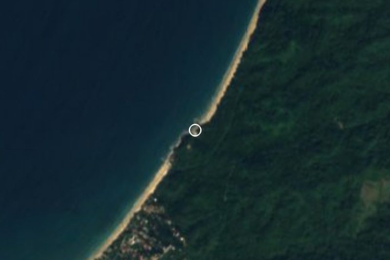
Playa La Lancha is a sand beach on the bay side of the Punta de Mita peninsula, in the Nayarit municipality of Bahía de Banderas, about 2 km east of the surf breaks off Punta de Mita town. It faces south into Banderas Bay below the road that runs out to the point, on a coast where much of the land behind the sand is private, and it has kept the feel of an undeveloped beach. There are no buildings or services on the sand itself.
La Lancha is above all a surf spot. Surf guides describe it as an exposed point break with fairly consistent waves that peel both left and right, at its best on distant west-northwest groundswells with offshore winds from the west, and in winter. The Wikivoyage guide to Punta Mita recommends it for longboarding, especially around the incoming or outgoing tide. Surfers warn about sea urchins and rocks in the water, a reputation for localism, and access across private land, so it pays to be polite and to watch where you step and paddle. The peninsula around it has several other breaks, from Punta de Mita town to El Anclote and the reefs beyond.
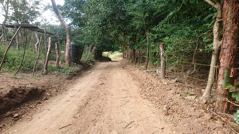
Getting there is part of the trip. You walk to La Lancha: Wikivoyage puts it at about 30 to 40 minutes on foot from Punta de Mita, or you hire a boat. OpenStreetMap shows a footpath down to the beach from the Punta de Mita road near the Pemex station, where a surf school and a café named after the beach stand by the highway. Bring water and shade, as there is nothing to buy on the sand.
How to get to Playa La Lancha
Drive from Puerto Vallarta to Punta de Mita: 50 min, 44 km
From Puerto Vallarta, take Highway 200 north past Bucerías, then the Punta de Mita road (Carretera a Punta de Mita) west along the bay; La Lancha is below the road about 2 km before Punta de Mita town, and a footpath leads down from near the Pemex station. Punta de Mita is about 15 km southwest of Sayulita and 17.5 km west of La Cruz de Huanacaxtle. Buses marked Punta Mita leave from the Walmart stop near Marina Vallarta, and direct buses also run from the Puerto Vallarta airport (cross the highway on the footbridge); they run along the Punta de Mita road past the path, or you can walk 30 to 40 minutes from Punta de Mita town. You can also hire a boat in Punta de Mita.
Reached on foot from Punta de Mita: 35 min each way.
Directions to Playa La Lancha on Google Maps
Distances are in a straight line; the road is usually longer.
Links open a partner site. We may earn a commission if you book, at no cost to you.
From the nearest cities to Playa La Lancha
- Puerto Vallarta · 44 km by road, 50 min to Punta de Mita, then 35 min on foot
- Tepic · 143 km by road, 2 h 5 min to Punta de Mita, then 35 min on foot
- Autlán · about 215 km by road, ~3 h 10 min to Punta de Mita, then 35 min on foot
Drive times by road from OpenStreetMap, without traffic or stops. Times marked ~ are estimated from the straight-line distance.
Before you go to Playa La Lancha: hours, prices and tips
- Time needed
- About 30 to 40 minutes on foot each way from Punta de Mita, or hire a boat. Wikivoyage · checked Oct 2026
- Best season
- For surfing, winter, on west-northwest groundswells with offshore winds from the west; longboarders favour the incoming or outgoing tide. Surf-Forecast.com · checked Oct 2026
- Rules
- Watch for sea urchins and rocks, respect the local surfers, and mind that access crosses private land. Surf-Forecast.com · checked Oct 2026
Hours and prices change, especially around holidays. Each fact links to where we checked it.
Visiting Playa La Lancha: what to see and do
Surf the left and right point break on a winter west-northwest swell.
Longboard the mellow waves around mid tide.
Walk the undeveloped sand, one of the few on this side of the peninsula.
Rent a board or book a lesson at the surf school by the highway, near the path down.
Plan your trip
Places to stay in Playa La Lancha
Compare hotels, posadas, and rentals in and around Playa La Lancha.
Tours & activities
Day trips and guided outings from Sayulita often include Playa La Lancha; with a local guide you can get there without a car.
Rental cars
Pick up a car at PVR (Puerto Vallarta): about 41 min by road to Sayulita, then 13 km more to Playa La Lancha, on your own schedule.
Flights
The nearest airport with scheduled flights is Puerto Vallarta (PVR), about 41 min by road from Sayulita, the base for Playa La Lancha.
Travel insurance
If you plan on swimming or surfing at Playa La Lancha, check that your policy covers it: some plans leave adventure activities out.
Mobile data
Signal can drop away from Sayulita: download a map of the way to Playa La Lancha before you set out, or carry an eSIM with data.
Links open a partner site. We may earn a commission if you book, at no cost to you.
When to go to Playa La Lancha warm
Playa La Lancha shares the climate of Sayulita, 13 km away. The best months to visit are March, April, May, and November.
Playa La Lancha is best for swimming and time on the water in the warmest months (June, July, and August); in the rainiest ones (July, August, and September) expect storms in the afternoon.
See the month-by-month climate of Sayulita
Weather in Playa La Lancha now and the next 7 days
Live forecast from Open-Meteo. Chance of rain is the day's highest.
The closest Pueblo Mágico: Sayulita

Sayulita is the Pueblo Mágico closest to Playa La Lancha, with places to stay, food, and more to see.
Also close to
- Mascota · Jalisco · 78 km away
Closest to Playa La Lancha
-
Playa Careyeros · Beach · 3 km away
-
Playa El Anclote · Beach · 3 km away
-
Punta de Mita · Town · 3 km away
-
Litibú · Beach · 4 km away
-
Higuera Blanca · Town · 5 km away
-
Cerro del Mono · Mountain · 7 km away
-
Playa Destiladeras · Beach · 7 km away
-
Playa Pátzcuaro · Beach · 10 km away

Near Playa La Lancha





Drive times by road from OpenStreetMap, without traffic. Times marked ~ are estimated from the straight-line distance.
Lists with Playa La Lancha
Beaches in Nayarit · 25 Beaches near Sayulita · 42 Beaches near Puerto Vallarta · 40Location from OpenStreetMap. Written by Puebloteca.