Mountain Bahía de Banderas, Nayarit Municipality of Bahía de Banderas Banderas Bay Riviera Nayarit
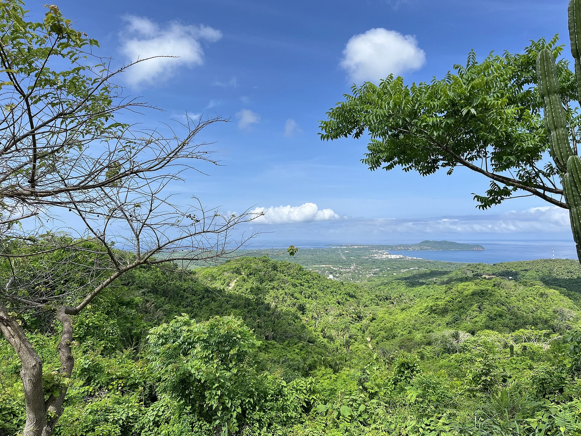
Monkey Mountain: a rocky 320 m summit above Higuera Blanca, between Punta de Mita and Sayulita, with a 360-degree view of the Pacific coast.
Reached on foot from Higuera Blanca: 1 h 5 min each way. How to get there ↓
Near here
See everything nearby ↓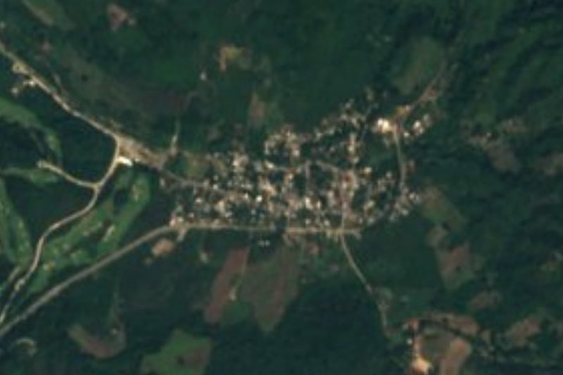

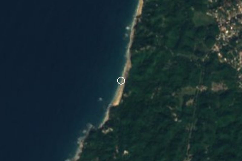
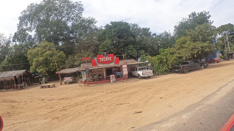
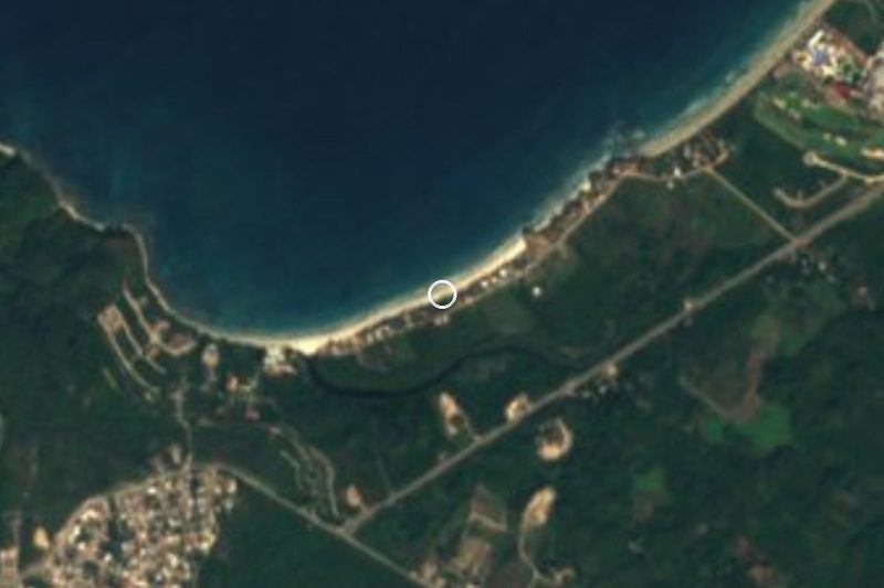
Plan your visit to Cerro del Mono
Where to stay near Cerro del Mono
Compare hotels, posadas and guest houses in Cerro del Mono.
Tours to Cerro del Mono
Day trips and guided outings from Sayulita often include Cerro del Mono; with a local guide you can get there without a car.
 Private Tour of Cerro del Mono
From US$77
How to get to Cerro del Mono
- Reached on foot from Higuera Blanca: 1 h 5 min each way.
- From Puerto Vallarta: about 55 min by road (~48 km)
- Nearest airport: Puerto Vallarta (PVR), 41 min by car to Sayulita
Links open a partner site. We may earn a commission if you book, at no cost to you.
Popular tours to Cerro del Mono
Tours, prices and ratings from Viator, checked weekly. We may earn a commission if you book.
About Cerro del Mono
Cerro del Mono, Monkey Mountain to the many foreigners who climb it, is a forested hill about 320 m high rising behind the coast at the northern tip of Banderas Bay, in the municipality of Bahía de Banderas. It is not in Sayulita or San Pancho, as often assumed: the summit stands under 3 km north of the village of Higuera Blanca, a few kilometres inland from Punta de Mita, above Litibú beach and some 6 km southwest of Sayulita. A monkey-face mural in Higuera Blanca greets hikers on their way.
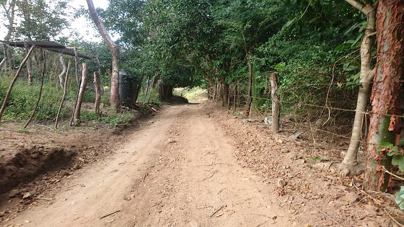
The usual route starts at the plaza of Higuera Blanca and heads north along Calle Juan Escutia, across an arroyo and up a dirt track that turns into a footpath. The first half is an easy walk through open country and cattle land; the second climbs through dry tropical forest of figs and palms to a steep, sandy pitch and a final scramble over boulders to a small summit with room for only a few people. It is about 7 km there and back with around 300 m of climbing, roughly an hour up for most walkers and two to three hours in all. Longer routes come from Sayulita, an 18 km loop of five hours or more, and from the Playa Pátzcuaro road.
The reward is a 360-degree panorama: the Pacific, the Punta de Mita peninsula, Litibú, Playa Pátzcuaro and Sayulita along the coast, and the Sierra inland. Hawks, hummingbirds, woodpeckers, lizards and iguanas are common along the way. There is no shade at the top, so go early, or for the sunset with a headlamp for the way down, and avoid the muddy, hazy months of the summer rains.
How to get to Cerro del Mono
Drive from Puerto Vallarta to Higuera Blanca: 55 min, 48 km
The trailhead is the plaza of Higuera Blanca. From Puerto Vallarta drive north on Highway 200 towards Punta de Mita, turn right at the T-junction just before Punta de Mita and continue about 4 km to the village, entered under a large arch; the trail leaves northwards on Calle Juan Escutia on the east side of town. From Sayulita it is about 20 minutes by taxi; public transport does not reach the trailhead and return rides are hard to find, so arrange a round trip with a driver who waits. The long route on foot starts at the west end of Sayulita, on Niños Héroes where it meets the Loma Alta road.
Reached on foot from Higuera Blanca: 1 h 5 min each way.
Directions to Cerro del Mono on Google Maps
Distances are in a straight line; the road is usually longer.
Links open a partner site. We may earn a commission if you book, at no cost to you.
From the nearest cities to Cerro del Mono
- Puerto Vallarta · 48 km by road, 55 min to Higuera Blanca, then 1 h 5 min on foot
- Tepic · 137 km by road, 2 h to Higuera Blanca, then 1 h 5 min on foot
- Autlán · about 210 km by road, ~3 h 5 min to Higuera Blanca, then 1 h 5 min on foot
Drive times by road from OpenStreetMap, without traffic or stops. Times marked ~ are estimated from the straight-line distance.
Before you go to Cerro del Mono: hours, prices and tips
- Time needed
- About 7 km round trip from Higuera Blanca with roughly 270 to 320 m of climbing; 2 to 3 hours in all. The loop from Sayulita is about 18 km and 5 hours or more. Live Punta Mita · checked Oct 2026
- Best time of day
- Start early, before the heat; in summer set off about 30 minutes before sunrise. Sunset climbs are popular, but bring a headlamp for the descent. Live Punta Mita · checked Oct 2026
- Best season
- Best in the dry season, November to May; in the summer rains the trail is muddy and the views often hazy. Away Go We · checked Oct 2026
- Guide or tour
- No guide needed: the Higuera Blanca route is easy to follow alone with a GPS hiking app such as Wikiloc or AllTrails. Live Punta Mita · checked Oct 2026
- What to bring
- Plenty of water, sunscreen and a hat (there is no shade at the top), insect repellent and shoes with good grip; no flip-flops. Away Go We · checked Oct 2026
Hours and prices change, especially around holidays. Each fact links to where we checked it.
Visiting Cerro del Mono: what to see and do
Hike from the plaza of Higuera Blanca up to the rocky summit, about an hour each way.
Scramble the final boulders for a 360-degree view of Punta de Mita, Litibú and Sayulita.
Time the climb for sunrise or sunset, with a headlamp for the walk down.
Watch for hawks, hummingbirds and iguanas in the dry forest.
For a full day, walk the long loop from Sayulita instead.
Plan your trip
Places to stay in Cerro del Mono
Compare hotels, posadas, and rentals in and around Cerro del Mono.
Tours & activities
Day trips and guided outings from Sayulita often include Cerro del Mono; with a local guide you can get there without a car.
Rental cars
Pick up a car at PVR (Puerto Vallarta): about 41 min by road to Sayulita, then 6 km more to Cerro del Mono, on your own schedule.
Flights
The nearest airport with scheduled flights is Puerto Vallarta (PVR), about 41 min by road from Sayulita, the base for Cerro del Mono.
Travel insurance
If you plan on hiking at altitude at Cerro del Mono, check that your policy covers it: some plans leave adventure activities out.
Mobile data
Signal can drop away from Sayulita: download a map of the way to Cerro del Mono before you set out, or carry an eSIM with data.
Links open a partner site. We may earn a commission if you book, at no cost to you.
When to go to Cerro del Mono warm
Cerro del Mono shares the climate of Sayulita, 6 km away. The best months to visit are March, April, May, and November.
For the clearest views from Cerro del Mono, go in the driest months (March, April, May, and November); in the rains, clouds tend to build up by midday.
See the month-by-month climate of Sayulita
Weather in Cerro del Mono now and the next 7 days
Live forecast from Open-Meteo. Chance of rain is the day's highest.
The closest Pueblo Mágico: Sayulita

Sayulita is the Pueblo Mágico closest to Cerro del Mono, with places to stay, food, and more to see.
Also close to
- Compostela · Nayarit · 75 km away
- Mascota · Jalisco · 78 km away
Closest to Cerro del Mono
-
Higuera Blanca · Town · 3 km away
-
Litibú · Beach · 3 km away
-
Playa Pátzcuaro · Beach · 3 km away
-
Playa Patzcuarito · Beach · 4 km away
-
San Ignacio · Village · 5 km away
-
Playa Careyeros · Beach · 6 km away
-
San Quintín · Village · 6 km away
-
Playa La Lancha · Beach · 7 km away
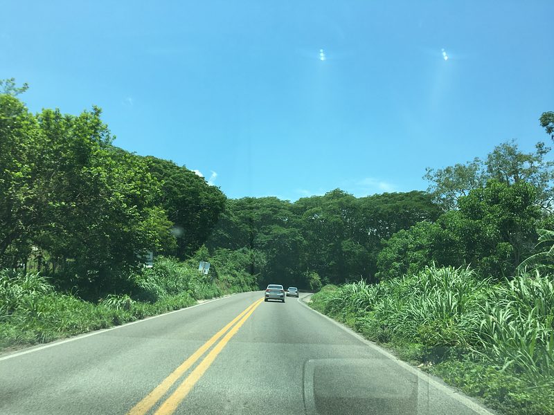
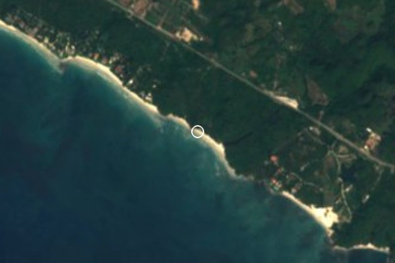
Near Cerro del Mono
-
Islas Marietas · Nature reserve · Nayarit
1 h 20 min: 1 h 5 min on foot back to Higuera Blanca, then drive -
Playa Destiladeras · Beach · Nayarit
1 h 25 min: 1 h 5 min on foot back to Higuera Blanca, then drive -
Playa La Manzanilla · Beach · Nayarit
1 h 25 min: 1 h 5 min on foot back to Higuera Blanca, then drive -
La Cruz de Huanacaxtle · Town · Nayarit
1 h 25 min: 1 h 5 min on foot back to Higuera Blanca, then drive





Drive times by road from OpenStreetMap, without traffic. Times marked ~ are estimated from the straight-line distance.
Lists with Cerro del Mono
Mountains near Puerto Vallarta · 3Location from OpenStreetMap. Written by Puebloteca.