

33 places with their own page in the municipality of San Blas, in the state of Nayarit.
Pueblos Mágicos in San Blas

Map of San Blas
Places to visit in San Blas
Towns · 2 Villages · 22 Beaches · 2 Islands · 1 Nature reserves · 2 Viewpoints · 2 Landmarks and museums · 2
Towns
-
Aticama · Town
A seaside village on Matanchén Bay famous for fresh oysters, with a waterfront promenade lined with seafood restaurants. -
Santa Cruz de Miramar · Town
A quiet fishing village south of Matanchén with pebbly beaches, good surf, rock oysters and an old 19th-century German house.


Villages
-
La Palma · Village
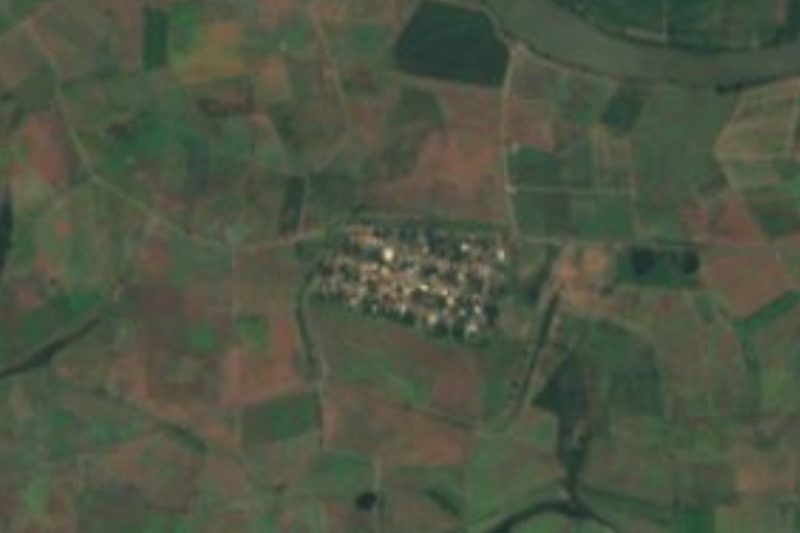
An inland village of about 1,200 people two kilometers behind Aticama, on the bus route to Playa Los Cocos south of San Blas. -
Chacalilla · Village
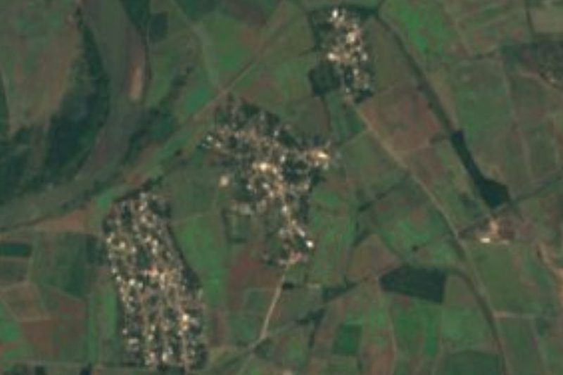
Ejido village of about 540 people north of San Blas, built over a Postclassic Aztatlán town where archaeologists found ten sacrificed skulls. -
Boca del Asadero · Village
A small fishing village by the mouth of the Río Grande de Santiago, north-west of San Blas, at the end of a road through farmland and shrimp ponds. -
El Capomo · Village
A farming hamlet of about 160 people on the bean fields of the northern San Blas plain, at the end of a dirt road off the Guadalupe Victoria highway. -
El Carleño · Village
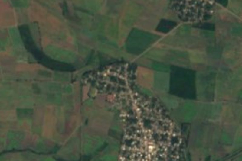
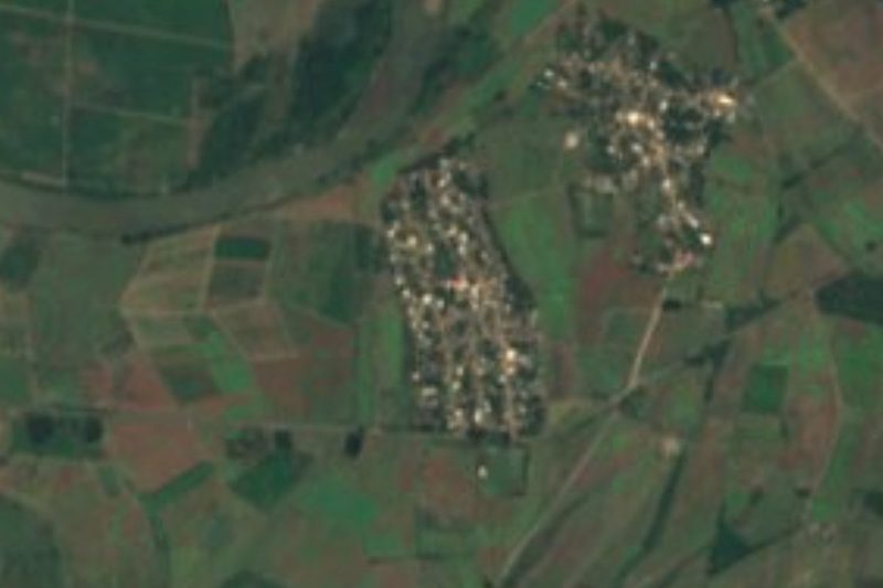
A farming village of about 350 people just north of Guadalupe Victoria, on the bean-growing plain of the Río Grande de Santiago delta. -
El Limón · Village
Village of about 460 people near the mouth of the Río Grande de Santiago, the westernmost of the Laureles y Góngora ejido, about 4 km from the sea. -
El Madrigaleño · Village
Growing farm village of about 830 people right next to Guadalupe Victoria, on the bean-growing delta plain north of San Blas. -
Guadalupe Victoria · Village
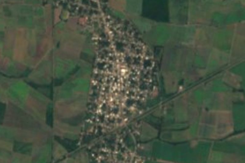
Farming town of about 3,000 on the coastal plain north of San Blas, known locally as La Virocha, among bean fields, estuaries and shrimp farms. -
Huaristemba · Village
Farming ejido of about 700 people inland from San Blas, on a branch road off the Tepic highway; in 1857 it marked the road from Tepic to the north. -
Isla del Conde · Village
Farming village of about 400 people on the south bank of the lower Río Grande de Santiago, among bean fields and shrimp ponds north of San Blas. -
La Bajada · Village
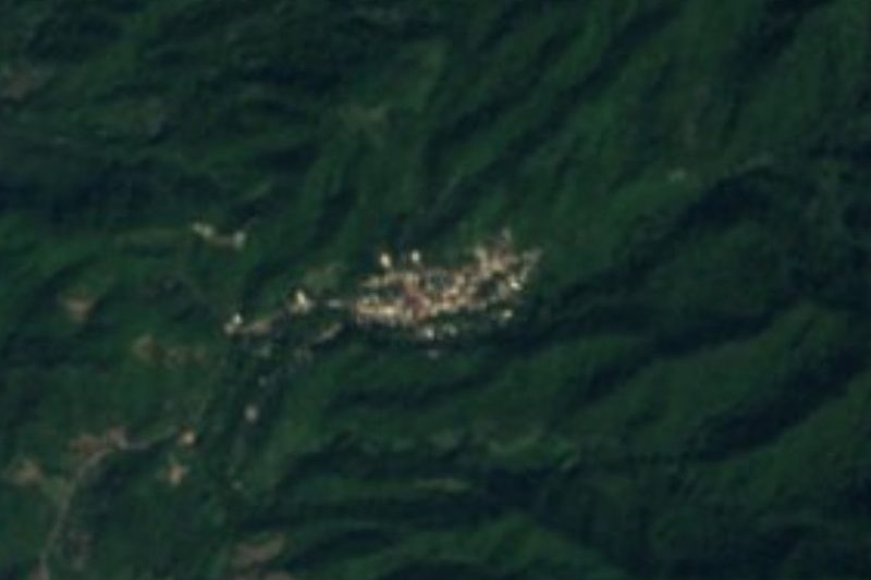
A hill village of about 450 people above La Palma, inland from Matanchén Bay; its forest and plantations are a stop on the San Blas Christmas Bird Count. -
Las Palmas · Village
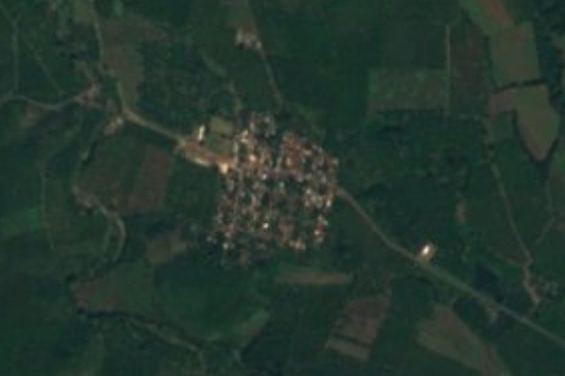
A farming village of about 180 people on highway 74 between Tepic and San Blas, an old ejido of the Navarrete hacienda lands. -
Laureles y Góngora · Village
Ejido village of about 550 people, also called El Ciruelo, half a kilometer from the lower Río Grande de Santiago north of San Blas. -
Aután · Village
A farming village of about 1,650 people on the flat coastal plain north of San Blas, two kilometers from Guadalupe Victoria. -
El Espino · Village
A hamlet of 75 people in the wooded hills of southern San Blas, about 3 km south of Jolotemba and 2 km off the road to Ixtapa de la Concepción. -
El Llano · Village
A crossroads village on the Tepic road, two and a half kilometers before Santa Cruz de Miramar, with cenadurías, taquerías and a gas station. -
Jolotemba · Village
A roadside village of about 300 people south of Santa Cruz de Miramar, on the way to Playa El Limoncito, whose public access the ejido has fought for. -
La Chiripa · Village
A village of about 370 people on the San Blas to Guadalupe Victoria road, among shrimp ponds and farmland 20 minutes north of the port. -
La Libertad · Village
A foothill village of about 1,650 people off the San Blas road, some 13 km inland from the port and a short drive from Singayta. -
Pimientillo · Village
A small village on the south bank of the Río Grande de Santiago in the north of San Blas, near Guadalupe Victoria (La Virocha). -
Playa de Ramírez · Village
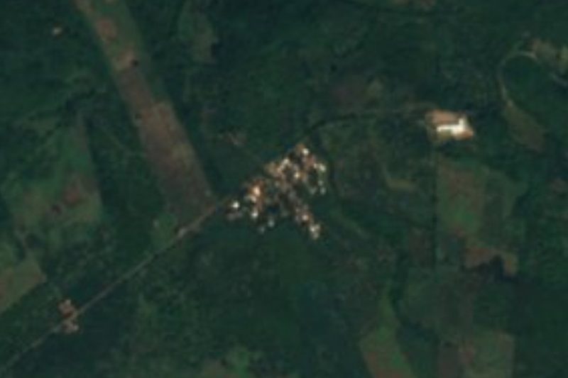
Despite the name, an inland hamlet of about 100 people on the farm plain of northern San Blas, 1.5 km from the Río Grande de Santiago. -
Reforma Agraria · Village
A village of about 580 people, also called La Colorada, among irrigation canals on the low plain about 16 km northeast of San Blas.

Beaches
-
Playa El Borrego · Beach
San Blas's town beach: almost 3 km of soft sand at the end of Calle Azueta, with seafood palapas, beginner surf and sunsets. -
Bahía de Matanchén · Beach
A wide bay south of San Blas with calm swimming beaches, seafood palapas, and the famous long wave at Las Islitas.


Islands
-
Piedra Blanca · Island
White sea rock off Isla del Rey, crowned by San Blas's sailors' Virgin and held by the Wixárika as Tatéi Haramara, where life emerged from the sea.

Nature reserves
-
La Tovara · Nature reserve
Boat rides through mangrove tunnels to a clear spring where you can swim, with crocodiles and herons on the way. -
Singayta · Nature reserve
A small ecotourism village on the road to Tepic with boat rides and trails for birdwatching in mangroves and forest.

Viewpoints
-
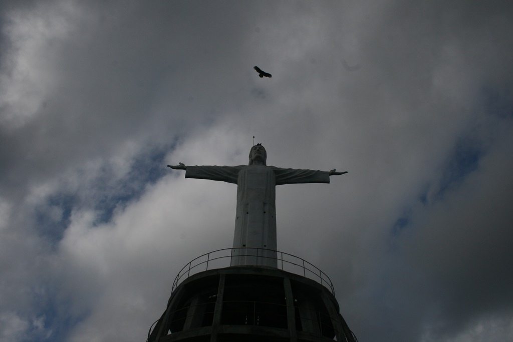
Monumento a Cristo Rey · Viewpoint
A white statue of Christ on a hill above Puerto Balleto, reached by a guided uphill hike with views over the island. -
Mirador Punta Halcones · Viewpoint
A windy lookout on the island's southern tip, visited on guided tours for sunset and views toward María Magdalena.
Landmarks and museums
-
Cerro de la Contaduría · Landmark
The hill above San Blas with the ruined 18th-century fort and counting house, old cannons, and the roofless church of La Marinera. -
Laguna del Toro · Landmark
The former maximum-security prison of the Islas Marías penal colony, now visited on guided tours as a place of memory.

Neighbouring municipalities
Compostela · 29 Bahía de Banderas · 45
More of Nayarit
Every place in Nayarit → Lakes and Lagoons in Nayarit · 3 Beaches in Nayarit · 25 Islands in Nayarit · 3 Nature Parks in Nayarit · 6