Village San Blas, Nayarit Municipality of San Blas Banderas Bay Riviera Nayarit
Farming village of about 400 people on the south bank of the lower Río Grande de Santiago, among bean fields and shrimp ponds north of San Blas.
Near here
See everything nearby ↓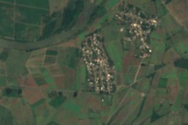
Plan your visit to Isla del Conde
Where to stay near Isla del Conde
Compare hotels, posadas and guest houses in Isla del Conde.
Tours to Isla del Conde
Day trips and guided outings from San Blas often include Isla del Conde; with a local guide you can get there without a car.
 Tours from Sayulita
Yelapa & Secluded Private Beach ALL INCLUSIVE Adventure
★ 4.8 (2,559) · From US$135
How to get to Isla del Conde
- Nearest airport: Tepic (TPQ), 1 h 5 min by car to San Blas
Links open a partner site. We may earn a commission if you book, at no cost to you.
Tours from Sayulita, near Isla del Conde


Tours, prices and ratings from Viator, checked weekly. We may earn a commission if you book.
About Isla del Conde
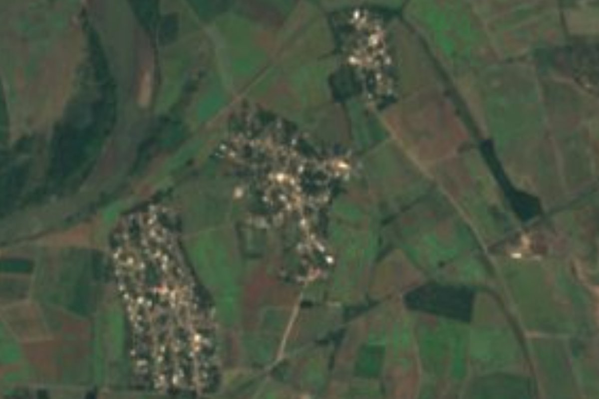
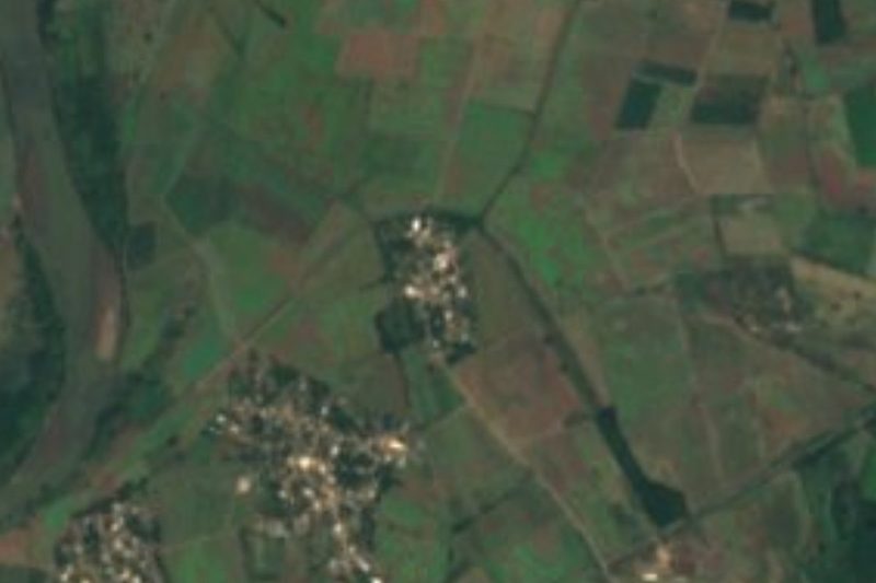
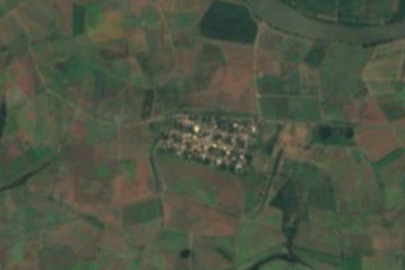
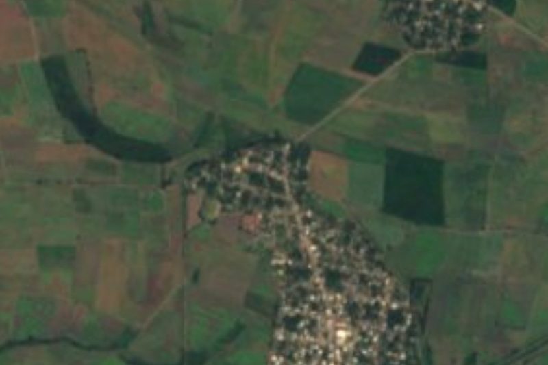
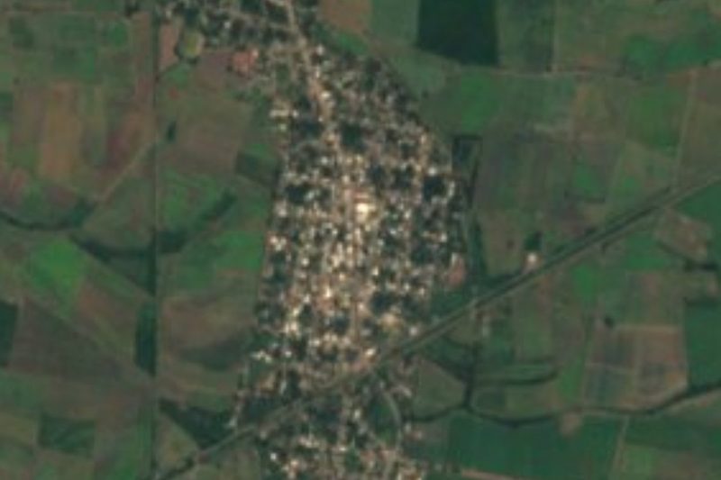
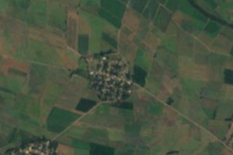
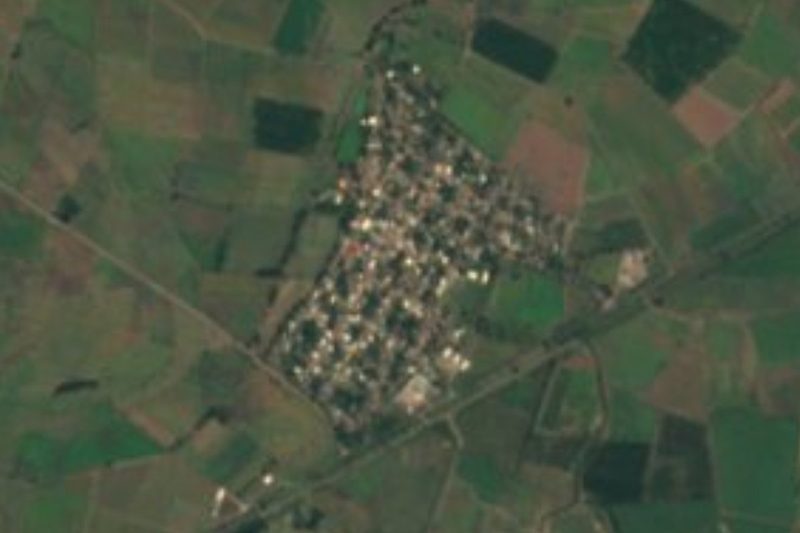
Isla del Conde is a small farming village in the north of the municipality of San Blas, Nayarit, about 8 meters above sea level on the flat delta country of the Río Grande de Santiago. The river runs less than a kilometer to the north on its last stretch to the Pacific, and the coast at Boca del Asadero is about 6 kilometers to the west. The village forms a cluster with Laureles y Góngora (El Ciruelo), which begins a few hundred meters away, El Limón a little farther west and the hamlet of Playa de Ramírez, and the larger village of Guadalupe Victoria lies about 4 kilometers to the east.
The 2020 census counted 405 people in 129 occupied homes, slightly fewer than in 2010 and 2005. It is a community of ejido farmers: the low, wet land around it is used for beans and other crops, and in 2023 its farmers joined neighbors in Laureles y Góngora, Guadalupe Victoria and other villages in asking the state government for help leveling their fields after poor seasons. The area is officially recognized as a zone of low prevalence for fruit flies. Between Isla del Conde and El Ciruelo there are kindergartens, primary schools and a telesecundaria.
There is nothing set up for visitors, and that is the honest appeal: this is the working countryside of the San Blas coast, a landscape of fields, canals, estuaries and shrimp ponds that belongs to the southern edge of the great Marismas Nacionales wetlands. It is an easy detour on the paved road between San Blas and Guadalupe Victoria, and a back way toward the island town of Mexcaltitán. The climate is hot, averaging about 25 °C, with the heaviest rain in August.
How to get to Isla del Conde
From San Blas, leave town toward Tepic and take the paved road north to Guadalupe Victoria (Ramal San Blas–Guadalupe Victoria); Isla del Conde is reached from this road and lies about 4 km west of Guadalupe Victoria. It is about 21 to 22 km from San Blas, roughly half an hour by car.
Directions to Isla del Conde on Google Maps
Distances are in a straight line; the road is usually longer.
Links open a partner site. We may earn a commission if you book, at no cost to you.
Before you go to Isla del Conde: hours, prices and tips
- Best season
- January is the coolest month (about 22 °C on average), June the hottest (about 28 °C) and August the wettest; it rains on around 151 days a year. PueblosAmerica · checked Oct 2026
Hours and prices change, especially around holidays. Each fact links to where we checked it.
Visiting Isla del Conde: what to see and do
See the bean fields and canals of the Río Grande de Santiago delta.
Look out over the lower Río Grande de Santiago, less than a kilometer north of the village.
Continue west toward the coast at Boca del Asadero, near the mouth of the river.
Visit Guadalupe Victoria, the area's main town, about 4 km east.
Plan your trip
Places to stay in Isla del Conde
Compare hotels, posadas, and rentals in and around Isla del Conde.
Tours & activities
Day trips and guided outings from San Blas often include Isla del Conde; with a local guide you can get there without a car.
Rental cars
Pick up a car at TPQ (Tepic): about 1 h 5 min by road to San Blas, then 16 km more to Isla del Conde, on your own schedule.
Flights
The nearest airport with scheduled flights is Tepic (TPQ), about 1 h 5 min by road from San Blas, the base for Isla del Conde.
Mobile data
Signal can drop away from San Blas: download a map of the way to Isla del Conde before you set out, or carry an eSIM with data.
Links open a partner site. We may earn a commission if you book, at no cost to you.
When to go to Isla del Conde warm
Isla del Conde shares the climate of San Blas, 16 km away. The best months to visit are March, April, May, and December.
See the month-by-month climate of San Blas
Weather in Isla del Conde now and the next 7 days
Live forecast from Open-Meteo. Chance of rain is the day's highest.
The closest Pueblo Mágico: San Blas

San Blas is the Pueblo Mágico closest to Isla del Conde, with places to stay, food, and more to see.
Also close to
- Mexcaltitán · Nayarit · 29 km away
- Puerto Balleto · Nayarit · 61 km away
- Compostela · Nayarit · 67 km away
Closest to Isla del Conde
-
Laureles y Góngora · Village · 1 km away
-
Playa de Ramírez · Village · 1 km away
-
Pimientillo · Village · 2 km away
-
El Limón · Village · 3 km away
-
El Madrigaleño · Village · 4 km away
-
Guadalupe Victoria · Village · 4 km away
-
El Carleño · Village · 5 km away
-
Aután · Village · 6 km away
Location from OpenStreetMap. Written by Puebloteca.