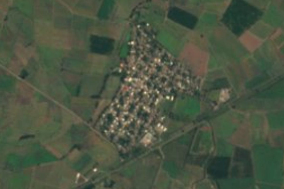
Village San Blas, Nayarit Municipality of San Blas Banderas Bay Riviera Nayarit
A farming village of about 1,650 people on the flat coastal plain north of San Blas, two kilometers from Guadalupe Victoria.
From Tepic: 1 h 10 min by car (72 km by road) How to get there ↓
Near here
See everything nearby ↓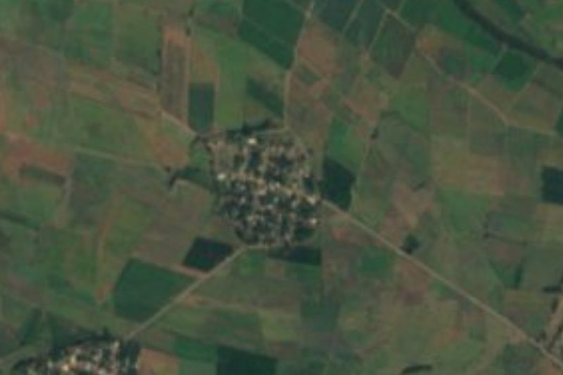
Plan your visit to Aután
Where to stay near Aután
Compare hotels, posadas and guest houses in Aután.
Tours to Aután
Day trips and guided outings from San Blas often include Aután; with a local guide you can get there without a car.
 Tours from Sayulita
Yelapa & Secluded Private Beach ALL INCLUSIVE Adventure
★ 4.8 (2,559) · From US$135
How to get to Aután
- From Tepic: about 1 h 10 min by road (~72 km)
- Nearest airport: Tepic (TPQ), 1 h 5 min by car to San Blas
Links open a partner site. We may earn a commission if you book, at no cost to you.
Tours from Sayulita, near Aután


Tours, prices and ratings from Viator, checked weekly. We may earn a commission if you book.
About Aután
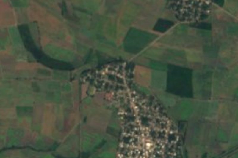
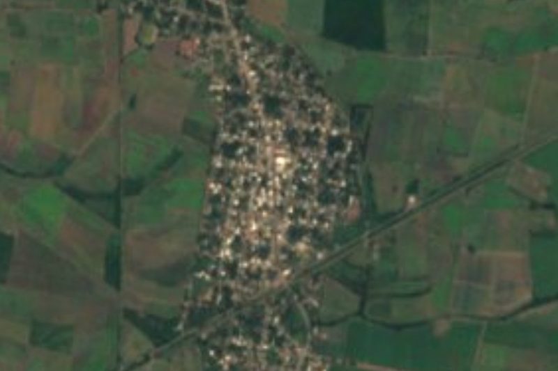
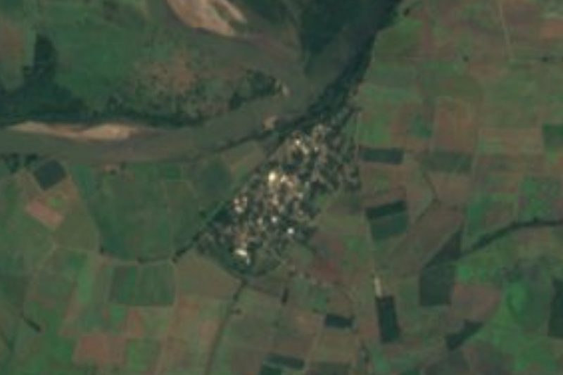
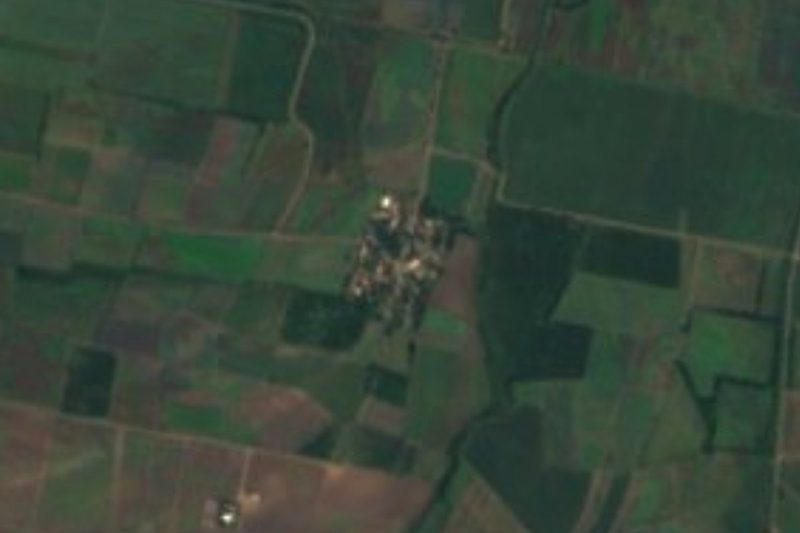
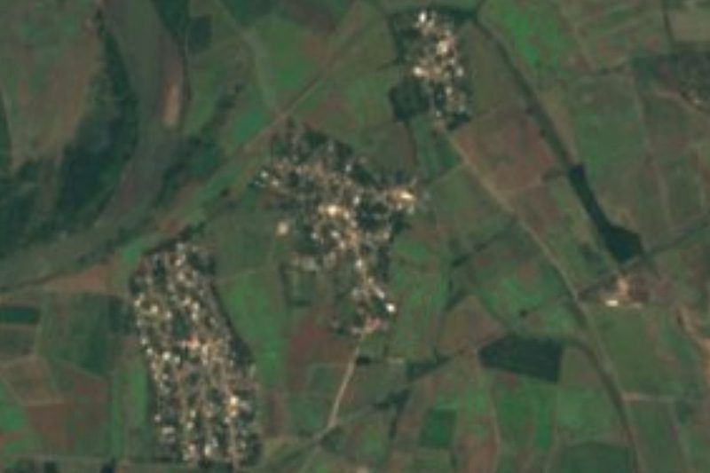
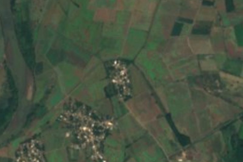
Aután is a farming village in the north of the municipality of San Blas, out on the low, flat coastal plain that runs toward Santiago Ixcuintla. It sits barely ten meters above sea level, about 17 kilometers north of the port of San Blas in a straight line and roughly 26 to 29 kilometers away by road. Its closest neighbors are small rural settlements such as El Carleño and El Toro Guaco, and the larger village of Guadalupe Victoria, known locally as La Virocha, lies about two kilometers to the northeast.
The name comes from Náhuatl; Spanish Wikipedia renders it as "place where aqueducts abound", built from words for water and canal. The census traces a village that grew steadily through the twentieth century, from fewer than 500 people in 1930 to a peak of about 2,670 in 1980, and has slowly shrunk since: the 2020 count found 1,647 residents in 557 occupied homes. The climate is hot and humid, with an average temperature of about 25 °C and around 1,200 mm of rain a year.
Aután has no hotels or tourist services of its own. It does have several schools, from kindergarten up to an upper-secondary institute, and an IMSS-Bienestar clinic, and it lies on the paved state road that links Guadalupe Victoria with federal Highway 15. Most of the area's restaurants, taquerías and roast-chicken stands are in Guadalupe Victoria, and the nearest lodgings are a few kilometers away. For travelers it is a quiet stop on the back roads between San Blas and the north of Nayarit; the island town of Mexcaltitán is about 56 kilometers away by road.
How to get to Aután
Drive from Tepic: 1 h 10 min, 72 km
Aután is about 26 to 29 km from San Blas by road, roughly half an hour by car. It lies on the paved state road that runs from Guadalupe Victoria to federal Highway 15, so you can also reach it from the highway between Tepic and the north of the state. Mexcaltitán is about 56 km away, a little under an hour's drive.
Directions to Aután on Google Maps
Distances are in a straight line; the road is usually longer.
Links open a partner site. We may earn a commission if you book, at no cost to you.
From the nearest cities to Aután
- Tepic · 72 km by road, 1 h 10 min
- Puerto Vallarta · 187 km by road, 2 h 55 min
- Mazatlán · 270 km by road, 3 h 35 min
Drive times by road from OpenStreetMap, without traffic or stops. Times marked ~ are estimated from the straight-line distance.
Before you go to Aután: hours, prices and tips
- What to bring
- Bring sunscreen and insect repellent: the San Blas area has jejenes, tiny biting gnats. Visit Nayarit · checked Oct 2026
Hours and prices change, especially around holidays. Each fact links to where we checked it.
Visiting Aután: what to see and do
Drive the farm roads of the coastal plain between Aután, El Carleño and Guadalupe Victoria.
Eat at the taquerías and roast-chicken stands of neighboring Guadalupe Victoria.
Continue south to San Blas for its historic port and the mangrove boat trips of La Tovara.
Head north to Mexcaltitán, the island town in the marshes, about 56 km away by road.
Plan your trip
Places to stay in Aután
Compare hotels, posadas, and rentals in and around Aután.
Tours & activities
Day trips and guided outings from San Blas often include Aután; with a local guide you can get there without a car.
Rental cars
Pick up a car at TPQ (Tepic): about 1 h 5 min by road to San Blas, then 17 km more to Aután, on your own schedule.
Flights
The nearest airport with scheduled flights is Tepic (TPQ), about 1 h 5 min by road from San Blas, the base for Aután.
Mobile data
Signal can drop away from San Blas: download a map of the way to Aután before you set out, or carry an eSIM with data.
Links open a partner site. We may earn a commission if you book, at no cost to you.
When to go to Aután warm
Aután shares the climate of San Blas, 17 km away. The best months to visit are March, April, May, and December.
See the month-by-month climate of San Blas
Weather in Aután now and the next 7 days
Live forecast from Open-Meteo. Chance of rain is the day's highest.
The closest Pueblo Mágico: San Blas

San Blas is the Pueblo Mágico closest to Aután, with places to stay, food, and more to see.
Also close to
- Mexcaltitán · Nayarit · 30 km away
- Compostela · Nayarit · 66 km away
- Puerto Balleto · Nayarit · 67 km away
Closest to Aután
-
El Carleño · Village · 2 km away
-
El Madrigaleño · Village · 2 km away
-
Guadalupe Victoria · Village · 2 km away
-
Pimientillo · Village · 5 km away
-
El Capomo · Village · 6 km away
-
Isla del Conde · Village · 6 km away
-
Playa de Ramírez · Village · 6 km away
-
La Chiripa · Village · 7 km away
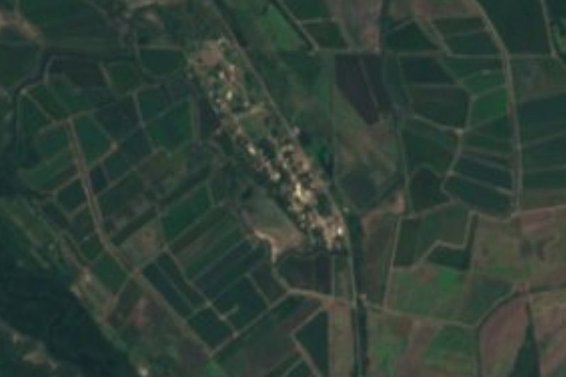
Near Aután
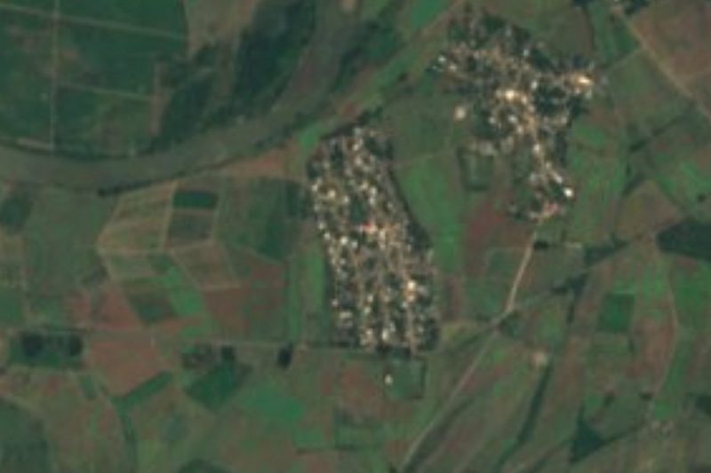
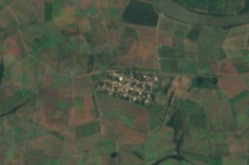
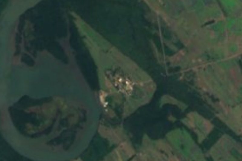
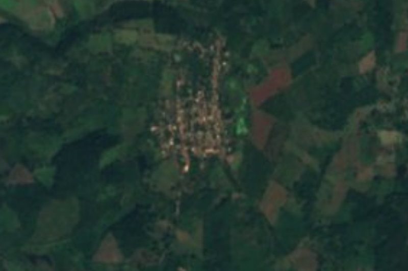
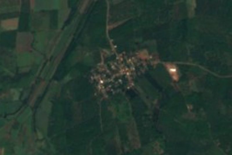

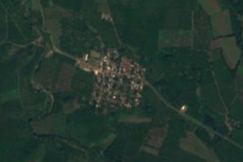




Drive times by road from OpenStreetMap, without traffic. Times marked ~ are estimated from the straight-line distance.
Location from OpenStreetMap. Written by Puebloteca.