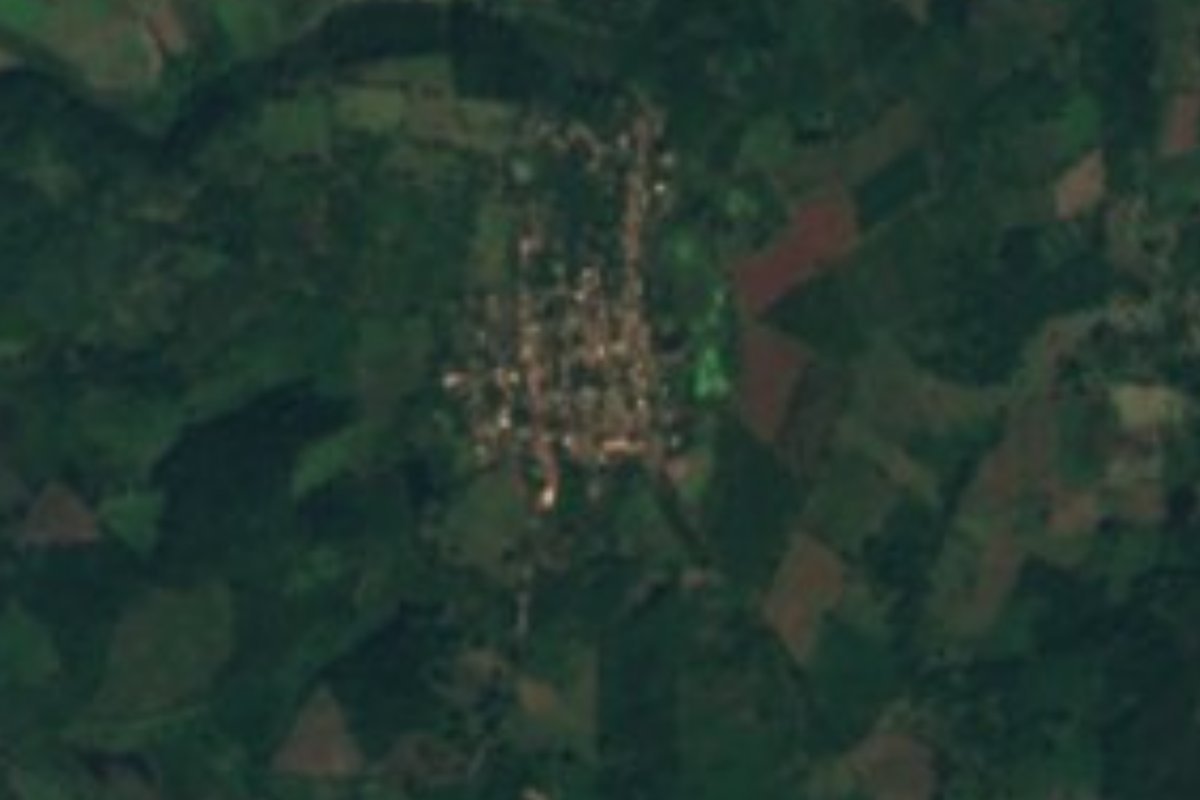
Village San Blas, Nayarit Municipality of San Blas Banderas Bay Riviera Nayarit
Ejido village of about 540 people north of San Blas, built over a Postclassic Aztatlán town where archaeologists found ten sacrificed skulls.
From Tepic: 1 h 5 min by car (66 km by road) How to get there ↓
Near here
See everything nearby ↓

Plan your visit to Chacalilla
Where to stay near Chacalilla
Compare hotels, posadas and guest houses in Chacalilla.
Tours to Chacalilla
Day trips and guided outings from San Blas often include Chacalilla; with a local guide you can get there without a car.
 Tours from Sayulita
Yelapa & Secluded Private Beach ALL INCLUSIVE Adventure
★ 4.8 (2,559) · From US$135
How to get to Chacalilla
- From Tepic: about 1 h 5 min by road (~66 km)
- Nearest airport: Tepic (TPQ), 1 h 5 min by car to San Blas
Links open a partner site. We may earn a commission if you book, at no cost to you.
Tours from Sayulita, near Chacalilla


Tours, prices and ratings from Viator, checked weekly. We may earn a commission if you book.
About Chacalilla
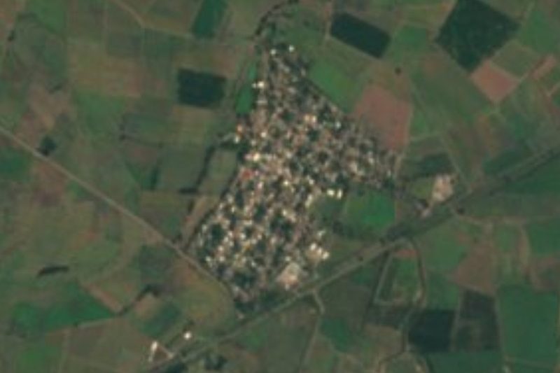
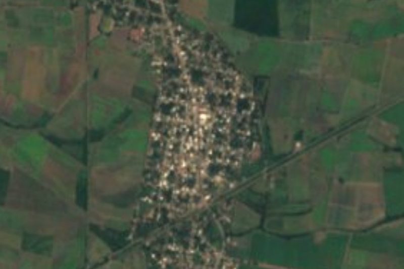
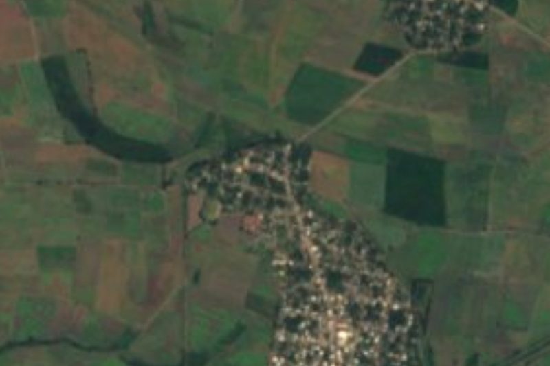
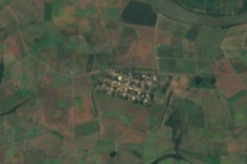
Chacalilla is a small farming village in the municipality of San Blas, Nayarit, on the flat coastal plain about 9 to 10 kilometers north of the port. It sits at the foot of Cerro Chacalilla, a low volcanic hill only about 55 meters high, with lagoons, mangroves and shrimp ponds on one side and the farmland of the plain on the other. The 2020 census counted 536 people, a little more than the 486 of 2010, and the village is the seat of an ejido whose members farm the surrounding land; local farm news lists it among the San Blas communities that grow beans, and it lies in a zone certified as low prevalence for fruit flies.
What makes Chacalilla unusual is what lies underneath it. The village and its ejido sit over part of a large pre-Hispanic settlement that flourished between about A.D. 900 and 1350 and is considered one of the great centers of the Aztatlán tradition, the culture that linked the Pacific coast of West Mexico through trade. Archaeologists describe a complex town with a ceremonial area, pyramid-like structures, platforms and causeways, a ball court, house areas and workshops for pottery and obsidian. Its position was strategic: from the hill people could fish the sea and the estuaries, farm the floodplain and use the resources of the nearby sierra. So far it is the southernmost of the big Aztatlán centers known.
The site was studied by a project led by Michael Ohnersorgen of the University of Missouri-St. Louis together with INAH, with a pilot season in 2003 and field seasons funded by the US National Science Foundation from 2007. In 2008 excavators working in the South Subgroup, a pair of low mounds that frame what looks like a sunken patio linked to sun worship and the farming cycle, found ten human skulls from people who had been sacrificed by decapitation, five women and five men, most of them young adults, with shaped skulls and some with filed teeth. A later study of their collagen concluded the skulls were laid down on at least four separate occasions, probably as offerings asking for rain. None of this is set up as a visitable archaeological zone: what you see today is an ordinary rural village, its fields and the low hill, a short drive from the beaches and mangrove boat trips of San Blas.
How to get to Chacalilla
Drive from Tepic: 1 h 5 min, 66 km
From San Blas, leave town on the highway toward Tepic and turn north onto the paved road to Guadalupe Victoria (on maps, Ramal San Blas–Guadalupe Victoria); Chacalilla is about 12 to 14 km from the center of San Blas, under 20 minutes by car. From Tepic it is about 65 km, roughly an hour, via the highway to San Blas.
Directions to Chacalilla on Google Maps
Distances are in a straight line; the road is usually longer.
Links open a partner site. We may earn a commission if you book, at no cost to you.
From the nearest cities to Chacalilla
- Tepic · 66 km by road, 1 h 5 min
- Puerto Vallarta · 179 km by road, 2 h 50 min
- Guadalajara · 270 km by road, 3 h 35 min
Drive times by road from OpenStreetMap, without traffic or stops. Times marked ~ are estimated from the straight-line distance.
Before you go to Chacalilla: hours, prices and tips
- Best season
- January is the coolest month (about 21 °C on average), June the hottest (about 27 °C) and August the wettest, with around 1,300 mm of rain a year. PueblosAmerica · checked Oct 2026
Hours and prices change, especially around holidays. Each fact links to where we checked it.
Visiting Chacalilla: what to see and do
See the low volcanic hill of Cerro Chacalilla, which once held the ceremonial center of an Aztatlán town.
Look out over the shrimp ponds, lagoons and mangroves on the edge of the village.
Drive the farm roads of the coastal plain north toward Guadalupe Victoria and Aután.
Pair it with a boat trip through the mangroves of La Tovara or an afternoon on the beaches of San Blas.
Plan your trip
Places to stay in Chacalilla
Compare hotels, posadas, and rentals in and around Chacalilla.
Tours & activities
Day trips and guided outings from San Blas often include Chacalilla; with a local guide you can get there without a car.
Rental cars
Pick up a car at TPQ (Tepic): about 1 h 5 min by road to San Blas, then 9 km more to Chacalilla, on your own schedule.
Flights
The nearest airport with scheduled flights is Tepic (TPQ), about 1 h 5 min by road from San Blas, the base for Chacalilla.
Mobile data
Signal can drop away from San Blas: download a map of the way to Chacalilla before you set out, or carry an eSIM with data.
Links open a partner site. We may earn a commission if you book, at no cost to you.
When to go to Chacalilla warm
Chacalilla shares the climate of San Blas, 9 km away. The best months to visit are March, April, May, and December.
See the month-by-month climate of San Blas
Weather in Chacalilla now and the next 7 days
Live forecast from Open-Meteo. Chance of rain is the day's highest.
The closest Pueblo Mágico: San Blas

San Blas is the Pueblo Mágico closest to Chacalilla, with places to stay, food, and more to see.
Also close to
- Mexcaltitán · Nayarit · 39 km away
- Compostela · Nayarit · 57 km away
- Puerto Balleto · Nayarit · 71 km away
Closest to Chacalilla
-
La Chiripa · Village · 5 km away
-
El Capomo · Village · 6 km away
-
Singayta · Nature reserve · 6 km away
-
Cerro de la Contaduría · Landmark · 8 km away
-
Aután · Village · 9 km away
-
Guadalupe Victoria · Village · 9 km away
-
Reforma Agraria · Village · 9 km away
-
El Carleño · Village · 10 km away
Near Chacalilla





Drive times by road from OpenStreetMap, without traffic. Times marked ~ are estimated from the straight-line distance.
Location from OpenStreetMap. Written by Puebloteca.