Village San Blas, Nayarit Municipality of San Blas Banderas Bay Riviera Nayarit
A foothill village of about 1,650 people off the San Blas road, some 13 km inland from the port and a short drive from Singayta.
From Tepic: 55 min by car (47 km by road) How to get there ↓
Near here
See everything nearby ↓

Plan your visit to La Libertad
Where to stay near La Libertad
Compare hotels, posadas and guest houses in La Libertad.
Tours to La Libertad
Day trips and guided outings from San Blas often include La Libertad; with a local guide you can get there without a car.
 Tours from Sayulita
Yelapa & Secluded Private Beach ALL INCLUSIVE Adventure
★ 4.8 (2,559) · From US$135
How to get to La Libertad
- From Tepic: about 55 min by road (~47 km)
- Nearest airport: Tepic (TPQ), 1 h 5 min by car to San Blas
Links open a partner site. We may earn a commission if you book, at no cost to you.
Tours from Sayulita, near La Libertad


Tours, prices and ratings from Viator, checked weekly. We may earn a commission if you book.
About La Libertad
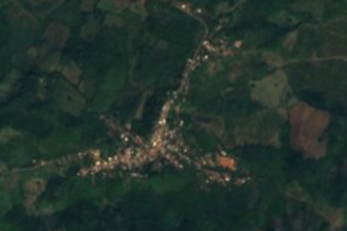
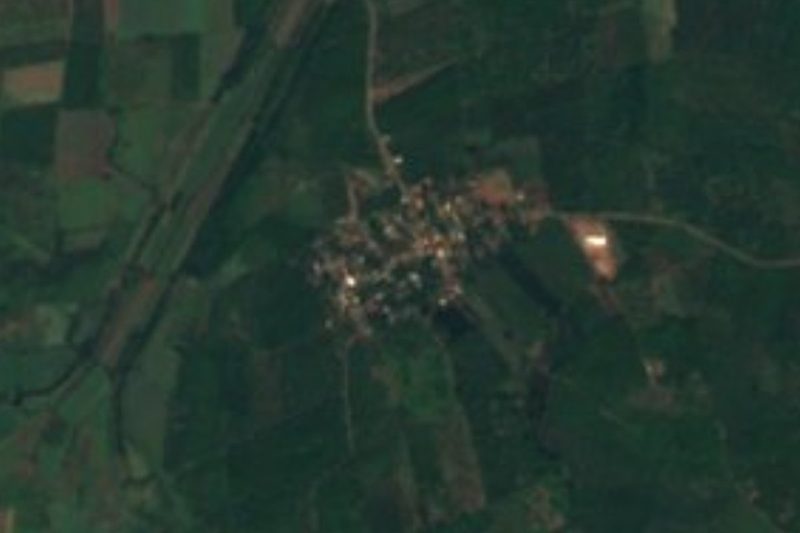
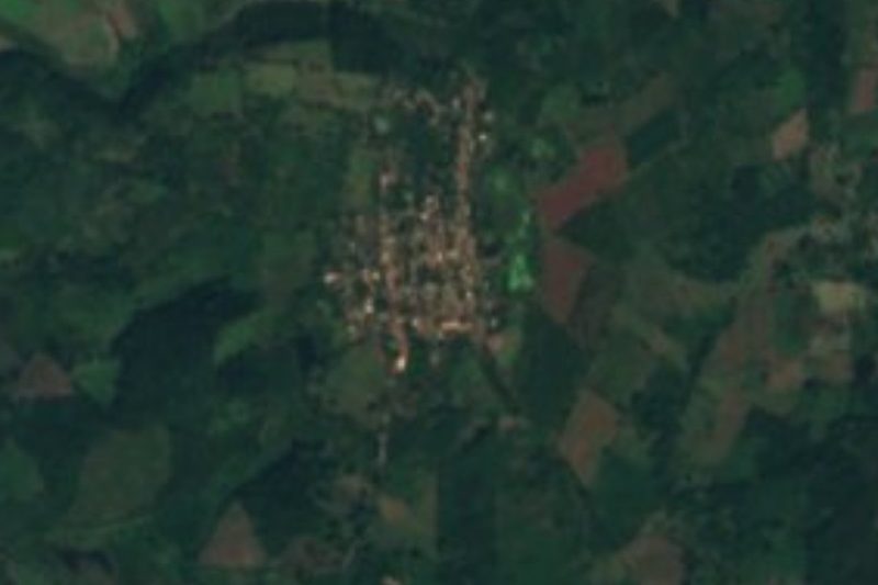
La Libertad is a village in the municipality of San Blas, about 13 kilometers east of the port where the coastal lowlands give way to the first hills. At roughly 200 meters above sea level it sits well above the mangroves and estuaries that surround San Blas, on a short branch road off state highway 74, the main road that climbs down from federal Highway 15 to the coast.
It is a mid-sized rural community. The 2020 census counted 1,656 people, 871 men and 785 women, in 525 occupied homes; in 1900 there were fewer than 200 residents, and the village passed a thousand in the 1960s. Most people are Catholic, about half of those over twelve work, and the village has a kindergarten, two schools and a telebachillerato. There are no hotels: the nearest lodgings are on the coast around Matanchén and Aticama, 15 to 18 kilometers away.
Travelers mainly see La Libertad on the way to somewhere else. The birding community of Singayta, with guided walks and boat trips through the mangroves, is about six kilometers to the north, and the hamlet of José María Mercado, known as El Infierno, lies about four kilometers east. The nearest beach, El Borrego, is about 18 kilometers away. The climate is hot and humid, averaging about 24 °C, with rain falling on some 167 days a year, mostly in summer.
How to get to La Libertad
Drive from Tepic: 55 min, 47 km
From Tepic, take federal Highway 15 toward Mazatlán and turn off onto state highway 74 toward San Blas, the road that passes Singayta; La Libertad is reached by a short branch road (the Ramal a La Libertad) off this highway, about 13 km east of the port. San Blas is about 62 km from Tepic.
Directions to La Libertad on Google Maps
Distances are in a straight line; the road is usually longer.
Links open a partner site. We may earn a commission if you book, at no cost to you.
From the nearest cities to La Libertad
- Tepic · 47 km by road, 55 min
- Puerto Vallarta · 179 km by road, 2 h 50 min
- Guadalajara · 252 km by road, 3 h 25 min
Drive times by road from OpenStreetMap, without traffic or stops. Times marked ~ are estimated from the straight-line distance.
Before you go to La Libertad: hours, prices and tips
- What to bring
- Bring sunscreen and insect repellent: the San Blas area has jejenes, tiny biting gnats. Visit Nayarit · checked Oct 2026
Hours and prices change, especially around holidays. Each fact links to where we checked it.
Visiting La Libertad: what to see and do
Go birdwatching with the local guides of Singayta, about six kilometers north.
Continue down to San Blas for the old port, the Contaduría fort and the La Tovara mangroves.
Spend a beach afternoon at Playa El Borrego, about 18 km away.
Stop for a meal in nearby Mecatán or José María Mercado on the way to the coast.
Plan your trip
Places to stay in La Libertad
Compare hotels, posadas, and rentals in and around La Libertad.
Tours & activities
Day trips and guided outings from San Blas often include La Libertad; with a local guide you can get there without a car.
Rental cars
Pick up a car at TPQ (Tepic): about 1 h 5 min by road to San Blas, then 13 km more to La Libertad, on your own schedule.
Flights
The nearest airport with scheduled flights is Tepic (TPQ), about 1 h 5 min by road from San Blas, the base for La Libertad.
Mobile data
Signal can drop away from San Blas: download a map of the way to La Libertad before you set out, or carry an eSIM with data.
Links open a partner site. We may earn a commission if you book, at no cost to you.
When to go to La Libertad warm
La Libertad shares the climate of San Blas, 13 km away. The best months to visit are March, April, May, and December.
See the month-by-month climate of San Blas
Weather in La Libertad now and the next 7 days
Live forecast from Open-Meteo. Chance of rain is the day's highest.
The closest Pueblo Mágico: San Blas

San Blas is the Pueblo Mágico closest to La Libertad, with places to stay, food, and more to see.
Also close to
- Mexcaltitán · Nayarit · 47 km away
- Compostela · Nayarit · 49 km away
Closest to La Libertad
-
Las Palmas · Village · 4 km away
-
Singayta · Nature reserve · 6 km away
-
Huaristemba · Village · 8 km away
-
La Tovara · Nature reserve · 8 km away
-
Reforma Agraria · Village · 8 km away
-
Chacalilla · Village · 10 km away
-
La Bajada · Village · 10 km away
-
La Palma · Village · 11 km away

Near La Libertad



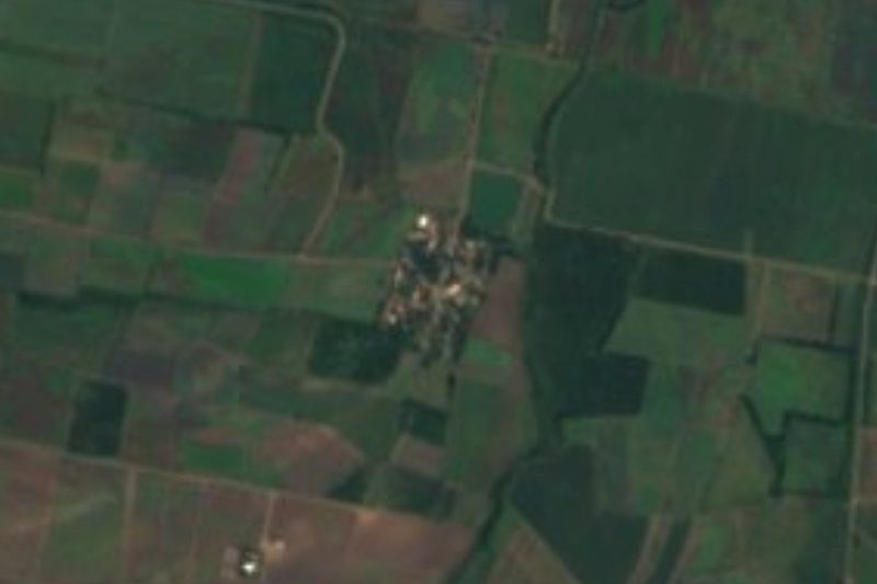
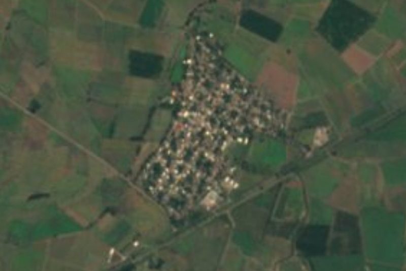
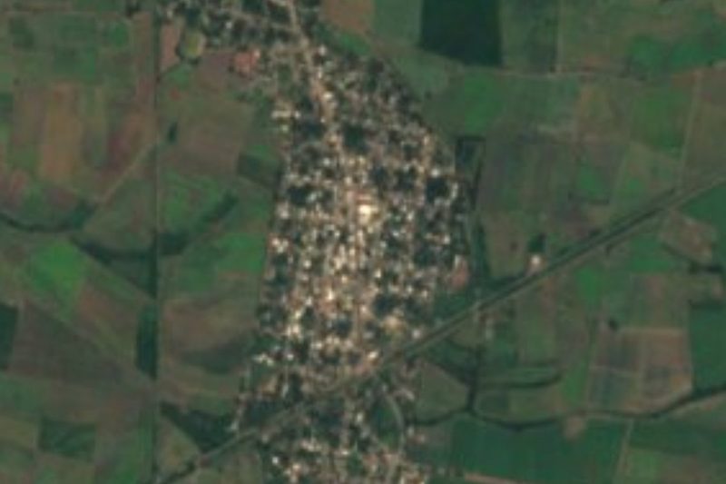
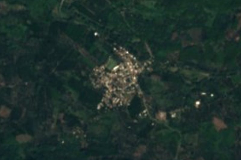

Drive times by road from OpenStreetMap, without traffic. Times marked ~ are estimated from the straight-line distance.
Location from OpenStreetMap. Written by Puebloteca.