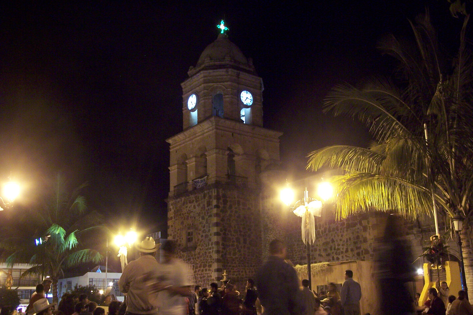
29 places with their own page in the municipality of Compostela, in the state of Nayarit.
Pueblos Mágicos in Compostela
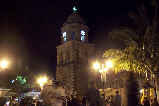
Map of Compostela
Places to visit in Compostela
Towns · 5 Villages · 12 Beaches · 8 Islands · 2 Archaeological sites · 1 Landmarks and museums · 1
Towns
-
La Peñita de Jaltemba · Town
The working town of Jaltemba Bay: a palm-lined main street to the beach, a big Thursday street market, and Guayabitos just across the river. -
Las Varas · Town
An inland farm town and road junction near Chacala, with a community museum of local archaeology and a carnival of masked mojigangas. -
Chacala · Town
A tiny fishing village on a sheltered, shell-shaped cove with calm water, beach restaurants and boat trips. -
Rincón de Guayabitos · Town
A busy family beach town on Jaltemba Bay with calm water and boat trips to Isla del Coral; roughly 1 h 15 min by car. -
Zacualpan · Town
A farming town north of Las Varas known for its devotion to the Divino Niño, a ten-day Santa Cruz fair and the turtle beach at Chila.

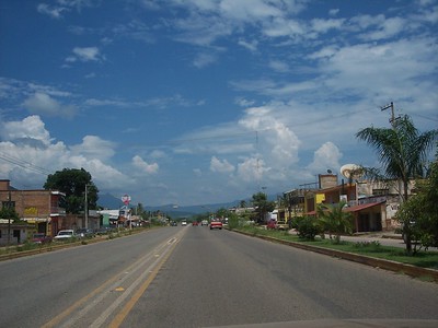


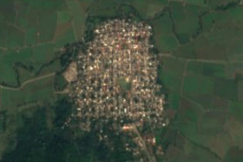
Villages
-
Los Ayala · Village
The smallest, quietest village on Jaltemba Bay: a calm, almost waveless beach, a jungle path to Playa del Beso and boats to Isla del Coral. -
La Puerta de la Lima · Village
Roadside farming village on Highway 200 between La Peñita and Las Varas, the nearest village to the Altavista petroglyphs. -
Chula Vista · Village
A small, growing village on Highway 200 next to Villa Morelos, at the junction with the toll road from Puerto Vallarta, below the Sierra de Vallejo. -
El Monteón · Village
A highway village south of Los Ayala where a 2 km jungle path leads to Punta Raza, an untouched beach with a turtle sanctuary. -
Úrsulo Galván · Village
A village on Highway 200 right next to Lo de Marcos, on the Compostela side of the municipal line, a short walk from Lo de Marcos beach. -
Altavista · Village
Hillside farming village in the Sierra de Vallejo, set among mango groves, and the gateway to the Altavista petroglyphs and La Pila del Rey. -
El Capomo · Village
A farm village between La Peñita and Las Varas whose name also covers Costa Capomo, wide empty beaches backed by wetlands with crocodiles. -
Lima de Abajo · Village
A farming village of about 930 people just off Highway 200 north of La Peñita, with a road west to the beach at Boca del Naranjo. -
Otates y Cantarranas · Village
A farming village of about 800 people on the coastal plain north of Ixtapa de la Concepción, near the turtle beaches of Las Tortugas and Platanitos. -
San Isidro · Village
A small farming village on the road from Zacualpan to Ixtapa de la Concepción, on the way to the turtle beaches of Platanitos and Las Tortugas. -
Villa Morelos · Village
A growing village between Highway 200 and the Puerto Vallarta toll road, at the foot of the Sierra de Vallejo, 2 km inland from Lo de Marcos. -
Ixtapa de la Concepción · Village
A farming village at the end of the road north of Zacualpan, named for a salty river and its patron, the Immaculate Conception.



Beaches
-
Playa Punta Raza · Beach
A wild beach of about 3 km below the Punta Raza headland, reached on foot from El Monteón; strong surf, a turtle camp and no services. -
Playa de las Tortugas · Beach
A long, nearly empty turtle-nesting beach just south of Platanitos, with coconut palms, surf, a mangrove estuary and a Conanp turtle camp. -
Playa El Naranjo · Beach
Long, empty beach north of La Peñita at the far end of Jaltemba Bay, with a sea-turtle camp where you can camp and help release hatchlings. -
Playa Las Cuevas · Beach
A little-visited surf beach about 2.5 km south of Chacala, under the volcanic hill of Cerro de las Cuevas; strong waves and almost no one around. -
Playa del Beso · Beach
A small cove among rocks just past Los Ayala, also called Playa Frideras, reached by a 15-minute jungle path or along the shore at low tide. -
Playa del Toro · Beach
A tiny cove of golden sand under a cliff-top lookout on the Punta Raza headland, about an hour's jungle walk from Los Ayala. -
Playa Platanitos · Beach
A fishing village beach south of Santa Cruz de Miramar with grilled-fish ramadas, a river-mouth surf break and a sea turtle camp. -
Playa Boca de Chila · Beach
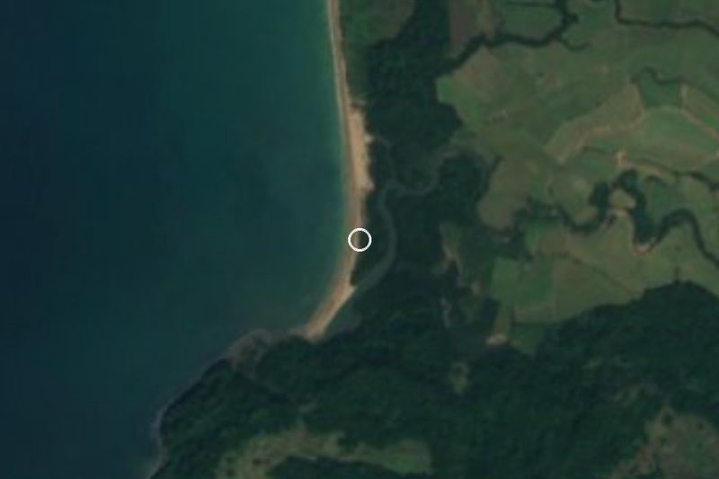
A long, empty beach of pale sand at the mouth of the Chila river, with mangroves, water birds and a sea-turtle camp, west of Zacualpan.


Islands
-
Isla Cangrejito · Island
A grass-topped rock islet in Jaltemba Bay, also mapped as Isla Cerotero, between the beaches of Guayabitos and Los Ayala and Isla del Coral. -
Isla del Coral · Island
A small jungle-topped island off Rincón de Guayabitos, a 15-minute panga ride away, with a sheltered beach, easy snorkelling and an underwater Virgin.


Archaeological sites
-
Petroglifos de Altavista · Archaeological site
Ancient rock carvings along a jungle stream, still a sacred place where Wixárika (Huichol) pilgrims leave offerings.
Landmarks and museums
-
Ex-Hacienda de Miravalles · Landmark
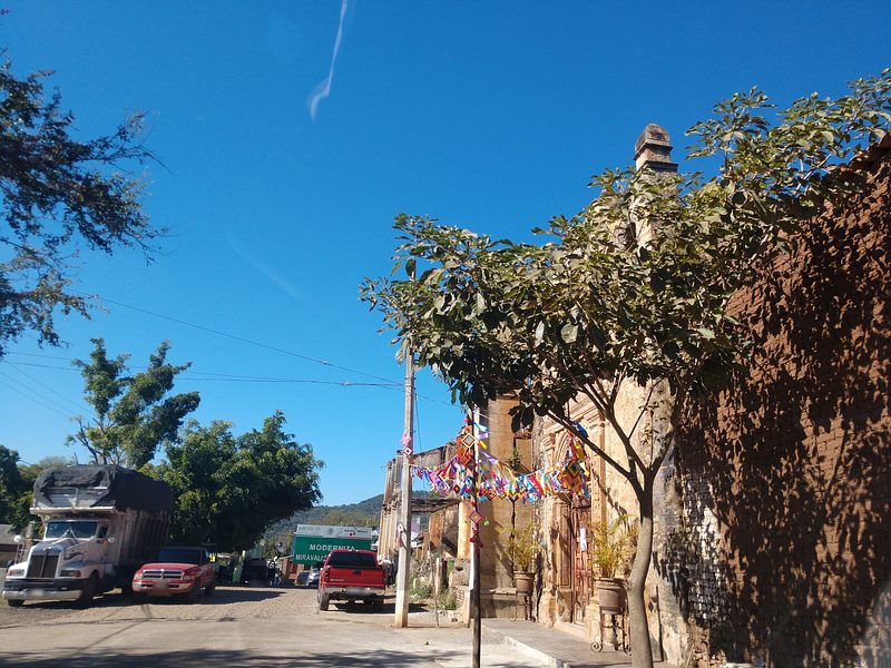
Ruins of a colonial hacienda linked to the Counts of Miravalle, with a small baroque chapel, arcaded corridors and old stables.
Neighbouring municipalities
Bahía de Banderas · 45 San Blas · 33
More of Nayarit
Every place in Nayarit → Lakes and Lagoons in Nayarit · 3 Beaches in Nayarit · 25 Islands in Nayarit · 3 Nature Parks in Nayarit · 6