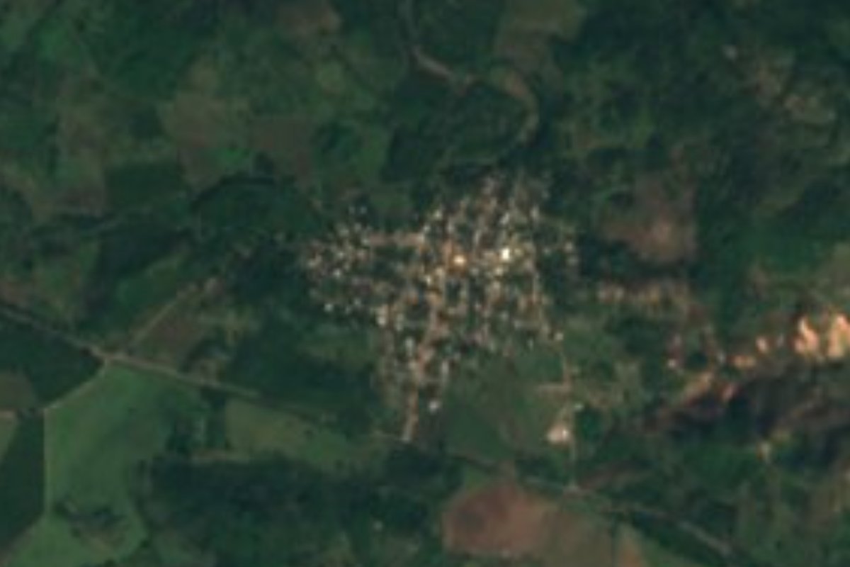
Village Compostela, Nayarit Municipality of Compostela Banderas Bay Riviera Nayarit
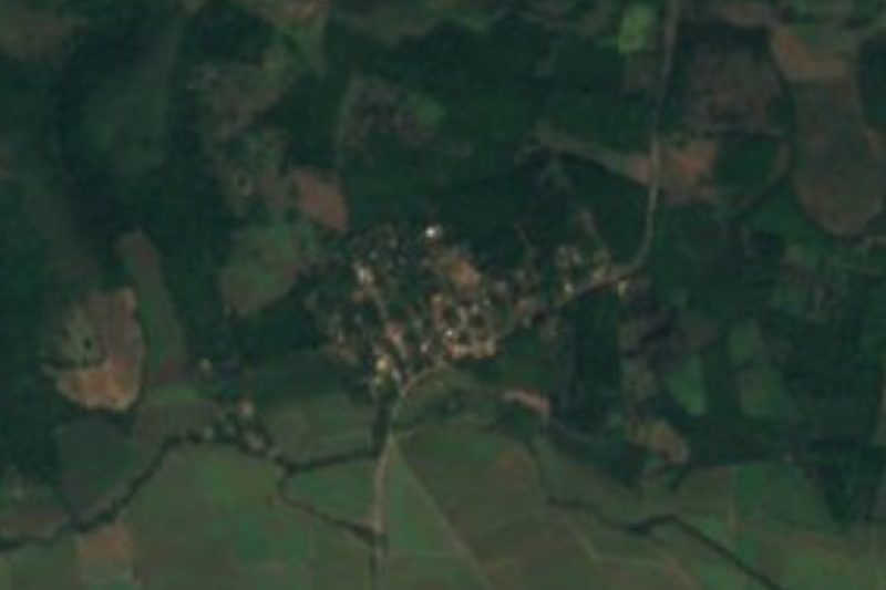
A farming village of about 800 people on the coastal plain north of Ixtapa de la Concepción, near the turtle beaches of Las Tortugas and Platanitos.
From Tepic: 1 h 20 min by car (78 km by road) How to get there ↓
Near here
See everything nearby ↓


Plan your visit to Otates y Cantarranas
Where to stay near Otates y Cantarranas
Compare hotels, posadas and guest houses in Otates y Cantarranas.
Tours to Otates y Cantarranas
Day trips and guided outings from San Blas often include Otates y Cantarranas; with a local guide you can get there without a car.
 Tours from Sayulita
Yelapa & Secluded Private Beach ALL INCLUSIVE Adventure
★ 4.8 (2,559) · From US$135
How to get to Otates y Cantarranas
- From Tepic: about 1 h 20 min by road (~78 km)
- Nearest airport: Tepic (TPQ), 1 h 5 min by car to San Blas
Links open a partner site. We may earn a commission if you book, at no cost to you.
Tours from Sayulita, near Otates y Cantarranas


Tours, prices and ratings from Viator, checked weekly. We may earn a commission if you book.
About Otates y Cantarranas
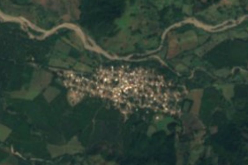
Otates y Cantarranas is a farming village in the far northwest of the municipality of Compostela, Nayarit, on the flat, low coastal plain (about 15 meters above sea level) a few kilometers north of Ixtapa de la Concepción and some 31 km west of the town of Compostela. The 2020 census counted 802 people, close to the 796 of 2005 and the 855 of 2010.
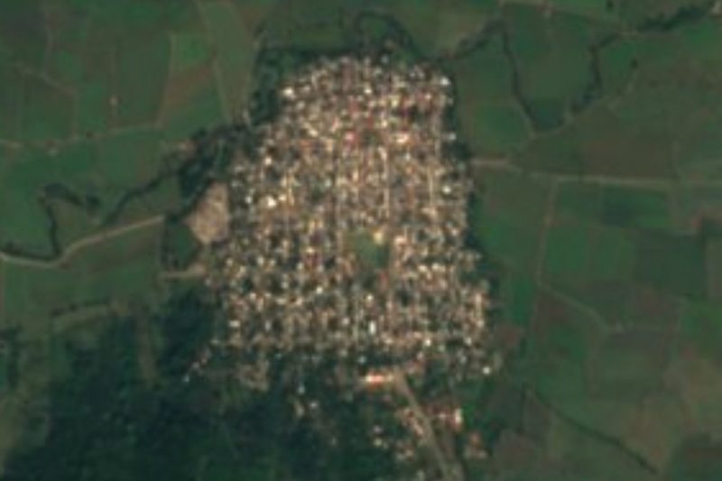
The village is a tidy grid of streets, many of them named after dates in Mexican history, such as 16 de Septiembre, 5 de Mayo, 20 de Noviembre and 18 de Marzo, with a preschool, the Gregorio Torres Quintero primary school, a telesecundaria and a telebachillerato. Its postal code is 63710. Like the rest of this part of Compostela, it lives mainly from farming.
The village itself has no sights, but it sits between two of the quietest stretches of the Riviera Nayarit. To the west and north are Playa Las Tortugas and Platanitos, whose two sea-turtle camps, run by Conanp, release over 250,000 hatchlings a season, among the most in the state, and hold a sea-turtle festival every July. The beach at Chila is about 19 km south, and the Pueblo Mágico of San Blas is about 42 km away, some 45 minutes by car. A new 26 km highway from Las Varas to Platanitos, begun in 2026 and due in September 2028, is expected to cut the drive along this coast from 33 to 14 minutes.
How to get to Otates y Cantarranas
Drive from Tepic: 1 h 20 min, 78 km
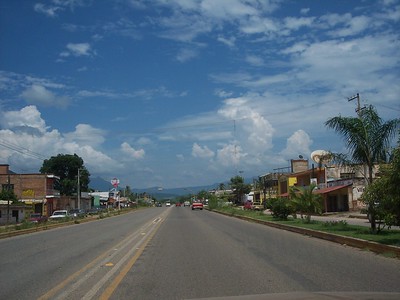
From Puerto Vallarta, take Highway 200 or the 200D toll road north to Las Varas (about 100 km). From Las Varas, state road NAY 16 runs north about 9 km to Zacualpan, and a branch road continues about 7.7 km to Ixtapa de la Concepción; Otates y Cantarranas is a few kilometers further north. San Blas is about 42 km away, around 45 minutes by car.
Directions to Otates y Cantarranas on Google Maps
Distances are in a straight line; the road is usually longer.
Links open a partner site. We may earn a commission if you book, at no cost to you.
From the nearest cities to Otates y Cantarranas
- Tepic · 78 km by road, 1 h 20 min
- Puerto Vallarta · 123 km by road, 1 h 45 min
- Guadalajara · 249 km by road, 3 h 15 min
Drive times by road from OpenStreetMap, without traffic or stops. Times marked ~ are estimated from the straight-line distance.
Before you go to Otates y Cantarranas: hours, prices and tips
- Best season
- Turtles nest and hatch on this coast from about June to February, and the Platanitos camps hold a sea-turtle festival every July. PV Angels (Riviera Nayarit CVB article) · checked Oct 2026
Hours and prices change, especially around holidays. Each fact links to where we checked it.
Visiting Otates y Cantarranas: what to see and do
Drive out to the long, empty beach of Playa Las Tortugas.
Join a hatchling release at the Platanitos or Las Tortugas turtle camps in season.
Come for the sea-turtle festival at Platanitos in July.
Continue north along the coast to San Blas.
Plan your trip
Places to stay in Otates y Cantarranas
Compare hotels, posadas, and rentals in and around Otates y Cantarranas.
Tours & activities
Day trips and guided outings from San Blas often include Otates y Cantarranas; with a local guide you can get there without a car.
Rental cars
Pick up a car at TPQ (Tepic): about 1 h 5 min by road to San Blas, then 25 km more to Otates y Cantarranas, on your own schedule.
Flights
The nearest airport with scheduled flights is Tepic (TPQ), about 1 h 5 min by road from San Blas, the base for Otates y Cantarranas.
Mobile data
Signal can drop away from San Blas: download a map of the way to Otates y Cantarranas before you set out, or carry an eSIM with data.
Links open a partner site. We may earn a commission if you book, at no cost to you.
When to go to Otates y Cantarranas warm
Otates y Cantarranas shares the climate of San Blas, 25 km away. The best months to visit are March, April, May, and December.
See the month-by-month climate of San Blas
Weather in Otates y Cantarranas now and the next 7 days
Live forecast from Open-Meteo. Chance of rain is the day's highest.
The closest Pueblo Mágico: San Blas

San Blas is the Pueblo Mágico closest to Otates y Cantarranas, with places to stay, food, and more to see.
Also close to
- Compostela · Nayarit · 31 km away
- Sayulita · Nayarit · 58 km away
- Mexcaltitán · Nayarit · 71 km away
- Ahuacatlán · Nayarit · 79 km away
Closest to Otates y Cantarranas
-
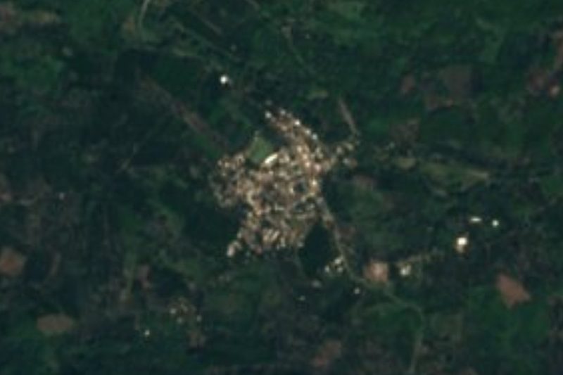
El Espino · Village · 4 km away
-
Ixtapa de la Concepción · Village · 4 km away
-
Playa Platanitos · Beach · 6 km away
-
Playa de las Tortugas · Beach · 6 km away
-
Jolotemba · Village · 7 km away
-
San Isidro · Village · 7 km away
-
El Llano · Village · 10 km away
-
Zacualpan · Town · 10 km away
Near Otates y Cantarranas
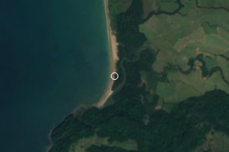

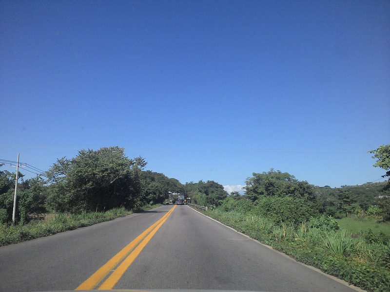
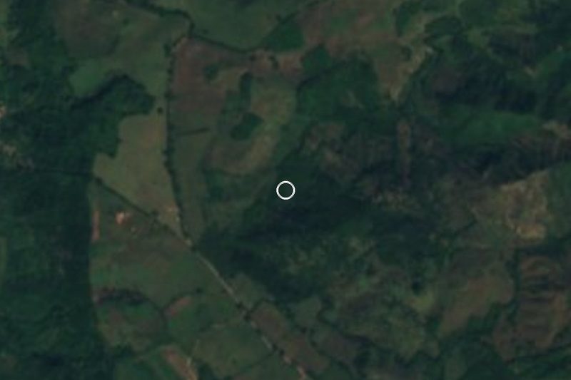


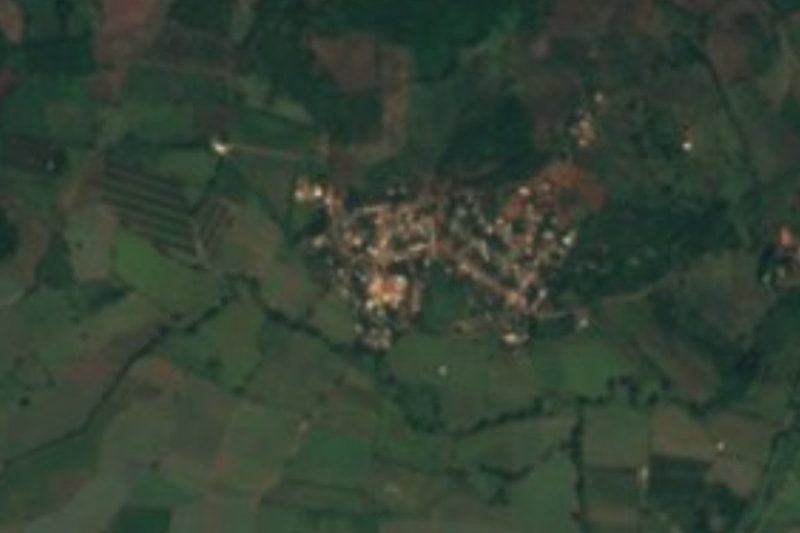


Drive times by road from OpenStreetMap, without traffic. Times marked ~ are estimated from the straight-line distance.
Location from OpenStreetMap. Written by Puebloteca.