Beach Compostela, Nayarit Municipality of Compostela Banderas Bay Riviera Nayarit
A wild beach of about 3 km below the Punta Raza headland, reached on foot from El Monteón; strong surf, a turtle camp and no services.
From Puerto Vallarta: 1 h 10 min by car (79 km by road) How to get there ↓
Near here
See everything nearby ↓


Plan your visit to Playa Punta Raza
Where to stay near Playa Punta Raza
Compare hotels, posadas and guest houses in Playa Punta Raza.
Tours to Playa Punta Raza
Day trips and guided outings from Sayulita often include Playa Punta Raza; with a local guide you can get there without a car.
 Tours from Sayulita
Yelapa & Secluded Private Beach ALL INCLUSIVE Adventure
★ 4.8 (2,559) · From US$135
How to get to Playa Punta Raza
- From Puerto Vallarta: about 1 h 10 min by road (~79 km)
- Nearest airport: Puerto Vallarta (PVR), 41 min by car to Sayulita
Links open a partner site. We may earn a commission if you book, at no cost to you.
Tours from Sayulita, near Playa Punta Raza


Tours, prices and ratings from Viator, checked weekly. We may earn a commission if you book.
About Playa Punta Raza
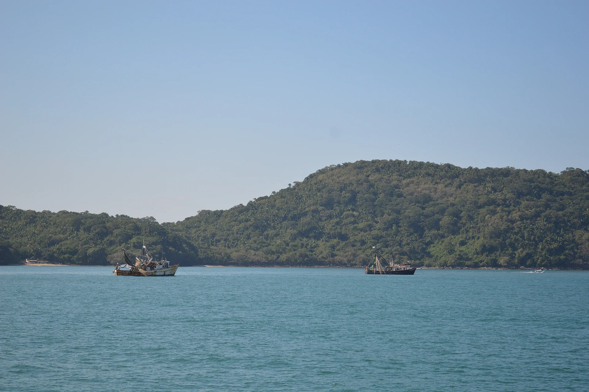
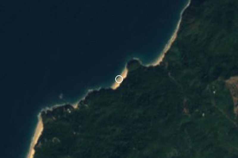
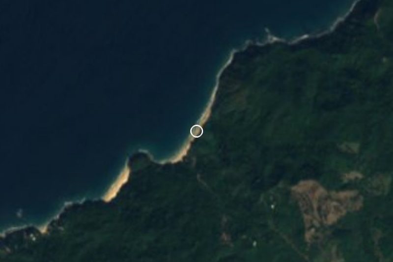
Playa Punta Raza is a long, empty beach on the Riviera Nayarit coast in the municipality of Compostela, Nayarit, roughly halfway between Lo de Marcos and La Peñita de Jaltemba. It runs for about 3 km along the open Pacific, from the rocky Punta Raza headland, which closes off Jaltemba Bay to the south, down toward the village of El Monteón, and it faces west into the swell. Behind the sand rise steep, forested hills, and there is no village, road or building on the beach itself.
The state tourism board calls it one of the last untouched beaches of the Riviera Nayarit: soft golden sand, turquoise water and, most days, almost nobody else. The other side of that wildness is the sea. The surf is strong and there is a serious undertow, so this is a place to walk, sit and watch the waves rather than to swim. An independent turtle camp works on the beach, collecting olive ridley eggs and guarding them until the hatchlings are released; it is run by a small team with volunteers and released some 4,000 hatchlings in 2016. From December to March humpback whales can be seen offshore.
Getting here is part of the trip. A narrow path of about 2 km starts in El Monteón, on Highway 200, and climbs through the hills under tall palms, with views back over the coast, before dropping to the sand; mapped trails also link the beach with Los Ayala, around the hill of Cerro El Toro. There are no shops, restaurants or shade on the beach, so bring water and food and come in daylight. Big plans have long been announced for this stretch, including resort hotels, condominiums, a golf course and a marina, and the luxury Mandarina resort area lies about 10 km away, so ask locally how much has changed before you go.
How to get to Playa Punta Raza
Drive from Puerto Vallarta: 1 h 10 min, 79 km
Drive north from Puerto Vallarta on Highway 200 past Sayulita and Lo de Marcos to El Monteón, about 9 km south of La Peñita de Jaltemba. From the village a narrow path of about 2 km winds through the hills to the beach; there is no road access for visitors and no services at the end, so bring your own water and supplies. Trails mapped on OpenStreetMap also lead from the west end of Los Ayala beach around Cerro El Toro to Punta Raza; a loop on these trails takes about two hours. Second-class buses between Puerto Vallarta and Tepic stop along Highway 200 at El Monteón.
Directions to Playa Punta Raza on Google Maps
Distances are in a straight line; the road is usually longer.
Links open a partner site. We may earn a commission if you book, at no cost to you.
From the nearest cities to Playa Punta Raza
- Puerto Vallarta · 79 km by road, 1 h 10 min
- Tepic · 107 km by road, 1 h 40 min
- Autlán · about 220 km by road, ~3 h 15 min
Drive times by road from OpenStreetMap, without traffic or stops. Times marked ~ are estimated from the straight-line distance.
Before you go to Playa Punta Raza: hours, prices and tips
- Entry
- Free; the beach is open to the public at all hours. Programa Destinos México · checked Oct 2026
- Best time of day
- Go in daylight, for safety and to see the trail. Programa Destinos México · checked Oct 2026
- Best season
- Humpback whales can be seen offshore from December to March; the rainy season runs from about June to September, usually with late-afternoon showers. Riviera Nayarit · checked Oct 2026
- What to bring
- Water, food and anything else you need: there are no commercial services on the beach. Programa Destinos México · checked Oct 2026
- Rules
- The surf is strong with a notable undertow; it is a beach for walking, not swimming. Riviera Nayarit · checked Oct 2026
Hours and prices change, especially around holidays. Each fact links to where we checked it.
Visiting Playa Punta Raza: what to see and do
Walk the empty sand from the Punta Raza headland toward El Monteón.
Hike the hill path from El Monteón, about 2 km under tall palms with views of the coast.
Visit the turtle camp in nesting season and, with luck, see a hatchling release.
Watch for humpback whales offshore from December to March.
Combine it with the calm beach and seafood palapas of Los Ayala, just around the point.
Plan your trip
Places to stay in Playa Punta Raza
Compare hotels, posadas, and rentals in and around Playa Punta Raza.
Tours & activities
Day trips and guided outings from Sayulita often include Playa Punta Raza; with a local guide you can get there without a car.
Rental cars
Pick up a car at PVR (Puerto Vallarta): about 41 min by road to Sayulita, then 21 km more to Playa Punta Raza, on your own schedule.
Flights
The nearest airport with scheduled flights is Puerto Vallarta (PVR), about 41 min by road from Sayulita, the base for Playa Punta Raza.
Travel insurance
If you plan on swimming or surfing at Playa Punta Raza, check that your policy covers it: some plans leave adventure activities out.
Mobile data
Signal can drop away from Sayulita: download a map of the way to Playa Punta Raza before you set out, or carry an eSIM with data.
Links open a partner site. We may earn a commission if you book, at no cost to you.
When to go to Playa Punta Raza warm
Playa Punta Raza shares the climate of Sayulita, 21 km away. The best months to visit are March, April, May, and November.
Playa Punta Raza is best for swimming and time on the water in the warmest months (June, July, and August); in the rainiest ones (July, August, and September) expect storms in the afternoon.
See the month-by-month climate of Sayulita
Weather in Playa Punta Raza now and the next 7 days
Live forecast from Open-Meteo. Chance of rain is the day's highest.
The closest Pueblo Mágico: Sayulita

Sayulita is the Pueblo Mágico closest to Playa Punta Raza, with places to stay, food, and more to see.
Also close to
- Compostela · Nayarit · 49 km away
- San Blas · Nayarit · 58 km away
- Mascota · Jalisco · 78 km away
Closest to Playa Punta Raza
-
Playa del Beso · Beach · 2 km away
-
Playa del Toro · Beach · 2 km away
-
Los Ayala · Village · 3 km away
-
El Monteón · Village · 4 km away
-
Isla Cangrejito · Island · 5 km away
-
Isla del Coral · Island · 5 km away
-
Rincón de Guayabitos · Town · 5 km away
-
Chula Vista · Village · 6 km away


Near Playa Punta Raza




Drive times by road from OpenStreetMap, without traffic. Times marked ~ are estimated from the straight-line distance.
Lists with Playa Punta Raza
Beaches in Nayarit · 25 Beaches near Sayulita · 42 Beaches near Puerto Vallarta · 40 Beaches near Compostela · 13 Beaches near San Blas · 10Location from OpenStreetMap. Written by Puebloteca.